Islay House Plantation
Wood, Forest in Argyllshire
Scotland
Islay House Plantation
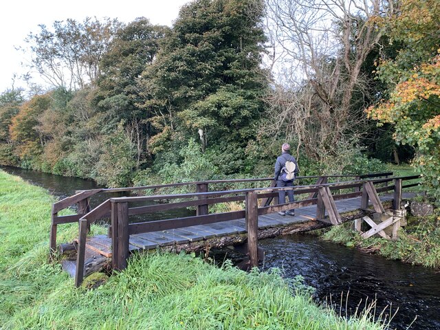
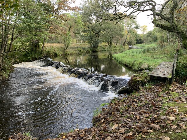
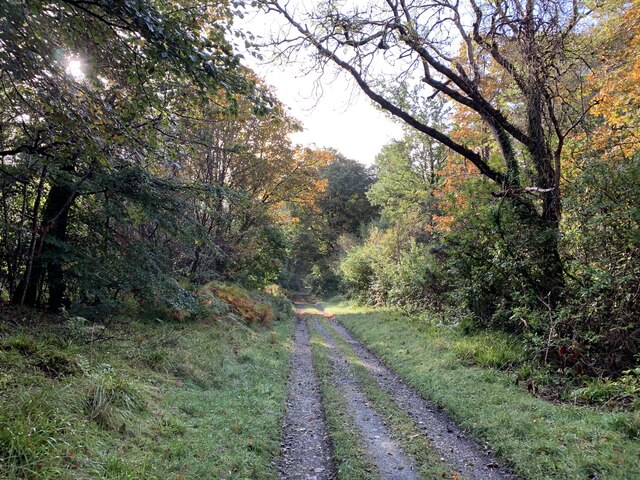
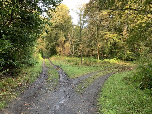
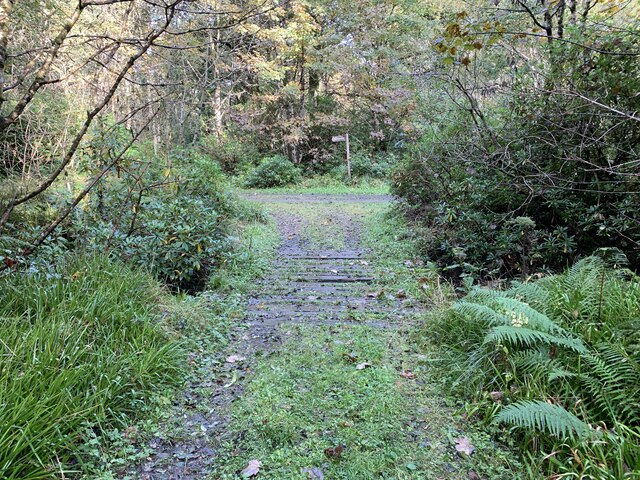
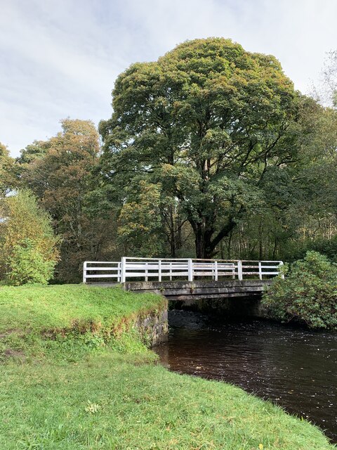
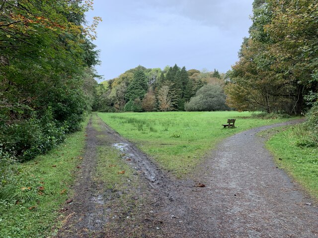
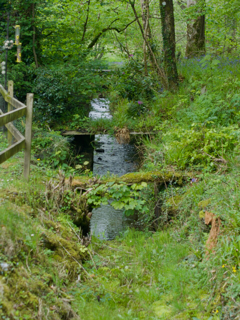
Islay House Plantation is a historic woodland area located in Argyllshire, Scotland. Situated on the picturesque island of Islay, the plantation covers a vast expanse of land and is renowned for its natural beauty and diverse flora and fauna.
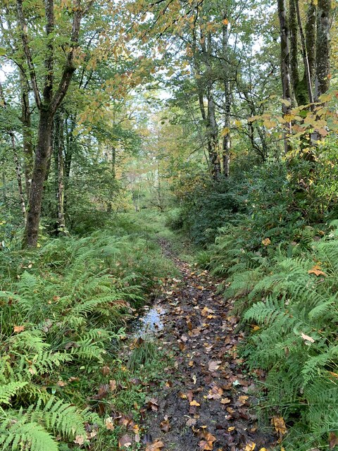
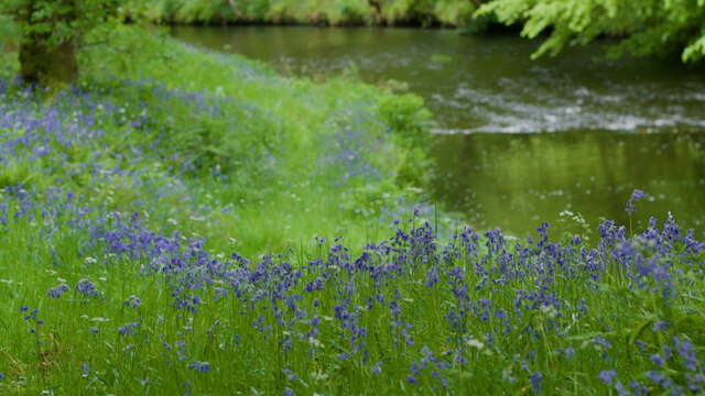
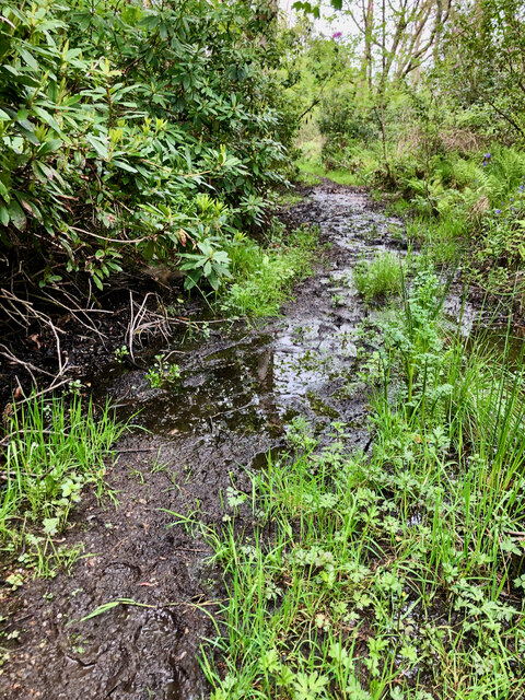
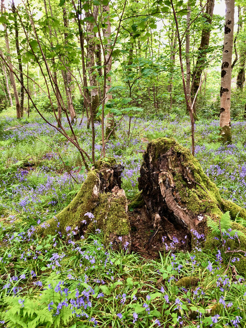
The plantation is predominantly composed of native deciduous trees, including oak, beech, and birch, which create a rich and varied woodland habitat. The trees are well-established and mature, providing a dense canopy that filters sunlight and creates a tranquil atmosphere. The forest floor is carpeted with a vibrant array of wildflowers, mosses, and ferns, adding to the enchanting aura of the area.
Islay House Plantation is also home to a wide variety of wildlife. Deer can often be spotted grazing among the trees, and red squirrels dart playfully through the branches. The woodland is a haven for birdwatchers, as it attracts numerous species, including owls, woodpeckers, and various songbirds.
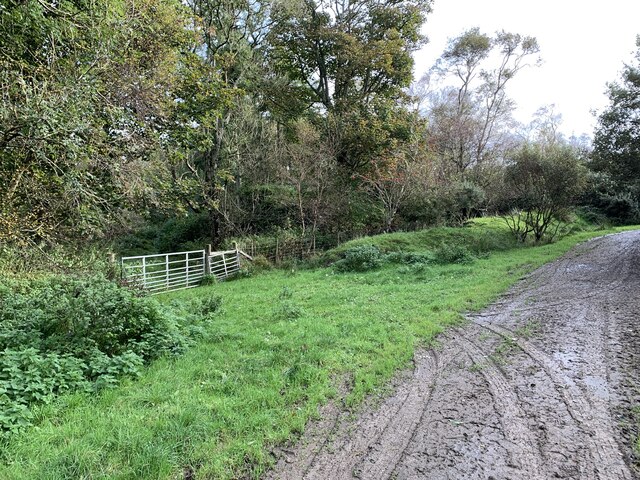
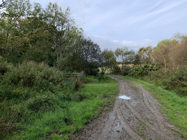
The plantation is a popular destination for nature enthusiasts and offers several walking trails that wind their way through the woodland. These trails provide an opportunity for visitors to immerse themselves in the serene surroundings and appreciate the natural wonders of Islay House Plantation.
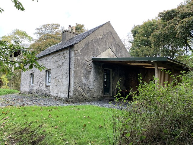
In addition to its natural splendor, Islay House Plantation has a rich historical significance. The area was once part of the Islay House estate, which dates back to the 17th century. The plantation's ancient trees and remnants of old estate features serve as a reminder of the area's past and add a touch of nostalgia to the overall experience.
Overall, Islay House Plantation offers a perfect blend of natural beauty, wildlife, and historical charm, making it a must-visit destination for nature lovers and history enthusiasts alike.
If you have any feedback on the listing, please let us know in the comments section below.
Islay House Plantation Images
Images are sourced within 2km of 55.783735/-6.2543556 or Grid Reference NR3362. Thanks to Geograph Open Source API. All images are credited.
Islay House Plantation is located at Grid Ref: NR3362 (Lat: 55.783735, Lng: -6.2543556)
Unitary Authority: Argyll and Bute
Police Authority: Argyll and West Dunbartonshire
What 3 Words
///unrealistic.seagulls.fitter. Near Bridgend, Argyll & Bute
Nearby Locations
Related Wikis

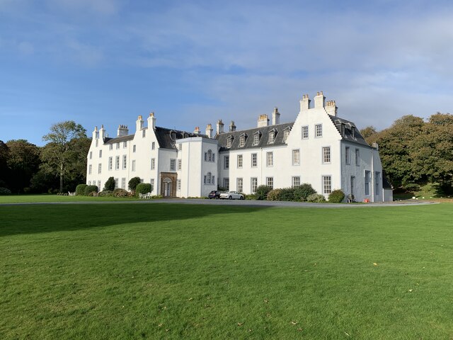
Islay House
Islay House is a Category A listed country house near Bridgend, Islay in the county of Argyll, in western Scotland on the shores of Loch Indaal. ��2�...

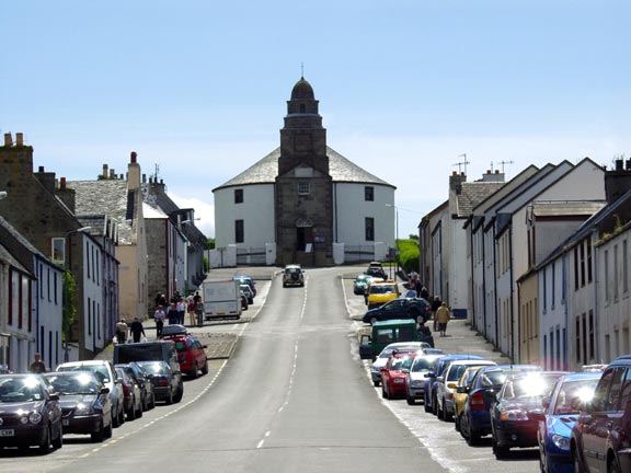
Bridgend, Islay
Bridgend (Scottish Gaelic: Beul an Àtha) is a village on the Inner Hebrides island of Islay off the western coast of Scotland at the tip of Loch Indaal...

Bridgend Flats
Bridgend Flats is an area of mudflats and saltmarsh near the village of Bridgend on the island of Islay off the west coast of Scotland. Covering an area...
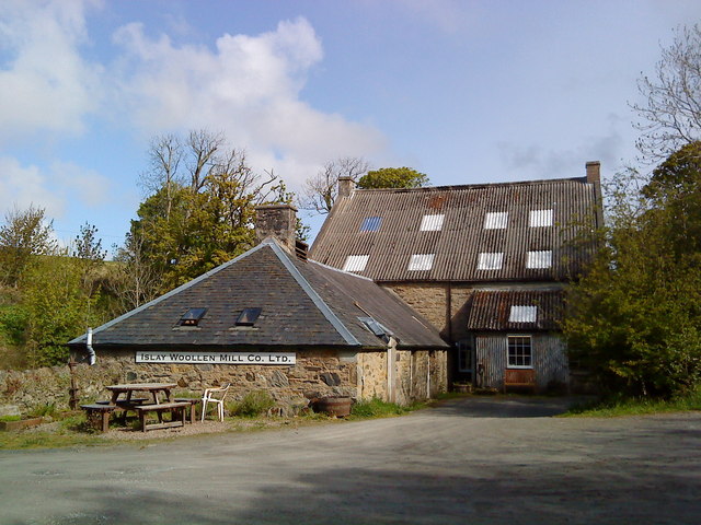
Islay Woollen Mill
Islay Woollen Mill is a Category A listed mill building near the Scottish village of Bridgend, Islay, Argyll and Bute. == History and architecture == The...

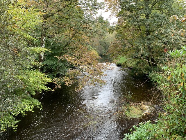
River Sorn
The River Sorn is a small river on the Scottish island of Islay. Draining Loch Finlaggan and having gathered the waters of the Allt Ruadh and the Ballygrant...
Islay Hospital
Islay Hospital is a community hospital in Gortanvogie Road, Bowmore, Scotland. It is managed by NHS Highland. == History == The facility has its origins...
Bowmore
Bowmore (Scottish Gaelic: Bogh Mòr, 'Big Bend') is a small town on the Scottish island of Islay. It serves as administrative capital of the island, and...
RAF Bowmore
Royal Air Force Bowmore or more simply RAF Bowmore is a former Royal Air Force seaplane station located in Bowmore, Argyll and Bute, Scotland. The following...
Nearby Amenities
Located within 500m of 55.783735,-6.2543556Have you been to Islay House Plantation?
Leave your review of Islay House Plantation below (or comments, questions and feedback).