Bridgend

Settlement in Argyllshire

Scotland

Bridgend

Bridge over the River Sorn Near Bridgend.
Bridge over the River Sorn Credit: Andrew Abbott

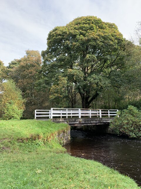
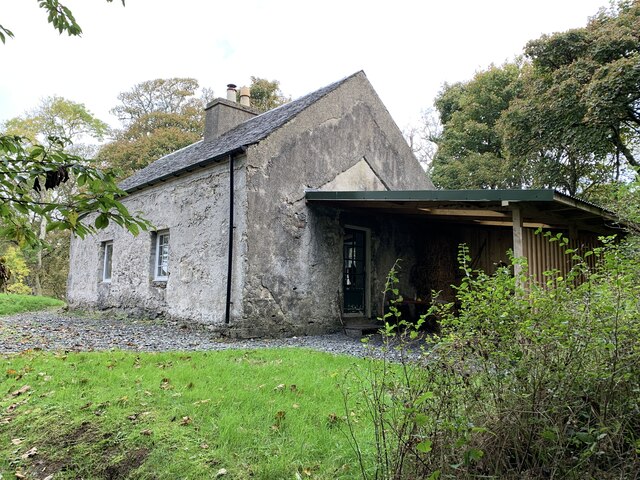
Bridgend is a small village located in the county of Argyllshire, Scotland. Situated on the western coast of the country, it is nestled between the picturesque Loch Indaal and the River Indaal. With a population of around 400 residents, Bridgend offers a tranquil and tight-knit community.

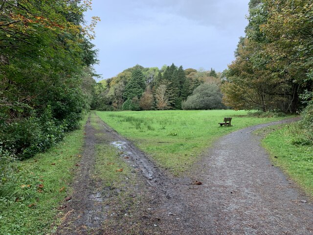
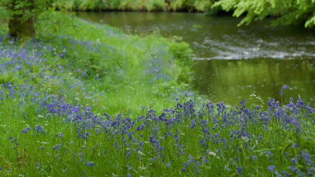
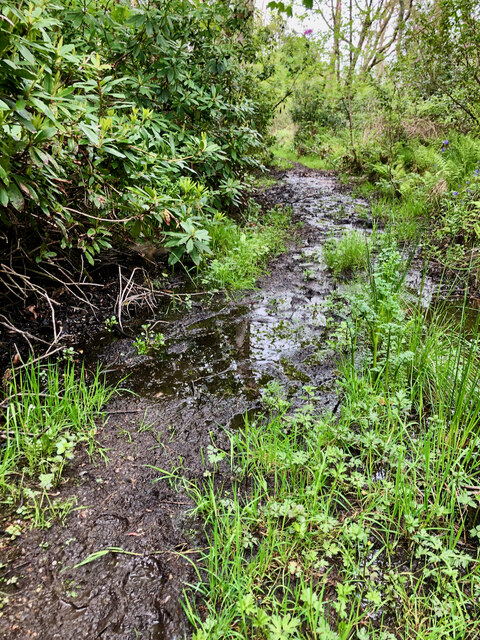
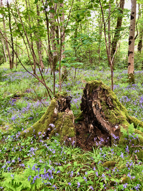
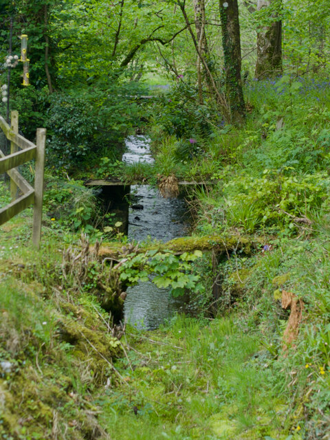
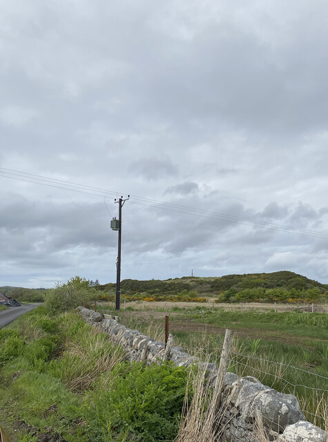
The village is renowned for its stunning natural beauty, with rolling hills, lush greenery, and breathtaking coastal views. It serves as a gateway to the captivating Islay, a famous whisky-producing region. Bridgend's proximity to distilleries makes it a popular destination for whisky enthusiasts, who flock to the area to explore the renowned distilleries dotted across the landscape.

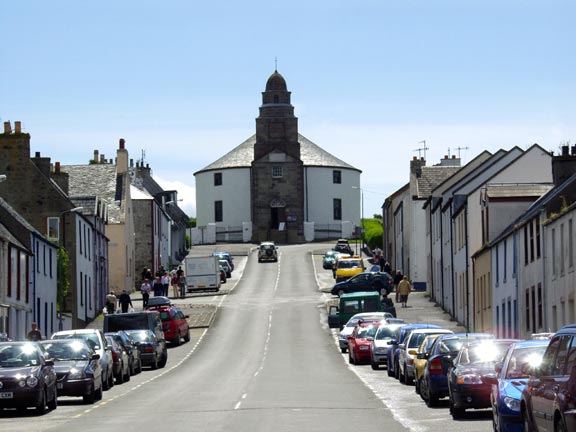
Despite its small size, Bridgend boasts a range of amenities to cater to both locals and visitors. The village is home to a few shops, including a convenience store and a post office, ensuring that residents have easy access to basic necessities. Additionally, Bridgend offers a number of accommodation options, ranging from cozy bed and breakfasts to self-catering cottages, allowing visitors to fully immerse themselves in the local charm.

Outdoor enthusiasts will find plenty to do in Bridgend and its surroundings. The area offers numerous opportunities for hiking, fishing, and birdwatching, allowing visitors to appreciate the region's natural wonders. Additionally, the nearby beaches provide a great spot for relaxation and picnics during the summer months.

Overall, Bridgend in Argyllshire offers a peaceful and idyllic setting, making it a perfect destination for those seeking a break from the bustling city life. Whether it's exploring the whisky trail or enjoying the natural beauty, Bridgend has something to offer for everyone.

If you have any feedback on the listing, please let us know in the comments section below.
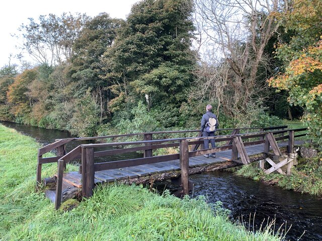
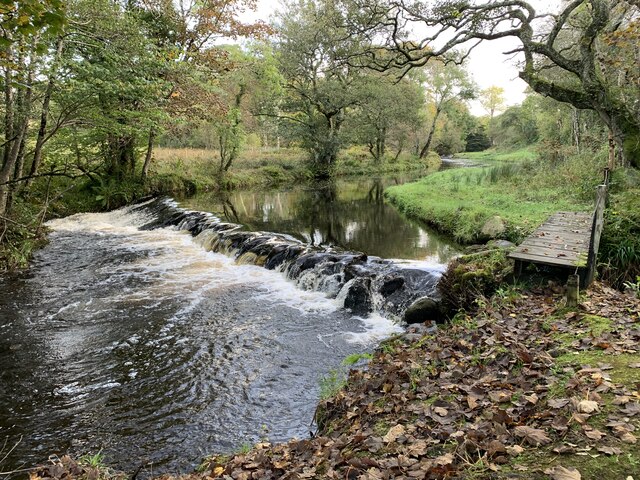
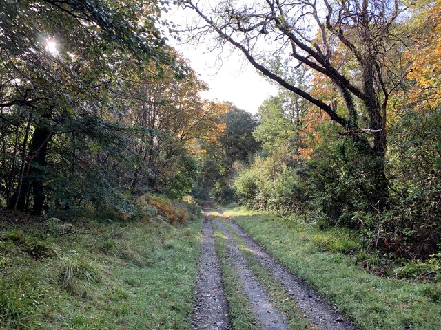
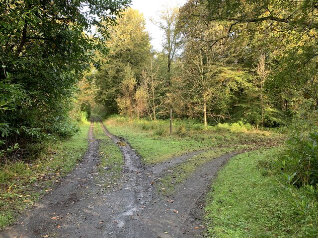
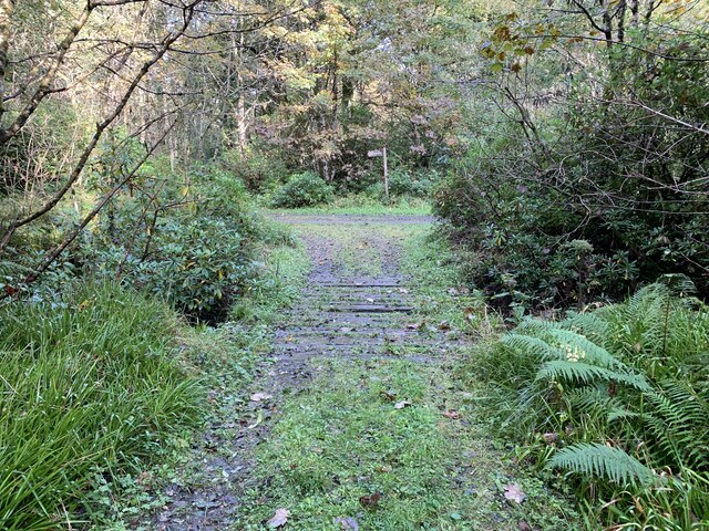
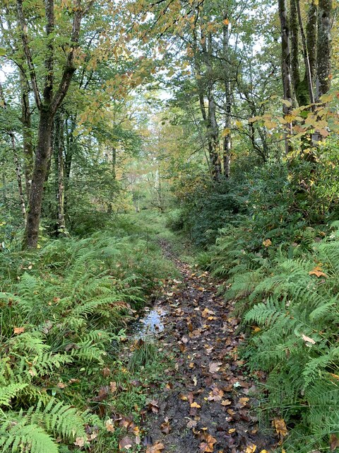
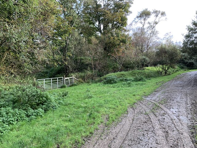
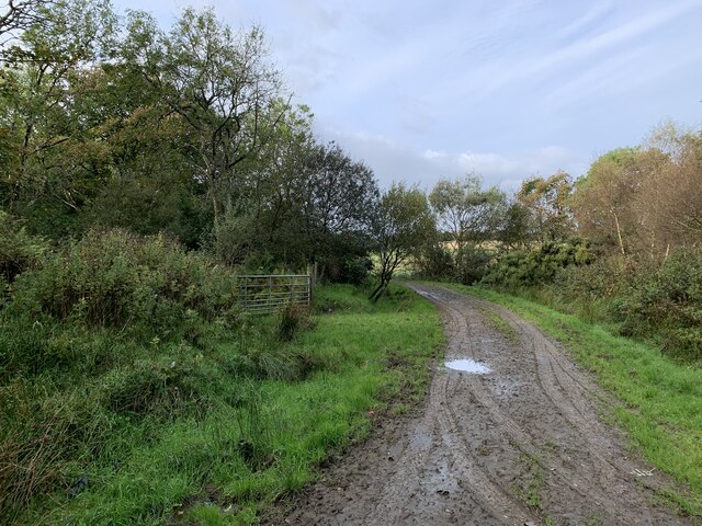
Bridgend Images

Images are sourced within 2km of 55.781671/-6.251496 or Grid Reference NR3362. Thanks to Geograph Open Source API. All images are credited.

Bridge over the River Sorn Near Bridgend.
Bridge over the River Sorn
Near Bridgend.
Weir above Islay Mill Producing the head for the watermill.
Weir above Islay Mill
Producing the head for the watermill.
Gortonloist Plantation A path through the plantation.
Gortonloist Plantation
A path through the plantation.
Path divides In Gortonloist Plantation.
Path divides
In Gortonloist Plantation.
Bridge over the stream In Gortonloist Plantation.
Bridge over the stream
In Gortonloist Plantation.
Path in Towmore Plantation Near Bridgend
Path in Towmore Plantation
Near Bridgend
The edge of Towmore Plantation The footpath crosses the farm track.
The edge of Towmore Plantation
The footpath crosses the farm track.
Towards Claggan Strip A path near Bridgend.
Towards Claggan Strip
A path near Bridgend.
Bridge near Stone Cottage Near Bridgend.
Bridge near Stone Cottage
Near Bridgend.
A triangular clearing in the woods Near Bridgend.
A triangular clearing in the woods
Near Bridgend.
River Sorn Near Bridgend
River Sorn
Near Bridgend
Islay House Category A listed. Earliest parts of the house date from 1677.
Islay House
Category A listed. Earliest parts of the house date from 1677.
Stone Cottage In the plantation woods.
Stone Cottage
In the plantation woods.
Bluebells, Claggan Strip
Claggan Strip footpath — a bit clarty
A stump of two halves
Mill race
Mill race
Views on B8016, Islay
Show me another place!

Bridgend is located at Grid Ref: NR3362 (Lat: 55.781671, Lng: -6.251496)

Unitary Authority: Argyll and Bute

Police Authority: Argyll and West Dunbartonshire

Also known as: Beul an Atha

What 3 Words

///transfers.heat.relegate. Near Bridgend, Argyll & Bute

Related Wikis

Bridgend, Islay

Bridgend (Scottish Gaelic: Beul an Àtha) is a village on the Inner Hebrides island of Islay off the western coast of Scotland at the tip of Loch Indaal...
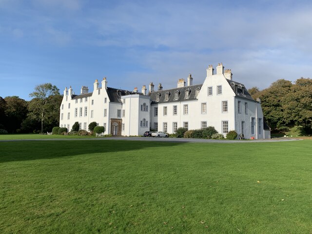
Islay House

Islay House is a Category A listed country house near Bridgend, Islay in the county of Argyll, in western Scotland on the shores of Loch Indaal. ��2�...

Bridgend Flats

Bridgend Flats is an area of mudflats and saltmarsh near the village of Bridgend on the island of Islay off the west coast of Scotland. Covering an area...
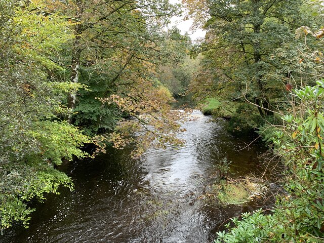
River Sorn

The River Sorn is a small river on the Scottish island of Islay. Draining Loch Finlaggan and having gathered the waters of the Allt Ruadh and the Ballygrant...
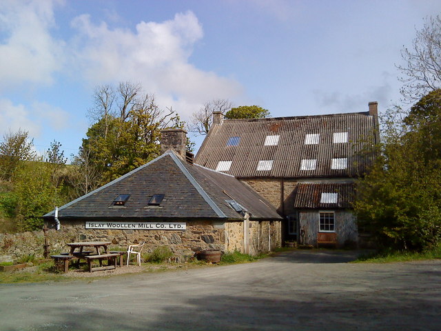
Islay Woollen Mill

Islay Woollen Mill is a Category A listed mill building near the Scottish village of Bridgend, Islay, Argyll and Bute. == History and architecture == The...

Islay Hospital

Islay Hospital is a community hospital in Gortanvogie Road, Bowmore, Scotland. It is managed by NHS Highland. == History == The facility has its origins...

Bowmore

Bowmore (Scottish Gaelic: Bogh Mòr, 'Big Bend') is a small town on the Scottish island of Islay. It serves as administrative capital of the island, and...

RAF Bowmore

Royal Air Force Bowmore or more simply RAF Bowmore is a former Royal Air Force seaplane station located in Bowmore, Argyll and Bute, Scotland. The following...

Nearby Amenities

Located within 500m of 55.781671,-6.251496
Fuel
Lat/Long: 55.7811896/-6.2495611
Post Office
Bridgend Shop
Opening Hours: Mo-Sa 08:00-19:00; Su 10:00-19:00
Shop: convenience
Lat/Long: 55.7813807/-6.2495561
Post Box
Collection Times: Mo-Fr 14:30; Sa 07:15
Description: Directly in front of the shop
Post Box Type: pillar
Ref: PA44 9
Royal Cypher: scottish_crown
Lat/Long: 55.7814061/-6.2494593
Sornbank B&B
Tourism: hotel
Lat/Long: 55.7817529/-6.249758
Parking
Lat/Long: 55.781269/-6.2496458
Telephone
Booth: K6
Covered: booth
Phone: +44 1496 810220
Lat/Long: 55.7811463/-6.2491971
Description: Needle-style obelisk, probably a war memorial; inscription illegible from other side of street
Historic: monument
Lat/Long: 55.7814058/-6.2491775
Bus Stop
Bridgend
Shelter: yes
Lat/Long: 55.7811898/-6.2492534
Bus Stop
Bridgend
Shelter: no
Lat/Long: 55.7813833/-6.2494283
Carole Hairstylist
Shop: hairdresser
Lat/Long: 55.7812999/-6.2498868
Islay Ales
Addr Housename: The Brewery
Addr Postcode: PA44 7NZ
Addr Street: Islay House Square
Craft: brewery
Email: info@islayales.com
Name Gd: Leann an Ìle
Operator: The Islay Boys Ltd
Phone: +44 1496 810014
Product: beer
Shop: alcohol
Website: https://www.islayales.co.uk/
Lat/Long: 55.7845648/-6.2511093
Bridgend
Name Gd: Beul an Àtha
Place: hamlet
Wikidata: Q913729
Wikipedia: en:Bridgend, Islay
Lat/Long: 55.7812847/-6.2494614
Parking
Lat/Long: 55.7848371/-6.2509996
Islay Studios Gallery
Tourism: artwork
Lat/Long: 55.7847217/-6.2508493
Elizabeth Sykes Batik
Shop: gift
Lat/Long: 55.7849873/-6.251708
Islay House Gardens
Shop: greengrocer
Lat/Long: 55.7842852/-6.2518118
MacKinnon's Marmalade
Shop: gift
Lat/Long: 55.7844994/-6.2512444
White Room
Shop: gift
Lat/Long: 55.7846508/-6.2509781
Car Wash
Lat/Long: 55.78118/-6.2497021
Islay Home Farm
Heritage: yes
Place: farm
Wikidata: Q1461021
Lat/Long: 55.7849324/-6.2512663
FIXME: exact position
Heritage: yes
Historic: stone
Wikidata: Q56667980
Lat/Long: 55.7822417/-6.2514541
Power: pole
Lat/Long: 55.7854458/-6.2517892
Material: wood
Power: pole
Lat/Long: 55.7807208/-6.2484992
Power: pole
Lat/Long: 55.7800917/-6.2456935
Power: pole
Lat/Long: 55.779876/-6.2446782
Power: pole
Lat/Long: 55.7803077/-6.2466568
Power: pole
Lat/Long: 55.7804895/-6.2474675
The data included in this document is from www.openstreetmap.org. The data is made available under ODbL.

Have you been to Bridgend?

Leave your review of Bridgend below (or comments, questions and feedback).