Loch Indaal
Sea, Estuary, Creek in Argyllshire
Scotland
Loch Indaal
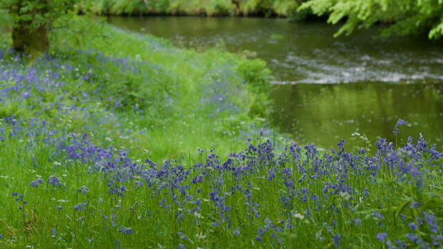
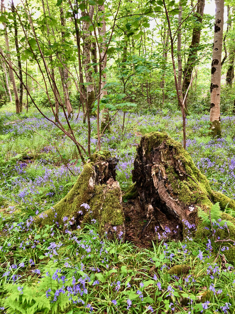
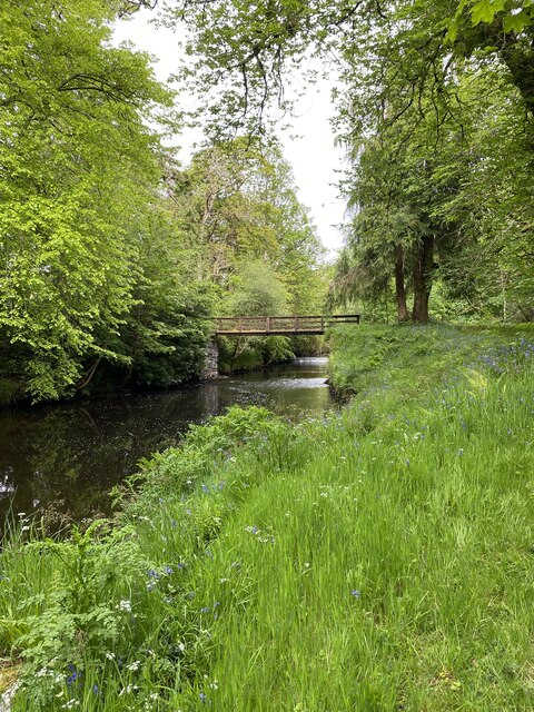
Loch Indaal is a picturesque sea loch located in Argyllshire, Scotland. It stretches approximately 12 miles from the town of Bowmore to the northern tip of the Rhinns of Islay peninsula. This natural body of water is known for its stunning beauty and diverse ecosystem.
As a sea loch, Loch Indaal is directly connected to the Atlantic Ocean, making it subject to tidal movements. The loch's calm, sheltered waters provide a haven for various marine life, including seals, dolphins, and a wide variety of fish species. The surrounding coastline is adorned with rocky cliffs and sandy beaches, offering breathtaking views for visitors.
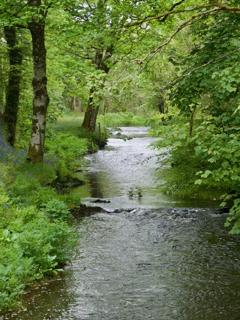
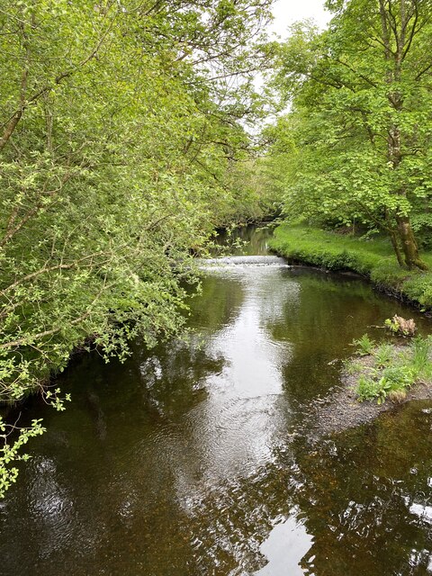
At the mouth of the loch, the estuary forms, where freshwater from the River Laggan merges with the saltwater from the ocean. This convergence creates a unique habitat for both freshwater and saltwater species, attracting numerous bird species to the area. Birdwatchers can often spot herons, oystercatchers, and seagulls among the estuary's reeds and mudflats.
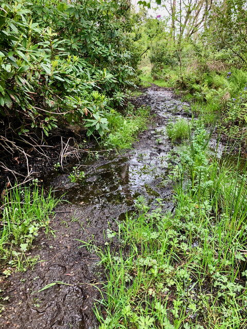
Several small creeks and streams flow into Loch Indaal, adding to its natural charm. These waterways provide opportunities for fishing and boating, allowing visitors to explore the loch's hidden corners and experience its tranquil atmosphere.
The surrounding area offers a range of activities for outdoor enthusiasts. From hiking along the loch's shores to enjoying water sports like kayaking and sailing, Loch Indaal provides a haven for nature lovers seeking adventure or simply a peaceful retreat. With its rich biodiversity and stunning landscapes, Loch Indaal is a true gem of Argyllshire.
If you have any feedback on the listing, please let us know in the comments section below.
Loch Indaal Images
Images are sourced within 2km of 55.778108/-6.2550499 or Grid Reference NR3362. Thanks to Geograph Open Source API. All images are credited.


Loch Indaal is located at Grid Ref: NR3362 (Lat: 55.778108, Lng: -6.2550499)
Unitary Authority: Argyll and Bute
Police Authority: Argyll and West Dunbartonshire
What 3 Words
///window.reveal.stung. Near Bridgend, Argyll & Bute
Nearby Locations
Related Wikis

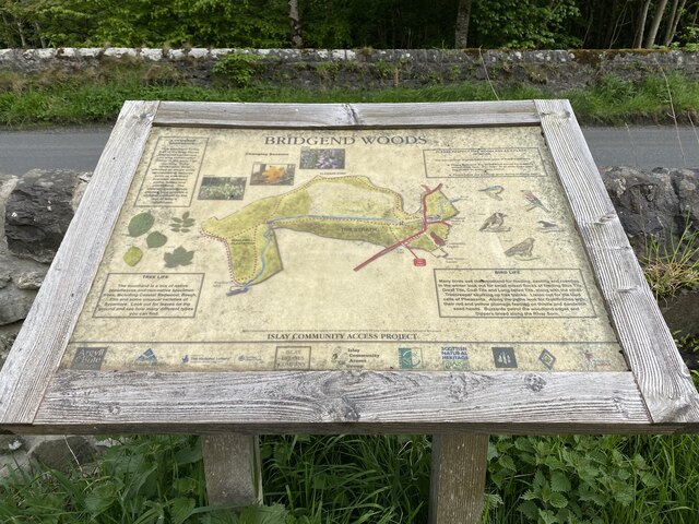
Bridgend, Islay
Bridgend (Scottish Gaelic: Beul an Àtha) is a village on the Inner Hebrides island of Islay off the western coast of Scotland at the tip of Loch Indaal...

Bridgend Flats
Bridgend Flats is an area of mudflats and saltmarsh near the village of Bridgend on the island of Islay off the west coast of Scotland. Covering an area...

Islay House
Islay House is a Category A listed country house near Bridgend, Islay in the county of Argyll, in western Scotland on the shores of Loch Indaal. ��2�...

River Sorn
The River Sorn is a small river on the Scottish island of Islay. Draining Loch Finlaggan and having gathered the waters of the Allt Ruadh and the Ballygrant...
Nearby Amenities
Located within 500m of 55.778108,-6.2550499Have you been to Loch Indaal?
Leave your review of Loch Indaal below (or comments, questions and feedback).