Coedlan-y-Jiwbili

Wood, Forest in Cardiganshire

Wales

Coedlan-y-Jiwbili

The Tywi Forest The Tywi Forest above Llyn Brianne reservoir.
The Tywi Forest Credit: Philip Halling

Coedlan-y-Jiwbili is a picturesque woodland located in Cardiganshire, Wales. Spanning over a vast area, it is renowned for its natural beauty and rich biodiversity. The name "Coedlan-y-Jiwbili" translates to "Wood of the Jubilee" in English, referencing its establishment during a jubilee celebration.

The woodland is characterized by its dense canopy of trees, predominantly consisting of native species such as oak, beech, and birch. These towering trees provide a haven for a diverse range of flora and fauna, making it a haven for nature enthusiasts and wildlife lovers.

Within Coedlan-y-Jiwbili, there are several walking trails that meander through the forest, offering visitors the chance to explore its enchanting surroundings. The paths are well-maintained and accessible, making it suitable for people of all ages and abilities.

The woodland is also home to a variety of wildlife, including birds, mammals, and insects. Birdwatchers can spot species such as red kites, woodpeckers, and jays, while small mammals like squirrels and rabbits can be seen darting through the undergrowth.

Coedlan-y-Jiwbili is not only a haven for wildlife but also a place of tranquility and relaxation for visitors. The forest provides a peaceful escape from the hustle and bustle of daily life, with the soothing sounds of rustling leaves and birdsong creating a serene atmosphere.

Overall, Coedlan-y-Jiwbili is a magnificent woodland that offers a captivating blend of natural beauty, biodiversity, and tranquility. It serves as a valuable asset to the local community and a cherished destination for nature enthusiasts and those seeking solace in the great outdoors.

If you have any feedback on the listing, please let us know in the comments section below.

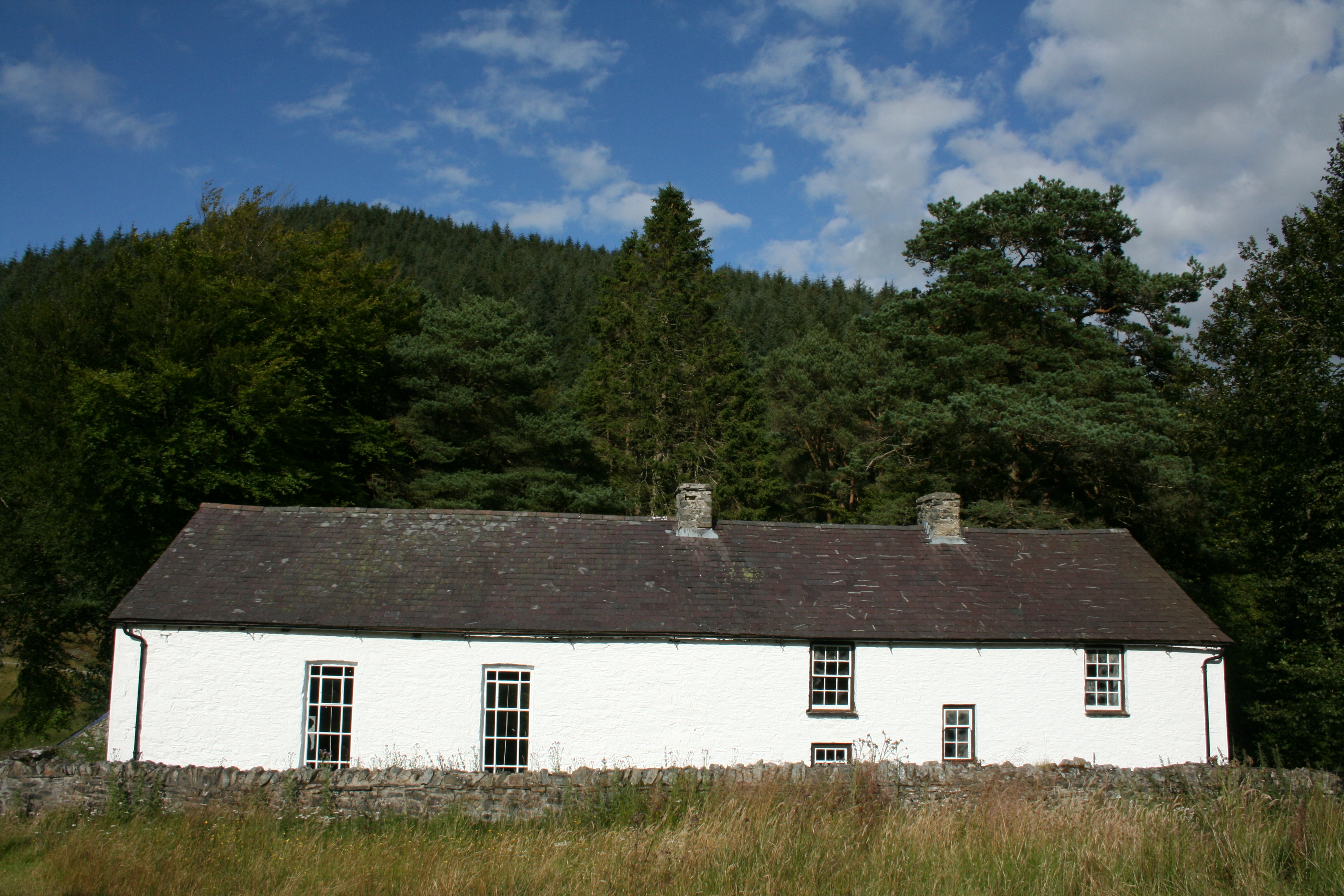
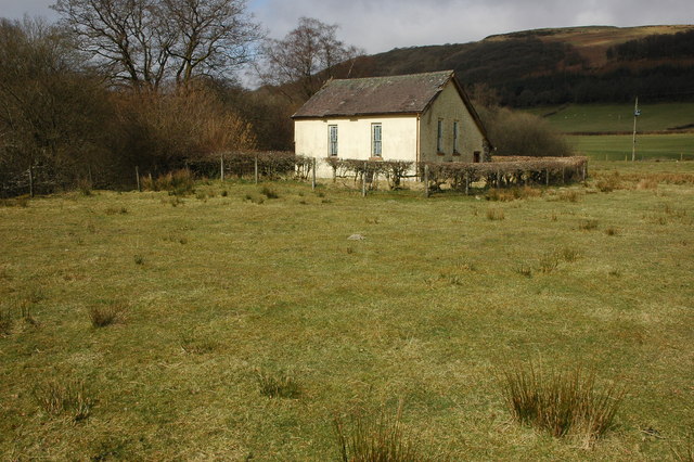
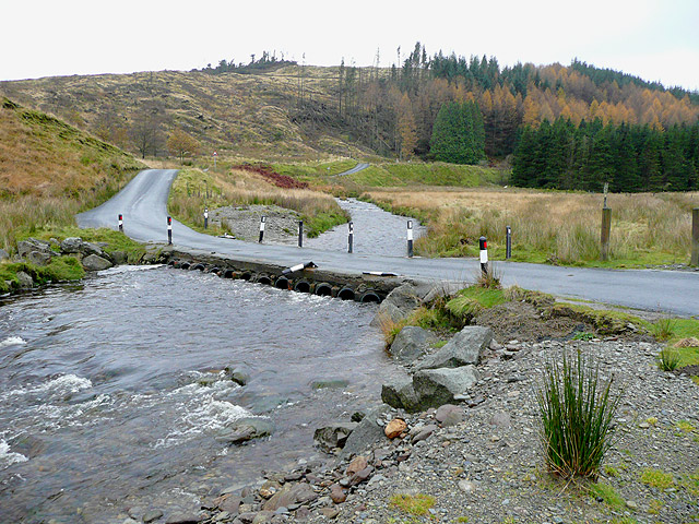
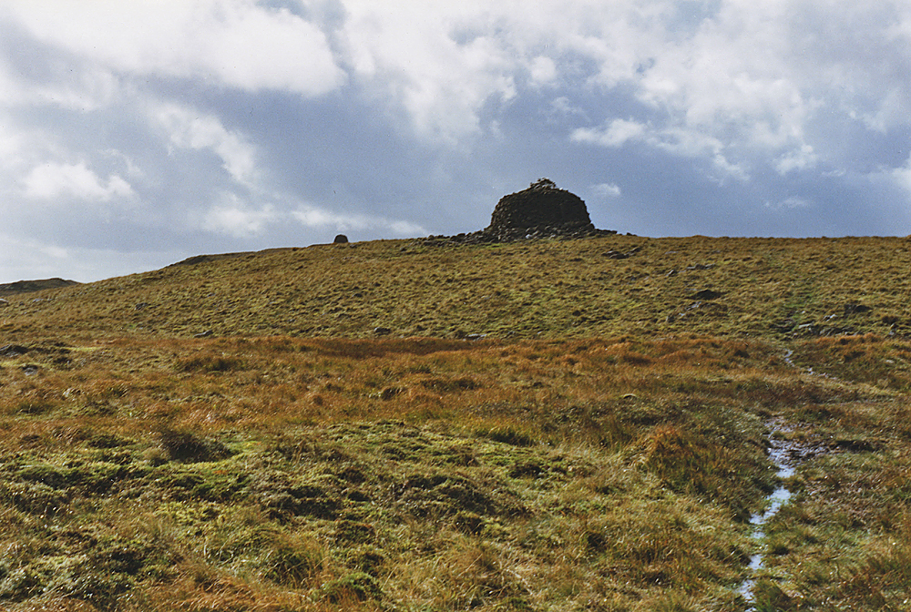
Coedlan-y-Jiwbili Images

Images are sourced within 2km of 52.164213/-3.7759471 or Grid Reference SN7853. Thanks to Geograph Open Source API. All images are credited.

The Tywi Forest The Tywi Forest above Llyn Brianne reservoir.
The Tywi Forest
The Tywi Forest above Llyn Brianne reservoir.
Low water levels As the water recedes in the upper levels of Llyn Briane after a relatively dry summer, an old foot bridge over the River Tywi, which is normally submerged is revealed once more.
Low water levels
As the water recedes in the upper levels of Llyn Briane after a relatively dry summer, an old foot bridge over the River Tywi, which is normally submerged is revealed once more.
Derelict footbridge revealed by low waters When the waters in the upper reaches of Llyn Briane reservoir are low, a small footbridge is revealed that once crossed the river Towy.   Once the foot access route to a nearby farm (possibly Fanog Farm, also submerged by the reservoir).

The bridge also marks the county boundary between Carmarthenshire and Powys.
Derelict footbridge revealed by low waters
When the waters in the upper reaches of Llyn Briane reservoir are low, a small footbridge is revealed that once crossed the river Towy. Once the foot access route to a nearby farm (possibly Fanog Farm, also submerged by the reservoir). The bridge also marks the county boundary between Carmarthenshire and Powys.
Submerged bridge revealed once again Almost always now submerged in the upper reaches of the Llyn Brianne reservoir, this small footbridge and the underlying river bed's path have once again been revealed by very low drought levels of the reservoir.   Note that the iron hand rails are now in an advanced state of rust, but the concrete floor and pillars are still in good condition.
Submerged bridge revealed once again
Almost always now submerged in the upper reaches of the Llyn Brianne reservoir, this small footbridge and the underlying river bed's path have once again been revealed by very low drought levels of the reservoir. Note that the iron hand rails are now in an advanced state of rust, but the concrete floor and pillars are still in good condition.
Bridge and river structure revealed by drought Taken just over a year after <a href="https://www.geograph.org.uk/photo/7088196">SN8052 : Derelict footbridge revealed by low waters</a>, you can see how much the water level has dropped even further here in the upper reaches of the Llyn Brianne reservoir - indeed, back then the backwaters of the reservoir reached here and the bridge wasn't accessible by foot. However, it's now temporarily no longer a reservoir here with the original river being revealed for the first time in many years along with the small foot bridge seen in <a href="https://www.geograph.org.uk/photo/7293649">SN8052 : Submerged bridge revealed once again</a>, which can now be visited and crossed for the first time since 1984.
Bridge and river structure revealed by drought
Taken just over a year after SN8052 : Derelict footbridge revealed by low waters, you can see how much the water level has dropped even further here in the upper reaches of the Llyn Brianne reservoir - indeed, back then the backwaters of the reservoir reached here and the bridge wasn't accessible by foot. However, it's now temporarily no longer a reservoir here with the original river being revealed for the first time in many years along with the small foot bridge seen in SN8052 : Submerged bridge revealed once again, which can now be visited and crossed for the first time since 1984.
A small waterfall now visible for the first time in decades Taken off a small foot bridge that was submerged when Llyn Brianne reservoir was built in the early '70s - the river bed of the river Towy here has rarely been observed for many decades now (last seen in 1984) but this year's drought conditions have changed that - and for a small time period at least, this small waterfall and upper river's eroded rock structures can once more be observed (until rain once more submerges this tranquil water bed under at least 5 metres of water, as can be seen by the higher banks on each side).
A small waterfall now visible for the first time in decades
Taken off a small foot bridge that was submerged when Llyn Brianne reservoir was built in the early '70s - the river bed of the river Towy here has rarely been observed for many decades now (last seen in 1984) but this year's drought conditions have changed that - and for a small time period at least, this small waterfall and upper river's eroded rock structures can once more be observed (until rain once more submerges this tranquil water bed under at least 5 metres of water, as can be seen by the higher banks on each side).
Riverbed off forgotten bridge The bridge was submerged in the early '70s when the Llyn Brianne reservoir was created.

Now in 2022 you can see the course of the original Towy river and the sad state of the bridge's rusted out handrails (after about 4 decades of being under water)!
Riverbed off forgotten bridge
The bridge was submerged in the early '70s when the Llyn Brianne reservoir was created. Now in 2022 you can see the course of the original Towy river and the sad state of the bridge's rusted out handrails (after about 4 decades of being under water)!
Old bridge over Afon Tywi The bridge is usually submerged by the reservoir but is here exposed during the drought of 2022.
Old bridge over Afon Tywi
The bridge is usually submerged by the reservoir but is here exposed during the drought of 2022.
Much needed rain approaching Llyn Brianne
Esgair Ganol and Esgair Gors View up and across the upper Tywi valley.
Esgair Ganol and Esgair Gors
View up and across the upper Tywi valley.
Cwm Camddwr Low evening sun lighting Cwm Camddwr.
Cwm Camddwr
Low evening sun lighting Cwm Camddwr.
Cwm Camddwr Mountain road in Cwm Camddwr.
Cwm Camddwr
Mountain road in Cwm Camddwr.
View into Cwm Camddwr View into Cwm Camddwr above Llyn Brianne reservoir.
View into Cwm Camddwr
View into Cwm Camddwr above Llyn Brianne reservoir.
Cwm Camddwr Cwm Camddwr above Llyn Brianne reservoir.
Cwm Camddwr
Cwm Camddwr above Llyn Brianne reservoir.
View across Cwm Camddwr
Cwm Camddwr Cerddwyr yn dilyn heol fach wledig yng Nghwm Camddwr.

Walkers following a minor country road in Cwm Camddwr (trans. winding river valley).
Cwm Camddwr
Cerddwyr yn dilyn heol fach wledig yng Nghwm Camddwr. Walkers following a minor country road in Cwm Camddwr (trans. winding river valley).
Meinihirion Pen Pontbren / Pen Pontbren Standing Stones Meinihirion wedi eu lleoli ar lethr uwhben Afon Camddwr.  Mae 'na amheuon a yw'r un ar y dde yn garreg naturiol neu'n faenhir go iawn.  

Standing stones on a slope above Afon Camddwr (trans. winding river). There are doubts whether the one on  the right is a natural boulder or a genuine standing stone.
Meinihirion Pen Pontbren / Pen Pontbren Standing Stones
Meinihirion wedi eu lleoli ar lethr uwhben Afon Camddwr. Mae 'na amheuon a yw'r un ar y dde yn garreg naturiol neu'n faenhir go iawn. Standing stones on a slope above Afon Camddwr (trans. winding river). There are doubts whether the one on the right is a natural boulder or a genuine standing stone.
Llwybr ceffyl Nant Llwyd / Nant Llwyd bridleway Llwybr ceffyl yn mynd i gyfeiriad Capel Soar y Mynydd.

A bridleway heading towards Capel Soar y Mynydd (trans. Soar Chapel of the mountain).
Llwybr ceffyl Nant Llwyd / Nant Llwyd bridleway
Llwybr ceffyl yn mynd i gyfeiriad Capel Soar y Mynydd. A bridleway heading towards Capel Soar y Mynydd (trans. Soar Chapel of the mountain).
Show me another place!

Coedlan-y-Jiwbili is located at Grid Ref: SN7853 (Lat: 52.164213, Lng: -3.7759471)

Unitary Authority: Ceredigion

Police Authority: Dyfed Powys

Also known as: Jubilee Plantation

What 3 Words

///sparks.rigs.parkland. Near Abergwesyn, Powys

Related Wikis

Soar y mynydd

Soar-y-mynydd or Soar y mynydd is a Calvinist Methodist chapel near the eastern extremity of the large parish of Llanddewi Brefi, Ceredigion. It is claimed...

Camddwr

For the tributary of the River Wye, see Camddwr, Wye and for the tributary of the River Teifi, see Camddwr, Teifi.The Camddwr is a significant right-bank...

Llyn Brianne

Llyn Brianne is a man-made lake or reservoir in the headwaters of the River Towy in Wales. == Construction == The reservoir was constructed by Wimpey Construction...

Nant Irfon National Nature Reserve

Nant Irfon National Nature Reserve is a national nature reserve located high in the hills above the Afon Irfon valley near the village of Abergwesyn in...

Vicarage Meadows

Vicarage Meadows is a Site of Special Scientific Interest near Abergwesyn, Powys, Wales. The 3.6 hectares (8.9 acres) site, located close to the Nant Irfon...

Abergwesyn

Abergwesyn is a village in the Welsh county of Powys, in mid-Wales, at the start of the Abergwesyn valley and at the confluence of the Afon Irfon and the...

Afon Irfon

Afon Irfon (the River Irfon) is a river in Powys, Wales. It flows from the upper slopes of Bryn Garw in the Cambrian Mountains, through the Abergwesyn...

Drygarn Fawr

Drygarn Fawr is a mountain in the county of Powys, Wales. It is one of the highest summits in Mid Wales at 645 metres (2,116 ft) above sea level. It lies...

Nearby Amenities

Located within 500m of 52.164213,-3.7759471
Parking
Lat/Long: 52.164808/-3.7782578
Place Of Worship
Soar-Y-Mynydd
Religion: christian
Wikidata: Q7549849
Lat/Long: 52.1643164/-3.7781783
Barrier: cattle_grid
Lat/Long: 52.1640966/-3.778494
The data included in this document is from www.openstreetmap.org. The data is made available under ODbL.

Have you been to Coedlan-y-Jiwbili?

Leave your review of Coedlan-y-Jiwbili below (or comments, questions and feedback).