Gorsedd Stones Wood
Wood, Forest in Anglesey
Wales
Gorsedd Stones Wood
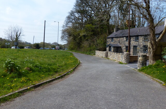
Gorsedd Stones Wood is a picturesque woodland located on the Isle of Anglesey, off the north-west coast of Wales. Covering an area of approximately 50 acres, the wood is known for its natural beauty and historical significance.
The wood is home to a variety of tree species, including oak, ash, beech, and birch, which create a diverse and vibrant ecosystem. The dense canopy provides shelter for a range of wildlife, including birds, squirrels, and deer. Walking through the wood, visitors can enjoy the peaceful atmosphere and observe the flora and fauna that thrive in this natural habitat.
One notable feature of Gorsedd Stones Wood is the presence of ancient standing stones. These stones are believed to date back to the Bronze Age, around 4,000 to 2,000 BC, and are thought to have served as ceremonial or religious markers. The stones are scattered throughout the wood, adding an air of mystery and intrigue to the surroundings.
The wood is also a popular destination for outdoor activities such as walking, picnicking, and nature photography. There are well-maintained footpaths that meander through the wood, allowing visitors to explore its beauty at their own pace. The combination of ancient history and natural splendor makes Gorsedd Stones Wood an enchanting destination for nature enthusiasts and history buffs alike.
Overall, Gorsedd Stones Wood offers a unique blend of natural beauty and historical significance, making it a must-visit location for anyone seeking to immerse themselves in the wonders of Anglesey's landscape.
If you have any feedback on the listing, please let us know in the comments section below.
Gorsedd Stones Wood Images
Images are sourced within 2km of 53.221099/-4.1654664 or Grid Reference SH5571. Thanks to Geograph Open Source API. All images are credited.


Gorsedd Stones Wood is located at Grid Ref: SH5571 (Lat: 53.221099, Lng: -4.1654664)
Unitary Authority: Isle of Anglesey
Police Authority: North Wales
Also known as: Coed Cerrig Gorsedd
What 3 Words
///grief.perfectly.suckle. Near Menai Bridge, Isle of Anglesey
Nearby Locations
Related Wikis
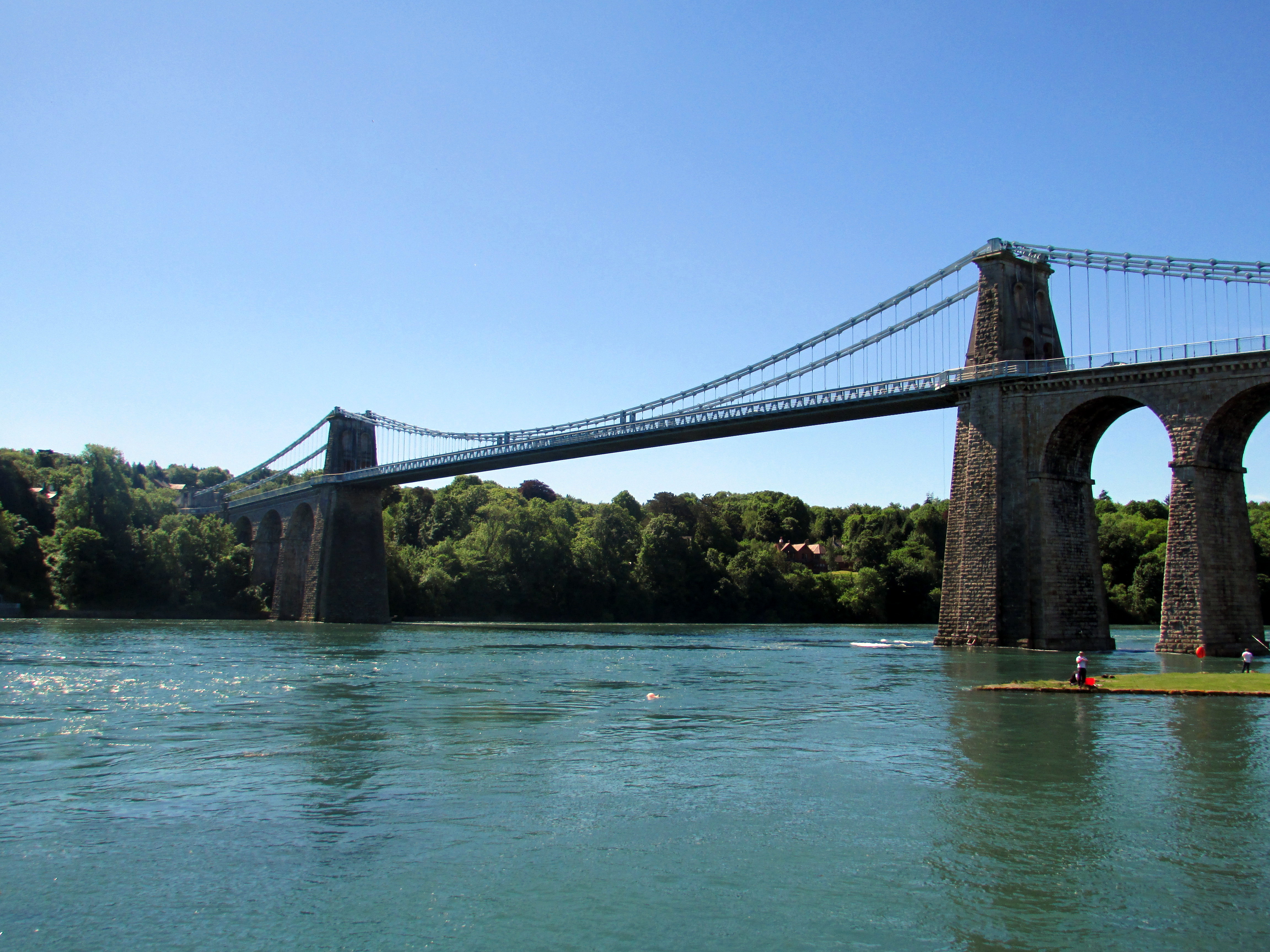
Menai Suspension Bridge
The Menai Suspension Bridge (Welsh: Pont y Borth or Pont Grog y Borth) is a suspension bridge spanning the Menai Strait between the island of Anglesey...

Carreg yr Halen
Carreg yr Halen is a very small tidal island in the Menai Strait. Its centre lies approximately 20 metres offshore from the Belgian Promenade in Menai...
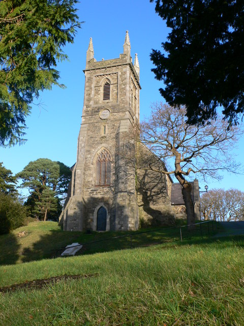
St Mary's Church, Menai Bridge
St Mary's Church is a Grade II listed church in Menai Bridge, Anglesey serving the parish of Bro Tysilio, in the Diocese of St Davids of the Church in...
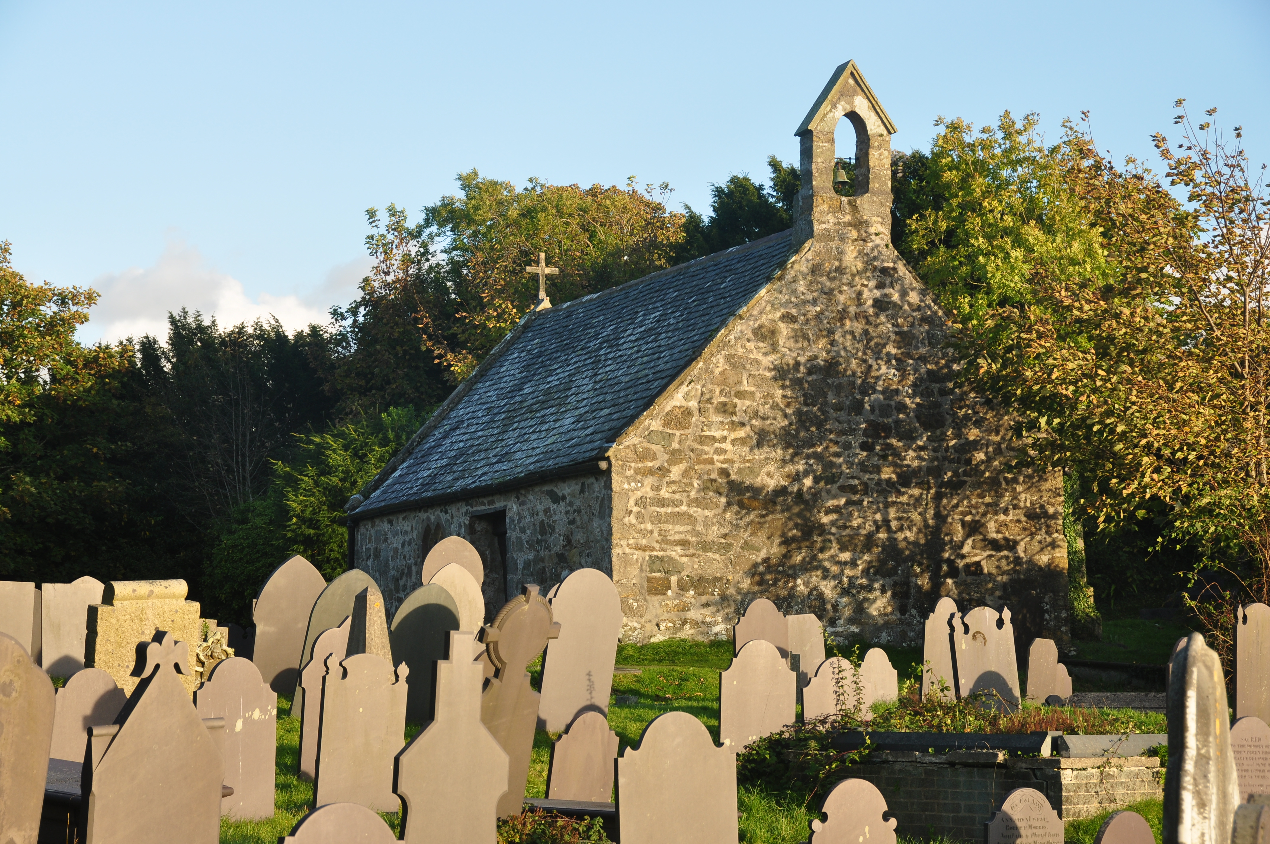
St Tysilio's Church, Menai Bridge
St Tysilio's Church is a medieval church in the village of Menai Bridge, Anglesey, Wales. The current building dates from the early 15th century and underwent...
Nearby Amenities
Located within 500m of 53.221099,-4.1654664Have you been to Gorsedd Stones Wood?
Leave your review of Gorsedd Stones Wood below (or comments, questions and feedback).