Coed Marquis
Wood, Forest in Anglesey
Wales
Coed Marquis
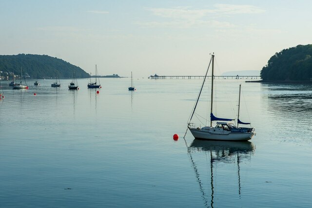
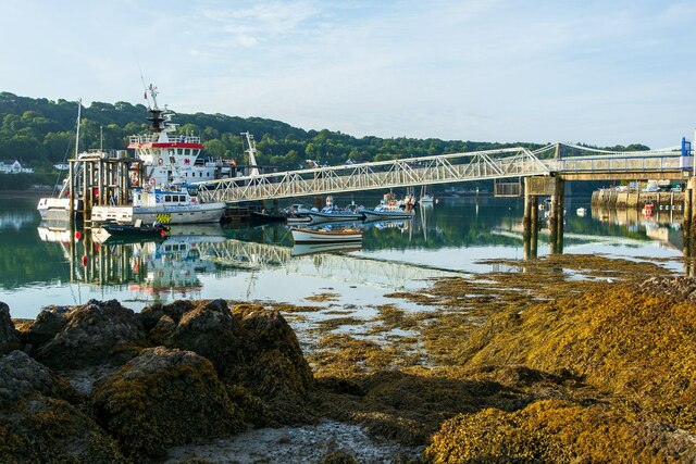
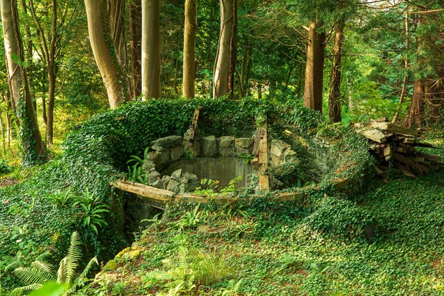
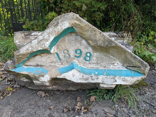
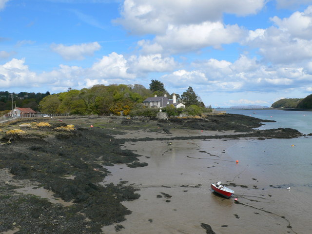
Coed Marquis, located in Anglesey, is a beautiful and expansive wood or forest that spans an area of approximately 140 hectares. Situated on the western side of the island, it is a popular destination for nature enthusiasts, walkers, and those seeking a peaceful retreat.
The woodland is predominantly made up of broadleaf trees such as oak, birch, and beech, creating a rich and diverse ecosystem. The forest floor is adorned with a carpet of bluebells in the spring, creating a stunning display of color and fragrance. Coed Marquis is also home to a variety of wildlife, including red squirrels, badgers, and a wide range of bird species, making it a haven for birdwatchers and wildlife photographers.
The woodland is crisscrossed by a network of well-maintained footpaths, allowing visitors to explore the area and soak in the tranquil surroundings. There are also several picnic spots and benches strategically placed throughout the forest, providing the perfect opportunity to relax and enjoy a picnic amidst the natural beauty.
Coed Marquis is managed by Natural Resources Wales, who work to protect and enhance the woodland for future generations. The forest is regularly maintained, with careful consideration given to conservation and sustainability. Visitors are encouraged to follow the designated paths and respect the flora and fauna to ensure the long-term preservation of this stunning natural resource.
With its breathtaking scenery, diverse wildlife, and peaceful ambiance, Coed Marquis is a must-visit destination for nature lovers and those seeking a connection with the great outdoors.
If you have any feedback on the listing, please let us know in the comments section below.
Coed Marquis Images
Images are sourced within 2km of 53.224738/-4.1651108 or Grid Reference SH5571. Thanks to Geograph Open Source API. All images are credited.

Coed Marquis is located at Grid Ref: SH5571 (Lat: 53.224738, Lng: -4.1651108)
Unitary Authority: Isle of Anglesey
Police Authority: North Wales
What 3 Words
///compiler.galaxy.latitudes. Near Menai Bridge, Isle of Anglesey
Nearby Locations
Related Wikis
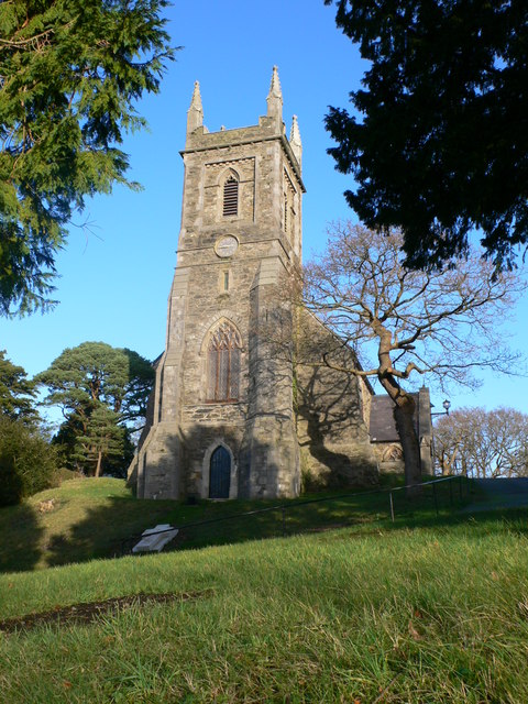
St Mary's Church, Menai Bridge
St Mary's Church is a Grade II listed church in Menai Bridge, Anglesey serving the parish of Bro Tysilio, in the Diocese of St Davids of the Church in...

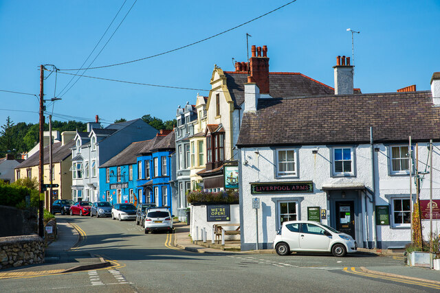
Victoria Hotel, Menai Bridge
The Victoria Hotel is a Grade II listed building in Menai Bridge, Anglesey. == References ==
Hawthorn House, Menai Bridge
Hawthorn House is a Grade II listed building located on the main street in the town of Menai Bridge, on the Isle of Anglesey. == References ==
Carreg yr Halen
Carreg yr Halen is a very small tidal island in the Menai Strait. Its centre lies approximately 20 metres offshore from the Belgian Promenade in Menai...

Church Island (Anglesey)
Church Island, also known as Llandysilio Island, (Welsh: Ynys Tysilio) is a small island in the Menai Strait on the shores of Anglesey to which it is attached...
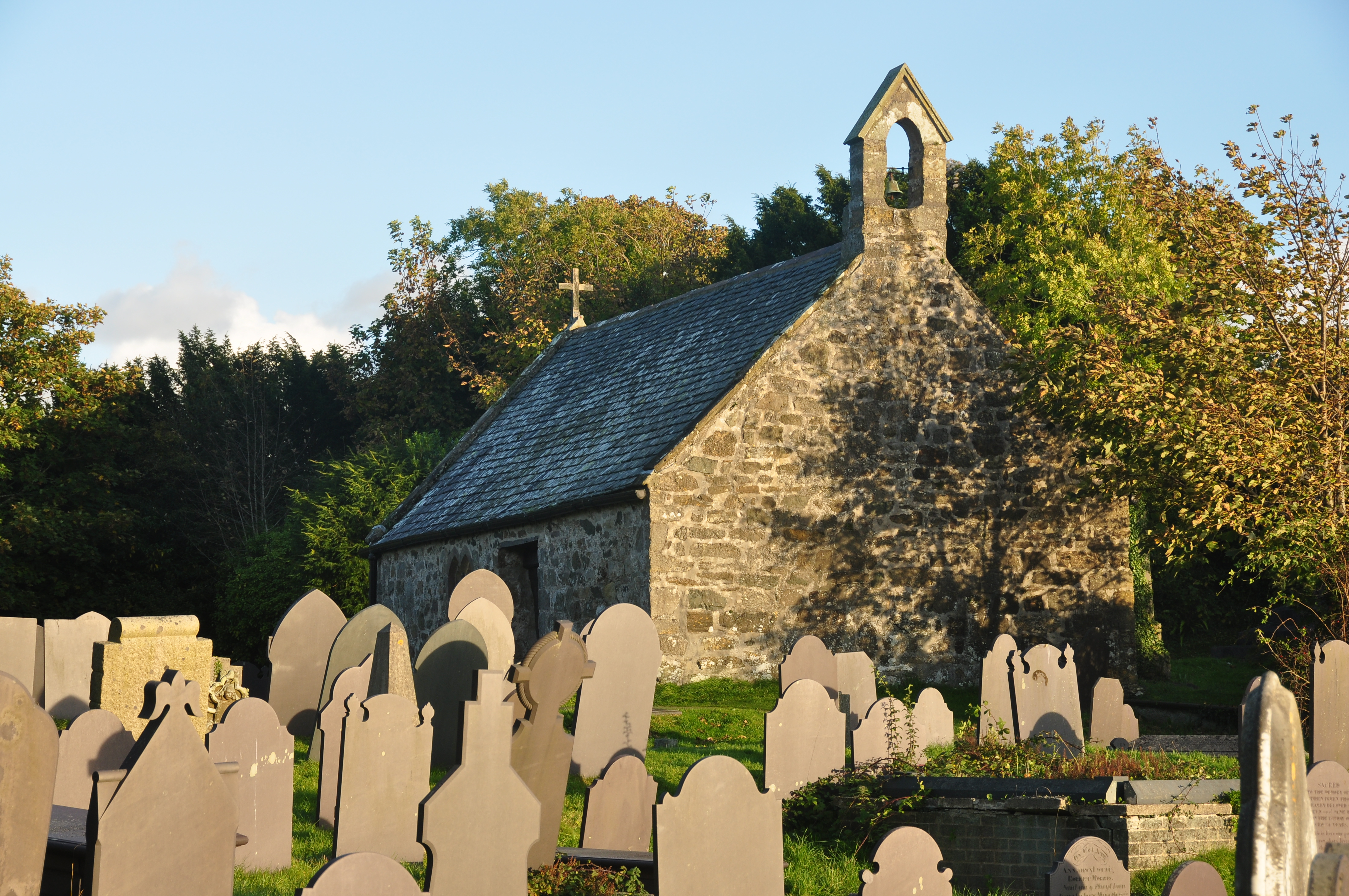
St Tysilio's Church, Menai Bridge
St Tysilio's Church is a medieval church in the village of Menai Bridge, Anglesey, Wales. The current building dates from the early 15th century and underwent...
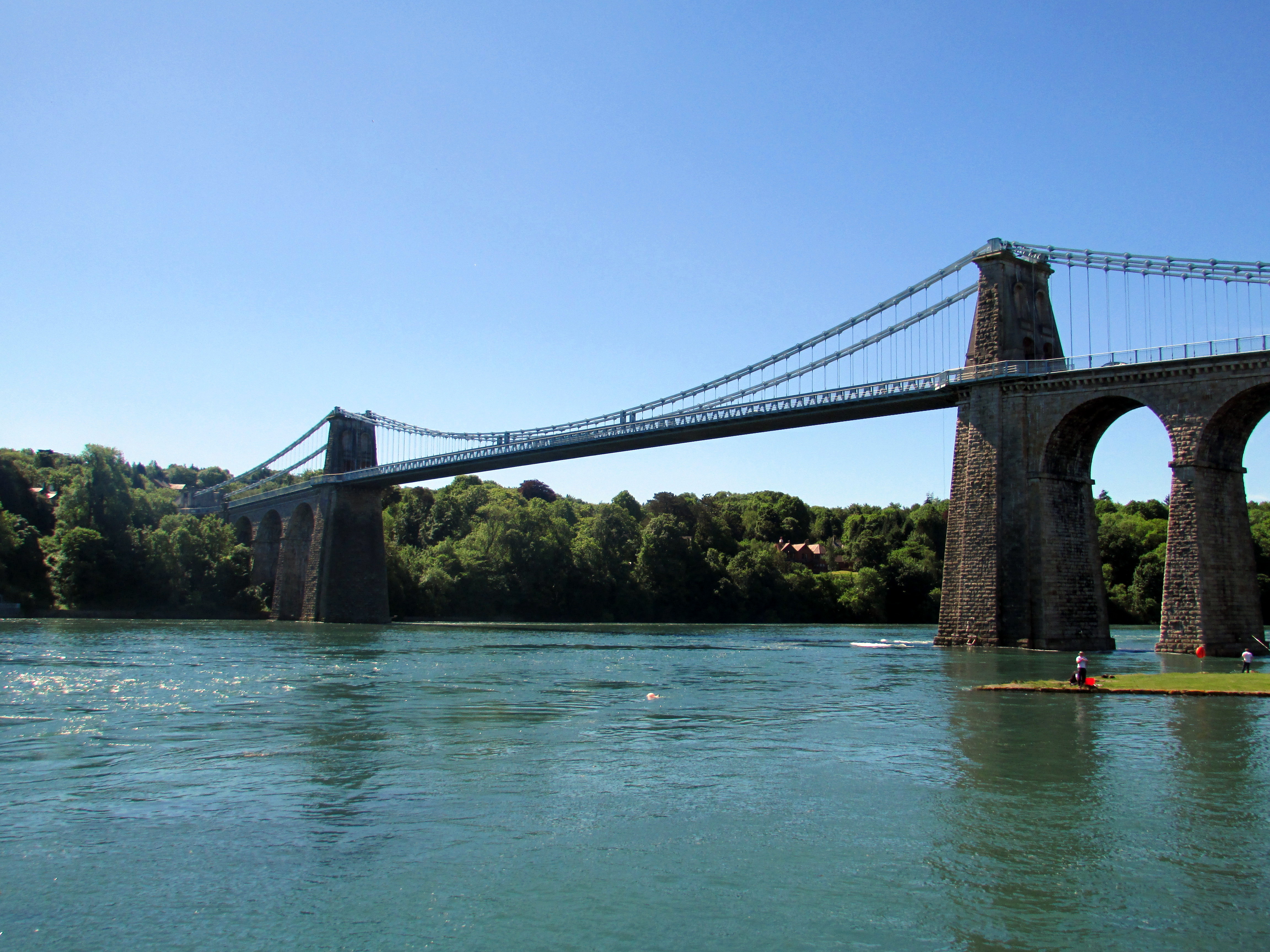
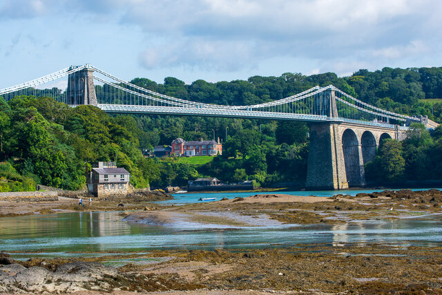
Menai Suspension Bridge
The Menai Suspension Bridge (Welsh: Pont y Borth or Pont Grog y Borth) is a suspension bridge spanning the Menai Strait between the island of Anglesey...
Ynys Faelog
Ynys Faelog is a small tidal island in the Menai Strait between Gwynedd and the Isle of Anglesey, Wales, near the town of Menai Bridge. On average it measures...
Related Videos

Walking The STUNNING Llŷn Peninsula - Wales Coast Path 14/50
Day 14/50 Walking the @walescoastpath -Llwybr Arfordir Cymru Supported by Cicerone @ciceronePress ...
Walking The Wales Coast Path 9: Bangor to Beaumaris
The ninth part of my walk along the coastline of Wales. We continue from near the entrance to Bangor Pier and make our way ...

Exploring the Enchanting Treborth Botanic Garden: A Nature Walking Tour in Wales. Walking Tour.
Experience the serene beauty of Treborth Botanic Garden in Wales as we take you on a virtual stroll through its enchanting ...

Walking The Wales Coast Path 8: Llanfairfechan to Bangor
Part 8 of our walk along the Wales Coast path. We begin our hike at Llanfairfechan Promenade where we finished up in part 7 and ...
Nearby Amenities
Located within 500m of 53.224738,-4.1651108Have you been to Coed Marquis?
Leave your review of Coed Marquis below (or comments, questions and feedback).