Allt y Frân
Wood, Forest in Cardiganshire
Wales
Allt y Frân

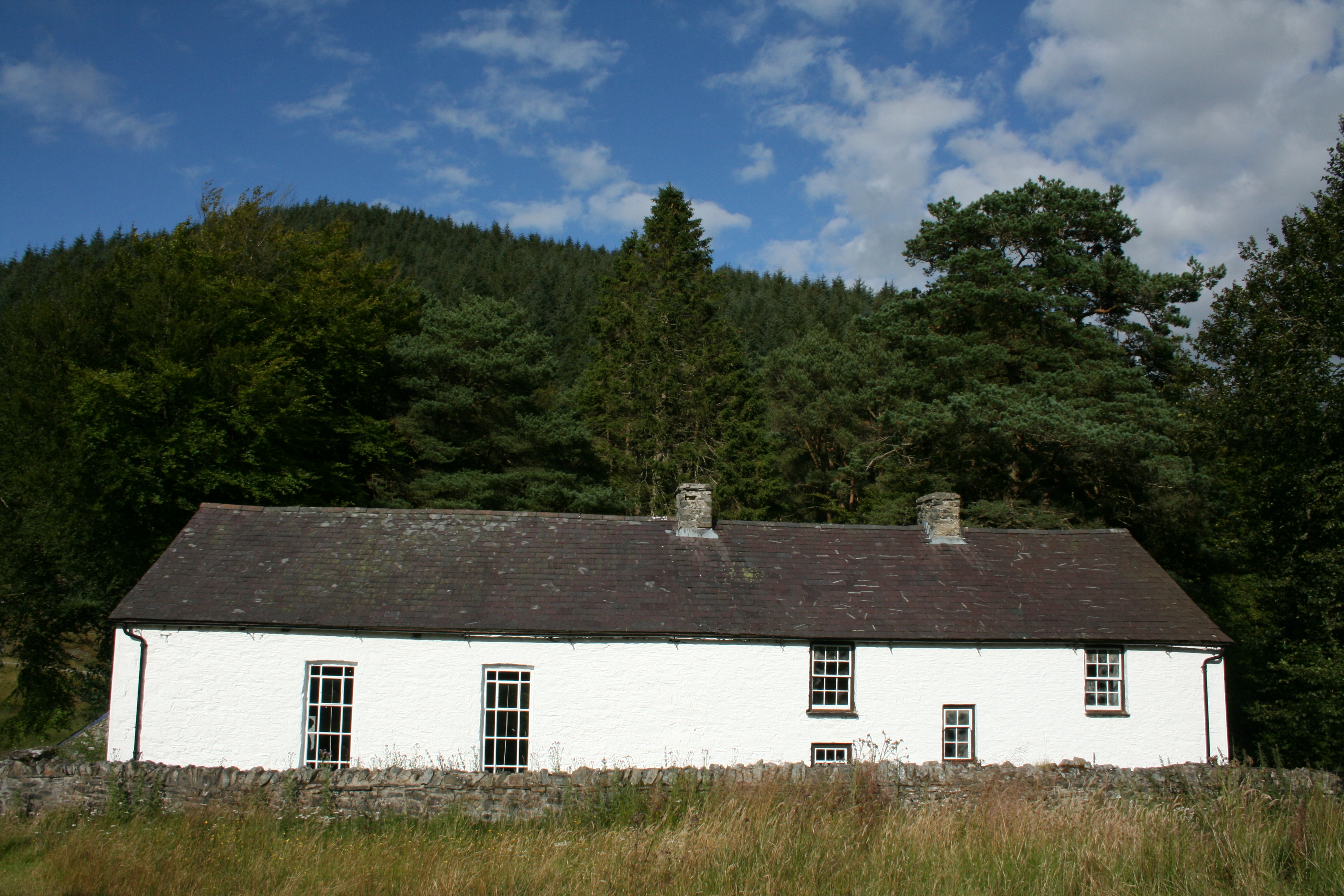
Allt y Frân is a beautiful woodland located in Cardiganshire, Wales. Covering an area of approximately 200 hectares, it is known for its picturesque landscapes and diverse flora and fauna. The woodland is situated on the southern slopes of Mynydd Allt y Frân, a hill that reaches a height of 396 meters above sea level.
The woodland is mainly composed of mixed deciduous trees, including oak, beech, and ash. These trees create a dense canopy, providing shade and shelter for a variety of wildlife. Allt y Frân is home to several rare and protected species, such as red kites, goshawks, and dormice. The forest also boasts a rich variety of plants, including bluebells, wood anemones, and wild garlic, which create a colorful carpet during springtime.
The woodland offers several well-maintained footpaths and trails, providing visitors with the opportunity to explore the area and enjoy its natural beauty. The paths lead to stunning viewpoints, offering panoramic views of the surrounding countryside and nearby Cardigan Bay.
Allt y Frân is a popular destination for nature enthusiasts, hikers, and birdwatchers. The tranquility and peacefulness of the woodland make it an ideal place for relaxation and contemplation. The forest is also used for educational purposes, with organized nature walks and workshops taking place regularly.
Overall, Allt y Frân is a cherished natural gem in Cardiganshire, offering visitors a chance to immerse themselves in the beauty of the Welsh countryside and discover the wonders of its diverse ecosystem.
If you have any feedback on the listing, please let us know in the comments section below.
Allt y Frân Images
Images are sourced within 2km of 52.168965/-3.7786515 or Grid Reference SN7853. Thanks to Geograph Open Source API. All images are credited.


Allt y Frân is located at Grid Ref: SN7853 (Lat: 52.168965, Lng: -3.7786515)
Unitary Authority: Ceredigion
Police Authority: Dyfed Powys
What 3 Words
///message.snuggle.paddlers. Near Abergwesyn, Powys
Nearby Locations
Related Wikis
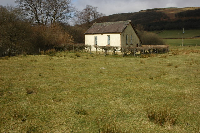
Soar y mynydd
Soar-y-mynydd or Soar y mynydd is a Calvinist Methodist chapel near the eastern extremity of the large parish of Llanddewi Brefi, Ceredigion. It is claimed...

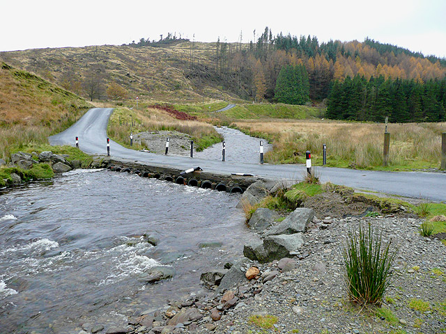
Camddwr
For the tributary of the River Wye, see Camddwr, Wye and for the tributary of the River Teifi, see Camddwr, Teifi.The Camddwr is a significant right-bank...

Llyn Brianne
Llyn Brianne is a man-made lake or reservoir in the headwaters of the River Towy in Wales. == Construction == The reservoir was constructed by Wimpey Construction...
Nant Irfon National Nature Reserve
Nant Irfon National Nature Reserve is a national nature reserve located high in the hills above the Afon Irfon valley near the village of Abergwesyn in...
Vicarage Meadows
Vicarage Meadows is a Site of Special Scientific Interest near Abergwesyn, Powys, Wales. The 3.6 hectares (8.9 acres) site, located close to the Nant Irfon...
Abergwesyn
Abergwesyn is a village in the Welsh county of Powys, in mid-Wales, at the start of the Abergwesyn valley and at the confluence of the Afon Irfon and the...
Afon Irfon
Afon Irfon (the River Irfon) is a river in Powys, Wales. It flows from the upper slopes of Bryn Garw in the Cambrian Mountains, through the Abergwesyn...
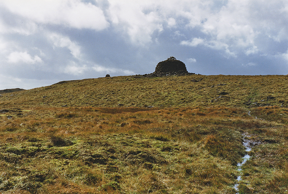
Drygarn Fawr
Drygarn Fawr is a mountain in the county of Powys, Wales. It is one of the highest summits in Mid Wales at 645 metres (2,116 ft) above sea level. It lies...
Nearby Amenities
Located within 500m of 52.168965,-3.7786515Have you been to Allt y Frân?
Leave your review of Allt y Frân below (or comments, questions and feedback).