Acre Wood

Wood, Forest in Flintshire

Wales

Acre Wood

Celtic Style Cross on Gwaenysgor By the viewpoint car park.
Celtic Style Cross on Gwaenysgor Credit: David Bremner

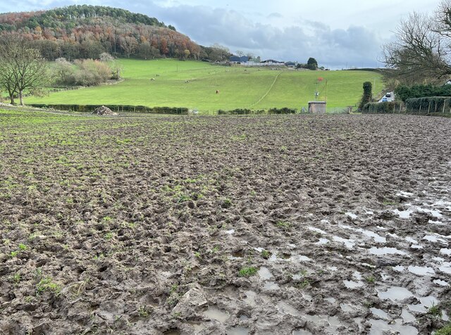
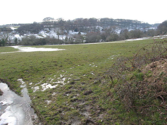
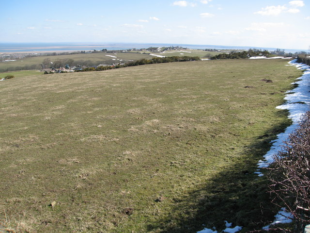
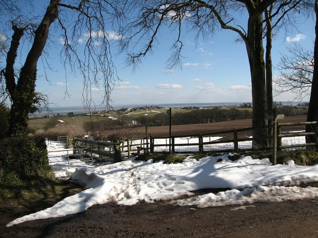
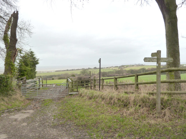
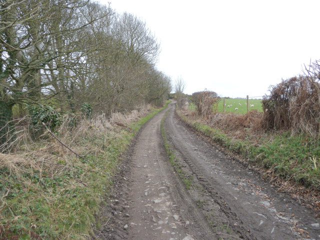
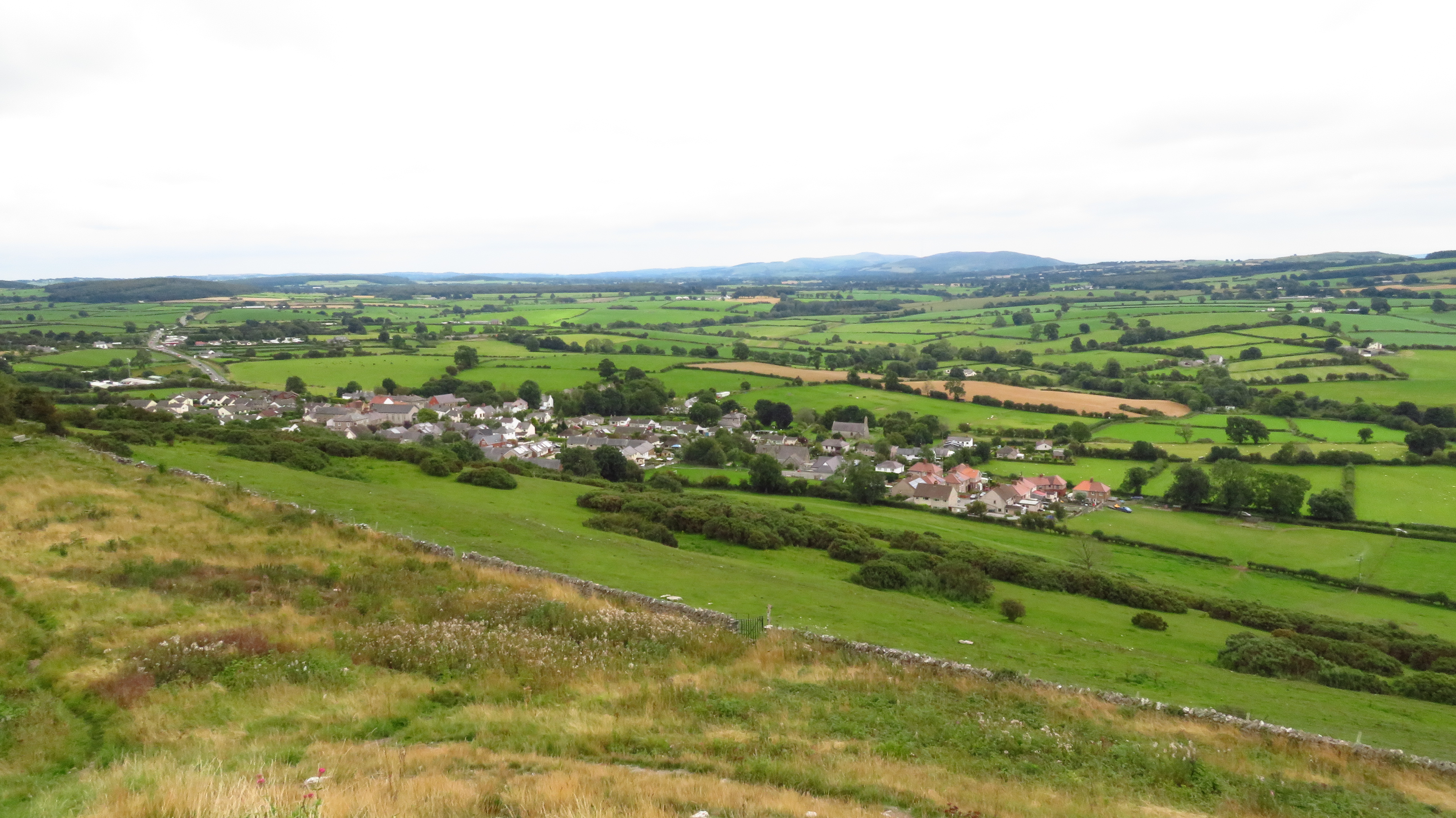
Acre Wood, located in Flintshire, is a beautiful and serene forest that spans over a vast area. It is a popular destination for nature enthusiasts and hikers, offering a tranquil retreat away from the hustle and bustle of city life. The wood is known for its rich biodiversity, boasting a wide variety of plant and animal species.

The forest is predominantly composed of deciduous trees, such as oak, beech, and birch, which create a picturesque landscape during the autumn months when the leaves change color. The dense canopy of the trees provides shade and filters the sunlight, creating a cool and refreshing atmosphere within the wood.

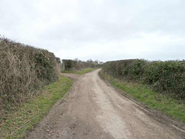
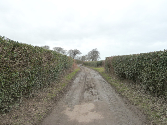
Acre Wood is crisscrossed by numerous well-maintained walking trails, allowing visitors to explore the natural beauty of the area at their own pace. Along these trails, one can find an abundance of wildlife, including squirrels, rabbits, and a wide range of bird species. With luck, visitors might even spot a deer or two, as they roam freely in the forest.

In addition to its natural splendor, Acre Wood also offers recreational facilities for those looking to engage in outdoor activities. There are picnic areas with benches and tables, as well as designated spots for barbecues. This makes it a popular spot for families and friends to gather and enjoy a day out in nature.

Overall, Acre Wood is a magnificent forest that offers a diverse range of experiences for nature lovers. Its enchanting beauty, peaceful ambiance, and abundant wildlife make it a must-visit destination for anyone seeking a connection with nature.

If you have any feedback on the listing, please let us know in the comments section below.

Acre Wood Images

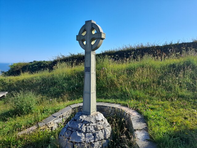
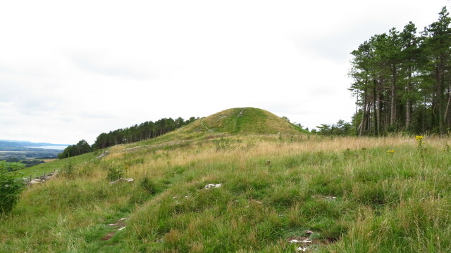
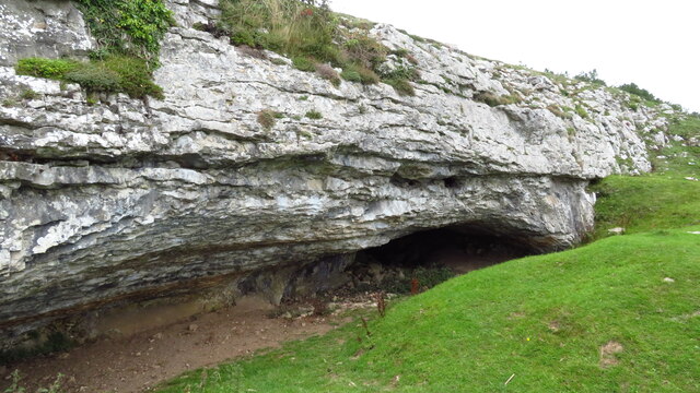
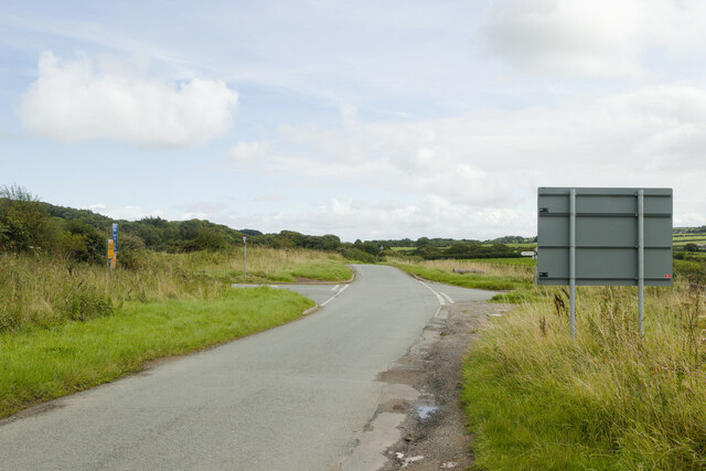
Images are sourced within 2km of 53.327253/-3.3733431 or Grid Reference SJ0882. Thanks to Geograph Open Source API. All images are credited.

Celtic Style Cross on Gwaenysgor By the viewpoint car park.
Celtic Style Cross on Gwaenysgor
By the viewpoint car park.
Viewpoint at Gwaenysgor Prestatyn and the Irish Sea in the distance.
Viewpoint at Gwaenysgor
Prestatyn and the Irish Sea in the distance.
Approaching Gop Hill Cairn from the east Gop Hill is the second largest pre-historic man made mound in the United Kingdom after Silbury Hill in Wiltshire.
Approaching Gop Hill Cairn from the east
Gop Hill is the second largest pre-historic man made mound in the United Kingdom after Silbury Hill in Wiltshire.
Gop Cave above Trelawnyd
Crossroads near Gwaenysgor A reverse view of the first Geograph for this square: <a href="https://www.geograph.org.uk/photo/31116">SJ0780 : Gwaenysgor crossroads</a>
Crossroads near Gwaenysgor
A reverse view of the first Geograph for this square: SJ0780 : Gwaenysgor crossroads
Impassable footpath through field An alternative route is required!
Impassable footpath through field
An alternative route is required!
Shore Road, Gronant Looking north, heading for Presthaven Holiday Camp and the beach
Shore Road, Gronant
Looking north, heading for Presthaven Holiday Camp and the beach
Static caravans at Presthaven Beach resort There are thousands of statics along the coast between Gronant and Talacre
Static caravans at Presthaven Beach resort
There are thousands of statics along the coast between Gronant and Talacre
School Covert From Llanasa Road across grazing land and scrubland.  A small stream runs through the valley in between.
School Covert
From Llanasa Road across grazing land and scrubland. A small stream runs through the valley in between.
Grazing field by Kelston Farm From the byway from Gronant looking towards Gwespyr on the hill behind and in the far distance are views of the Wirral and Liverpool Bay
Grazing field by Kelston Farm
From the byway from Gronant looking towards Gwespyr on the hill behind and in the far distance are views of the Wirral and Liverpool Bay
Meeting of four ways At this point a byway from Gronant meets a pathway heading past Kelston Farm, a minor road to Llanasa and a bridleway heading westward towards Prestatyn.  There is a fine view across School Covert with Gwespyr on the left and in the distance you can see the Wirral, the Liverpool Cathedrals and the coast north of there.
Meeting of four ways
At this point a byway from Gronant meets a pathway heading past Kelston Farm, a minor road to Llanasa and a bridleway heading westward towards Prestatyn. There is a fine view across School Covert with Gwespyr on the left and in the distance you can see the Wirral, the Liverpool Cathedrals and the coast north of there.
Farm track near Ty'n-y-caeau Llanasa
Footpath to Kelston Farm
Footpath sign on the Gronant and Gwespyr Circular Walk
Footpath near Kelston Farm
Llanasa Village centre at Llanasa
Llanasa
Village centre at Llanasa
Llanasa Village church to the left of the village centre
Llanasa
Village church to the left of the village centre
Show me another place!

Acre Wood is located at Grid Ref: SJ0882 (Lat: 53.327253, Lng: -3.3733431)

Unitary Authority: Flintshire

Police Authority: North Wales

Also known as: Coedwig Erw

What 3 Words

///failed.outlooks.stencil. Near Gronant, Flintshire

Related Wikis

RAF Prestatyn

Royal Air Force Prestatyn or more simply RAF Prestatyn is a former Royal Air Force radar post situated near Prestatyn, in Denbighshire, north-east Wales...
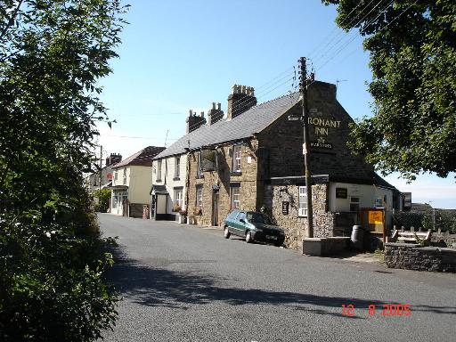
Gronant

Gronant is a village in Flintshire, Wales, about 2 miles east of Prestatyn. The population, as measured by the 2001 census, is 1,595, living in 697 households...

Gwaenysgor

Gwaenysgor is a small village in Flintshire, Wales. Located near Prestatyn in north Wales, it lies at an elevation of 600 feet, 183 metres. There is one...

Trelawnyd and Gwaenysgor

Trelawnyd and Gwaenysgor is a community in Flintshire, Wales. The community includes the villages of Trelawnyd and Gwaenysgor. The community council is...

Nearby Amenities

Located within 500m of 53.327253,-3.3733431
Man Made: mast
Tower Type: communication
Lat/Long: 53.3278709/-3.3757333
Barrier: stile
Lat/Long: 53.3259534/-3.3780429
St Elmo's Summer House
Archaeological Site: tumulus
Historic: archaeological_site
Lat/Long: 53.3251213/-3.3753509
Power: pole
Lat/Long: 53.326153/-3.376125
Power: pole
Lat/Long: 53.3261672/-3.3749901
Power: pole
Lat/Long: 53.3261814/-3.3736891
Power: pole
Lat/Long: 53.3261908/-3.3722854
Power: pole
Lat/Long: 53.3262168/-3.3712098
Power: pole
Lat/Long: 53.3262475/-3.3700512
Power: pole
Lat/Long: 53.326257/-3.3689084
Power: pole
Lat/Long: 53.3262672/-3.3679187
Power: pole
Lat/Long: 53.3261409/-3.3769513
Power: pole
Lat/Long: 53.325797/-3.3777264
Power: pole
Lat/Long: 53.3253149/-3.3787422
Power: pole
Lat/Long: 53.3249132/-3.3795089
Tumulus
Archaeological Site: tumulus
Historic: archaeological_site
Lat/Long: 53.3253741/-3.378069
Barrier: stile
Lat/Long: 53.3257017/-3.3673385
St Elmos Summer House
Ele: 235
Natural: peak
Wikidata: Q106709493
Lat/Long: 53.3250435/-3.375403
Power: pole
Lat/Long: 53.3267194/-3.3659038
Power: pole
Lat/Long: 53.3264699/-3.3669964
Barrier: stile
Lat/Long: 53.3259778/-3.3781483
Barrier: stile
Lat/Long: 53.3262945/-3.3745229
The data included in this document is from www.openstreetmap.org. The data is made available under ODbL.

Have you been to Acre Wood?

Leave your review of Acre Wood below (or comments, questions and feedback).