Coed yr Esgob

Wood, Forest in Flintshire

Wales

Coed yr Esgob

Celtic Style Cross on Gwaenysgor By the viewpoint car park.
Celtic Style Cross on Gwaenysgor Credit: David Bremner

The requested URL returned error: 429 Too Many Requests

If you have any feedback on the listing, please let us know in the comments section below.

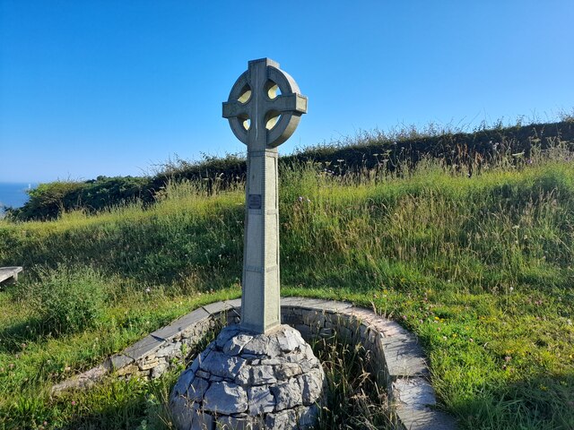
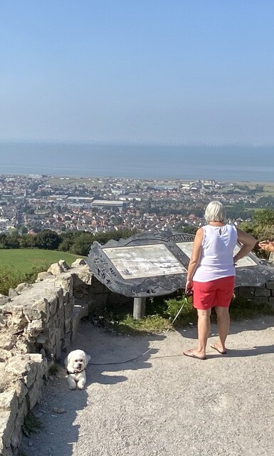
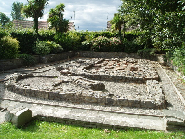
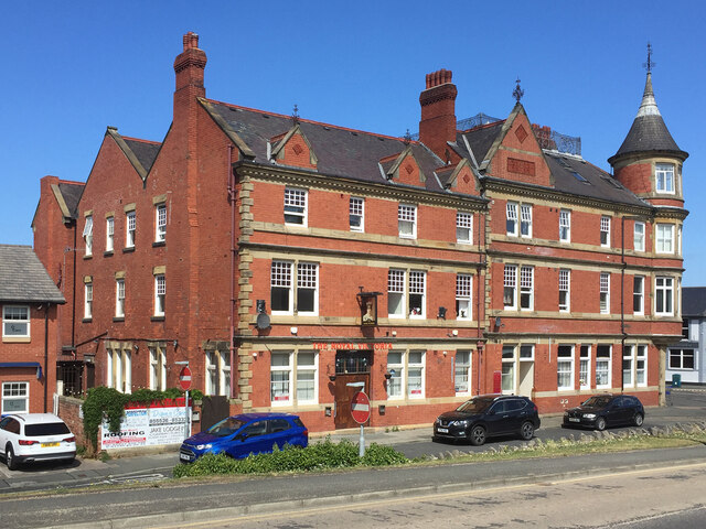
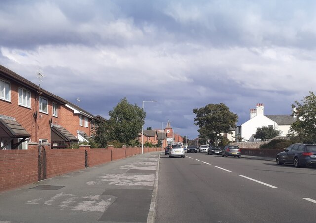
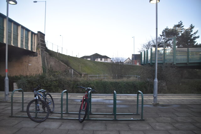
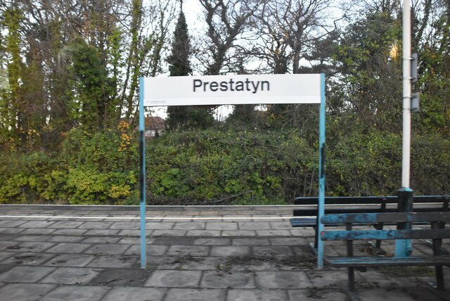
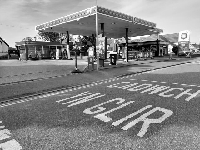
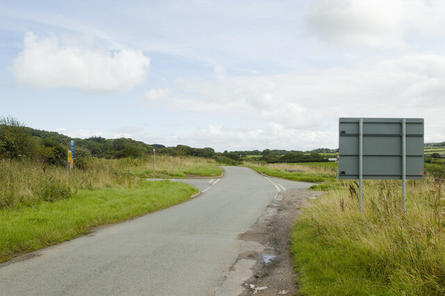
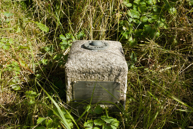
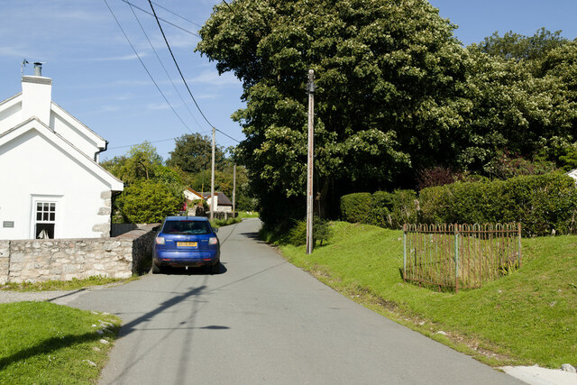
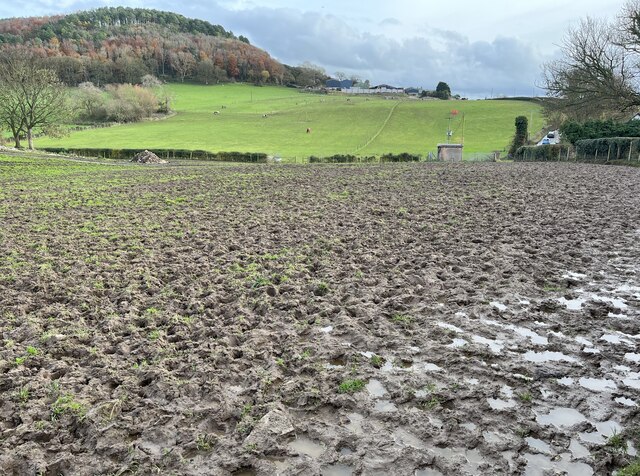
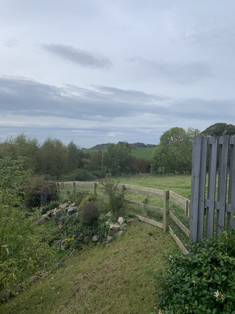
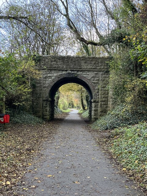
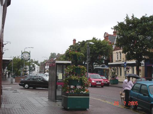
Coed yr Esgob Images

Images are sourced within 2km of 53.320492/-3.399714 or Grid Reference SJ0681. Thanks to Geograph Open Source API. All images are credited.

Celtic Style Cross on Gwaenysgor By the viewpoint car park.
Celtic Style Cross on Gwaenysgor
By the viewpoint car park.
Viewpoint at Gwaenysgor Prestatyn and the Irish Sea in the distance.
Viewpoint at Gwaenysgor
Prestatyn and the Irish Sea in the distance.
Remains of Roman Baths, Prestatyn Current thinking associates this with activities associated with the nearby lead mines.
Remains of Roman Baths, Prestatyn
Current thinking associates this with activities associated with the nearby lead mines.
Home Bargains Prestatyn - site under construction Opening December 2022.
Home Bargains Prestatyn - site under construction
Opening December 2022.
The Royal Victoria - Prestatyn
Victoria Road, Prestatyn
Prestatyn Station Prestatyn station serves the town of Prestatyn. It located on the North Wales Coast Line and was opened in 1848. The station is managed by Arriva Trains Wales and is served by their services from Cardiff Central, Birmingham International and Manchester to Holyhead and Llandudno; also by Virgin Trains services to and from London Euston.
Wikipedia: <span class="nowrap"><a title="http://en.wikipedia.org/wiki/Prestatyn_railway_station" rel="nofollow ugc noopener" href="http://en.wikipedia.org/wiki/Prestatyn_railway_station">Link</a><img style="margin-left:2px;" alt="External link" title="External link - shift click to open in new window" src="https://s1.geograph.org.uk/img/external.png" width="10" height="10"/></span>
Prestatyn Station
Prestatyn station serves the town of Prestatyn. It located on the North Wales Coast Line and was opened in 1848. The station is managed by Arriva Trains Wales and is served by their services from Cardiff Central, Birmingham International and Manchester to Holyhead and Llandudno; also by Virgin Trains services to and from London Euston. Wikipedia: LinkExternal link
Prestatyn Station
Prestatyn Station
Study of a Gasoline Station BP, Prestatyn.

 This photograph is part of a series taken in homage to the American artist Ed Ruscha's 1963 publication of 'Twentysix Gasoline Stations'.
 More properly known as filling stations in the UK, I am attempting to photograph as many as possible to mark the sixty year anniversary.
Study of a Gasoline Station
BP, Prestatyn. This photograph is part of a series taken in homage to the American artist Ed Ruscha's 1963 publication of 'Twentysix Gasoline Stations'. More properly known as filling stations in the UK, I am attempting to photograph as many as possible to mark the sixty year anniversary.
Crossroads near Gwaenysgor A reverse view of the first Geograph for this square: <a href="https://www.geograph.org.uk/photo/31116">SJ0780 : Gwaenysgor crossroads</a>
Crossroads near Gwaenysgor
A reverse view of the first Geograph for this square: SJ0780 : Gwaenysgor crossroads
Fundamental Bench Mark, Bryniau Bench Mark Database: <span class="nowrap"><a title="https://www.bench-marks.org.uk/bm1054" rel="nofollow ugc noopener" href="https://www.bench-marks.org.uk/bm1054">Link</a><img style="margin-left:2px;" alt="External link" title="External link - shift click to open in new window" src="https://s1.geograph.org.uk/img/external.png" width="10" height="10"/></span>
Fundamental Bench Mark, Bryniau
Bench Mark Database: LinkExternal link
Lane in Bryniau Castle House is on the left. There is a fundamental bench mark behind the railings to the right of the photograph and a closer view can be seen here: <a href="https://www.geograph.org.uk/photo/7574290">SJ0680 : Fundamental Bench Mark, Bryniau</a>.
Lane in Bryniau
Castle House is on the left. There is a fundamental bench mark behind the railings to the right of the photograph and a closer view can be seen here: SJ0680 : Fundamental Bench Mark, Bryniau.
Lane near Gop Farm
Lane near Gop Farm
Impassable footpath through field An alternative route is required!
Impassable footpath through field
An alternative route is required!
Lane approaching Newmarket Road
Room with a view Graig Fawr is visible in the distance.
Room with a view
Graig Fawr is visible in the distance.
Road bridge over footpath / cycleway
Prestatyn High  Street On a rainy July summer's day - Prestatyn High Street
Prestatyn High Street
On a rainy July summer's day - Prestatyn High Street
Show me another place!

Coed yr Esgob is located at Grid Ref: SJ0681 (Lat: 53.320492, Lng: -3.399714)

Unitary Authority: Denbighshire

Police Authority: North Wales

Also known as: Bishop Wood

What 3 Words

///these.complies.entrust. Near Prestatyn, Denbighshire

Related Wikis

St. Melyd Golf Links railway station

St. Melyd Golf Links railway station was a stop on Dyserth branch line (now a footpath). Passengers would have to access from the Gwaenysgor facing side...

Prestatyn Community Hospital

Prestatyn Community Hospital (Welsh: Ysbyty Cymunedol Prestatyn) was a community hospital in Prestatyn, Wales. It was managed by Betsi Cadwaladr University...

Gwaenysgor

Gwaenysgor is a small village in Flintshire, Wales. Located near Prestatyn in north Wales, it lies at an elevation of 600 feet, 183 metres. There is one...

Prestatyn High School

Prestatyn High School is the only secondary school in the town of Prestatyn, and one of 9 secondary schools in the entire county of Denbighshire. It is...

Nearby Amenities

Located within 500m of 53.320492,-3.399714
Noexit: yes
Lat/Long: 53.3237962/-3.3993217
Coed-yr-escob Round Barrow
Archaeological Site: tumulus
Historic: archaeological_site
Tumulus: round_barrow
Lat/Long: 53.3190481/-3.3977266
Tumulus
Archaeological Site: tumulus
Ele: 211
Historic: archaeological_site
Lat/Long: 53.3218711/-3.3959218
Man Made: adit
Lat/Long: 53.3171008/-3.4023204
Barrier: kissing_gate
Lat/Long: 53.3206534/-3.4010138
The Fish Mine
Disused: yes
Mineral: lead
Natural: cave_entrance
Lat/Long: 53.3193134/-3.4004475
The Fish Mine
Board Type: information
Information: board
Tourism: information
Lat/Long: 53.3193711/-3.4005279
Boot Cave
Natural: cave_entrance
Lat/Long: 53.3229117/-3.3990705
Jaynee's
Addr City: Prestatyn
Addr Country: GB
Addr Housename: St Melyd Golf Club
Addr Place: Meliden
Addr Postcode: LL19 8NB
Addr Street: The Paddock
Fhrs Authority: Denbighshire
Fhrs Id: 921509
Fhrs Local Authority Id: 703668
Name En: Jaynee's
Lat/Long: 53.3212675/-3.4039861
Direction: SSE
Generator Method: photovoltaic
Generator Output Electricity: yes
Generator Solar Modules: 5
Generator Source: solar
Generator Type: solar_photovoltaic_panel
Location: roof
Power: generator
Lat/Long: 53.3238193/-3.3996423
Direction: 80
Generator Method: photovoltaic
Generator Output Electricity: yes
Generator Solar Modules: 7
Generator Source: solar
Generator Type: solar_photovoltaic_panel
Location: roof
Power: generator
Lat/Long: 53.3244227/-3.4006108
St. Melyd Golf Links
Railway: site
Wikidata: Q23070983
Wikipedia: en:St. Melyd Golf Links railway station
Lat/Long: 53.3226096/-3.4041706
Talargoch Mine Drainage Adit
Man Made: adit
Lat/Long: 53.3204058/-3.407202
Power: pole
Lat/Long: 53.3168623/-3.3968305
Direction: 260
Generator Method: photovoltaic
Generator Output Electricity: yes
Generator Solar Modules: 7
Generator Source: solar
Generator Type: solar_photovoltaic_panel
Location: roof
Power: generator
Lat/Long: 53.3244165/-3.4006508
Direction: SSE
Generator Method: photovoltaic
Generator Output Electricity: yes
Generator Solar Modules: 4
Generator Source: solar
Generator Type: solar_photovoltaic_panel
Location: roof
Power: generator
Lat/Long: 53.3237965/-3.3996986
Direction: SSE
Generator Method: photovoltaic
Generator Output Electricity: yes
Generator Solar Modules: 1
Generator Source: solar
Generator Type: solar_photovoltaic_panel
Location: roof
Power: generator
Lat/Long: 53.3238409/-3.3995826
Neolithic Settlement
Archaeological Site: settlement
Historic: archaeological_site
Historic Civilization: neolithic
Lat/Long: 53.3213114/-3.3937019
Bryn Llwyn
Natural: peak
Lat/Long: 53.3219014/-3.395951
Power: pole
Lat/Long: 53.3169937/-3.3967897
Barrier: stile
Lat/Long: 53.3184695/-3.3938899
The data included in this document is from www.openstreetmap.org. The data is made available under ODbL.

Have you been to Coed yr Esgob?

Leave your review of Coed yr Esgob below (or comments, questions and feedback).