The Dingle

Valley in Flintshire

Wales

The Dingle

Celtic Style Cross on Gwaenysgor By the viewpoint car park.
Celtic Style Cross on Gwaenysgor Credit: David Bremner

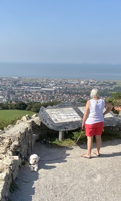
The Dingle, located in Flintshire, is a picturesque valley nestled within the Clwydian Range Area of Outstanding Natural Beauty in northeast Wales. This enchanting natural landscape is renowned for its breathtaking beauty and tranquil atmosphere, attracting visitors from near and far.

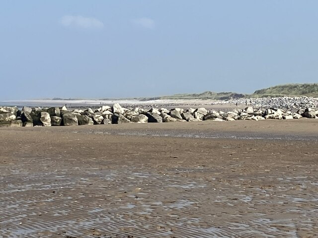
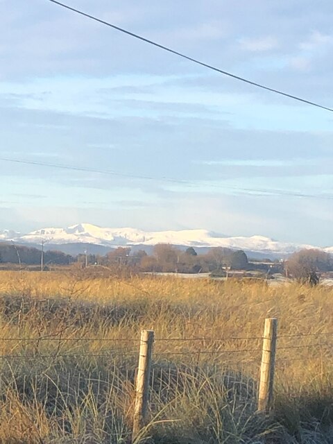
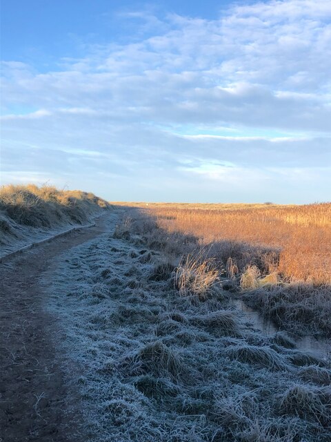
The Dingle is characterized by its lush greenery, dense woodlands, and meandering streams. The valley is home to a diverse range of flora and fauna, making it a haven for nature enthusiasts and photographers. Visitors can explore the well-maintained footpaths that wind through the valley, offering panoramic views of the surrounding countryside.

One of the major attractions in The Dingle is its stunning waterfall. Cascading down from a height, the waterfall is a sight to behold and offers a serene and peaceful ambience. The surrounding rock formations add to the area's charm, creating a perfect setting for picnics or simply enjoying the natural beauty.

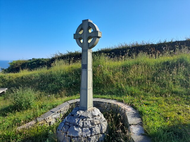
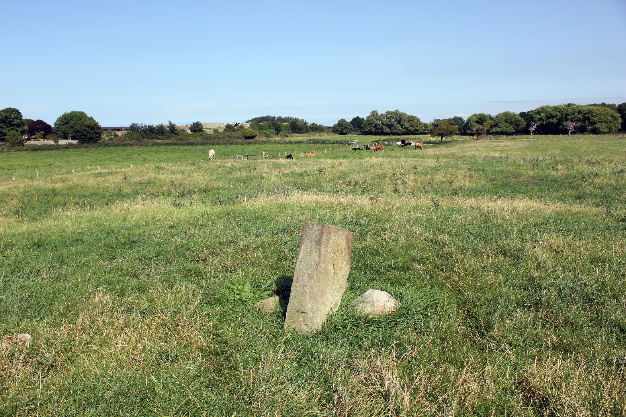
In addition to its natural wonders, The Dingle also boasts a rich history. There are remnants of ancient settlements and archaeological sites that date back to the prehistoric period. The valley has witnessed human activity for thousands of years, and evidence of this can be found in the form of stone circles and burial mounds.

Overall, The Dingle in Flintshire is a remarkable destination that offers a unique blend of natural beauty and historical significance. Whether it's for a leisurely stroll, a picnic, or a moment of tranquility, this valley provides an idyllic escape from the hustle and bustle of everyday life.

If you have any feedback on the listing, please let us know in the comments section below.
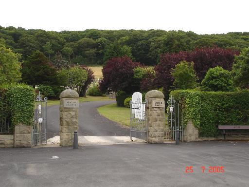
The Dingle Images

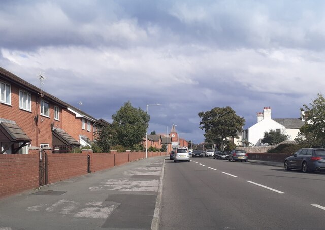
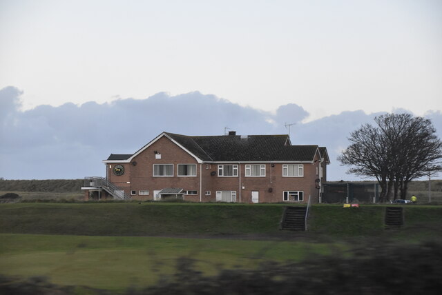
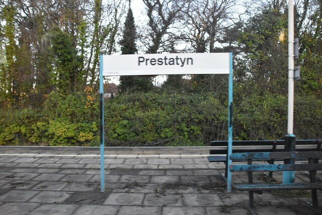
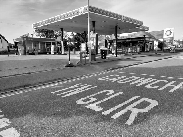
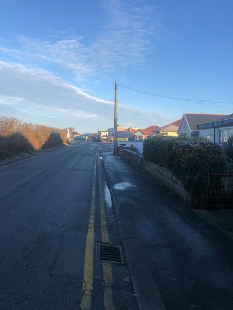
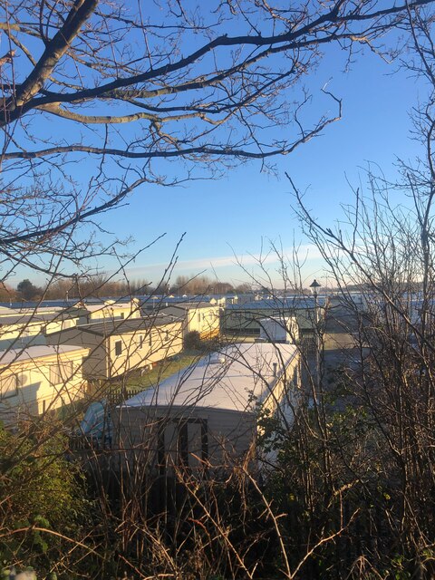
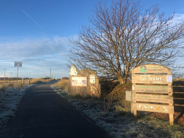
Images are sourced within 2km of 53.334274/-3.3803417 or Grid Reference SJ0882. Thanks to Geograph Open Source API. All images are credited.

Celtic Style Cross on Gwaenysgor By the viewpoint car park.
Celtic Style Cross on Gwaenysgor
By the viewpoint car park.
Groyne on Barkby Beach
Viewpoint at Gwaenysgor Prestatyn and the Irish Sea in the distance.
Viewpoint at Gwaenysgor
Prestatyn and the Irish Sea in the distance.
Home Bargains Prestatyn - site under construction Opening December 2022.
Home Bargains Prestatyn - site under construction
Opening December 2022.
The Royal Victoria - Prestatyn
Victoria Road, Prestatyn
Clubhouse, Prestatyn Golf Club
Prestatyn Station Prestatyn station serves the town of Prestatyn. It located on the North Wales Coast Line and was opened in 1848. The station is managed by Arriva Trains Wales and is served by their services from Cardiff Central, Birmingham International and Manchester to Holyhead and Llandudno; also by Virgin Trains services to and from London Euston.
Wikipedia: <span class="nowrap"><a title="http://en.wikipedia.org/wiki/Prestatyn_railway_station" rel="nofollow ugc noopener" href="http://en.wikipedia.org/wiki/Prestatyn_railway_station">Link</a><img style="margin-left:2px;" alt="External link" title="External link - shift click to open in new window" src="https://s1.geograph.org.uk/img/external.png" width="10" height="10"/></span>
Prestatyn Station
Prestatyn station serves the town of Prestatyn. It located on the North Wales Coast Line and was opened in 1848. The station is managed by Arriva Trains Wales and is served by their services from Cardiff Central, Birmingham International and Manchester to Holyhead and Llandudno; also by Virgin Trains services to and from London Euston. Wikipedia: LinkExternal link
Prestatyn Station
Prestatyn Station
Study of a Gasoline Station BP, Prestatyn.

 This photograph is part of a series taken in homage to the American artist Ed Ruscha's 1963 publication of 'Twentysix Gasoline Stations'.
 More properly known as filling stations in the UK, I am attempting to photograph as many as possible to mark the sixty year anniversary.
Study of a Gasoline Station
BP, Prestatyn. This photograph is part of a series taken in homage to the American artist Ed Ruscha's 1963 publication of 'Twentysix Gasoline Stations'. More properly known as filling stations in the UK, I am attempting to photograph as many as possible to mark the sixty year anniversary.
Shore Road, Gronant Looking north, heading for Presthaven Holiday Camp and the beach
Shore Road, Gronant
Looking north, heading for Presthaven Holiday Camp and the beach
Static caravans at Presthaven Beach resort There are thousands of statics along the coast between Gronant and Talacre
Static caravans at Presthaven Beach resort
There are thousands of statics along the coast between Gronant and Talacre
Path into Gronant Dunes Nature Reserve The dunes have been designated a SSSI as they provide an important habitat for a variety of important plant and animal life. Marine flora found here includes sea holly, marram grass and rare dune fescue.  Also here are natterjack toads, lizards and North Wales’ only breeding colony of little terns.
Path into Gronant Dunes Nature Reserve
The dunes have been designated a SSSI as they provide an important habitat for a variety of important plant and animal life. Marine flora found here includes sea holly, marram grass and rare dune fescue. Also here are natterjack toads, lizards and North Wales’ only breeding colony of little terns.
View over Gronant Nature Reserve Snow-capped Eryri plainly visible on a beautiful January morning
View over Gronant Nature Reserve
Snow-capped Eryri plainly visible on a beautiful January morning
Path through Gronant Dunes After a hard night's frost, the grass in the shade is still frozen hard
Path through Gronant Dunes
After a hard night's frost, the grass in the shade is still frozen hard
Calm sea, Barkby Beach The tide is in so just a pebble beach. Gwynt y Mor Wind Farm on the horizon
Calm sea, Barkby Beach
The tide is in so just a pebble beach. Gwynt y Mor Wind Farm on the horizon
Notice near steps leading to the beach at Barkby Beach
Coed Bell Cemetery Coed Bell cemetery near Gronant
Coed Bell Cemetery
Coed Bell cemetery near Gronant
Show me another place!

The Dingle is located at Grid Ref: SJ0882 (Lat: 53.334274, Lng: -3.3803417)

Unitary Authority: Denbighshire

Police Authority: North Wales

What 3 Words

///sampling.farms.scripted. Near Gronant, Flintshire

Related Wikis

Prestatyn Castle

Prestatyn Castle is a motte and bailey castle in Prestatyn, Wales, built in 1157 on land granted to the Norman lord Robert Banastre by King Henry II of...

RAF Prestatyn

Royal Air Force Prestatyn or more simply RAF Prestatyn is a former Royal Air Force radar post situated near Prestatyn, in Denbighshire, north-east Wales...
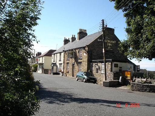
Gronant

Gronant is a village in Flintshire, Wales, about 2 miles east of Prestatyn. The population, as measured by the 2001 census, is 1,595, living in 697 households...

Prestatyn Community Hospital

Prestatyn Community Hospital (Welsh: Ysbyty Cymunedol Prestatyn) was a community hospital in Prestatyn, Wales. It was managed by Betsi Cadwaladr University...

Nearby Amenities

Located within 500m of 53.334274,-3.3803417
Lead Mine
Historic: archaeological_site
Historic Civilization: modern
Lat/Long: 53.3346809/-3.3876506
Man Made: mineshaft
Lat/Long: 53.3344308/-3.3846301
Man Made: mineshaft
Lat/Long: 53.3356552/-3.3758952
The data included in this document is from www.openstreetmap.org. The data is made available under ODbL.

Have you been to The Dingle?

Leave your review of The Dingle below (or comments, questions and feedback).