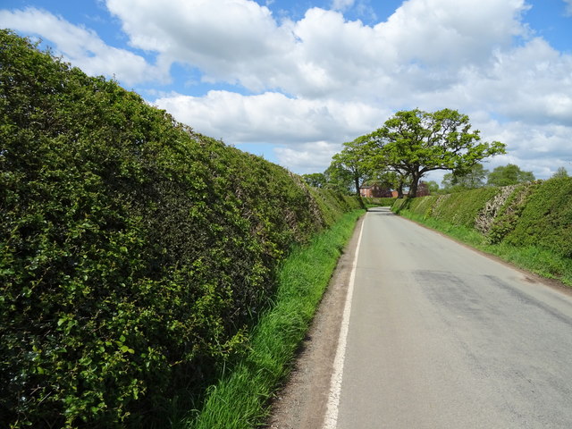
Century Plantation
Wood, Forest in Flintshire
Wales
Century Plantation

Century Plantation is a picturesque woodland located in Flintshire, Wales. This ancient forest is home to a variety of tree species, including oak, beech, and chestnut trees, many of which are over a hundred years old. The plantation covers a vast area of land, providing a tranquil and peaceful setting for visitors to explore.
The woodland is a popular destination for nature enthusiasts, hikers, and birdwatchers, thanks to its diverse flora and fauna. Visitors can expect to see an abundance of wildlife, including deer, squirrels, and various bird species, as they wander through the tranquil forest paths.
Century Plantation is also known for its historic significance, with remnants of old structures and artifacts scattered throughout the woodland. The site is a testament to the area's rich history, providing a glimpse into the past for those who venture through its ancient trees.
Overall, Century Plantation offers a serene escape from the hustle and bustle of modern life, allowing visitors to immerse themselves in the beauty of nature and history.
If you have any feedback on the listing, please let us know in the comments section below.
Century Plantation Images
Images are sourced within 2km of 52.975723/-2.7374029 or Grid Reference SJ5042. Thanks to Geograph Open Source API. All images are credited.


Century Plantation is located at Grid Ref: SJ5042 (Lat: 52.975723, Lng: -2.7374029)
Unitary Authority: Wrexham
Police Authority: North Wales
What 3 Words
///harmony.stems.badge. Near Whitchurch, Shropshire
Nearby Locations
Related Wikis
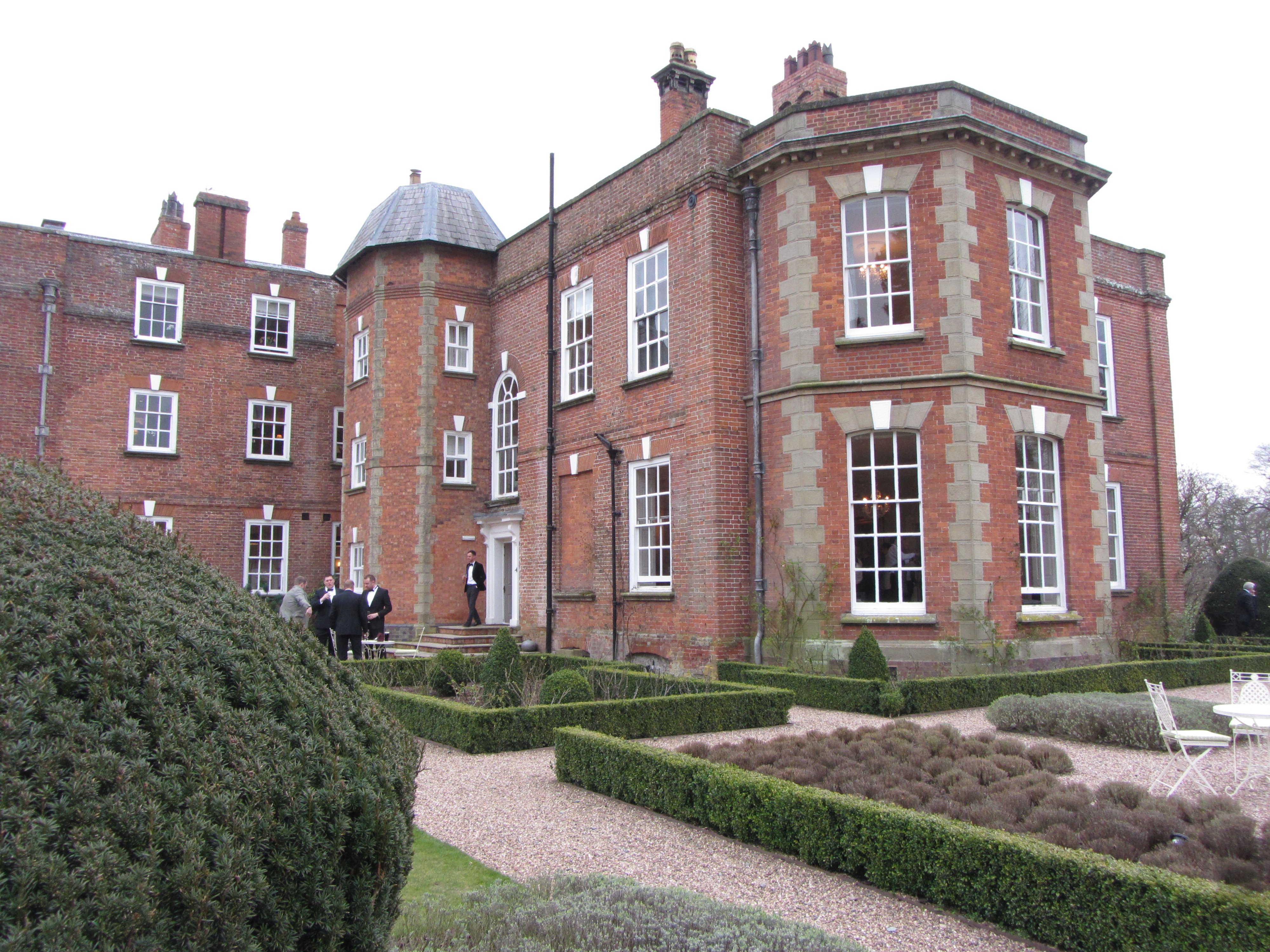
Iscoyd Park
Iscoyd Park is a three-storey redbrick country house in Wrexham County Borough, Wales. It has a slate roof built in the early 18th century. It was sold...

Whitewell, Wrexham
Whitewell () is a dispersed rural settlement, and surrounding ecclesiastical parish, in the community of Bronington, in the east of Wrexham County Borough...
Wigland
Wigland is a civil parish in the Borough of Cheshire West and Chester and ceremonial county of Cheshire in England. It, along with the neighbouring parishes...

South Cheshire Way
The South Cheshire Way is a 34-mile (55 km) long-distance footpath running east–west mainly through Cheshire, England, although parts lie in Shropshire...
Nearby Amenities
Located within 500m of 52.975723,-2.7374029Have you been to Century Plantation?
Leave your review of Century Plantation below (or comments, questions and feedback).