Iscoyd Park

Heritage Site in Flintshire

Wales

Iscoyd Park

Higher Wych Looking across the border from Highbrooke House (Wales) to the hamlet of Higher Wych (England). The course of Wych Brook is the national boundary.
Higher Wych Credit: Oliver Dixon

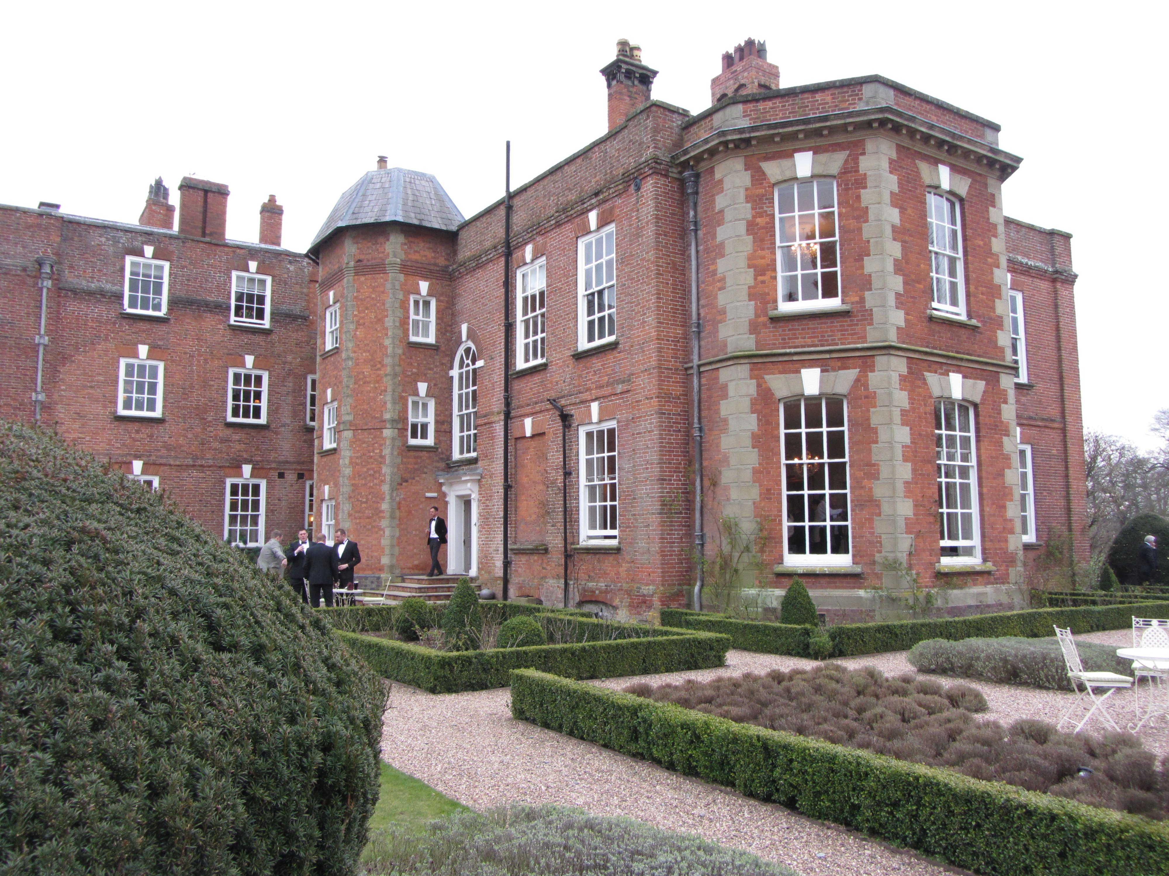
Iscoyd Park is a historic country house located in the county of Flintshire, Wales. Situated in a picturesque rural setting, the property dates back to the early 18th century and is considered a significant heritage site in the region.

The house itself is an exquisite example of Georgian architecture, renowned for its elegant proportions and exquisite detailing. The interior boasts a wealth of period features, including ornate plasterwork, grand fireplaces, and intricately carved woodwork. The rooms are tastefully decorated, combining original elements with modern amenities to provide a luxurious and comfortable experience for visitors.

Surrounding the house is a beautifully manicured garden, featuring a mix of formal lawns, vibrant flower beds, and mature trees. The garden offers a peaceful retreat, with various seating areas allowing visitors to relax and take in the tranquil surroundings. Additionally, there is a charming walled garden, which is home to a variety of plants and flowers.

Iscoyd Park also has a rich history, having been occupied by various notable families over the years. The estate has witnessed significant events and played host to various social gatherings, including weddings, parties, and cultural events. Today, the property is available for hire as a wedding venue and has gained a reputation for its exceptional service and idyllic setting.

In summary, Iscoyd Park is a splendid heritage site in Flintshire, Wales, boasting a stunning Georgian country house, beautiful gardens, and a rich historical past. It is a cherished destination for those seeking a memorable and elegant experience in a rural setting.

If you have any feedback on the listing, please let us know in the comments section below.

Iscoyd Park Images

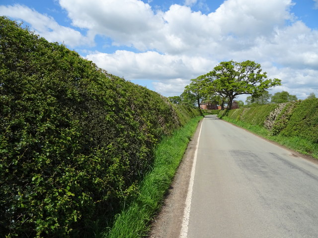
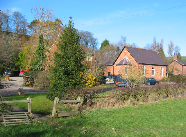
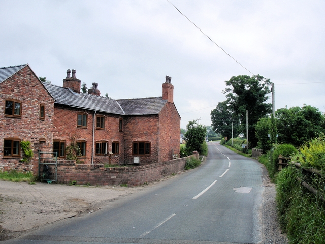
Images are sourced within 2km of 52.977/-2.737 or Grid Reference SJ5042. Thanks to Geograph Open Source API. All images are credited.

Higher Wych Looking across the border from Highbrooke House (Wales) to the hamlet of Higher Wych (England). The course of Wych Brook is the national boundary.
Higher Wych
Looking across the border from Highbrooke House (Wales) to the hamlet of Higher Wych (England). The course of Wych Brook is the national boundary.
Doves on the wire A few of the flock of eighteen white doves - and one variegated one - assembled on a telegraph wire at  Higher Wych, Such a concentration of ornamental birds hints at the earlier existence of a dovecote somewhere in the vicinity.
Doves on the wire
A few of the flock of eighteen white doves - and one variegated one - assembled on a telegraph wire at Higher Wych, Such a concentration of ornamental birds hints at the earlier existence of a dovecote somewhere in the vicinity.
Cottage on Smokey Lane
Warren Cottages
Warren Cottages
St Mary's church, Whitewell
House on the A525, Whitewell
Broad Oak Farm, Whitewell
A525 near Broad Oak Farm Looking east.
A525 near Broad Oak Farm
Looking east.
Grassland near Kiln Green
Lane towards Higher Wych Looking north west.
Lane towards Higher Wych
Looking north west.
Former school, Higher Wych Now a private residence.
Former school, Higher Wych
Now a private residence.
Minor road, Higher Wych Looking north west.
Minor road, Higher Wych
Looking north west.
Grassland, Higher Wych Near the former school.
Grassland, Higher Wych
Near the former school.
Elizabeth II postbox, Maes-y-groes Farm Postbox No. SY13 700.

See <a href="https://www.geograph.org.uk/photo/6142841">SJ4943 : Close up, Elizabeth II postbox, Maes-y-groes Farm</a> for close up.
Elizabeth II postbox, Maes-y-groes Farm
Postbox No. SY13 700. See SJ4943 : Close up, Elizabeth II postbox, Maes-y-groes Farm for close up.
Close up, Elizabeth II postbox, Maes-y-groes Farm Postbox No. SY13 700.

See <a href="https://www.geograph.org.uk/photo/6142838">SJ4943 : Elizabeth II postbox, Maes-y-groes Farm</a> for wider view.
Close up, Elizabeth II postbox, Maes-y-groes Farm
Postbox No. SY13 700. See SJ4943 : Elizabeth II postbox, Maes-y-groes Farm for wider view.
Victorian postbox, Higher Wych Postbox No. SY14 683.
Victorian postbox, Higher Wych
Postbox No. SY14 683.
Direction Sign – Signpost Located on the northwest side of the junction of Higher Wych Road and Higher Lanes in Bronington community. 3 arms and pawn finial. See also <a title="https://www.geograph.org.uk/photo/4425618" href="https://www.geograph.org.uk/photo/4425618">Link</a>.

Milestone Society National ID: FLT_SJ4943
Direction Sign – Signpost
Located on the northwest side of the junction of Higher Wych Road and Higher Lanes in Bronington community. 3 arms and pawn finial. See also Link. Milestone Society National ID: FLT_SJ4943
Show me another place!

Iscoyd Park is located at Grid Ref: SJ5042 (Lat: 52.977, Lng: -2.737)

Unitary Authority: Wrexham

Police Authority: North Wales

What 3 Words

///nurtures.calibrate.housework. Near Whitchurch, Shropshire

Related Wikis

Iscoyd Park

Iscoyd Park is a three-storey redbrick country house in Wrexham County Borough, Wales. It has a slate roof built in the early 18th century. It was sold...

Wigland

Wigland is a civil parish in the Borough of Cheshire West and Chester and ceremonial county of Cheshire in England. It, along with the neighbouring parishes...

Whitewell, Wrexham

Whitewell () is a dispersed rural settlement, and surrounding ecclesiastical parish, in the community of Bronington, in the east of Wrexham County Borough...

Agden, Cheshire West and Chester

Agden is a small civil parish in the unitary authority of Cheshire West and Chester and the ceremonial county of Cheshire, England. It is the site of...

Nearby Amenities

Located within 500m of 52.977,-2.737
Iscoyd Mansion
Tourism: hotel
Lat/Long: 52.9727487/-2.739329
The data included in this document is from www.openstreetmap.org. The data is made available under ODbL.

Have you been to Iscoyd Park?

Leave your review of Iscoyd Park below (or comments, questions and feedback).