Broad Meend

Wood, Forest in Monmouthshire

Wales

Broad Meend

Stone row at Trellech The setting sun at the winter solstice shines between the leaning stones.
Stone row at Trellech Credit: Andy Stott

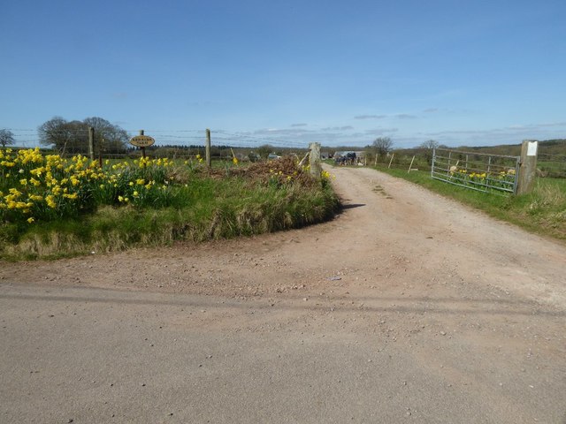
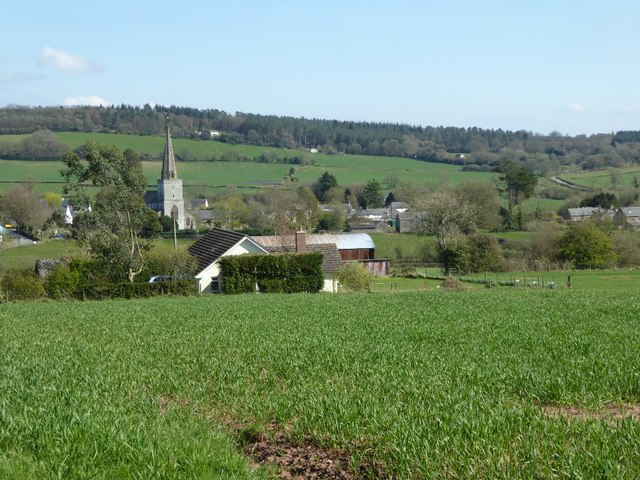
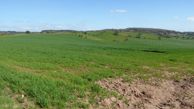
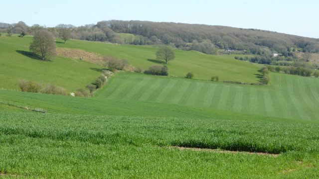
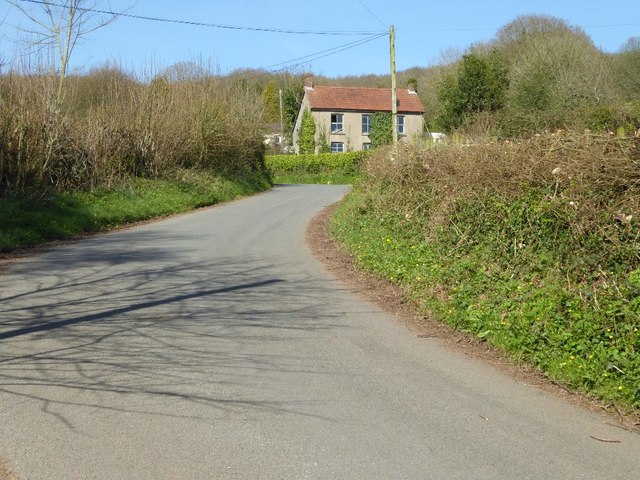
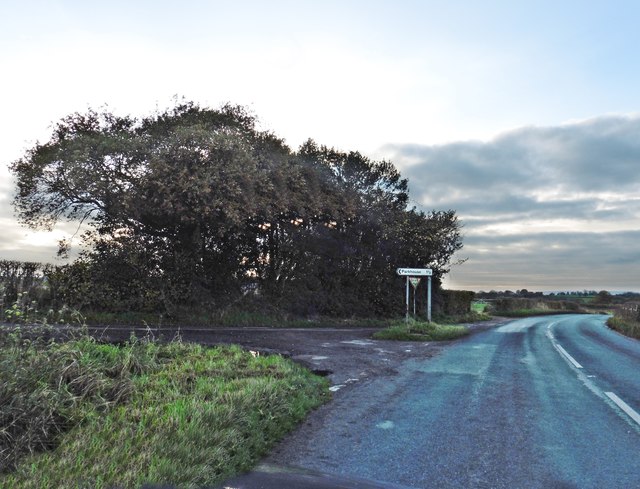
Broad Meend is a woodland area located in Monmouthshire, Wales. It is a picturesque forest that covers an approximate area of 150 acres. The woodland is situated on the outskirts of the village of Trellech, offering a tranquil and serene environment for visitors.

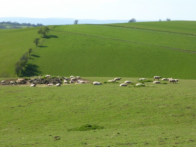
Broad Meend is known for its rich biodiversity and is home to a diverse range of flora and fauna. The forest is dominated by a variety of deciduous trees, including oak, beech, and ash, creating a dense canopy that provides shelter and habitat for numerous wildlife species. Visitors can expect to encounter a wide range of bird species, such as woodpeckers, owls, and various songbirds.

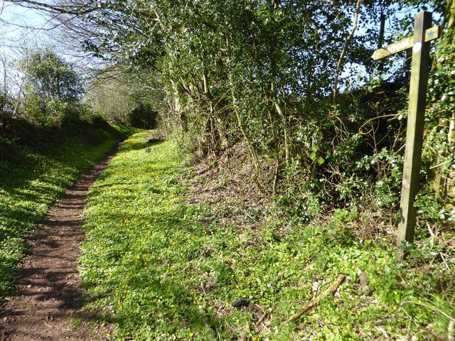
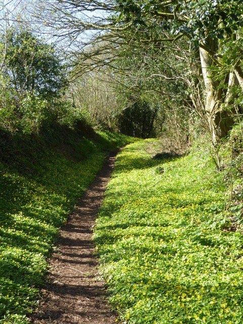
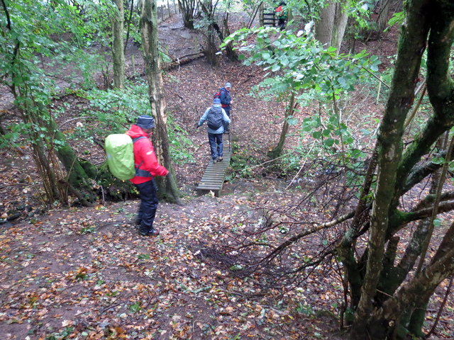
The forest also boasts a network of walking trails, allowing visitors to explore the woodland at their own pace. These trails meander through the forest, providing opportunities to immerse oneself in the natural beauty of the area. The woodland floor is carpeted with a variety of wildflowers during the spring and summer months, adding bursts of color to the landscape.

Broad Meend is a popular destination for nature enthusiasts, hikers, and birdwatchers alike. It offers a peaceful retreat from the hustle and bustle of everyday life, providing an opportunity to connect with nature and enjoy the tranquility of the forest. Whether one is seeking a leisurely stroll or a more rigorous hike, Broad Meend offers something for everyone to enjoy.

If you have any feedback on the listing, please let us know in the comments section below.

Broad Meend Images

Images are sourced within 2km of 51.734302/-2.717047 or Grid Reference SO5004. Thanks to Geograph Open Source API. All images are credited.

Stone row at Trellech The setting sun at the winter solstice shines between the leaning stones.
Stone row at Trellech
The setting sun at the winter solstice shines between the leaning stones.
Daffodils at the entrance to Redbarn Farm Daffodils beside the entrance to Redbarn Farm near Trellech, I last photographed this on a beautiful October day six and a half years ago <a href="https://www.geograph.org.uk/photo/2110431">SO4905 : Entrance to Redbarn Farm, Trellech</a>.
Daffodils at the entrance to Redbarn Farm
Daffodils beside the entrance to Redbarn Farm near Trellech, I last photographed this on a beautiful October day six and a half years ago SO4905 : Entrance to Redbarn Farm, Trellech.
View of Trellech View of Trellech from the west.
View of Trellech
View of Trellech from the west.
Arable land near Hygga Arable land north of Hygga near Llanishen.
Arable land near Hygga
Arable land north of Hygga near Llanishen.
Farmland near Llanishen Farmland to the north-east of Llanishen viewed from the B4293.  On the high ground to the left the OS map indicates it was the site of a hill fort.  The field in the centre with the stripes like a lawn has probably either just been rolled or been chain harrowed.
Farmland near Llanishen
Farmland to the north-east of Llanishen viewed from the B4293. On the high ground to the left the OS map indicates it was the site of a hill fort. The field in the centre with the stripes like a lawn has probably either just been rolled or been chain harrowed.
Public right of way A springtime public right of way at Parkhouse.
Public right of way
A springtime public right of way at Parkhouse.
Public right of way Springtime public right of way at Parkhouse.
Public right of way
Springtime public right of way at Parkhouse.
House in Parkhouse
House in Parkhouse
Sheep in the sun Sheep lay in the warm spring sunshine near Ffynnon Gaer.
Sheep in the sun
Sheep lay in the warm spring sunshine near Ffynnon Gaer.
Base of a cross beside a road junction
Base of a roadside cross The base with two steps and a socket stone for a wayside cross at Trelleck Cross.  There is a large OS cutmark cut into the side of the top.
Base of a roadside cross
The base with two steps and a socket stone for a wayside cross at Trelleck Cross. There is a large OS cutmark cut into the side of the top.
OS cutmark at Trelleck Cross A large OS cutmark in the remains of a wayside cross at Trelleck Cross.
OS cutmark at Trelleck Cross
A large OS cutmark in the remains of a wayside cross at Trelleck Cross.
Base of a wayside cross with OS cutmark Base of a wayside cross with a very visible OS cutmark beside a crossroads at Trelleck Cross.
Base of a wayside cross with OS cutmark
Base of a wayside cross with a very visible OS cutmark beside a crossroads at Trelleck Cross.
Minor road to Llangoven
Turning for Cross Lane
Tuag at y B4293 / Towards the B4293 Llwybr yn arwain at y B4293

Path heading towards the B4293
Tuag at y B4293 / Towards the B4293
Llwybr yn arwain at y B4293 Path heading towards the B4293
Nant Penarth / Penarth Brook Cerddwyr yn croesi Nant Penarth.

Walkers crossing Penarth Brook (trans. headland)
Nant Penarth / Penarth Brook
Cerddwyr yn croesi Nant Penarth. Walkers crossing Penarth Brook (trans. headland)
Croesi nant fach / Crossing a small  brook Cerddwyr yn croesi nant fach.

Walkers crossing a small brook.
Croesi nant fach / Crossing a small brook
Cerddwyr yn croesi nant fach. Walkers crossing a small brook.
Show me another place!

Broad Meend is located at Grid Ref: SO5004 (Lat: 51.734302, Lng: -2.717047)

Unitary Authority: Monmouthshire

Police Authority: Gwent

What 3 Words

///probing.dives.snuck. Near Tintern, Monmouthshire

Nearby Locations

Cotland Broad Meend

Related Wikis

Cleddon Bog

Cleddon Bog (grid reference SO509039) is a bog in the vice-county of Monmouthshire which has been notified as a biological Site of Special Scientific Interest...

Trellech United

Trellech United is a community and electoral ward in the county of Monmouthshire, Wales. It lies south of the county town of Monmouth next to the Wales...

Cleddon Hall

Cleddon Hall, formerly known as Ravenscroft, is a 19th-century Victorian country house in Trellech, Monmouthshire, Wales. In the later 19th century it...

Trellech

Trellech (occasionally spelt Trelech, Treleck or Trelleck; Welsh: Tryleg) is a village and parish in Monmouthshire, south-east Wales. Located 5 miles...

Nearby Amenities

Located within 500m of 51.734302,-2.717047
The data included in this document is from www.openstreetmap.org. The data is made available under ODbL.

Have you been to Broad Meend?

Leave your review of Broad Meend below (or comments, questions and feedback).