Wonastow Brake

Wood, Forest in Monmouthshire

Wales

Wonastow Brake

Layby and Public Toilets
Layby and Public Toilets Credit: Anthony Parkes

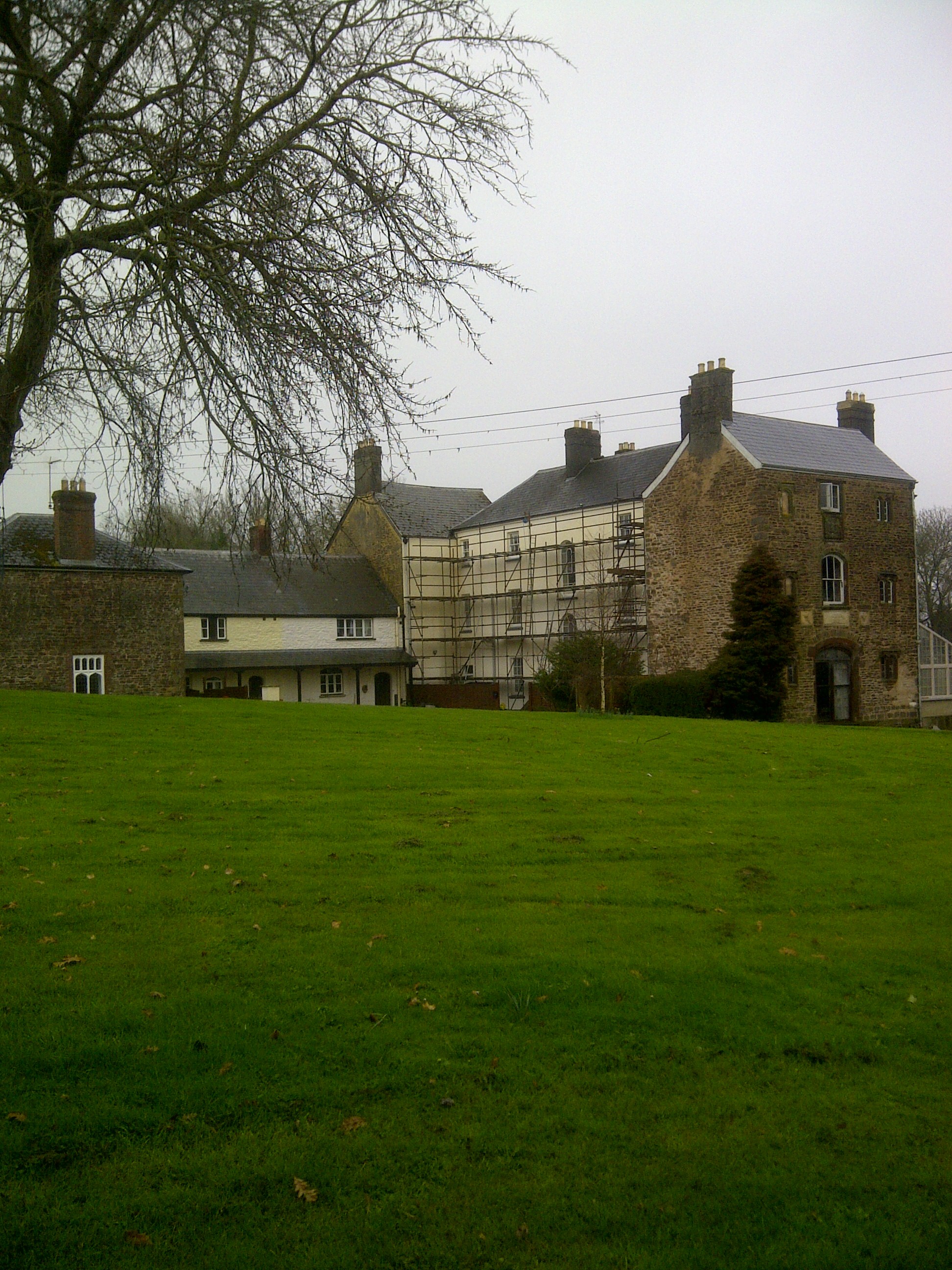
Wonastow Brake is a small woodland located in Monmouthshire, Wales. Situated near the village of Wonastow, it covers an area of approximately 30 acres. This picturesque forest is part of the wider Wye Valley Area of Outstanding Natural Beauty.

The woodland is primarily composed of mixed deciduous trees, including oak, beech, ash, and birch. These trees provide a dense canopy, creating a shaded and tranquil atmosphere within the forest. The forest floor is covered in a carpet of ferns, moss, and wildflowers, adding to its natural charm.

Wonastow Brake is home to a diverse range of wildlife. Birdwatchers can spot various species, such as woodpeckers, owls, and warblers, among others. The forest also provides a habitat for small mammals like squirrels, rabbits, and hedgehogs. In spring and summer, the area comes alive with butterflies, dragonflies, and other insects.

The woodland is crisscrossed by a network of paths and trails, making it a popular destination for walkers, hikers, and nature enthusiasts. These paths allow visitors to explore the forest and enjoy its beauty at their own pace. The forest also offers opportunities for picnicking and photography, with numerous scenic spots available.

Wonastow Brake is easily accessible, located just a short distance from the A40 road. It is a peaceful and rejuvenating natural haven, offering visitors a chance to escape the hustle and bustle of everyday life and immerse themselves in the serenity of the Welsh countryside.

If you have any feedback on the listing, please let us know in the comments section below.

Wonastow Brake Images

Images are sourced within 2km of 51.806047/-2.7466707 or Grid Reference SO4812. Thanks to Geograph Open Source API. All images are credited.

Layby and Public Toilets
On the A449 heading east, on a beautiful sunny day
On the A40 near Mitchel Troy, heading north-east
A40 in cutting north of Mitchel Troy The A40 road runs 256 miles from the City of London to Fishguard. It is a major trunk road and runs through High Wycombe, Oxford, Cheltenham, Ross on Wye, Abergavenny, Llandeilo and Carmarthen.
A40 in cutting north of Mitchel Troy
The A40 road runs 256 miles from the City of London to Fishguard. It is a major trunk road and runs through High Wycombe, Oxford, Cheltenham, Ross on Wye, Abergavenny, Llandeilo and Carmarthen.
Farm access bridge over A40 north of Mitchel Troy The bridge carries a farm track and footpath
Farm access bridge over A40 north of Mitchel Troy
The bridge carries a farm track and footpath
Lay-by by the A40 near Mitchel Troy The lay-by extends into <a href="https://www.geograph.org.uk/gridref/SO4911">SO4911</a>; this is a well-equipped lay-by with protection between the traffic and the parked vehicles.
Lay-by by the A40 near Mitchel Troy
The lay-by extends into SO4911; this is a well-equipped lay-by with protection between the traffic and the parked vehicles.
View of Wonastow View across the valley to Wonastow church from near Craig-y-dorth.  This is deceptive as from this viewpoint the church appears to be in a valley, and yet when the church is viewed from the passing A40 it appears to be on a hill <a href="https://www.geograph.org.uk/photo/3209785">SO4810 : A distant view of Wonastow</a>.
View of Wonastow
View across the valley to Wonastow church from near Craig-y-dorth. This is deceptive as from this viewpoint the church appears to be in a valley, and yet when the church is viewed from the passing A40 it appears to be on a hill SO4810 : A distant view of Wonastow.
New Estate - South of Monmouth Green Field Development
New Estate - South of Monmouth
Green Field Development
Solar panels on the Old School House, Mitchel Troy, Monmouthshire Now a private residence, the building was the village's infants and junior school from c1875 until closure in 1991. It was built to accommodate 60 children, a surprisingly high number based on the current size of the village and its surroundings. The average attendance in 1900 was 37.
Solar panels on the Old School House, Mitchel Troy, Monmouthshire
Now a private residence, the building was the village's infants and junior school from c1875 until closure in 1991. It was built to accommodate 60 children, a surprisingly high number based on the current size of the village and its surroundings. The average attendance in 1900 was 37.
Zebra crossing in Mitchel Troy, Monmouthshire Across the apparently unnamed main road through the village. This road was formerly 
part of the A40 before the opening of a straighter, wider A40 about 200 metres to the north.
Zebra crossing in Mitchel Troy, Monmouthshire
Across the apparently unnamed main road through the village. This road was formerly part of the A40 before the opening of a straighter, wider A40 about 200 metres to the north.
Zebra crossing warning sign, Mitchel Troy, Monmouthshire On the approach to this <a title="https://www.geograph.org.uk/photo/5803216" href="https://www.geograph.org.uk/photo/5803216">Link</a> zebra crossing. The road was formerly part of the A40 
before the opening of a straighter, wider A40 about 200 metres to the north.
Zebra crossing warning sign, Mitchel Troy, Monmouthshire
On the approach to this Link zebra crossing. The road was formerly part of the A40 before the opening of a straighter, wider A40 about 200 metres to the north.
Bus stop on a Mitchel Troy corner,  Monmouthshire This stop near the corner of Parc Pentre is for buses from Monmouth 
to either Newport or Abergavenny. The routes diverge at Raglan.
Bus stop on a Mitchel Troy corner, Monmouthshire
This stop near the corner of Parc Pentre is for buses from Monmouth to either Newport or Abergavenny. The routes diverge at Raglan.
Old School House name sign, Mitchel Troy, Monmouthshire On the right here. <a title="https://www.geograph.org.uk/photo/5803198" href="https://www.geograph.org.uk/photo/5803198">Link</a>
Old School House name sign, Mitchel Troy, Monmouthshire
On the right here. Link
Wales & West Utilities gas installation in Mitchel Troy, Monmouthshire At the northern end of Common Road.
Wales & West Utilities gas installation in Mitchel Troy, Monmouthshire
At the northern end of Common Road.
Bus stop and shelter near Common Road,  Mitchel Troy, Monmouthshire This stop for buses to Monmouth. Viewed from the corner of Common Road.
Bus stop and shelter near Common Road, Mitchel Troy, Monmouthshire
This stop for buses to Monmouth. Viewed from the corner of Common Road.
Bilingual road name sign on a Mitchel Troy corner, Monmouthshire The sign located here <a title="https://www.geograph.org.uk/photo/5803580" href="https://www.geograph.org.uk/photo/5803580">Link</a> shows that Common Road is Heol y Comin in Welsh.
Bilingual road name sign on a Mitchel Troy corner, Monmouthshire
The sign located here Link shows that Common Road is Heol y Comin in Welsh.
Mitchel Troy - Please drive carefully The sign is at the western boundary of Mitchel Troy, a village in NE Monmouthshire about 5km SW of Monmouth. The Troy part of its name is a variant of Trothy (Troddi in Welsh), a tributary of the River Wye. There are two theories about Mitchel - it could be a variant of Michael, from the name of the village church, St Michael and All Angels, or perhaps a variant of the Old English mickle, (much or great) to distinguish the village from the nearby manor of Troy Parva.
Mitchel Troy - Please drive carefully
The sign is at the western boundary of Mitchel Troy, a village in NE Monmouthshire about 5km SW of Monmouth. The Troy part of its name is a variant of Trothy (Troddi in Welsh), a tributary of the River Wye. There are two theories about Mitchel - it could be a variant of Michael, from the name of the village church, St Michael and All Angels, or perhaps a variant of the Old English mickle, (much or great) to distinguish the village from the nearby manor of Troy Parva.
Bank Holiday cyclists leaving Mitchel Troy, Monmouthshire Travelling west on the road to Raglan on Summer Bank Holiday Monday August 27th 2018.
Bank Holiday cyclists leaving Mitchel Troy, Monmouthshire
Travelling west on the road to Raglan on Summer Bank Holiday Monday August 27th 2018.
Show me another place!

Wonastow Brake is located at Grid Ref: SO4812 (Lat: 51.806047, Lng: -2.7466707)

Unitary Authority: Monmouthshire

Police Authority: Gwent

What 3 Words

///majority.flies.quail. Near Mitchel Troy, Monmouthshire

Related Wikis

White Hill, Monmouth

White Hill is a hill rising to over 205 metres (673 ft) to the west of the town of Monmouth, South Wales and north of Wonastow. Much of it is covered by...

Wonastow

Wonastow (Welsh: Llanwarw) is a village in Monmouthshire, south east Wales. It is located 2 miles (3.2 km) south west of Monmouth. == History and amenities... ==

Drybridge (Monmouth ward)

Drybridge is an electoral ward in the town of Monmouth, Monmouthshire, Wales. The ward elects councillors to Monmouth Town Council and Monmouthshire County...

Wonastow Court

Wonastow Court, in Wonastow, Monmouthshire, Wales, is a 19th-century country house with earlier origins and later additions. The court is a Grade II listed...

Related Videos

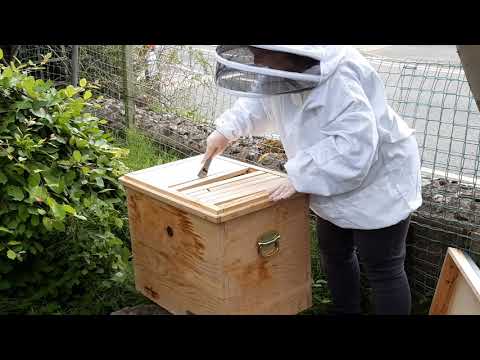
Bee Lady Vicki: Layens hive inspection uk treatment free - July 2020 (sorry about traffic noise!)

July 2020 Layens hive inspection in uk garden (please excuse traffic noise!) Treatment free natural swarm.

Monmouth Skatepark: A Quick Stop on Our Holiday

Heading on our family holiday we made a stop at Monmouth skatepark in South Wales. Awesome park, definitely planning on ...

Monnow bridge, Monmouth

An orbit of the last fortified river bridge in Great Britain, over the Monnow River in to Monmouth. D.

Monnow Bridge-River Monnow

Monnow Bridge spanning the river Monnow at Monmouth, is the only remaining fortified river bridge in Great Britain with its gate ...

Nearby Amenities

Located within 500m of 51.806047,-2.7466707
Man Made: survey_point
Lat/Long: 51.8056392/-2.7534353
Barrier: stile
Lat/Long: 51.804399/-2.7489603
Barrier: stile
Lat/Long: 51.8048211/-2.7482015
Barrier: stile
Lat/Long: 51.8057586/-2.7444875
Barrier: stile
Lat/Long: 51.8061851/-2.7423682
The data included in this document is from www.openstreetmap.org. The data is made available under ODbL.

Have you been to Wonastow Brake?

Leave your review of Wonastow Brake below (or comments, questions and feedback).