Hunt Grove

Wood, Forest in Monmouthshire

Wales

Hunt Grove

Layby and Public Toilets
Layby and Public Toilets Credit: Anthony Parkes

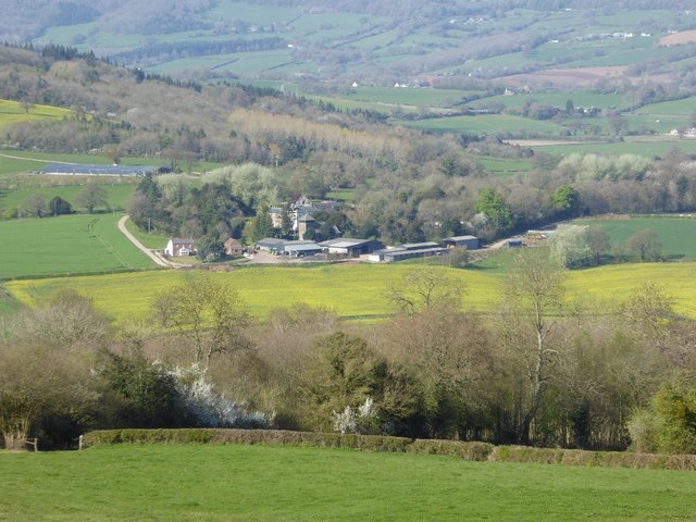
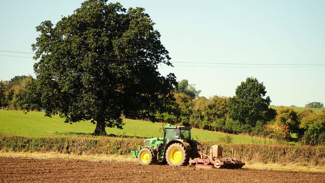
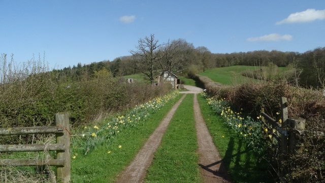
Hunt Grove, located in Monmouthshire, is a picturesque woodland area known for its natural beauty and tranquil atmosphere. Situated in the heart of the county, it covers a vast expanse of land and is a popular destination for nature lovers and outdoor enthusiasts.

The woodland in Hunt Grove is predominantly made up of a variety of native tree species, including oak, beech, and pine. These trees provide a dense canopy, forming a sheltered environment that is home to a diverse range of flora and fauna. Walking through the forest, visitors can enjoy the sights and sounds of birds chirping, squirrels scurrying, and perhaps even catch a glimpse of deer grazing.

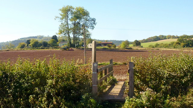
The forest is crisscrossed with a network of well-maintained trails, offering visitors the opportunity to explore the woodland at their own leisure. These paths lead to various points of interest, such as a tranquil pond, a small waterfall, and viewpoints that offer stunning vistas of the surrounding countryside.

Hunt Grove is a haven for wildlife, with many species calling it home. Birdwatchers will delight in the chance to spot rare and indigenous birds, such as the red kite and the lesser spotted woodpecker. The forest also supports a diverse range of plant life, including various wildflowers and ferns.

With its serene ambiance and natural beauty, Hunt Grove is a perfect destination for those seeking a peaceful retreat or an escape from the hustle and bustle of everyday life. Whether it's for a leisurely stroll, birdwatching, or simply enjoying the beauty of nature, this woodland area offers a truly enchanting experience for all who visit.

If you have any feedback on the listing, please let us know in the comments section below.

Hunt Grove Images

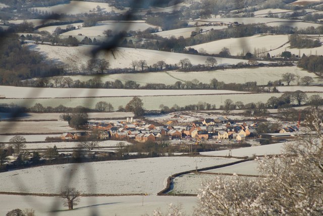
Images are sourced within 2km of 51.805838/-2.7525558 or Grid Reference SO4812. Thanks to Geograph Open Source API. All images are credited.

Layby and Public Toilets
On the A449 heading east
On the A449 heading east, on a beautiful sunny day
On the A40 near Mitchel Troy, heading north-east
Minor road crossing A40 south of Jingle Street The A40 road runs 256 miles from the City of London to Fishguard. It is a major trunk road and runs through High Wycombe, Oxford, Cheltenham, Ross on Wye, Abergavenny, Llandeilo and Carmarthen.
Minor road crossing A40 south of Jingle Street
The A40 road runs 256 miles from the City of London to Fishguard. It is a major trunk road and runs through High Wycombe, Oxford, Cheltenham, Ross on Wye, Abergavenny, Llandeilo and Carmarthen.
A40 in cutting north of Mitchel Troy The A40 road runs 256 miles from the City of London to Fishguard. It is a major trunk road and runs through High Wycombe, Oxford, Cheltenham, Ross on Wye, Abergavenny, Llandeilo and Carmarthen.
A40 in cutting north of Mitchel Troy
The A40 road runs 256 miles from the City of London to Fishguard. It is a major trunk road and runs through High Wycombe, Oxford, Cheltenham, Ross on Wye, Abergavenny, Llandeilo and Carmarthen.
Farm access bridge over A40 north of Mitchel Troy The bridge carries a farm track and footpath
Farm access bridge over A40 north of Mitchel Troy
The bridge carries a farm track and footpath
Lay-by by the A40 near Mitchel Troy The lay-by extends into <a href="https://www.geograph.org.uk/gridref/SO4911">SO4911</a>; this is a well-equipped lay-by with protection between the traffic and the parked vehicles.
Lay-by by the A40 near Mitchel Troy
The lay-by extends into SO4911; this is a well-equipped lay-by with protection between the traffic and the parked vehicles.
View of Wonastow View across the valley to Wonastow church from near Craig-y-dorth.  This is deceptive as from this viewpoint the church appears to be in a valley, and yet when the church is viewed from the passing A40 it appears to be on a hill <a href="https://www.geograph.org.uk/photo/3209785">SO4810 : A distant view of Wonastow</a>.
View of Wonastow
View across the valley to Wonastow church from near Craig-y-dorth. This is deceptive as from this viewpoint the church appears to be in a valley, and yet when the church is viewed from the passing A40 it appears to be on a hill SO4810 : A distant view of Wonastow.
New Estate - South of Monmouth Green Field Development
New Estate - South of Monmouth
Green Field Development
Unclassified road from Mitchel Troy towards Raglan Formerly part of the route of the A40, the road was declassified after the A40   through this part of rural Monmouthshire used a new road built on a nearby former railway route.
Unclassified road from Mitchel Troy towards Raglan
Formerly part of the route of the A40, the road was declassified after the A40 through this part of rural Monmouthshire used a new road built on a nearby former railway route.
Autumn cultivation, 1 A field to the west of Rockfield Road on a fine late September morning.
The old crop was rape.
Autumn cultivation, 1
A field to the west of Rockfield Road on a fine late September morning. The old crop was rape.
Autumn cultivation, 2 Preparing the ground for the next crop by the Rockfield Road.
A fine oak beyond.
Autumn cultivation, 2
Preparing the ground for the next crop by the Rockfield Road. A fine oak beyond.
Path and footbridge Croft-y-Bwla and the tractor featured in <a href="https://www.geograph.org.uk/photo/5923747">SO4913 : Autumn cultivation, 1</a> and <a href="https://www.geograph.org.uk/photo/5923753">SO4913 : Autumn cultivation, 2</a> can be seen in the distance.
Path and footbridge
Croft-y-Bwla and the tractor featured in SO4913 : Autumn cultivation, 1 and SO4913 : Autumn cultivation, 2 can be seen in the distance.
Track leading to Bailey Pit Farm from Watery Ln, Monmouth
Boundary stone with bench mark, Whitehill Wood near Monmouth
Track to Backway House, Worthybrook
Ordnance Survey Cut Mark This OS cut mark can be found on No47 Rockfield Road. It marks a point 21.455m above mean sea level.
Ordnance Survey Cut Mark
This OS cut mark can be found on No47 Rockfield Road. It marks a point 21.455m above mean sea level.
Show me another place!

Hunt Grove is located at Grid Ref: SO4812 (Lat: 51.805838, Lng: -2.7525558)

Unitary Authority: Monmouthshire

Police Authority: Gwent

What 3 Words

///narrating.patrol.sobs. Near Mitchel Troy, Monmouthshire

Related Wikis

White Hill, Monmouth

White Hill is a hill rising to over 205 metres (673 ft) to the west of the town of Monmouth, South Wales and north of Wonastow. Much of it is covered by...

Wonastow

Wonastow (Welsh: Llanwarw) is a village in Monmouthshire, south east Wales. It is located 2 miles (3.2 km) south west of Monmouth. == History and amenities... ==
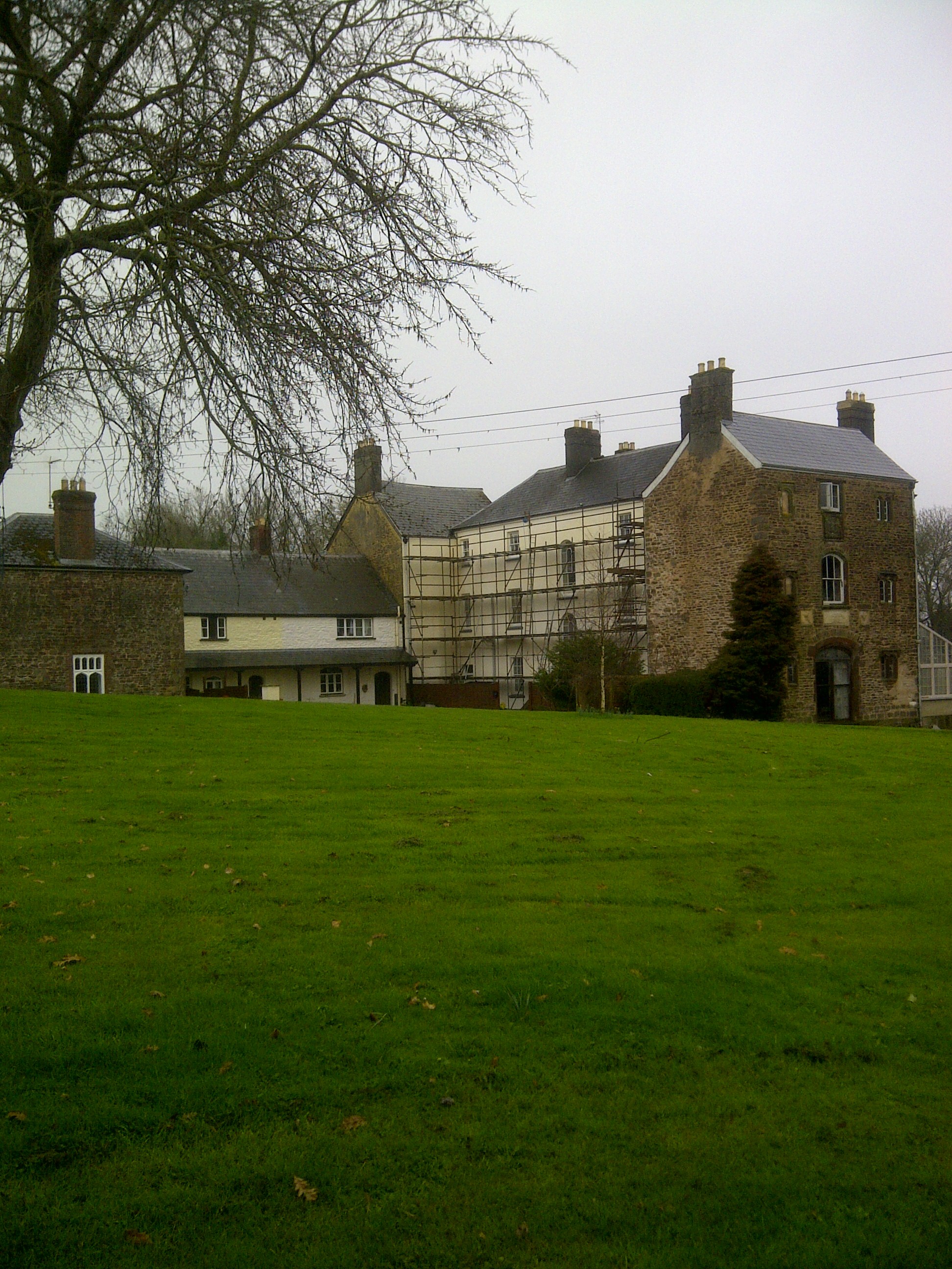
Wonastow Court

Wonastow Court, in Wonastow, Monmouthshire, Wales, is a 19th-century country house with earlier origins and later additions. The court is a Grade II listed...

Croft-Y-Bwla

Croft-Y-Bwla is a country house and farm 1.5 miles (2.4 km) north-west of Monmouth, south-east Wales. The house was built around 1830 and was designed...

Nearby Amenities

Located within 500m of 51.805838,-2.7525558
Man Made: survey_point
Lat/Long: 51.8056392/-2.7534353
Barrier: stile
Lat/Long: 51.804399/-2.7489603
Barrier: stile
Lat/Long: 51.8048211/-2.7482015
The data included in this document is from www.openstreetmap.org. The data is made available under ODbL.

Have you been to Hunt Grove?

Leave your review of Hunt Grove below (or comments, questions and feedback).