California

Settlement in Stirlingshire

Scotland

California

Field entrance off the B8028, Mavisbank
Field entrance off the B8028, Mavisbank Credit: JThomas

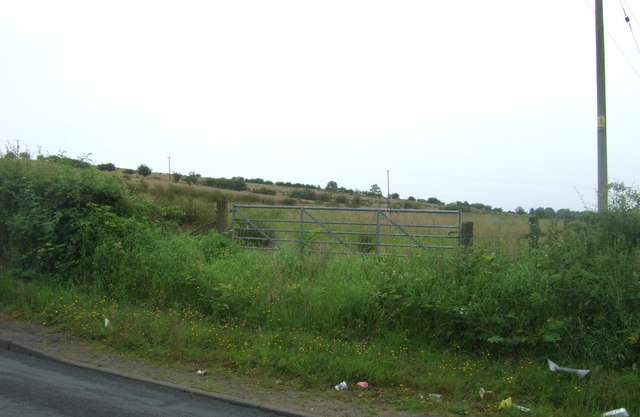
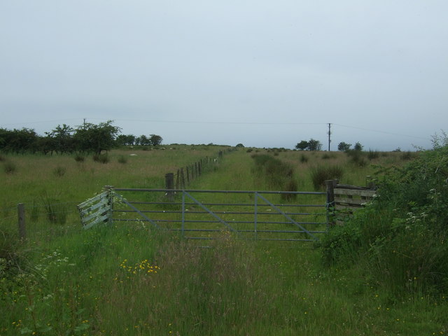
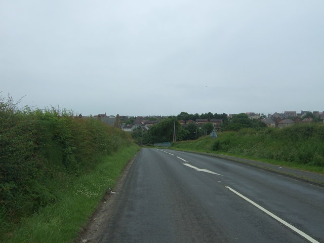
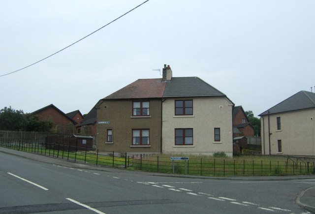
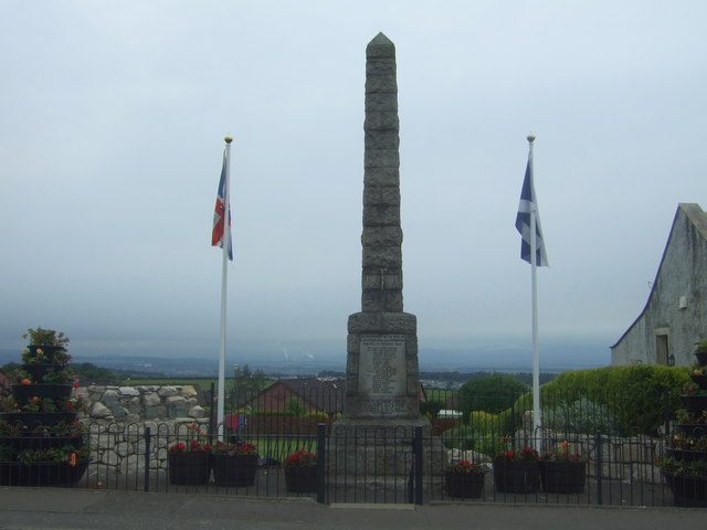
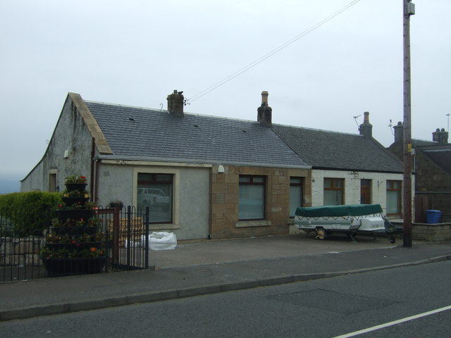
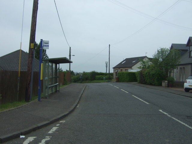
California is a small village located in the Stirlingshire region of Scotland. Situated approximately 6 miles northwest of Falkirk, it lies in the Forth Valley and is part of the Falkirk council area. The village is surrounded by picturesque countryside, with rolling hills and lush green fields.

California is known for its tranquil and charming atmosphere. It offers a peaceful retreat away from the hustle and bustle of city life. The village has a small population, contributing to its close-knit community feel.

Despite its name, California is not reminiscent of the American state. It is believed that the village was named after a ship named California that was built in the area in the mid-19th century. This ship, which was involved in the Californian gold rush, is said to have inspired the village's unique name.

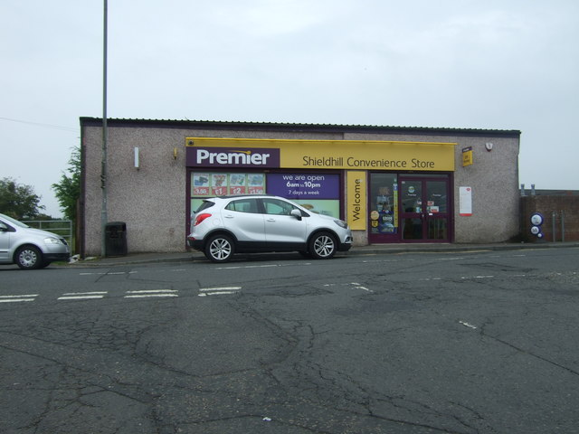
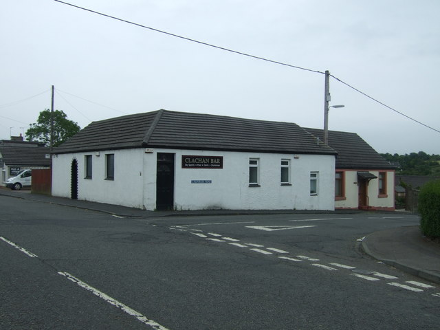
The village has limited amenities, with a few local shops and a primary school serving the community. However, California benefits from its proximity to Falkirk, where residents can find a wider range of facilities, including supermarkets, restaurants, and leisure activities.

The surrounding area offers plenty of outdoor activities for nature enthusiasts. There are several walking and cycling trails nearby, allowing visitors to explore the stunning Scottish countryside. Additionally, the village is within easy reach of the Falkirk Wheel and the Kelpies, both popular tourist attractions in the region.

Overall, California, Stirlingshire, is a charming village with a strong sense of community, offering a peaceful and idyllic setting for residents and visitors alike.

If you have any feedback on the listing, please let us know in the comments section below.

California Images

Images are sourced within 2km of 55.967007/-3.7537961 or Grid Reference NS9076. Thanks to Geograph Open Source API. All images are credited.

Field entrance off the B8028, Mavisbank
Gated track off the B8028, Shieldhill
B8028 towards Shieldhill Heading south east. The road drops down to the Westquarter Burn before rising sharply again into the village.
B8028 towards Shieldhill
Heading south east. The road drops down to the Westquarter Burn before rising sharply again into the village.
Shieldhill Convenience Store and Post Office On Main Street.
Shieldhill Convenience Store and Post Office
On Main Street.
Houses on Patterson Drive, Shieldhill
Bus stop on Main Street, Shieldhill Looking north east.
Bus stop on Main Street, Shieldhill
Looking north east.
Shieldhill War Memorial On Main Street.
Shieldhill War Memorial
On Main Street.
Houses on Main Street, Shieldhill
View over the Forth The Grangemouth petro-chemical site in the view.
View over the Forth
The Grangemouth petro-chemical site in the view.
Line of trees On the road to Boxton.
Line of trees
On the road to Boxton.
Rural road near Balnacree Farm
Bridge No 58 crossing the Union Canal
Heading east along the Union Canal This stretch of the canal is between bridges 57 and 58.
Heading east along the Union Canal
This stretch of the canal is between bridges 57 and 58.
New houses next to the Union Canal
Woodland near Glen Burn
Clachan Bar, Shieldhill On Main Street.
Clachan Bar, Shieldhill
On Main Street.
Houses on Main Street, Shieldhill
Bus stop and shelter on Main Street, Shieldhill
Show me another place!

California is located at Grid Ref: NS9076 (Lat: 55.967007, Lng: -3.7537961)

Unitary Authority: Falkirk

Police Authority: Forth Valley

What 3 Words

///rising.secret.bricks. Near Shieldhill, Falkirk

Related Wikis

California, Falkirk

California (Scottish Gaelic: Calafòrnia) is a former pit village in the Falkirk council area of Scotland. It lies between Shieldhill and Avonbridge on...

Shieldhill, Falkirk

Shieldhill is a village within the Falkirk council area in Central Scotland. The village is 2.0 miles (3.2 km) south-east of Falkirk, 2.4 miles (3.9 km...

Wallacestone

Wallacestone is a village in the area of Falkirk, central Scotland. It lies 1.5 miles (2.4 km) south-west of Polmont, 2.5 miles (4.0 km) south-east of...

Reddingmuirhead

Reddingmuirhead is a village located in Stirlingshire, Falkirk council area, Central Scotland. A few hundred yards uphill from the village of Redding,...

Nearby Amenities

Located within 500m of 55.967007,-3.7537961
Post Box
Lat/Long: 55.9655507/-3.7508761
Post Box
Collection Times: Mo-Fr 09:00; Sa 07:00
Post Box Type: lamp
Ref: FK1 193D
Royal Cypher: scottish_crown
Lat/Long: 55.9671467/-3.7540041
Bus Stop
Bench: yes
Naptan AtcoCode: 66902880021
Naptan NaptanCode: 32525628
Shelter: yes
Lat/Long: 55.9671921/-3.7540407
Mini Roundabout
Direction: clockwise
Source: survey
Lat/Long: 55.9676554/-3.7541322
Addr Housenumber: 10
Addr Street: Rosemead Terrace
Lat/Long: 55.9684524/-3.7554899
Entrance: yes
Lat/Long: 55.9670909/-3.7533842
Addr Housenumber: 9
Addr Street: Blackbraes Road
Lat/Long: 55.964574/-3.7517475
Addr Housenumber: 7
Addr Street: Princes Street
Lat/Long: 55.9652125/-3.7516745
Addr Housenumber: 19
Addr Street: Queen's Drive
Lat/Long: 55.9664671/-3.7504024
Addr Housename: Torphin
Addr Street: Princes Street
Lat/Long: 55.9664663/-3.7484244
Power: pole
Lat/Long: 55.9631031/-3.752465
Power: pole
Lat/Long: 55.9636569/-3.7524067
Power: pole
Lat/Long: 55.9636977/-3.7514297
Power: pole
Lat/Long: 55.9646946/-3.7499735
Power: pole
Lat/Long: 55.9642061/-3.7506839
Power: pole
Lat/Long: 55.96299/-3.7507901
Power: pole
Lat/Long: 55.9666056/-3.7464133
Power: pole
Lat/Long: 55.9666767/-3.7459009
Power: pole
Lat/Long: 55.9662908/-3.7549003
Power: pole
Lat/Long: 55.9664995/-3.7561439
Power: pole
Lat/Long: 55.9666884/-3.7573293
Power: pole
Lat/Long: 55.966819/-3.7581125
Power: pole
Lat/Long: 55.9676409/-3.7587625
Power: pole
Lat/Long: 55.968288/-3.7592875
Power: pole
Lat/Long: 55.9690272/-3.7598624
Power: pole
Lat/Long: 55.9704256/-3.754567
Power: pole
Lat/Long: 55.97026/-3.7554669
Power: pole
Lat/Long: 55.9701201/-3.7561731
The data included in this document is from www.openstreetmap.org. The data is made available under ODbL.

Have you been to California?

Leave your review of California below (or comments, questions and feedback).