Old Reservoir

Lake, Pool, Pond, Freshwater Marsh in Stirlingshire

Scotland

Old Reservoir

Huts Bridge No 59 Crossing the Union Canal near Hallglen, Falkirk.
Huts Bridge No 59 Credit: Mat Fascione

Old Reservoir is a freshwater lake located in Stirlingshire, Scotland. This man-made reservoir was created in the late 18th century to provide water to the local area. It covers an area of approximately 10 hectares and has a capacity of around 300,000 cubic meters.

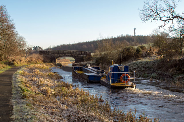
Surrounded by picturesque rolling hills, Old Reservoir is a popular spot for outdoor enthusiasts and nature lovers alike. The calm and peaceful atmosphere makes it an ideal destination for fishing, boating, and picnicking. The lake is well-known for its abundance of brown trout, attracting anglers from far and wide.

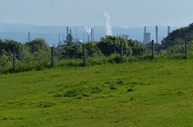
The surrounding vegetation consists of a mixture of reeds, grasses, and shrubs, creating a diverse habitat for wildlife. The freshwater marshes around the lake are home to a variety of bird species, including ducks, swans, and herons. Visitors can often observe these birds nesting and feeding along the water's edge.

The crystal-clear waters of Old Reservoir are fed by natural springs, ensuring a constant flow and maintaining a healthy ecosystem. The water quality is excellent, making it suitable for swimming and other recreational activities. The reservoir is also an important water source for the surrounding farms and communities.

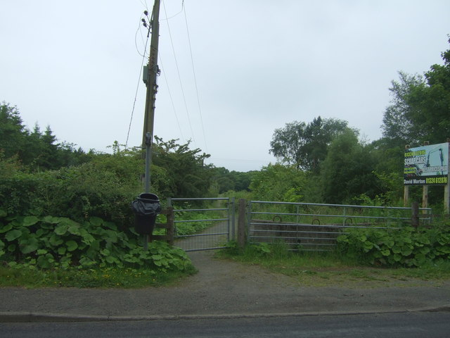
Old Reservoir is easily accessible, with ample parking and well-maintained walking trails. The tranquil setting, combined with its natural beauty and recreational opportunities, makes it a cherished destination for locals and tourists alike.

If you have any feedback on the listing, please let us know in the comments section below.

Old Reservoir Images

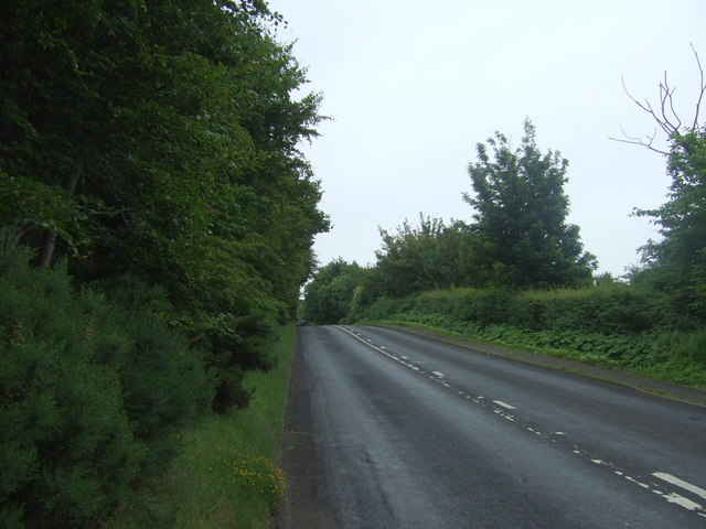
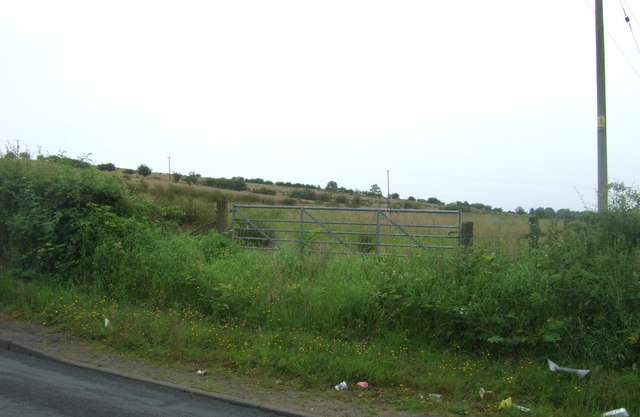
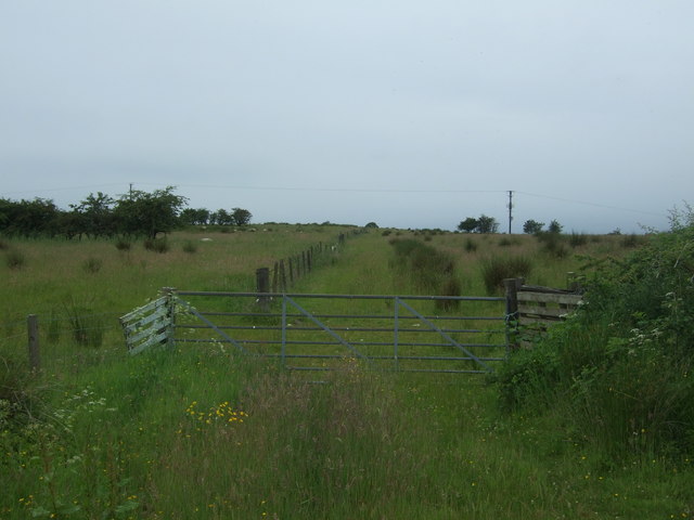
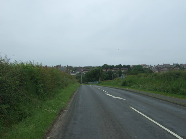
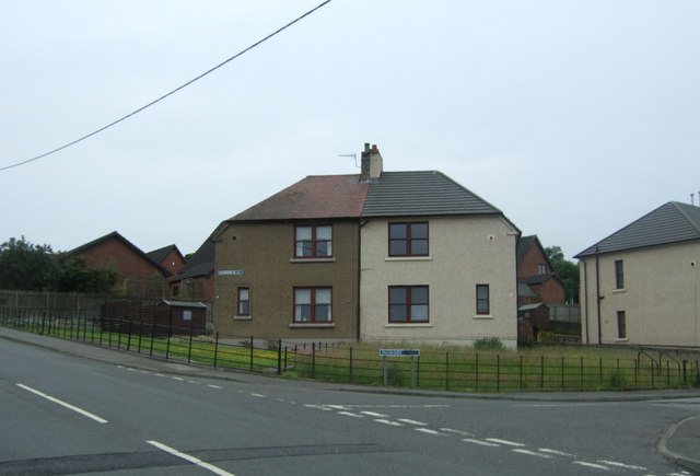
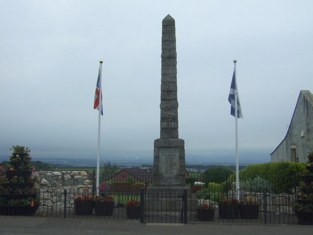
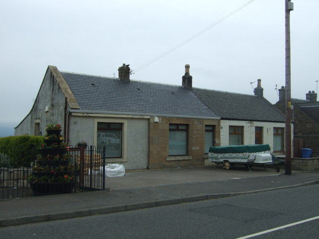
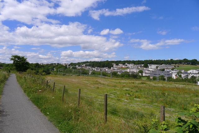
Images are sourced within 2km of 55.970333/-3.7588178 or Grid Reference NS9076. Thanks to Geograph Open Source API. All images are credited.

Huts Bridge No 59 Crossing the Union Canal near Hallglen, Falkirk.
Huts Bridge No 59
Crossing the Union Canal near Hallglen, Falkirk.
Path next to the Union Canal near Hallglen
Horse next to the Union Canal The houses are part of the Hallglen area of Falkirk.
Horse next to the Union Canal
The houses are part of the Hallglen area of Falkirk.
View towards the Grangemouth oil refinery
Breaking the ice on the Union Canal British Waterways maintenance boat 'Rosebank' breaks the thin ice as it heads east at Huts Bridge No.59 on the coldest day of this winter.
Breaking the ice on the Union Canal
British Waterways maintenance boat 'Rosebank' breaks the thin ice as it heads east at Huts Bridge No.59 on the coldest day of this winter.
Houses, Hallglen
Houses, Hallglen
Footpath off the B8028
B8028 towards Shieldhill Heading south east - cresting a hill.
B8028 towards Shieldhill
Heading south east - cresting a hill.
Field entrance off the B8028, Mavisbank
Gated track off the B8028, Shieldhill
B8028 towards Shieldhill Heading south east. The road drops down to the Westquarter Burn before rising sharply again into the village.
B8028 towards Shieldhill
Heading south east. The road drops down to the Westquarter Burn before rising sharply again into the village.
Shieldhill Convenience Store and Post Office On Main Street.
Shieldhill Convenience Store and Post Office
On Main Street.
Houses on Patterson Drive, Shieldhill
Bus stop on Main Street, Shieldhill Looking north east.
Bus stop on Main Street, Shieldhill
Looking north east.
Shieldhill War Memorial On Main Street.
Shieldhill War Memorial
On Main Street.
Houses on Main Street, Shieldhill
The Hallglen housing estate from the Union Canal Hallglen "comprises a public housing estate built in the early 1970s...the entire development comprises white-harled grey-roofed houses and maisonettes." <span class="nowrap"><a title="http://www.scottish-places.info/towns/townfirst2693.html" rel="nofollow ugc noopener" href="http://www.scottish-places.info/towns/townfirst2693.html">Link</a><img style="margin-left:2px;" alt="External link" title="External link - shift click to open in new window" src="https://s1.geograph.org.uk/img/external.png" width="10" height="10"/></span>
The Hallglen housing estate from the Union Canal
Hallglen "comprises a public housing estate built in the early 1970s...the entire development comprises white-harled grey-roofed houses and maisonettes." LinkExternal link
Old milemarker by the Union Canal, Falkirk Milemarker by the Union Canal, in parish of Falkirk (District), Falkirk.

Inscription reads:-
: 2(?) : : 29 :

Union Canal, including milemarkers, is a Scheduled Monument.
Reference: SM8952 <span class="nowrap"><a title="http://portal.historicenvironment.scot/designation/SM8952" rel="nofollow ugc noopener" href="http://portal.historicenvironment.scot/designation/SM8952">Link</a><img style="margin-left:2px;" alt="External link" title="External link - shift click to open in new window" src="https://s1.geograph.org.uk/img/external.png" width="10" height="10"/></span>

Surveyed

Milestone Society National ID: EUC-29
Old milemarker by the Union Canal, Falkirk
Milemarker by the Union Canal, in parish of Falkirk (District), Falkirk. Inscription reads:- : 2(?) : : 29 : Union Canal, including milemarkers, is a Scheduled Monument. Reference: SM8952 LinkExternal link Surveyed Milestone Society National ID: EUC-29
Show me another place!

Old Reservoir is located at Grid Ref: NS9076 (Lat: 55.970333, Lng: -3.7588178)

Unitary Authority: Falkirk

Police Authority: Forth Valley

What 3 Words

///poppy.square.sunset. Near Shieldhill, Falkirk

Related Wikis

California, Falkirk

California (Scottish Gaelic: Calafòrnia) is a former pit village in the Falkirk council area of Scotland. It lies between Shieldhill and Avonbridge on...
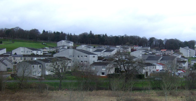
Shieldhill, Falkirk

Shieldhill is a village within the Falkirk council area in Central Scotland. The village is 2.0 miles (3.2 km) south-east of Falkirk, 2.4 miles (3.9 km...

Wallacestone

Wallacestone is a village in the area of Falkirk, central Scotland. It lies 1.5 miles (2.4 km) south-west of Polmont, 2.5 miles (4.0 km) south-east of...

Reddingmuirhead

Reddingmuirhead is a village located in Stirlingshire, Falkirk council area, Central Scotland. A few hundred yards uphill from the village of Redding,...

Nearby Amenities

Located within 500m of 55.970333,-3.7588178
Post Office
Addr Street: Main Street
Source: OS OpenData StreetView
Lat/Long: 55.9720454/-3.7654105
Post Box
Collection Times: Mo-Fr 09:00; Sa 07:00
Post Box Type: lamp
Ref: FK1 193D
Royal Cypher: scottish_crown
Lat/Long: 55.9671467/-3.7540041
Bus Stop
Bench: yes
Naptan AtcoCode: 66902880021
Naptan NaptanCode: 32525628
Shelter: yes
Lat/Long: 55.9671921/-3.7540407
Post Box
Brand: Royal Mail
Brand Wikidata: Q638098
Brand Wikipedia: en:Royal Mail
Collection Times: Mo-Fr 16:45; Sa 10:15
Operator: Royal Mail
Operator Wikidata: Q638098
Post Box Type: pillar
Ref: FK1 107
Royal Cypher: EVIIR
Royal Cypher Wikidata: Q33102324
Lat/Long: 55.9719117/-3.7654775
Mini Roundabout
Direction: clockwise
Source: survey
Lat/Long: 55.9676554/-3.7541322
Give Way
Direction: forward
Lat/Long: 55.9728913/-3.7606839
Noexit: yes
Lat/Long: 55.9731917/-3.7635176
Noexit: yes
Lat/Long: 55.9733485/-3.7626297
Man Made: tower
Tower Type: communication
Lat/Long: 55.9735236/-3.7574951
Addr Housenumber: 10
Addr Street: Rosemead Terrace
Lat/Long: 55.9684524/-3.7554899
Entrance: yes
Lat/Long: 55.9670909/-3.7533842
Give Way
Direction: backward
Lat/Long: 55.9726832/-3.761197
Power: pole
Lat/Long: 55.9664995/-3.7561439
Power: pole
Lat/Long: 55.9666884/-3.7573293
Power: pole
Lat/Long: 55.966819/-3.7581125
Power: pole
Lat/Long: 55.9676409/-3.7587625
Power: pole
Lat/Long: 55.968288/-3.7592875
Power: pole
Lat/Long: 55.9690272/-3.7598624
Power: pole
Lat/Long: 55.9697535/-3.7604311
Power: pole
Lat/Long: 55.9704949/-3.7610165
Power: pole
Lat/Long: 55.9713098/-3.7616769
Power: pole
Lat/Long: 55.971909/-3.7621519
Power: pole
Lat/Long: 55.9715692/-3.7601603
Power: pole
Lat/Long: 55.9718449/-3.7580084
Power: pole
Lat/Long: 55.9725164/-3.7568293
Power: pole
Lat/Long: 55.9728836/-3.7553107
Power: pole
Lat/Long: 55.9732578/-3.7537753
Power: pole
Lat/Long: 55.9704256/-3.754567
Power: pole
Lat/Long: 55.97026/-3.7554669
Power: pole
Lat/Long: 55.9701201/-3.7561731
Give Way
Direction: backward
Lat/Long: 55.9721103/-3.7644772
The data included in this document is from www.openstreetmap.org. The data is made available under ODbL.

Have you been to Old Reservoir?

Leave your review of Old Reservoir below (or comments, questions and feedback).