Ord Loch
Lake, Pool, Pond, Freshwater Marsh in Nairnshire
Scotland
Ord Loch
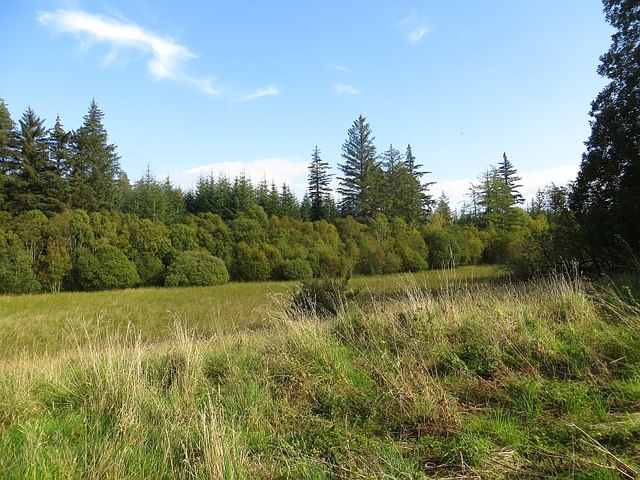
Ord Loch is a freshwater loch located in the county of Nairnshire, Scotland. Situated just east of the town of Nairn, it covers an area of approximately 1.5 hectares. The loch is surrounded by picturesque countryside, providing a serene and tranquil atmosphere for visitors.
The loch itself is characterized by its calm and still waters, reflecting the surrounding landscape. It is relatively shallow, with an average depth of around 2 meters. The water is clear and unpolluted, supporting a diverse range of aquatic flora and fauna.
The loch is a popular spot for fishing enthusiasts, offering opportunities to catch species such as brown trout and pike. Anglers can be seen casting their lines from the banks, hoping for a successful catch.
Surrounding the loch is a freshwater marsh, which provides a habitat for various wetland species. The marshland is characterized by its lush vegetation, including reeds, grasses, and sedges. This habitat attracts a variety of birdlife, making it an ideal location for birdwatching enthusiasts.
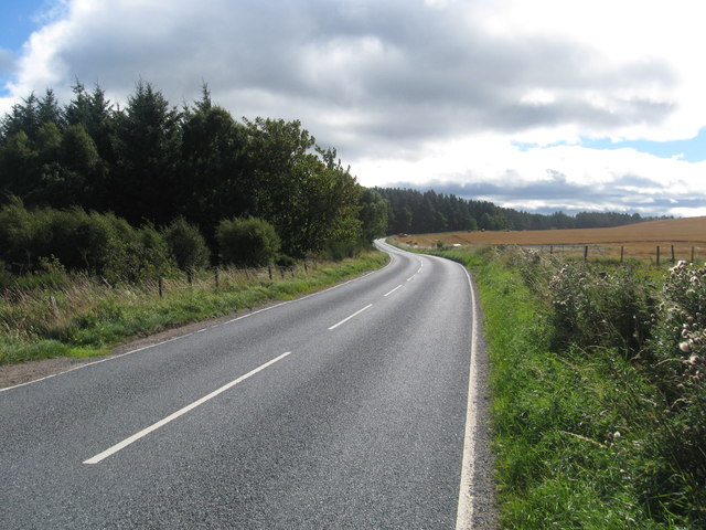
Access to Ord Loch is relatively easy, with a car park located nearby. The area is well-maintained, with pathways and benches for visitors to enjoy the scenic beauty of the loch. It is a popular destination for nature lovers, walkers, and those seeking a peaceful retreat from the hustle and bustle of everyday life.
Overall, Ord Loch is a charming freshwater loch that offers a range of recreational activities and serves as a haven for wildlife. Its idyllic setting and natural beauty make it a must-visit location in Nairnshire.
If you have any feedback on the listing, please let us know in the comments section below.
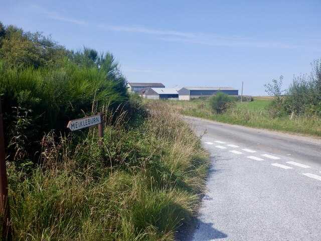
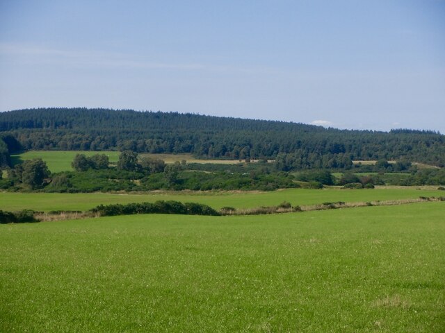
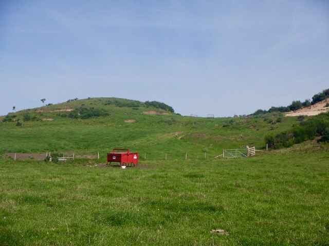
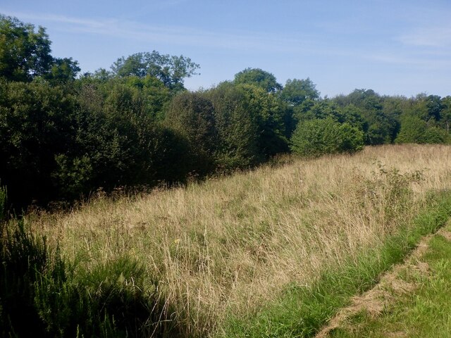
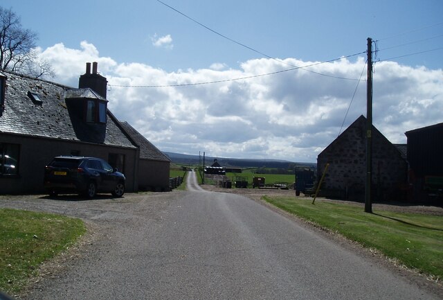
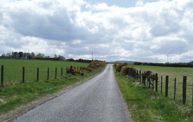
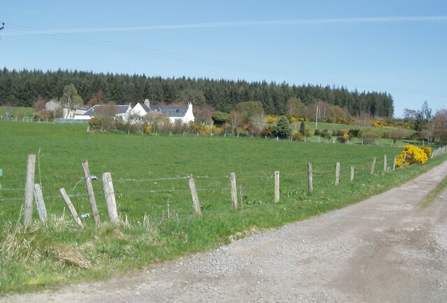
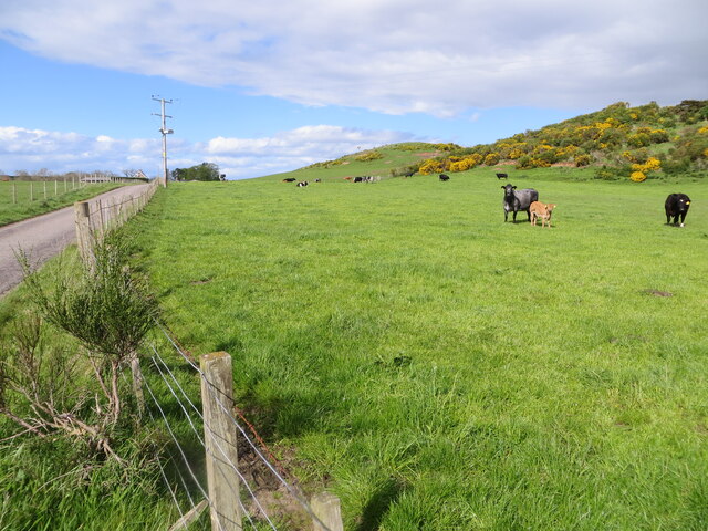
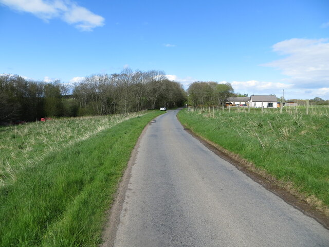
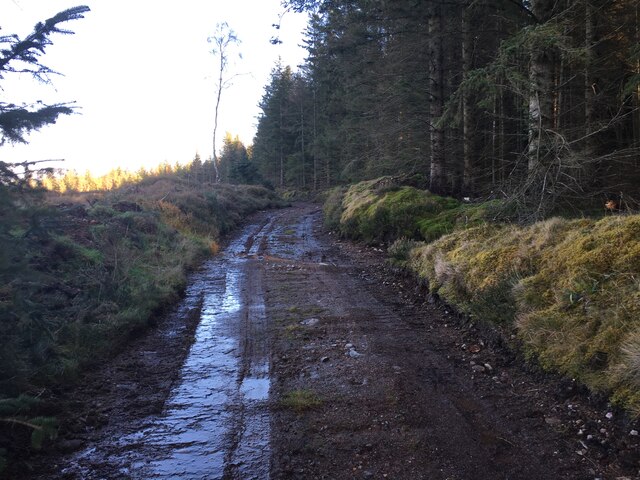
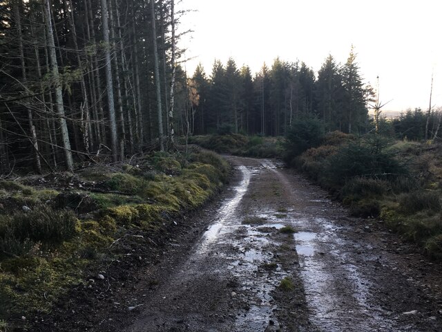
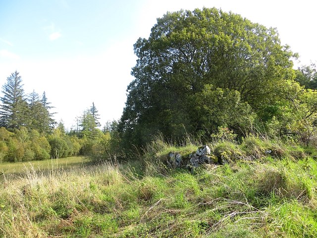
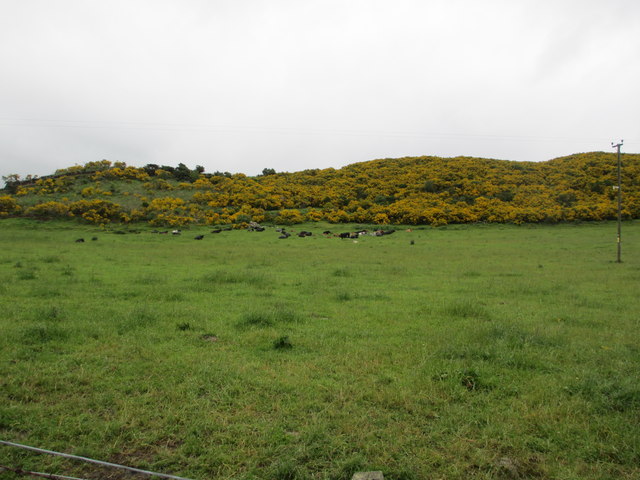
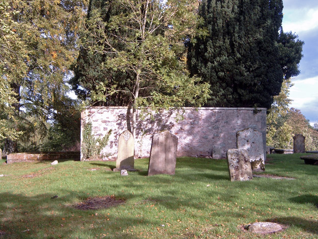
Ord Loch Images
Images are sourced within 2km of 57.526372/-3.8360189 or Grid Reference NH9049. Thanks to Geograph Open Source API. All images are credited.

Ord Loch is located at Grid Ref: NH9049 (Lat: 57.526372, Lng: -3.8360189)
Unitary Authority: Highland
Police Authority: Highlands and Islands
What 3 Words
///huts.outs.bagpipes. Near Nairn, Highland
Nearby Locations
Related Wikis
Geddes, Highland
Geddes (Scottish Gaelic: Geadais) is a small village located 5 km to the south of Nairn, in the Highland council area of Scotland. == Geddes House == Geddes...

Regoul
Regoul is a small rural hamlet, located 4.5 miles south of Nairn, in Nairnshire, Scottish Highlands and is in the Scottish council area of Highland....

Rait Castle
Rait Castle is a ruined hall-house castle dating from the thirteenth century, situated just south of Nairn near Inverness, Scotland. It is a scheduled...

Littlemill
Littlemill is a village located close to Nairn in Nairnshire, Scottish Highlands and is in the Scottish council area of Highland. == References ==

County of Nairn
The County of Nairn (also called Nairnshire) (Scottish Gaelic: Siorrachd Inbhir Narann) is a historic county, registration county and lieutenancy area...
Geddes House
The Geddes House is a Georgian Neoclassical style building near Nairn, Scotland. It was built in 1780 for George Mackintosh and is currently self-catering...
Piperhill
Piperhill is a village, located four miles south of Nairn in Nairnshire, Scottish Highlands and is in the Scottish council area of Highland.
Culcharry
Culcharry is a small residential settlement, close to the village of Cawdor and the hamlet of Brackla, lying 4 miles southwest of Nairn, in Nairnshire...
Have you been to Ord Loch?
Leave your review of Ord Loch below (or comments, questions and feedback).