Lintmill Pool
Lake, Pool, Pond, Freshwater Marsh in Dumfriesshire
Scotland
Lintmill Pool
Lintmill Pool is a picturesque freshwater marsh located in the county of Dumfriesshire, Scotland. Nestled within the scenic countryside, this tranquil pool offers a haven for wildlife and a peaceful retreat for visitors seeking natural beauty.
Covering an area of approximately 10 acres, Lintmill Pool is a shallow body of water with a maximum depth of around 6 feet. The pool is surrounded by lush vegetation, including reeds, rushes, and water lilies, which provide a vital habitat for a diverse range of plant and animal species.
The pool is home to a variety of waterfowl, such as mallards, coots, and swans, which can often be seen gracefully gliding across the water or nesting along the pool's edges. Additionally, the marshy areas surrounding the pool attract a multitude of insects, amphibians, and small mammals, making it a thriving ecosystem.
Visitors to Lintmill Pool can enjoy a peaceful stroll along the well-maintained footpaths that meander through the surrounding wetlands. The pool is a popular destination for birdwatching enthusiasts, who can observe the numerous species that call this area home.
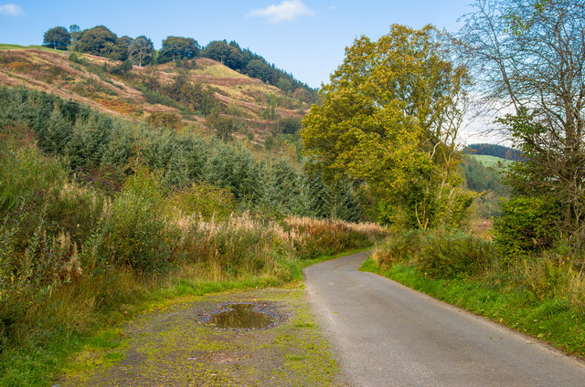
The natural beauty of Lintmill Pool is further enhanced by the stunning backdrop of rolling hills and woodlands. The pool's tranquil waters reflect the changing colors of the surrounding foliage, creating a picturesque scene that is particularly breathtaking during the autumn months.
Overall, Lintmill Pool is a hidden gem in Dumfriesshire, offering a serene and idyllic setting for both nature enthusiasts and those seeking a peaceful escape from the bustle of everyday life.
If you have any feedback on the listing, please let us know in the comments section below.
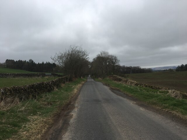
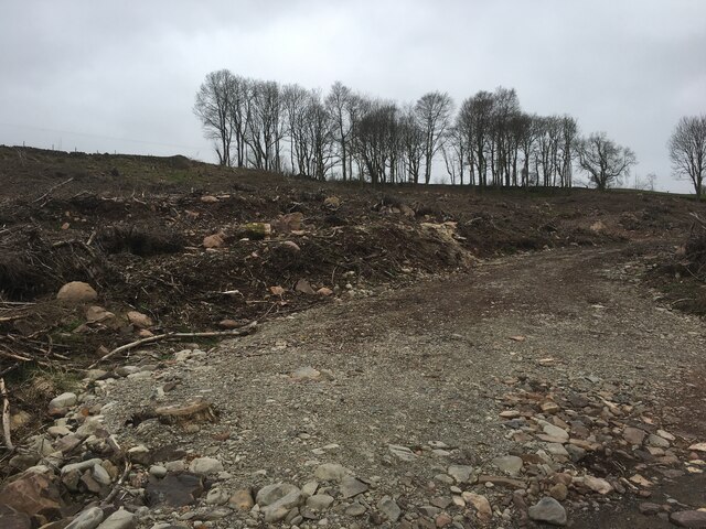
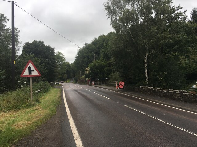
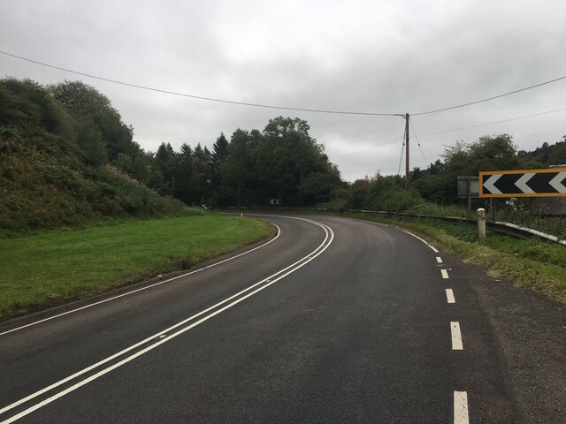
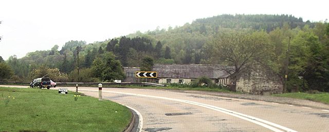
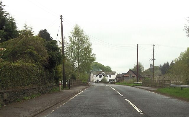
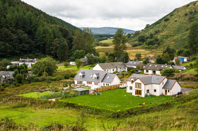
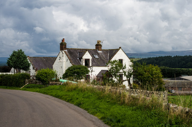
Lintmill Pool Images
Images are sourced within 2km of 55.17636/-3.726436 or Grid Reference NX9088. Thanks to Geograph Open Source API. All images are credited.


Lintmill Pool is located at Grid Ref: NX9088 (Lat: 55.17636, Lng: -3.726436)
Unitary Authority: Dumfries and Galloway
Police Authority: Dumfries and Galloway
What 3 Words
///bungalows.caressing.haggling. Near Thornhill, Dumfries & Galloway
Nearby Locations
Related Wikis

Barburgh Mill
Barburgh Mill is a hamlet composed of an old lint mill, later extended as a woollen mill and associated buildings which lies north of Auldgirth on the...

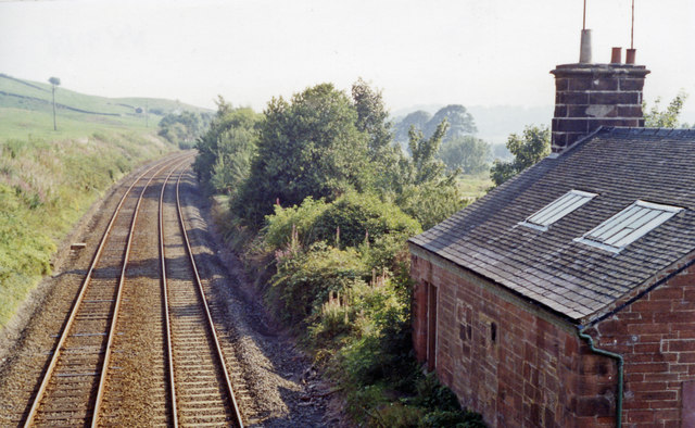
Auldgirth railway station
Auldgirth railway station was a station which served Auldgirth, in the Scottish county of Dumfries and Galloway. It was served by trains on what is now...
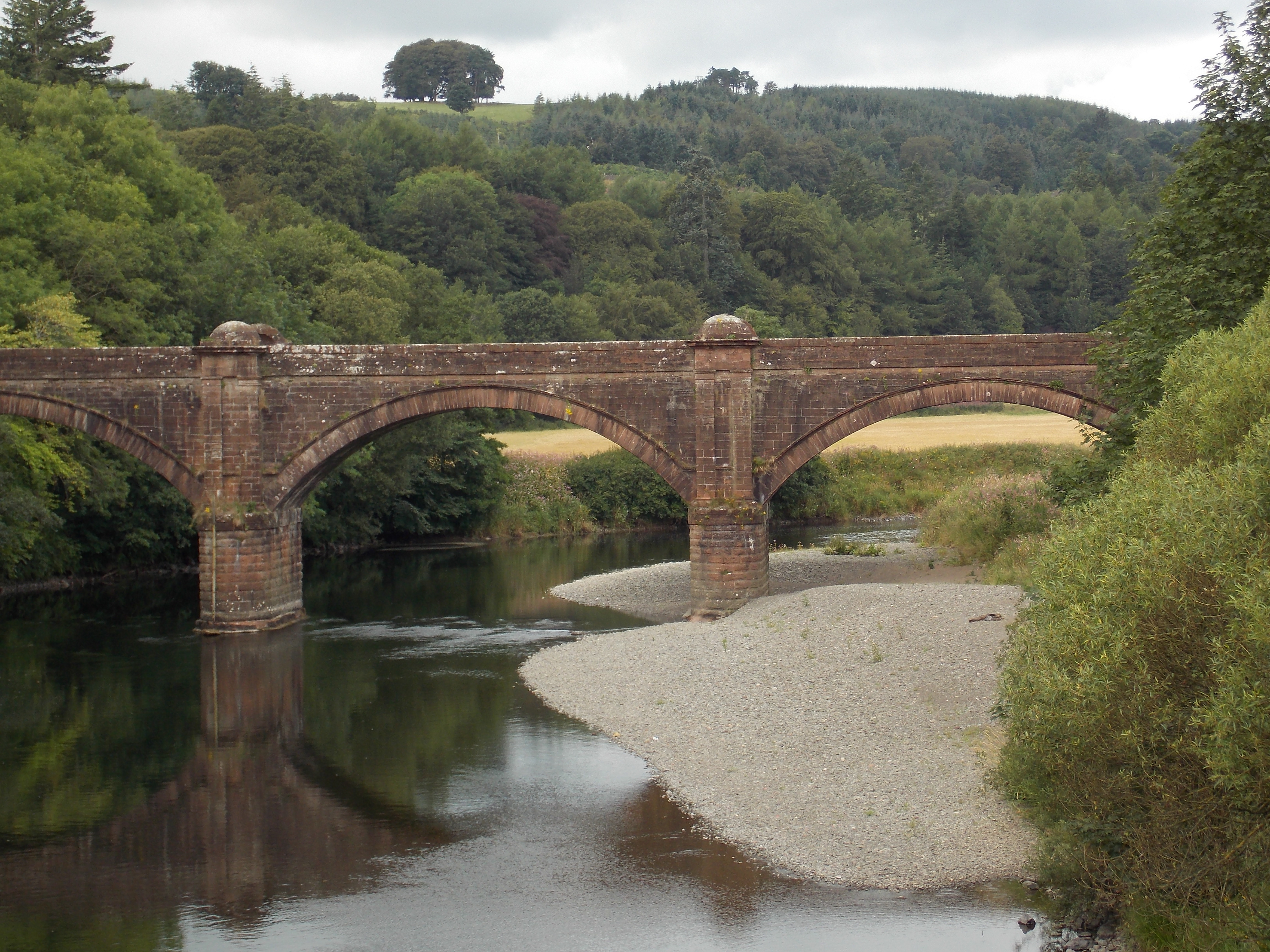
Auldgirth Bridge
Auldgirth Bridge is a bridge over the River Nith just outside Auldgirth in Dumfries and Galloway, Scotland. Designed by David Henderson of Edinburgh in...
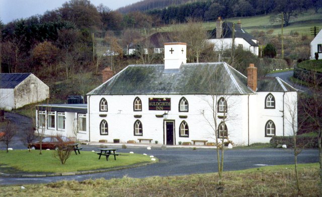
Brownhill Inn
Brownhill Inn, now just called Brownhill (NX 902 911), was an inn approximately 1 mile (1.6 km) mile south of Closeburn, on the A76, which itself is about...
Barjarg Tower
Barjarg Tower is an L-plan tower house probably dating from 1680, four miles south-east of Penpont, Dumfriesshire, Scotland. It is attached to a 19th...
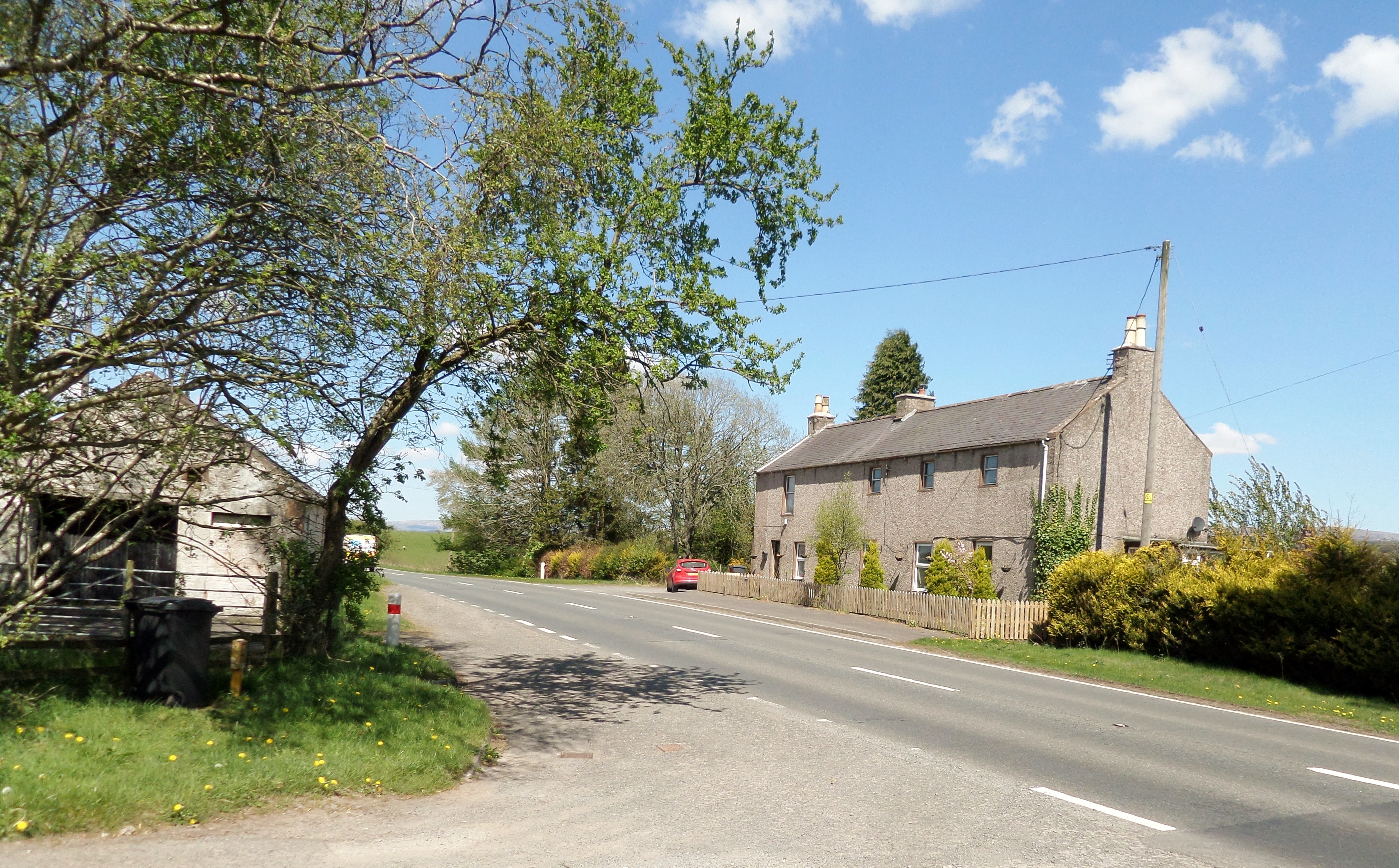
Auldgirth
Auldgirth is a village on the A76 road in Dumfries and Galloway, Scotland. Auldgirth village features 'The Auldgirth Inn' and the former Auldgirth Primary...

Closeburn Castle
Closeburn Castle is a privately owned tower house, probably of the 14th century, but possibly older, and is one of the oldest continually inhabited houses...
Carse Loch
Carse Loch is situated (NX 926 849) in a low-lying area, surrounded by woodland, close to the A76 at Friar's Carse, in Dumfries and Galloway, Parish of...
Nearby Amenities
Located within 500m of 55.17636,-3.726436Have you been to Lintmill Pool?
Leave your review of Lintmill Pool below (or comments, questions and feedback).