Almondbank

Settlement in Perthshire

Scotland

Almondbank

Geddes Avenue, Bertha Park Bertha Park is a large residential housing development on the northwest of Perth.
Geddes Avenue, Bertha Park Credit: Richard Webb

Almondbank is a small village located in Perthshire, Scotland. Situated approximately five miles west of the city of Perth, it is nestled in the picturesque countryside of the region. The village can be accessed via the A9 road, making it easily reachable for both residents and visitors.

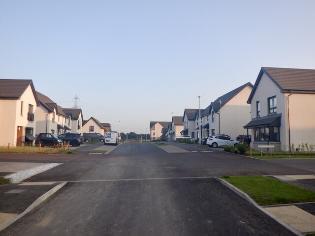
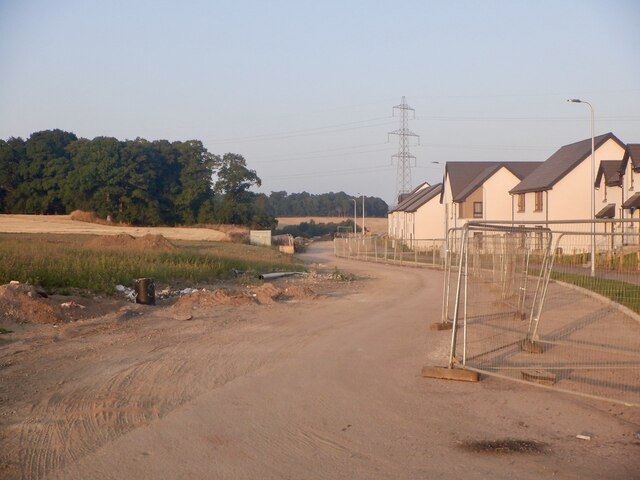
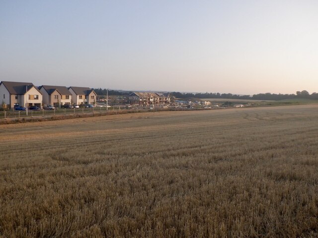
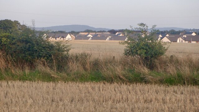
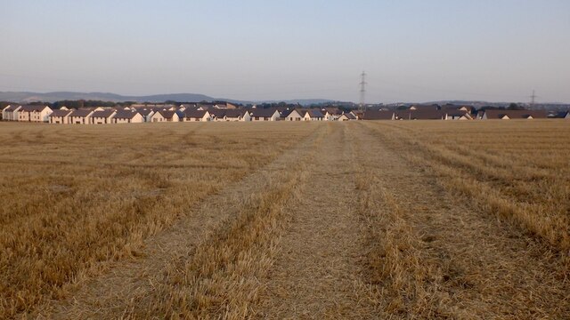
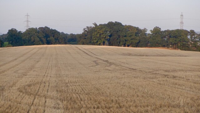
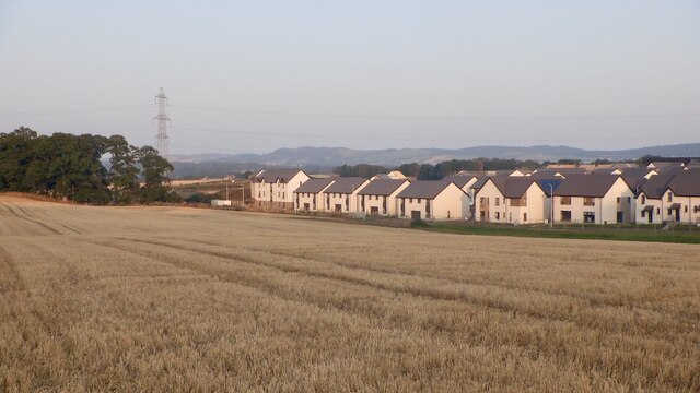
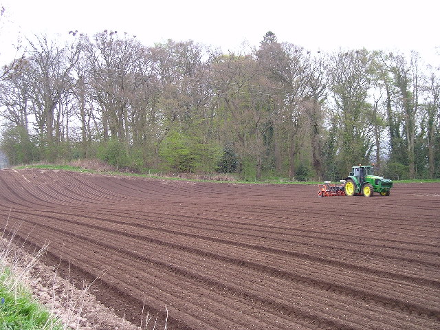
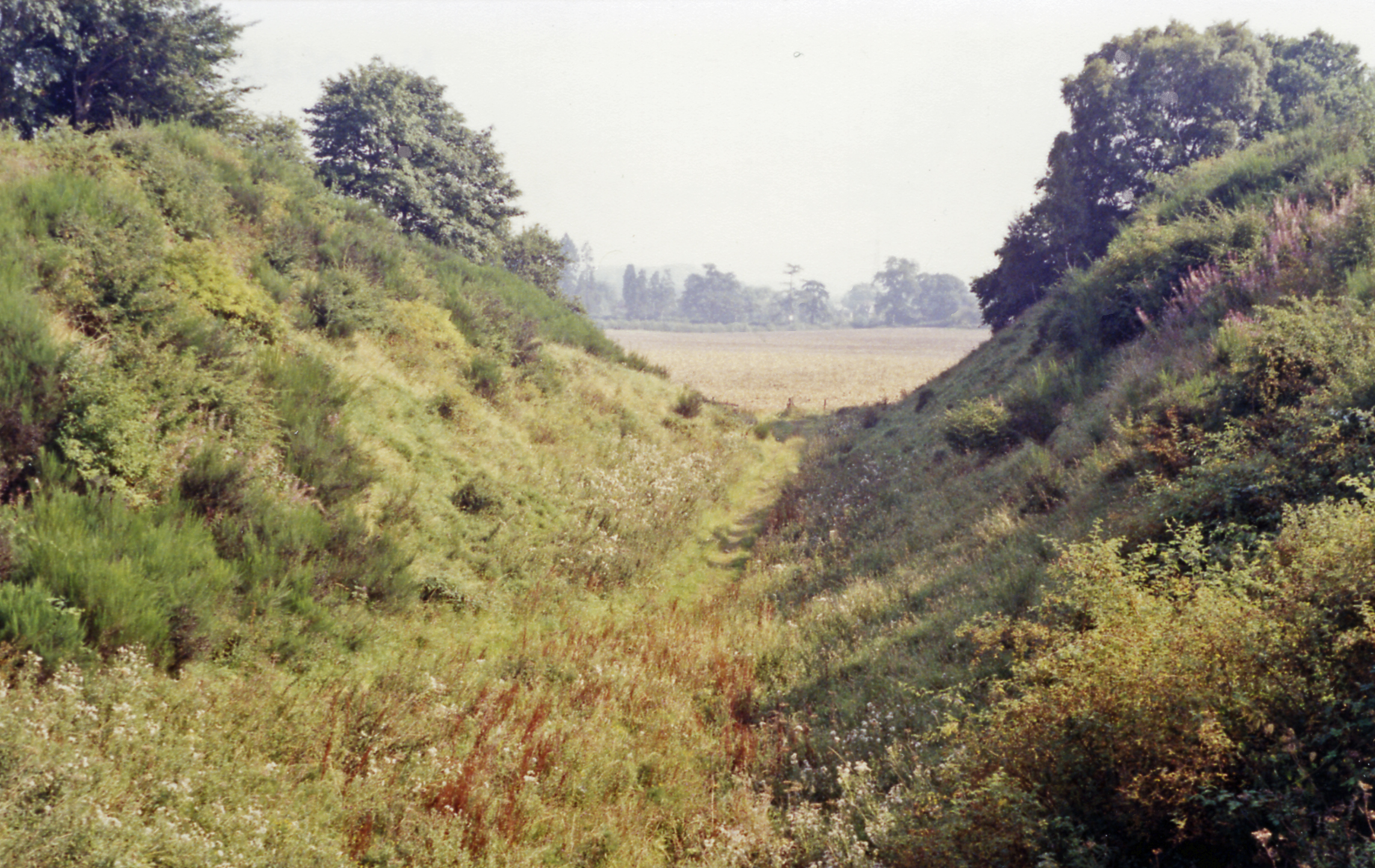
The history of Almondbank dates back to the 17th century, and it was initially known for its paper mills and weaving industry. Today, the village retains its charm with a mix of traditional stone-built houses and newer developments. The surrounding countryside offers stunning views, with the River Almond flowing nearby and the Ochil Hills visible in the distance.

Almondbank offers a range of amenities for its residents. There is a primary school located within the village, providing education for local children. The village also has a community center that hosts various activities and events, bringing the community together.

For outdoor enthusiasts, Almondbank is a great base for exploring the scenic Perthshire countryside. There are several walking and cycling trails in the area, allowing visitors to appreciate the natural beauty of the region. Fishing is also popular, with the River Almond offering opportunities to catch salmon and trout.

Overall, Almondbank is a charming village in Perthshire, offering a peaceful and picturesque setting for residents and visitors alike. With its rich history, stunning surroundings, and range of amenities, it is a place that captures the essence of rural Scotland.

If you have any feedback on the listing, please let us know in the comments section below.
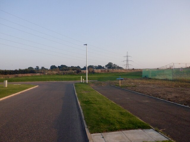
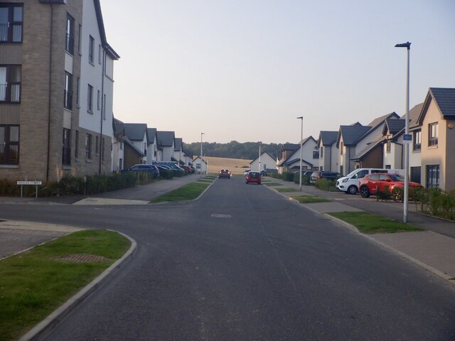
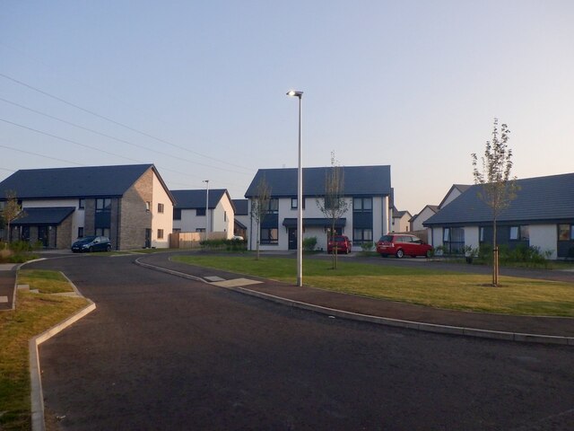
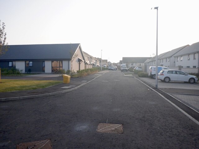
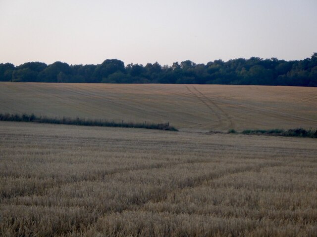
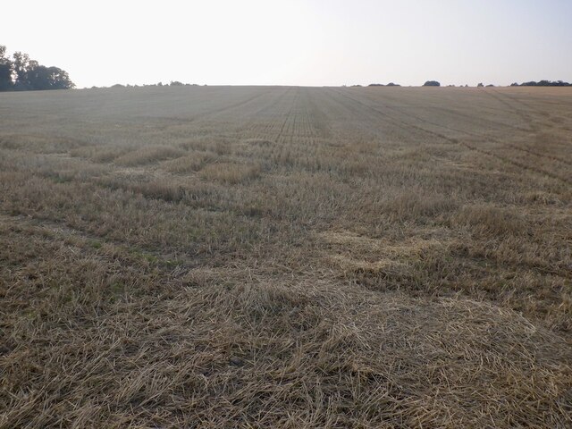
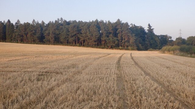
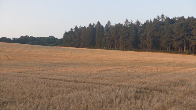
Almondbank Images

Images are sourced within 2km of 56.419679/-3.516612 or Grid Reference NO0626. Thanks to Geograph Open Source API. All images are credited.

Geddes Avenue, Bertha Park Bertha Park is a large residential housing development on the northwest of Perth.
Geddes Avenue, Bertha Park
Bertha Park is a large residential housing development on the northwest of Perth.
Geddes Avenue, Bertha Park Bertha Park is a large residential housing development on the northwest of Perth. The background fields will also be built upon.
Geddes Avenue, Bertha Park
Bertha Park is a large residential housing development on the northwest of Perth. The background fields will also be built upon.
Gib Place, Bertha Park Bertha Park is a large residential housing development on the northwest of Perth.
Gib Place, Bertha Park
Bertha Park is a large residential housing development on the northwest of Perth.
Gib Place, Bertha Park Bertha Park is a large residential housing development on the northwest of Perth.
Gib Place, Bertha Park
Bertha Park is a large residential housing development on the northwest of Perth.
Green Street, Bertha Park Bertha Park is a large residential housing development on the northwest of Perth.
Green Street, Bertha Park
Bertha Park is a large residential housing development on the northwest of Perth.
Current edge of Bertha Park There is a road between the houses and a barley field. At the time there was a gap in the Heras fencing, presumably to allow harvesting, perhaps the last harvest here and I was able to gain access to the stubble.
Current edge of Bertha Park
There is a road between the houses and a barley field. At the time there was a gap in the Heras fencing, presumably to allow harvesting, perhaps the last harvest here and I was able to gain access to the stubble.
Edge of Bertha Park - 2021 Looking across barley stubble in a field that is almost certainly going to be built upon to the current edge of the massive Berth Park housing development in Perth.
Edge of Bertha Park - 2021
Looking across barley stubble in a field that is almost certainly going to be built upon to the current edge of the massive Berth Park housing development in Perth.
Barley stubble, Bertha Park Will there be another harvest here? The house builders are close by.
Barley stubble, Bertha Park
Will there be another harvest here? The house builders are close by.
Barley stubble, Bertha Park Will there be another harvest here? The house builders are close by.
Barley stubble, Bertha Park
Will there be another harvest here? The house builders are close by.
Stubble, Bertha Park Will there be another harvest here? The house builders are close by.
Stubble, Bertha Park
Will there be another harvest here? The house builders are close by.
Stubble, Bertha Park Will there be another harvest here? The house builders are close by.
Stubble, Bertha Park
Will there be another harvest here? The house builders are close by.
Stubble, Bertha Park Looking across barley stubble in a field that is almost certainly going to be built upon
Stubble, Bertha Park
Looking across barley stubble in a field that is almost certainly going to be built upon
Stubble and boundary, Bertha Park Looking towards some of the new houses with more to come on these fields.
Stubble and boundary, Bertha Park
Looking towards some of the new houses with more to come on these fields.
Stubble, Bertha Park Looking towards some of the new houses with more to come on these fields.
Stubble, Bertha Park
Looking towards some of the new houses with more to come on these fields.
Stubble, Bertha Park Looking across barley stubble in a field that is almost certainly going to be built upon
Stubble, Bertha Park
Looking across barley stubble in a field that is almost certainly going to be built upon
Bertha Park Looking towards some of the new houses with more to come on these fields.
Bertha Park
Looking towards some of the new houses with more to come on these fields.
Spring Sowing This picture shows the field at the east of the Bridgeton Housing estate being sown with turnips.
Spring Sowing
This picture shows the field at the east of the Bridgeton Housing estate being sown with turnips.
The Green, Pitcairngreen This picture shows part of "The Green" with the cairn built to commemorate the planting of trees to mark the Queens coronation.
The Green, Pitcairngreen
This picture shows part of "The Green" with the cairn built to commemorate the planting of trees to mark the Queens coronation.
Show me another place!

Almondbank is located at Grid Ref: NO0626 (Lat: 56.419679, Lng: -3.516612)

Unitary Authority: Perth and Kinross

Police Authority: Tayside

What 3 Words

///flinches.waistcoat.dozens. Near Almondbank, Perth & Kinross

Nearby Locations

Almondbank

Related Wikis

Almondbank

Almondbank is a village in Perth and Kinross, Scotland, about 4+1⁄2 miles (7 kilometres) northwest of Perth. With the building of Royal Naval Aircraft...

Pitcairngreen

Pitcairngreen (pronounced 'Pit-cairn Green') is a hamlet in the Scottish council area of Perth and Kinross which is more or less adjoined to the much larger...

Almondbank railway station

Almondbank railway station served the village of Almondbank, in the Scottish county of Perth and Kinross. == History == Opened on 1 January 1858 by the...

RAF Methven

Royal Air Force Methven, or more simply RAF Methven, was a World War 2 Royal Air Force Satellite Landing Ground (SLG) located 1.6 miles (2.6 km) south...

Nearby Amenities

Located within 500m of 56.419679,-3.516612
Almondbank
Place: village
Population: 1440
Source: npe
Wikidata: Q1014075
Wikipedia: en:Almondbank
Lat/Long: 56.4181974/-3.5160054
Post Office
Almondbank Post Office
Addr Postcode: PH1 3NJ
Branch: Almondbank
Brand: Post Office
Brand Wikidata: Q1783168
Check Date: 2020-02-20
Disused Amenity: post_office
Ref Pol Id: 6059
Website: https://www.postoffice.co.uk/branch-finder/1898205/almondbank
Lat/Long: 56.4165421/-3.5166284
College Mill
1860name: none
Pont: no
Stobie1783: no
Designation: Historic Mill
Historic: archaeological_site
Source: RCAHMS
Lat/Long: 56.4178819/-3.5155627
Woodend
1860name: Beetling Mill
Pont: no
Stobie1783: yes
Designation: Historic Mill
Historic: archaeological_site
Source: OS Six inch First Series
Lat/Long: 56.4221426/-3.521206
Post Box
Collection Times: Mo-Fr 09:00; Sa 07:00
Manufacturer: Machan Scotland
Operator: Royal Mail
Post Box Mounting: pier
Post Box Type: lamp
Ref: PH1 221D
Royal Cypher: scottish_crown
Source: survey;local knowledge
Lat/Long: 56.420284/-3.516415
Post Box
Collection Times: Mo-Fr 16:00; Sa 11:45
Manufacturer: Abbot Engineering
Operator: Royal Mail
Operator Wikidata: Q638098
Post Box Mounting: pier
Post Box Type: lamp
Ref: PH1 133
Royal Cypher: scottish_crown
Source: survey;local knowledge
Lat/Long: 56.4165466/-3.5167117
Booth: K6
Removed Amenity: telephone
Source: survey
Lat/Long: 56.4173805/-3.5171974
Turning Circle
Lat/Long: 56.4158276/-3.5138498
Woodend
Place: locality
Lat/Long: 56.4218425/-3.5221707
Braehead
Place: locality
Lat/Long: 56.4224234/-3.5183512
Power: pole
Lat/Long: 56.4216714/-3.5144437
Power: pole
Lat/Long: 56.4220794/-3.514859
Power: pole
Lat/Long: 56.4227261/-3.5146732
Power: pole
Lat/Long: 56.4233768/-3.5144911
Power: pole
Lat/Long: 56.423961/-3.5143526
Power: pole
Lat/Long: 56.4221641/-3.5109231
Power: pole
Lat/Long: 56.419156/-3.5090271
Power: pole
Lat/Long: 56.4196416/-3.5097083
Power: pole
Lat/Long: 56.4201493/-3.510455
Power: pole
Lat/Long: 56.4206318/-3.5111635
Power: pole
Lat/Long: 56.4214146/-3.5110342
Power: pole
Lat/Long: 56.4228331/-3.5187176
Power: pole
Lat/Long: 56.4220741/-3.5179039
Power: pole
Lat/Long: 56.4189444/-3.5192521
Power: pole
Lat/Long: 56.4191439/-3.5201845
Power: pole
Lat/Long: 56.4196329/-3.5208971
Power: pole
Lat/Long: 56.420533/-3.5219219
Generator Method: photovoltaic
Generator Output Electricity: yes
Generator Source: solar
Generator Type: solar_photovoltaic_panel
Power: generator
Lat/Long: 56.4180742/-3.5143475
Almondbank
Bicycle: yes
Hiking: yes
Information: guidepost
Mtb: yes
Tourism: information
Lat/Long: 56.4210688/-3.5090254
Crossing
Crossing: uncontrolled
Crossing Markings: yes
Lat/Long: 56.417534/-3.5171899
The data included in this document is from www.openstreetmap.org. The data is made available under ODbL.

Have you been to Almondbank?

Leave your review of Almondbank below (or comments, questions and feedback).