Alminstone Cross
Settlement in Devon Torridge
England
Alminstone Cross

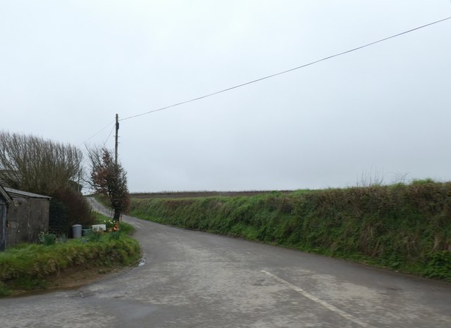
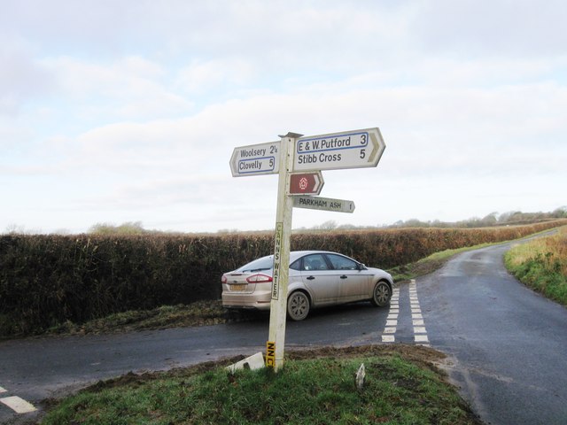
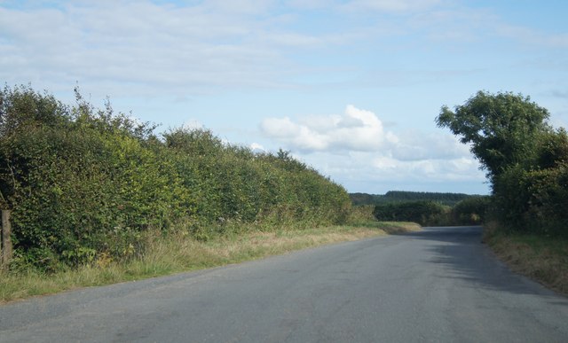
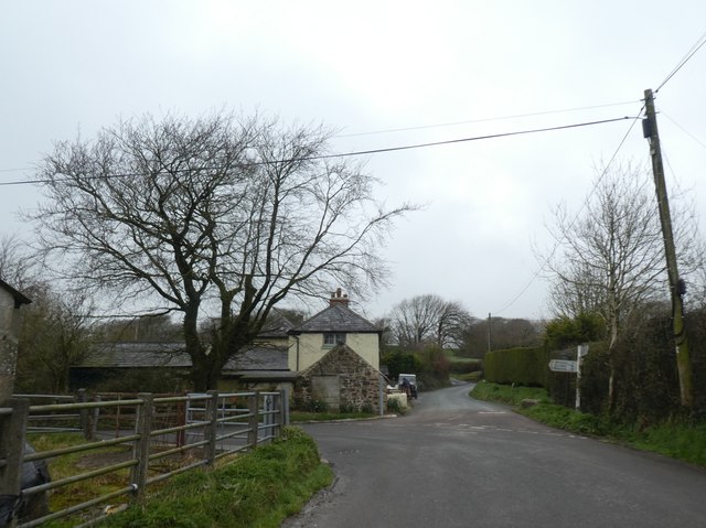
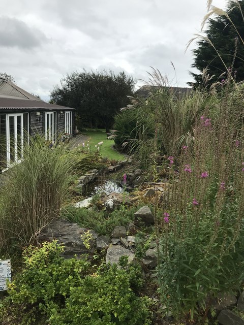
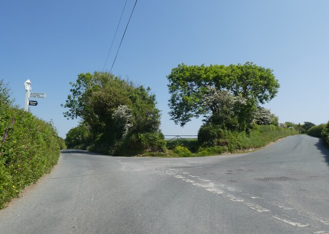
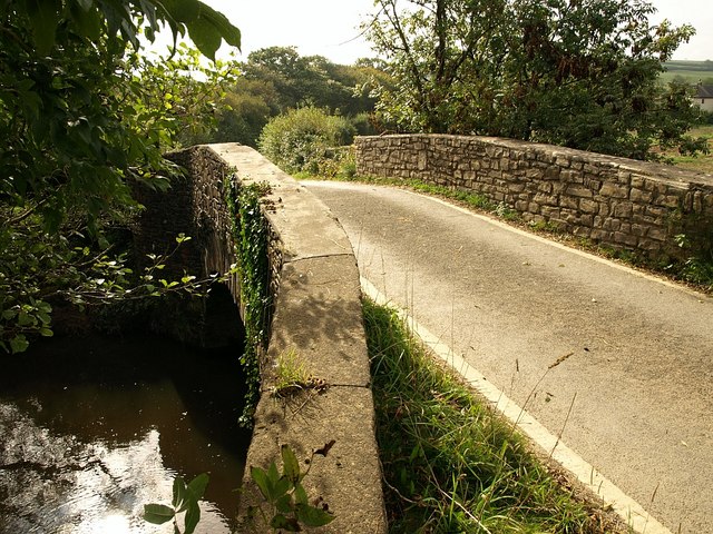
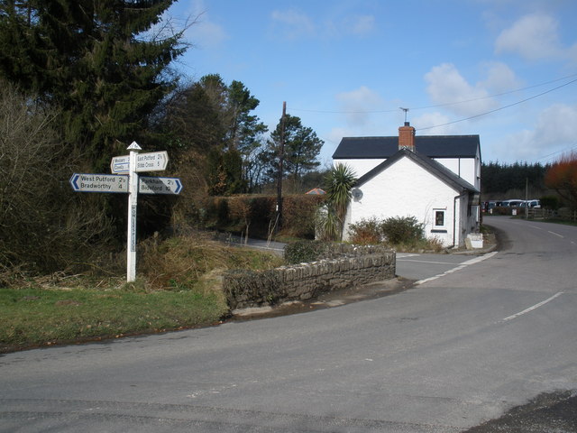
Alminstone Cross is a small hamlet located in the county of Devon, England. Situated in the picturesque countryside, it is surrounded by rolling hills, lush green fields, and dense woodlands. The hamlet is nestled in the heart of the North Devon Area of Outstanding Natural Beauty, making it an ideal destination for nature lovers and outdoor enthusiasts.
The focal point of Alminstone Cross is its historic stone cross, which stands prominently at the center of the hamlet. Dating back to the medieval period, the cross is believed to have been erected as a wayside marker or as a religious symbol. It is a fine example of ancient stone craftsmanship and is well-preserved, showcasing intricate carvings and detailing.
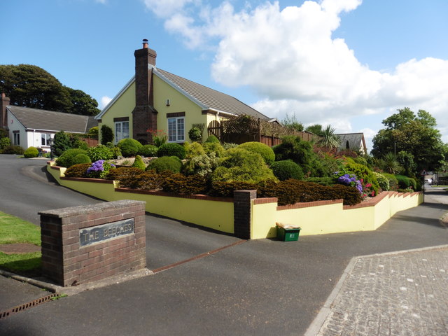
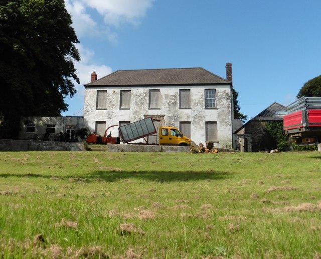
The hamlet itself comprises a scattering of traditional stone cottages and farmhouses, adding to its charming rural character. The local community is tight-knit and welcoming, with a strong sense of community spirit.
Alminstone Cross is a haven for those seeking tranquility and an escape from the hustle and bustle of modern life. The area offers numerous walking and hiking trails, allowing visitors to explore the stunning countryside and enjoy breathtaking views. Additionally, the nearby Tarka Trail offers a popular route for cyclists, stretching for miles along the beautiful River Torridge.
Overall, Alminstone Cross is a hidden gem in the Devon countryside, offering a peaceful retreat and a glimpse into the region's rich history and natural beauty.
If you have any feedback on the listing, please let us know in the comments section below.
Alminstone Cross Images
Images are sourced within 2km of 50.956597/-4.353881 or Grid Reference SS3420. Thanks to Geograph Open Source API. All images are credited.
Alminstone Cross is located at Grid Ref: SS3420 (Lat: 50.956597, Lng: -4.353881)
Administrative County: Devon
District: Torridge
Police Authority: Devon and Cornwall
What 3 Words
///inversion.shredding.cheered. Near Bideford, Devon
Nearby Locations
Related Wikis
Alminstone Cross
Alminstone Cross is a village in Devon, England. == References == Media related to Alminstone Cross at Wikimedia Commons
Woolfardisworthy, Torridge
Woolfardisworthy is a village and civil parish in the Torridge district of Devon, England. The village is accessible via the A39 road, 2 miles (3 km) from...
Ashmansworthy
Ashmansworthy is a village in Devon, England. Recorded in the Domesday Book, it was in the hundred of Hartland. == References == == External links... ==
Lynbarn Railway
The 1 ft 11+1⁄2 in (597 mm) narrow gauge Lynbarn Railway opened in 1995 as a park ride at the Milky Way Adventure Park, a family-based theme park attraction...
The Milky Way (amusement park)
The Milky Way Adventure Park (Downland Farm) is an amusement park in North Devon. It was named as Devon's Large Attraction of the Year by Visit Devon in...
Bucks Mills
Bucks Mills is a small English village within the parish of Woolfardisworthy on the north coast of Devon. It was anciently the mill of the manor of Bucks...
East Putford
East Putford is a small settlement and civil parish in the local government district of Torridge, Devon, England. The parish, which lies about halfway...
Bocombe
Bocombe is a village in Devon, England.
Nearby Amenities
Located within 500m of 50.956597,-4.353881Have you been to Alminstone Cross?
Leave your review of Alminstone Cross below (or comments, questions and feedback).
