Almington
Settlement in Staffordshire Newcastle-under-Lyme
England
Almington
Almington is a small village located in the county of Staffordshire, England. Situated in the northern part of the county, it is nestled amidst picturesque countryside, offering stunning views and a tranquil atmosphere. Almington is part of the Staffordshire Moorlands district and falls within the civil parish of Ashley.
The village is home to a close-knit community, with a population of around 200 residents. It is renowned for its strong sense of community spirit and friendly locals. The village primarily consists of traditional stone-built houses, giving it a charming and timeless character.
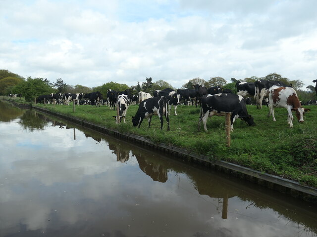
Almington is surrounded by lush green fields and rolling hills, making it an ideal destination for nature enthusiasts and outdoor lovers. The area offers numerous walking and cycling paths, allowing visitors to explore the stunning Staffordshire Moorlands and enjoy the peaceful surroundings.
Although small in size, Almington is conveniently located near several larger towns and cities. The market town of Market Drayton is just a short drive away, offering a range of amenities including shops, restaurants, and leisure facilities. The city of Stoke-on-Trent is also within easy reach, providing residents with access to further services and employment opportunities.
Overall, Almington is a charming and idyllic village that offers a peaceful and close-knit community, surrounded by beautiful countryside. Its convenient location and natural beauty make it a desirable place to live for those seeking a tranquil rural lifestyle.
If you have any feedback on the listing, please let us know in the comments section below.
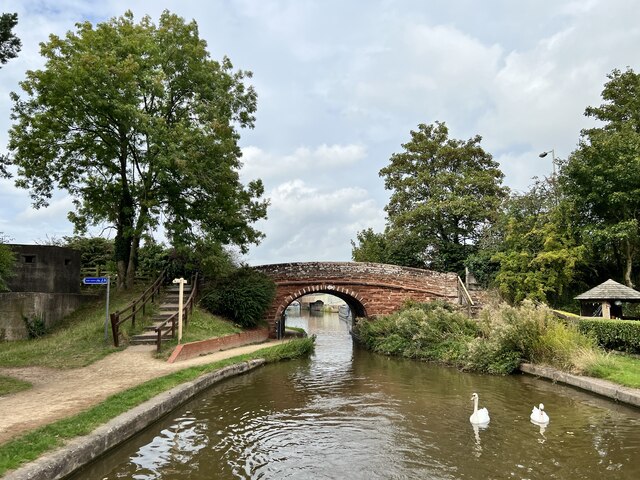
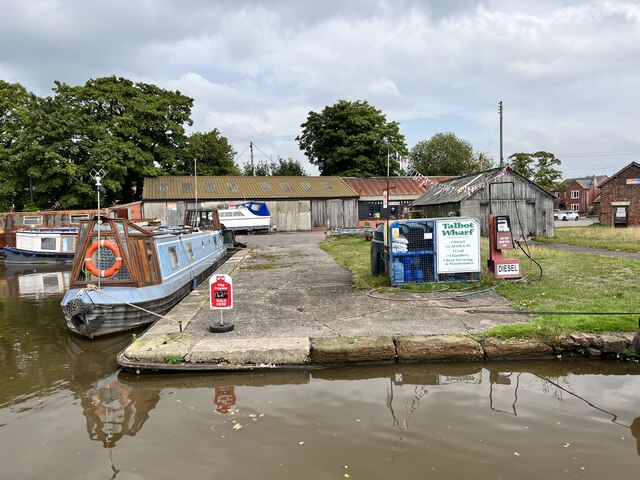
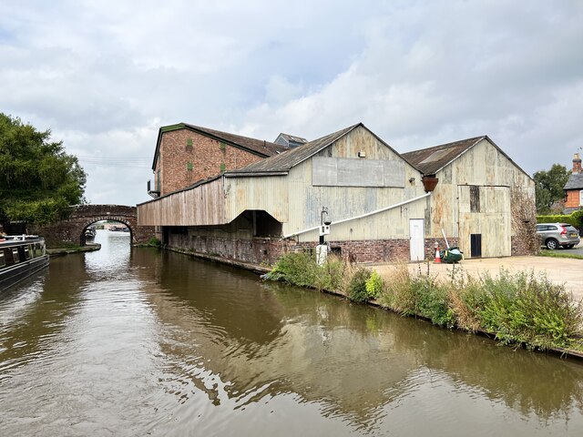
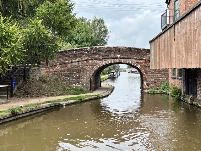
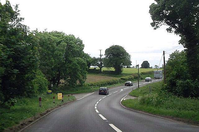
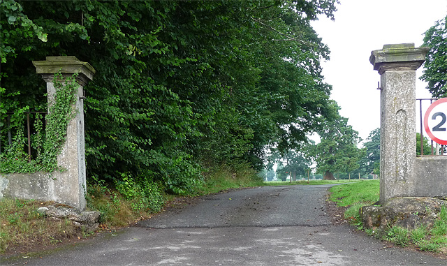
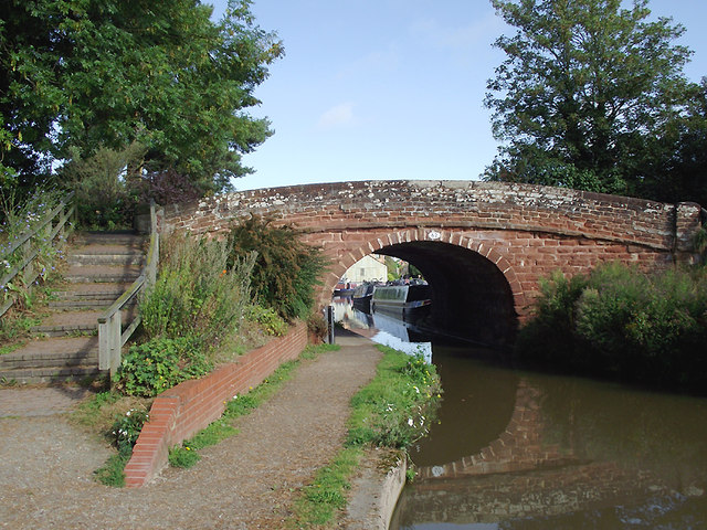
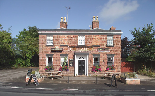
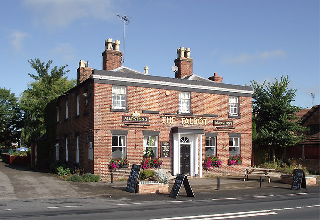
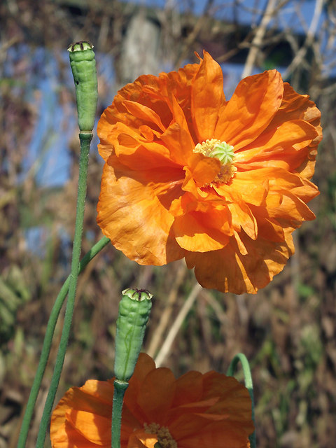
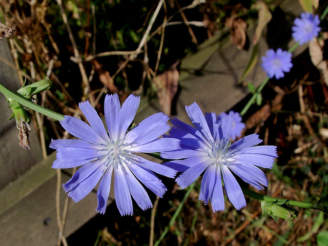
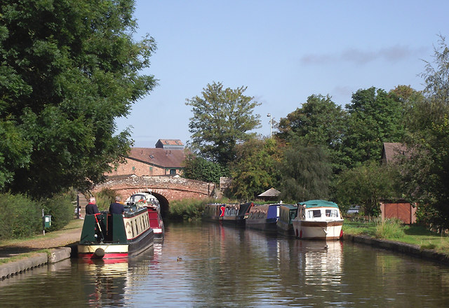
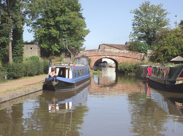
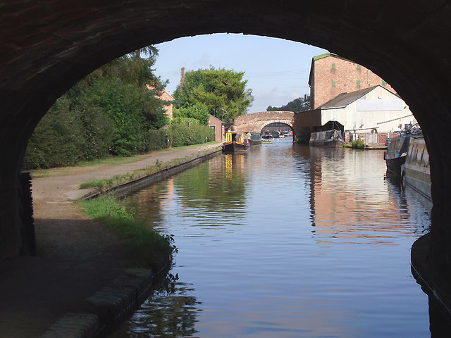
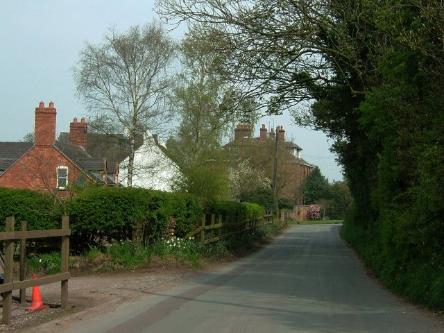
Almington Images
Images are sourced within 2km of 52.908793/-2.443076 or Grid Reference SJ7034. Thanks to Geograph Open Source API. All images are credited.
Almington is located at Grid Ref: SJ7034 (Lat: 52.908793, Lng: -2.443076)
Administrative County: Staffordshire
District: Newcastle-under-Lyme
Police Authority: Staffordshire
What 3 Words
///strapping.vibrate.dupe. Near Market Drayton, Shropshire
Nearby Locations
Related Wikis
Almington
Almington is a small village in Staffordshire, England. It is about 2 miles (3.2 km) east-northeast of Market Drayton by road, to the northwest of the...

Hales, Staffordshire
Hales is a village in Staffordshire approximately 2 miles east of Market Drayton. Population details as taken at the 2011 census can be found under Loggerheads...

Oakley, Staffordshire
Oakley is a hamlet in Staffordshire, England. It is within Mucklestone ward of Loggerheads Parish. Oakley Hall, a former seat of the Chetwode family, is...

Audley's Cross
Audley's Cross is a cross sited in Blore Heath, Staffordshire to mark the spot on which James Touchet, Lord Audley was killed at the battle of Blore Heath...

Battle of Blore Heath
The Battle of Blore Heath was a battle in the English Wars of the Roses that was fought on 23 September 1459, at Blore Heath, Staffordshire. Blore Heath...
Blore Heath Rural District
Blore Heath was a rural district in Staffordshire, England from 1894 to 1932. It was created under the Local Government Act 1894 from that part of the...

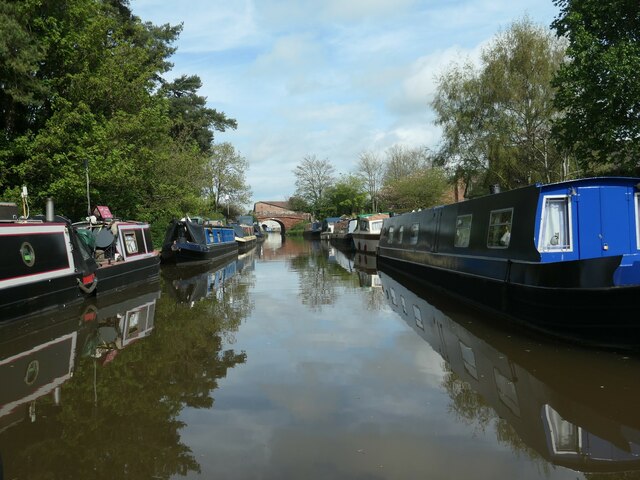
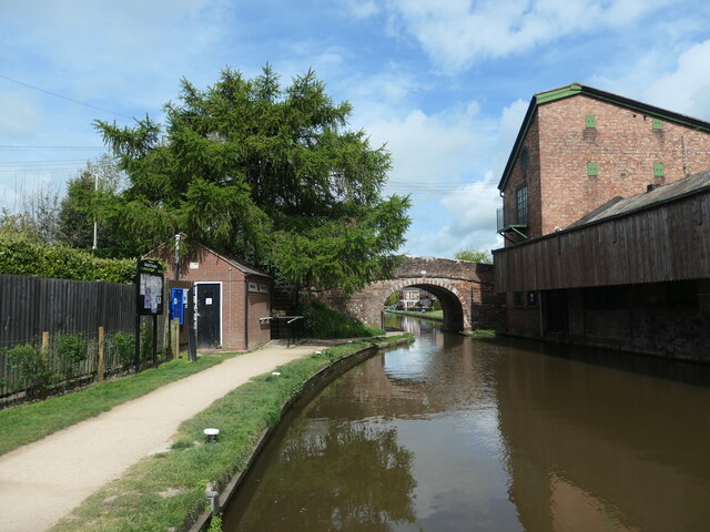
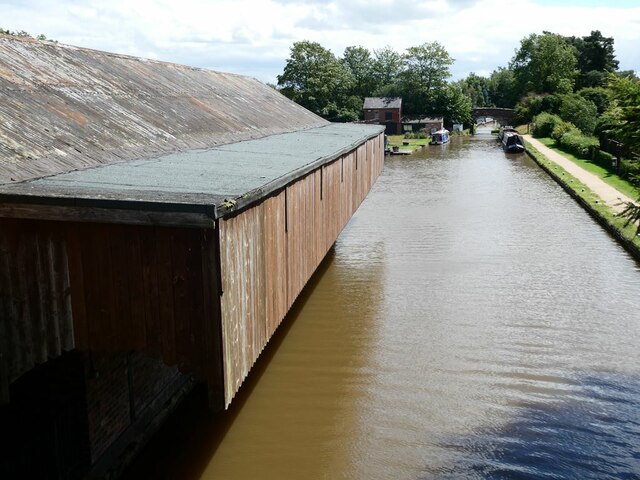
Birmingham and Liverpool Junction Canal
The Birmingham and Liverpool Junction Canal was a canal in England which ran from Nantwich, where it joined the Chester Canal, to Autherley, where it joined...

Betton, Shropshire
Betton is a hamlet in the civil parish of Norton in Hales, in the Shropshire district, in the county of Shropshire, England.
Nearby Amenities
Located within 500m of 52.908793,-2.443076Have you been to Almington?
Leave your review of Almington below (or comments, questions and feedback).