Cae-Howell Wood

Wood, Forest in Flintshire

Wales

Cae-Howell Wood

Ordnance Survey Cut Mark This OS cut mark can be found on the north angle of St Mary Magdalene's Church. It marks a point 65.088m above mean sea level.
Ordnance Survey Cut Mark Credit: Adrian Dust

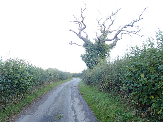
Cae-Howell Wood is a picturesque woodland located in Flintshire, Wales. Spanning over an area of approximately 50 hectares, the wood is known for its diverse range of flora and fauna, making it a popular destination for nature enthusiasts and wildlife lovers.

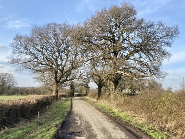
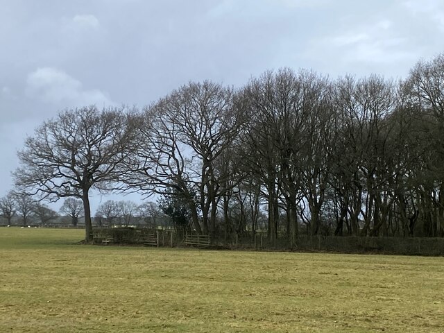
The woodland is predominantly composed of broad-leaved deciduous trees, including oak, beech, and birch. These trees create a dense canopy that provides shelter and habitat for a variety of bird species, such as woodpeckers, owls, and songbirds. Additionally, the woodland floor is adorned with a rich carpet of wildflowers during the spring season, including bluebells and primroses.

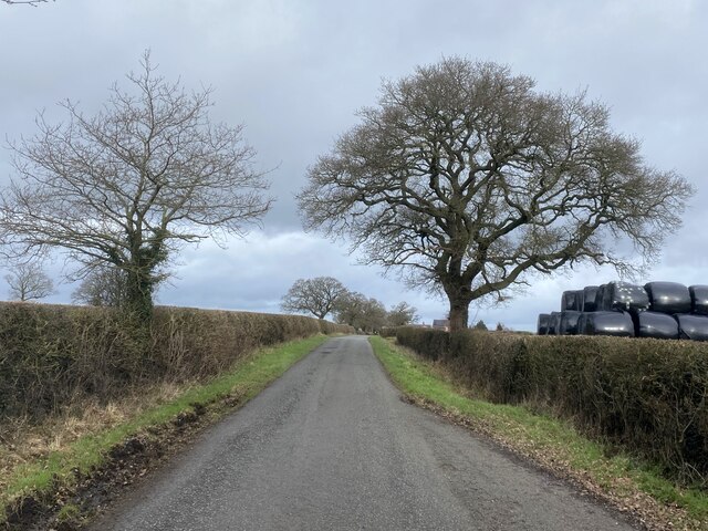
Cae-Howell Wood is crisscrossed by a network of well-maintained footpaths, allowing visitors to explore its natural beauty at their own pace. These paths lead to hidden clearings and tranquil spots where one can sit and enjoy the peacefulness of the forest. The wood also features a small stream that adds to the overall charm and provides a source of water for the local wildlife.

The woodland is managed by the local authorities, ensuring its preservation and protection for future generations. It is a designated Site of Special Scientific Interest (SSSI), highlighting its importance for conservation. The management practices include selective thinning of trees, which allows for the regeneration of younger trees and the enhancement of biodiversity.

Overall, Cae-Howell Wood offers a serene and harmonious environment, perfect for nature lovers seeking solace in the midst of nature's beauty. Its vibrant ecosystem and well-maintained trails make it a must-visit destination for anyone looking to connect with the natural world.

If you have any feedback on the listing, please let us know in the comments section below.

Cae-Howell Wood Images

Images are sourced within 2km of 52.964709/-2.877943 or Grid Reference SJ4141. Thanks to Geograph Open Source API. All images are credited.

Ordnance Survey Cut Mark This OS cut mark can be found on the north angle of St Mary Magdalene's Church. It marks a point 65.088m above mean sea level.
Ordnance Survey Cut Mark
This OS cut mark can be found on the north angle of St Mary Magdalene's Church. It marks a point 65.088m above mean sea level.
Polish graves at St Mary Magdalene Towards the end of the 1939-1945 War, two hospitals were established in Penley, for Polish servicemen and ex-servicemen. Many of these servicemen later settled in the area; and more than 120, and their families, are now buried in the churchyard.
Polish graves at St Mary Magdalene
Towards the end of the 1939-1945 War, two hospitals were established in Penley, for Polish servicemen and ex-servicemen. Many of these servicemen later settled in the area; and more than 120, and their families, are now buried in the churchyard.
The grave of Witold Kotowski The gravestone details his family and service history and lists the honours he received.
The grave of Witold Kotowski
The gravestone details his family and service history and lists the honours he received.
Yew Tree, St Mary Magdalene Beneath this tree are buried 68 Polish children who died at Penley between 1946 and 1957.
Yew Tree, St Mary Magdalene
Beneath this tree are buried 68 Polish children who died at Penley between 1946 and 1957.
Madras Voluntary Aided School, Penley Built in 1811 by the 2nd Lord Kenyon and based upon a similar structure in India, the Madras School became the first free school in Wales. It is unique in having a thatched roof. It is beside the A539 on the north-western side of Penley.
Madras Voluntary Aided School, Penley
Built in 1811 by the 2nd Lord Kenyon and based upon a similar structure in India, the Madras School became the first free school in Wales. It is unique in having a thatched roof. It is beside the A539 on the north-western side of Penley.
Old Milestone by the A359, Overton Road, Penley, Maelor South Parish By the A539, Overton Road, in parish of Maelor South (Wrexham County Borough District), Penley, in verge by fence, South side of road.

Inscription reads:- : To / Whitchurch 10 / (Ruabon 7) :

To be surveyed

Milestone Society National ID: FLT_WTRB06
Old Milestone by the A359, Overton Road, Penley, Maelor South Parish
By the A539, Overton Road, in parish of Maelor South (Wrexham County Borough District), Penley, in verge by fence, South side of road. Inscription reads:- : To / Whitchurch 10 / (Ruabon 7) : To be surveyed Milestone Society National ID: FLT_WTRB06
Barn on Burgess Lane
Farm buildings, Burgess Lane
Dead Tree, but green with ivy
Timber construction in evidence In house and restored barn adjacent to the A539.
Timber construction in evidence
In house and restored barn adjacent to the A539.
Trees in winter
Trees in winter
Barn at The Bryn
Barn at The Bryn
Hollybush Lane
Hollybush Lane
In need of repair Farm buildings at Rhyd-y-cyffyn.
In need of repair
Farm buildings at Rhyd-y-cyffyn.
Winter woodland
Winter woodland
Barns at Hollybush Lane Farm
Parish Church of St Mary Magdalene, Penley
Madras V.P. School Penley
Show me another place!

Cae-Howell Wood is located at Grid Ref: SJ4141 (Lat: 52.964709, Lng: -2.877943)

Unitary Authority: Wrexham

Police Authority: North Wales

What 3 Words

///richest.regularly.prayers. Near Overton, Wrexham
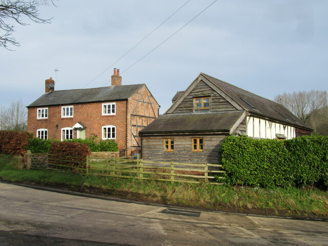
Related Wikis

Penley Community Hospital

Penley Community Hospital (Welsh: Ysbyty Cymuned Llannerch Banna) is a former community hospital dedicated to Polish ex-servicemen in Penley, Wales. It...

Penley

Penley (Welsh: Llannerch Banna) is a village in the County Borough of Wrexham, in Wales close to the border with Shropshire, England, and had a population...

The Maelor School

The Maelor School, Penley (Welsh: Ysgol Maelor) is a mixed comprehensive school situated in the village of Penley, Wrexham County Borough, in north-east...

Cloy Halt railway station

Cloy Halt railway station was a station to the east of Overton-on-Dee, Wrexham, Wales. The station was opened on 30 June 1932 and closed on 10 September...

Nearby Amenities

Located within 500m of 52.964709,-2.877943
Barrier: stile
Lat/Long: 52.9639611/-2.874918
The data included in this document is from www.openstreetmap.org. The data is made available under ODbL.

Have you been to Cae-Howell Wood?

Leave your review of Cae-Howell Wood below (or comments, questions and feedback).