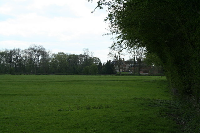
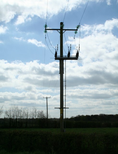
Suttongreen Fox Covert
Wood, Forest in Denbighshire
Wales
Suttongreen Fox Covert
The requested URL returned error: 429 Too Many Requests
If you have any feedback on the listing, please let us know in the comments section below.
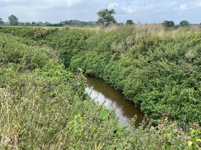
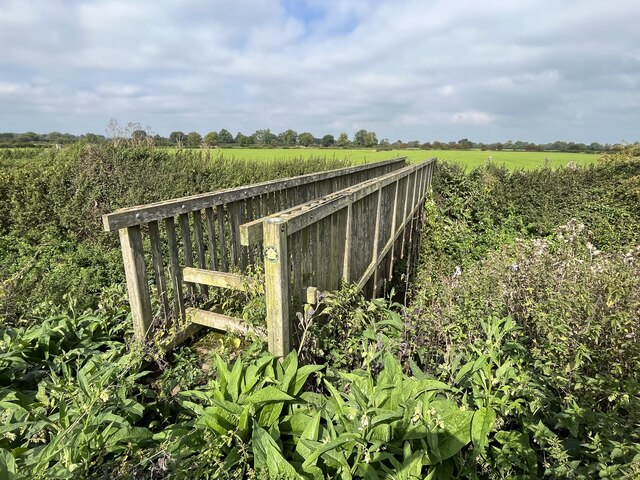
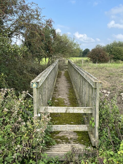
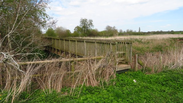
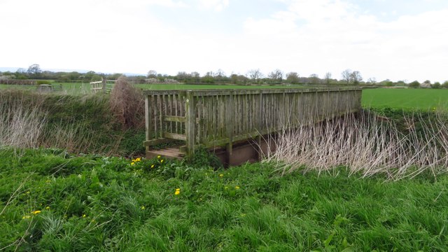
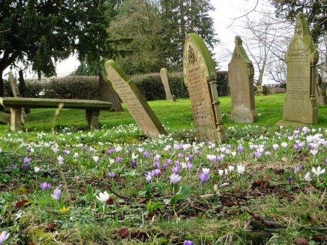
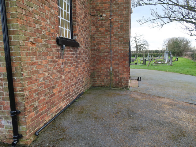
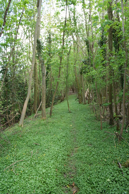
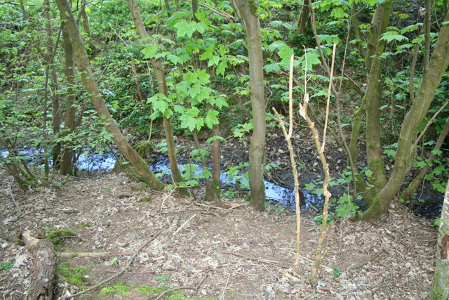
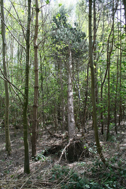
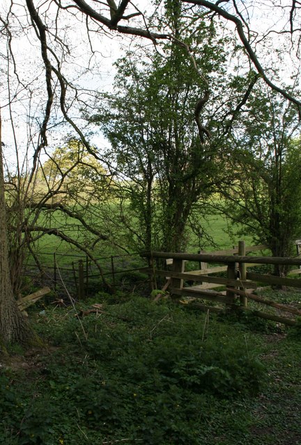
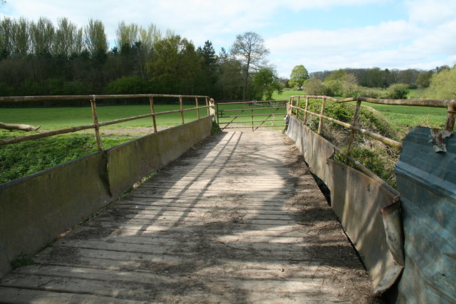
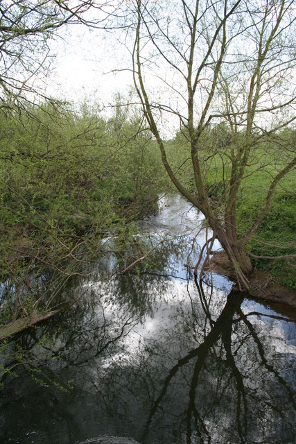
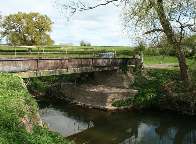
Suttongreen Fox Covert Images
Images are sourced within 2km of 53.031027/-2.8788274 or Grid Reference SJ4148. Thanks to Geograph Open Source API. All images are credited.
Suttongreen Fox Covert is located at Grid Ref: SJ4148 (Lat: 53.031027, Lng: -2.8788274)
Unitary Authority: Wrexham
Police Authority: North Wales
What 3 Words
///prance.ripen.sting. Near Holt, Wrexham
Nearby Locations
Related Wikis
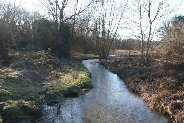
River Clywedog
The River Clywedog is a river in Wrexham County Borough, Wales. Its uses have been watering crops, powering industrial machinery but is now used as walking...

Wych Brook
The Wych Brook, Worthenbury Brook and Red Brook, formerly known as the River Elfe, is a tributary of the River Dee in England and Wales, forming part of...

Isycoed
Isycoed (Welsh: Is-y-coed) is a community in Wrexham County Borough, Wales. It lies around 5 miles to the east of Wrexham, close to the River Dee on the...

Church Shocklach
Church Shocklach is a former civil parish, now in the parish of Shocklach Oviatt and District, in the Borough of Cheshire West and Chester and ceremonial...
Nearby Amenities
Located within 500m of 53.031027,-2.8788274Have you been to Suttongreen Fox Covert?
Leave your review of Suttongreen Fox Covert below (or comments, questions and feedback).