Ysgubor-wen Wood

Wood, Forest in Monmouthshire

Wales

Ysgubor-wen Wood

Approaching Wentwood summit Looking west towards the phone mast.
To the left is one of those shrines that are increasingly popping-up on scenic locations and scenes of accidents.
Approaching Wentwood summit Credit: Jonathan Billinger

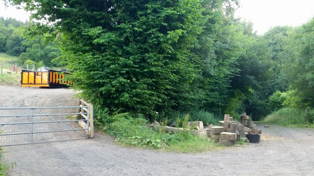
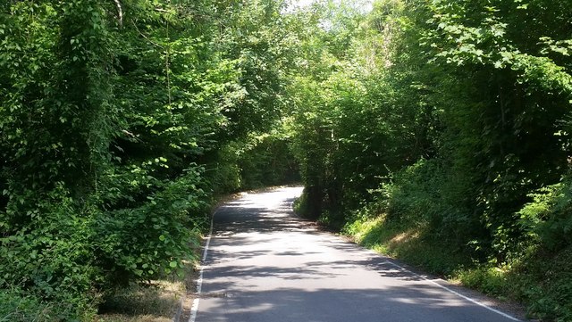
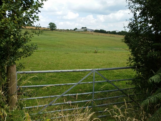
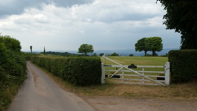
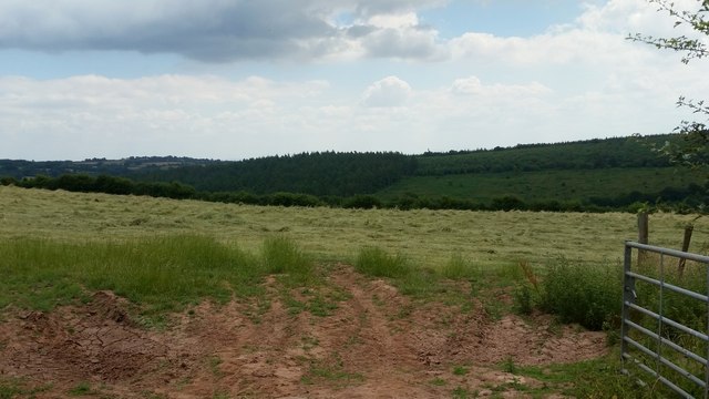
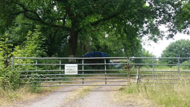
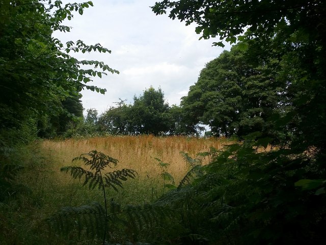
Ysgubor-wen Wood is a stunning woodland located in Monmouthshire, Wales. Covering an area of approximately 300 acres, it is a haven for nature enthusiasts and provides a tranquil escape from the hustle and bustle of everyday life. The wood is situated in the rural countryside, offering visitors the opportunity to immerse themselves in the beauty of nature.

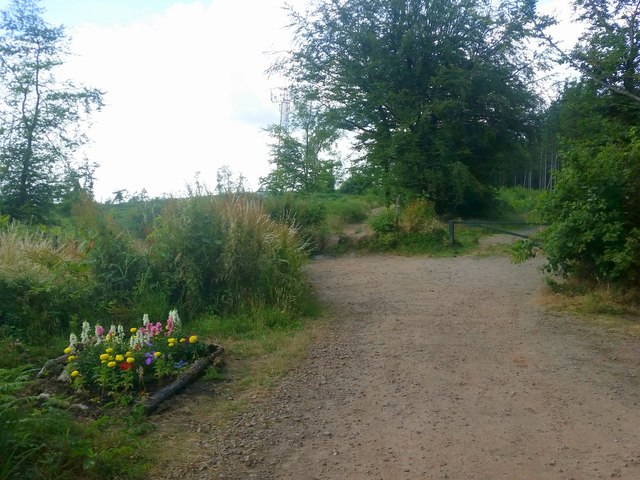
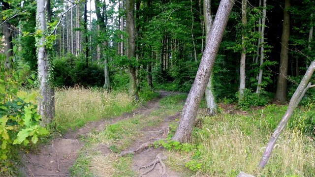
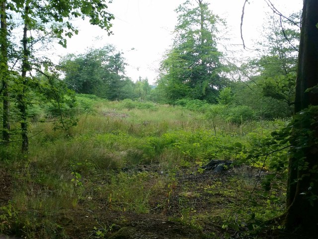
The wood is primarily composed of mixed broadleaf trees, including oak, ash, beech, and birch. These majestic trees create a dense canopy, casting dappled sunlight on the forest floor below. The undergrowth is filled with an array of wildflowers, ferns, and moss, adding to the enchanting atmosphere.

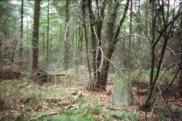
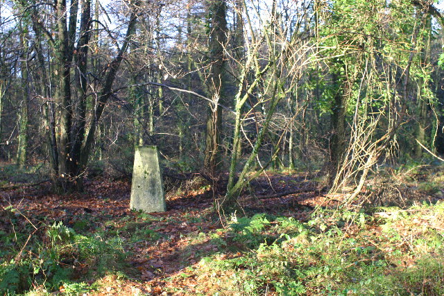
Ysgubor-wen Wood is home to a diverse range of wildlife. Birdwatchers will delight in spotting species such as woodpeckers, nuthatches, and tawny owls. Squirrels can often be seen darting through the trees, while deer may be spotted grazing in the more secluded areas of the wood.

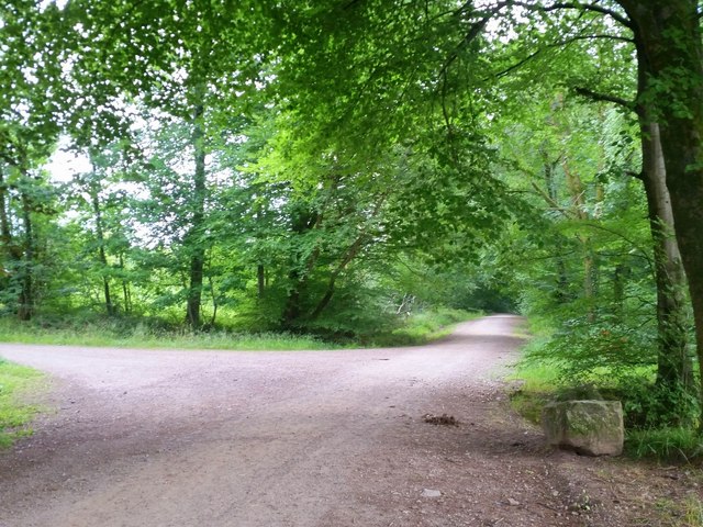
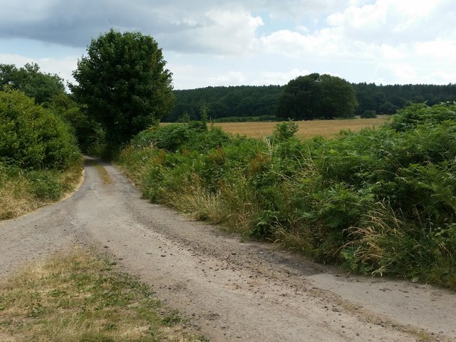
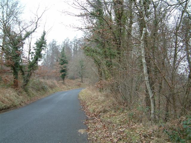
For those wishing to explore the wood, there are several well-maintained footpaths and trails that wind through the trees. These paths offer opportunities for leisurely strolls, as well as more challenging hikes for the adventurous. Along the way, visitors can enjoy breathtaking views of the surrounding countryside.

Ysgubor-wen Wood is a true gem in Monmouthshire, providing a serene and picturesque experience for all who visit. Whether you are a nature lover, a hiker, or simply seeking a peaceful retreat, this woodland is a must-see destination.

If you have any feedback on the listing, please let us know in the comments section below.

Ysgubor-wen Wood Images

Images are sourced within 2km of 51.661986/-2.8526028 or Grid Reference ST4196. Thanks to Geograph Open Source API. All images are credited.

Approaching Wentwood summit Looking west towards the phone mast.
To the left is one of those shrines that are increasingly popping-up on scenic locations and scenes of accidents.
Approaching Wentwood summit
Looking west towards the phone mast. To the left is one of those shrines that are increasingly popping-up on scenic locations and scenes of accidents.
Track into Wentwood Looks like an entry point, authorised or otherwise, for 4x4 vehicles into the forest.
Track into Wentwood
Looks like an entry point, authorised or otherwise, for 4x4 vehicles into the forest.
Forestry activities A brightly coloured skip and some cut wood by the public path into the Wentwood forest.
Forestry activities
A brightly coloured skip and some cut wood by the public path into the Wentwood forest.
Road through Darren Wood The road descends towards the Usk valley from the Wentwood summit.
Road through Darren Wood
The road descends towards the Usk valley from the Wentwood summit.
Pencaemawr Methodist Chapel Tiny chapel is still in use although it would seem to be a very isolated scattered parish at the top of the Wentwood Hills.
The windows have been replaced since <a href="https://www.geograph.org.uk/photo/118620">ST4195 : Chapel</a>, the First Geograph for the square, was taken in 2006.
Pencaemawr Methodist Chapel
Tiny chapel is still in use although it would seem to be a very isolated scattered parish at the top of the Wentwood Hills. The windows have been replaced since ST4195 : Chapel, the First Geograph for the square, was taken in 2006.
Wentwood at Cadira Beeches, 1 A view of an open broadleaf section of the forest.
Wentwood at Cadira Beeches, 1
A view of an open broadleaf section of the forest.
Wentwood at Cadira Beeches, 2 Track to the left is a bridleway north over the summit and descending to Bluebell Farm.
Wentwood at Cadira Beeches, 2
Track to the left is a bridleway north over the summit and descending to Bluebell Farm.
Wentwood forest track Cambered bridleway heading east towards Shirenewton.
Wentwood forest track
Cambered bridleway heading east towards Shirenewton.
Country lane opposite Shepherd's Cottage Same view as that taken in October 2012 <a href="https://www.geograph.org.uk/photo/3192271">ST4196 : Road opposite Shepherds Cottage</a>.
Wentwood Forest in the distance.
Country lane opposite Shepherd's Cottage
Same view as that taken in October 2012 ST4196 : Road opposite Shepherds Cottage. Wentwood Forest in the distance.
Pasture near Buckwell Buckwell Farm in the distance.
Pasture near Buckwell
Buckwell Farm in the distance.
Old Road at White Horse Farm Looking south-west towards Pen-y-cae-mawr.
Old Road at White Horse Farm
Looking south-west towards Pen-y-cae-mawr.
Field of recently-cut haylage The Wentwood Forest in the distance.
Field of recently-cut haylage
The Wentwood Forest in the distance.
Golden Hill Farm entrance On mapping this is given as a route with public access.
The sign on the gate would indicate otherwise.
Golden Hill Farm entrance
On mapping this is given as a route with public access. The sign on the gate would indicate otherwise.
Small field at Golden Hill A triangular patch of land by the gate shown in <a href="https://www.geograph.org.uk/photo/5898322">ST4297 : Golden Hill Farm entrance</a>.
Small field at Golden Hill
A triangular patch of land by the gate shown in ST4297 : Golden Hill Farm entrance.
Wentwood Summit The highest point of Wentwood, deep in the forest.
Wentwood Summit
The highest point of Wentwood, deep in the forest.
Wentwood trig
Wentwood trig
The Road through Wentwood Forest
Chapel
Chapel
Show me another place!

Ysgubor-wen Wood is located at Grid Ref: ST4196 (Lat: 51.661986, Lng: -2.8526028)

Unitary Authority: Monmouthshire

Police Authority: Gwent

What 3 Words

///flocking.healthier.widen. Near Llangybi, Monmouthshire

Related Wikis

Nantybanw, Llantrisant

Nantybanw, Llantrisant in Monmouthshire, Wales is a country house dating from 1625. The house is Grade II* listed and the associated farm buildings have...

Pen-y-cae-mawr

Pen-y-cae-mawr is a small hamlet above the Wentwood Forest in Monmouthshire, Wales. It lies about 2 miles (3.2 km) east of Llantrisant. There are two farms...

The Cwm, Llantrisant, Monmouthshire

The Cwm, Llantrisant, Monmouthshire is a farmhouse dating from the 16th century. Expanded in both the 17th and 18th centuries, The Cwm is a Grade II* listed...

Llantrisant, Monmouthshire

Llantrisant () is a village in Monmouthshire, south east Wales, United Kingdom. The community population at the 2011 census was 475. == Location == Llantrisant...

Nearby Amenities

Located within 500m of 51.661986,-2.8526028
Description: Views of the Brecon Beacon Mountains
Direction: W
Tourism: viewpoint
Lat/Long: 51.657883/-2.8517184
Direction: 145
Generator Method: photovoltaic
Generator Output Electricity: yes
Generator Solar Modules: 12
Generator Source: solar
Generator Type: solar_photovoltaic_panel
Location: roof
Power: generator
Lat/Long: 51.659687/-2.8585066
The data included in this document is from www.openstreetmap.org. The data is made available under ODbL.

Have you been to Ysgubor-wen Wood?

Leave your review of Ysgubor-wen Wood below (or comments, questions and feedback).