Coed Tir-prydd

Wood, Forest in Monmouthshire

Wales

Coed Tir-prydd

Entrance and footpath Entrance and track to farm buildings, this is also the route of a footpath.
Entrance and footpath Credit: Philip Halling

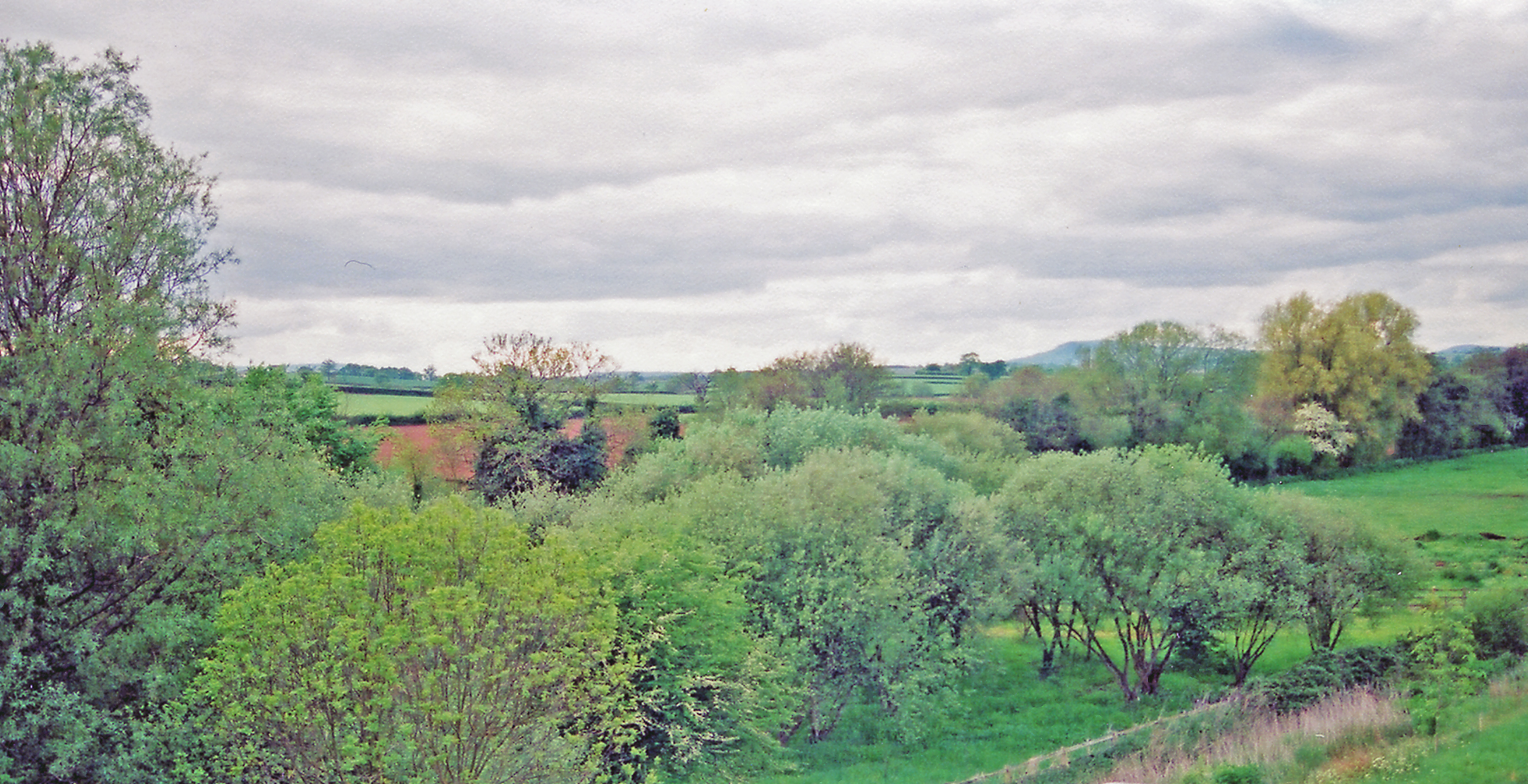
Coed Tir-prydd, located in Monmouthshire, Wales, is a captivating woodland area renowned for its natural beauty and ecological significance. Spanning over a vast expanse, this enchanting forest is spread across approximately 100 hectares, offering visitors a tranquil escape from the hustle and bustle of urban life.

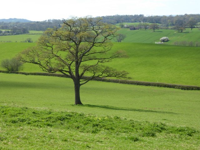
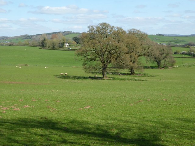
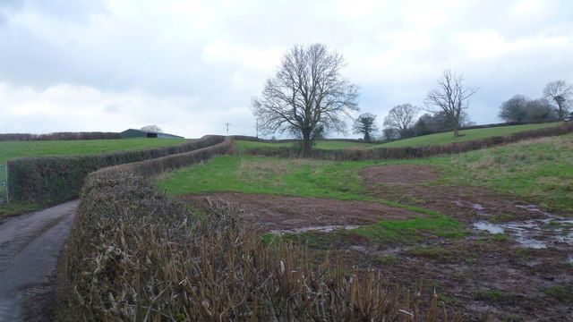
The woodland boasts a diverse array of tree species, including oak, beech, birch, and ash, creating a picturesque landscape that changes dramatically throughout the seasons. It is home to a rich variety of flora and fauna, with an abundance of wildflowers, ferns, and mosses carpeting the forest floor, providing a haven for insects, birds, and small mammals.

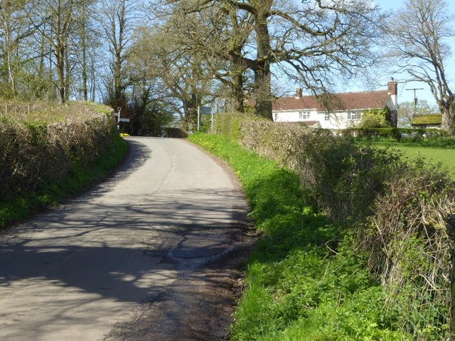
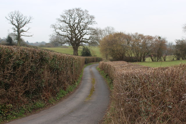
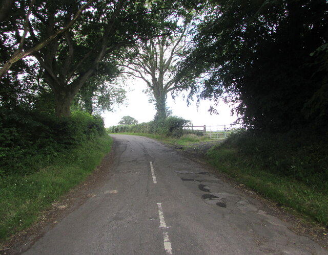
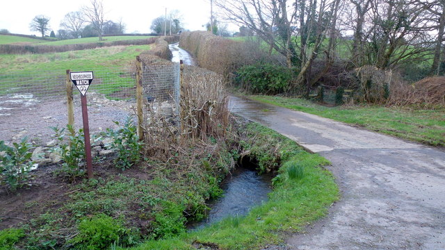
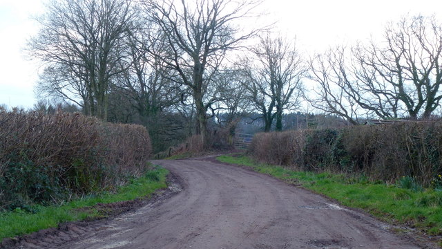
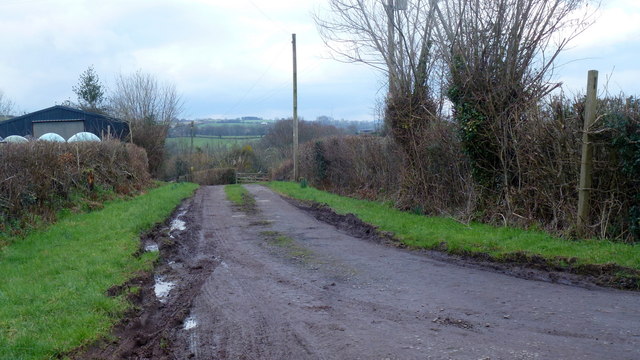
Coed Tir-prydd offers a network of well-maintained footpaths and trails, allowing visitors to explore its natural wonders at their own pace. The paths meander through the forest, leading to hidden glades, babbling streams, and breathtaking viewpoints. With its peaceful ambiance and stunning vistas, it is a popular destination for walkers, nature enthusiasts, and photographers.

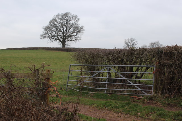
In addition to its recreational opportunities, Coed Tir-prydd plays a vital role in conservation efforts. As part of a larger network of protected woodlands, it provides essential habitat for many rare and endangered species, contributing to the overall biodiversity of the region. The forest is carefully managed to ensure its long-term sustainability, balancing the needs of wildlife conservation with public access and enjoyment.

Overall, Coed Tir-prydd, Monmouthshire is a captivating woodland destination that offers visitors a chance to connect with nature, explore its rich biodiversity, and immerse themselves in the tranquility of its stunning surroundings.

If you have any feedback on the listing, please let us know in the comments section below.

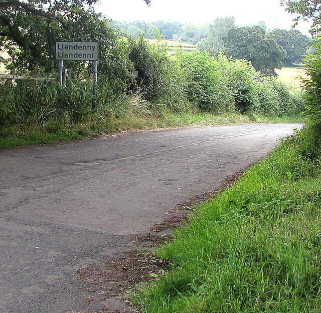
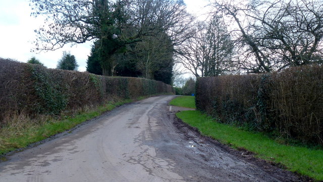
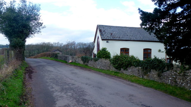
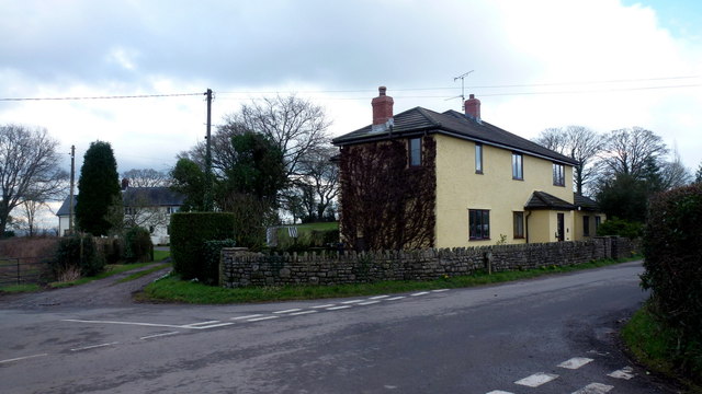
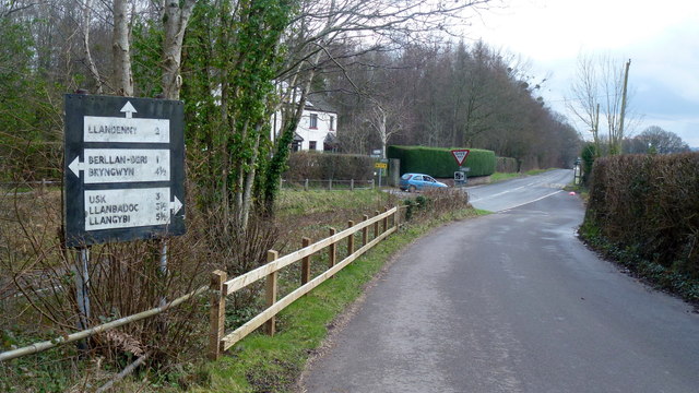
Coed Tir-prydd Images

Images are sourced within 2km of 51.737735/-2.8800089 or Grid Reference SO3904. Thanks to Geograph Open Source API. All images are credited.

Entrance and footpath Entrance and track to farm buildings, this is also the route of a footpath.
Entrance and footpath
Entrance and track to farm buildings, this is also the route of a footpath.
A tree showing signs of spring The leaves are beginning to emerge on this tree in a field to the north of Cefntilla Court.  Barely visible in the picture is what appears to be an abandoned cottage in the distance to the right of the tree.
A tree showing signs of spring
The leaves are beginning to emerge on this tree in a field to the north of Cefntilla Court. Barely visible in the picture is what appears to be an abandoned cottage in the distance to the right of the tree.
Road junction near Llandenny
Country road to the west of Llandenny
Trees in a field Trees in a field near the village of Llandenny.
Trees in a field
Trees in a field near the village of Llandenny.
Lane off Usk Road Hedged in lane just south of junction with old Raglan to Usk road. Field on right of lane - <a href="https://www.geograph.org.uk/photo/6078957">SO4006 : Field next to road junction</a>.
Lane off Usk Road
Hedged in lane just south of junction with old Raglan to Usk road. Field on right of lane - SO4006 : Field next to road junction.
Field next to road junction Field at junction of Usk Road and lane <a href="https://www.geograph.org.uk/photo/6078951">SO4006 : Lane off Usk Road</a>. The bare tree is next to Usk Road.
Field next to road junction
Field at junction of Usk Road and lane SO4006 : Lane off Usk Road. The bare tree is next to Usk Road.
Llandenny boundary sign, Monmouthshire The sign at the western edge of the village shows that Llandenny is Llandenni in Welsh.
Llandenny boundary sign, Monmouthshire
The sign at the western edge of the village shows that Llandenny is Llandenni in Welsh.
Old-style signpost near Llandenny, Monmouthshire Showing left for Usk, right for Cold Harbour, behind the camera for Llandenny.
Old-style signpost near Llandenny, Monmouthshire
Showing left for Usk, right for Cold Harbour, behind the camera for Llandenny.
Road from Llandenny towards Usk, Monmouthshire The Llandenny boundary sign <a title="https://www.geograph.org.uk/photo/6894982" href="https://www.geograph.org.uk/photo/6894982">Link</a> is behind the camera.
Road from Llandenny towards Usk, Monmouthshire
The Llandenny boundary sign Link is behind the camera.
Track and bridleway Towards The Poplars Farm, crossing the Cayo Brook in the foreground.
Track and bridleway
Towards The Poplars Farm, crossing the Cayo Brook in the foreground.
Wet fields by the lane to Gwehelog Common Looking north-west.
Wet fields by the lane to Gwehelog Common
Looking north-west.
Private drive to Pentwyn Not a public right of way.
Private drive to Pentwyn
Not a public right of way.
Track to Chapel Farm Also a bridleway leading north-west from Gwehelog Common.
Track to Chapel Farm
Also a bridleway leading north-west from Gwehelog Common.
Gwehelog Common Road heading south-east with scattered housing.
Gwehelog Common
Road heading south-east with scattered housing.
Gwehelog Methodist Chapel Still apparently in use in February 2016. See also <a href="https://www.geograph.org.uk/photo/407245">SO3804 : Gwehelog Methodist Chapel</a> and <a href="https://www.geograph.org.uk/photo/3224187">SO3804 : Gwehelog Methodist Chapel</a>.
Gwehelog Methodist Chapel
Still apparently in use in February 2016. See also SO3804 : Gwehelog Methodist Chapel and SO3804 : Gwehelog Methodist Chapel.
Houses at Gwehelog Near the Methodist Chapel.
Houses at Gwehelog
Near the Methodist Chapel.
Road junction with pre-Worboys sign Junction on the Usk Road at Keeper's Cottage. The sign has been 'liberated' from the vegetation seen in an early Geograph; <a href="https://www.geograph.org.uk/photo/409645">SO3904 : Old road sign, leaving Gwehelog</a>.
Road junction with pre-Worboys sign
Junction on the Usk Road at Keeper's Cottage. The sign has been 'liberated' from the vegetation seen in an early Geograph; SO3904 : Old road sign, leaving Gwehelog.
Show me another place!

Coed Tir-prydd is located at Grid Ref: SO3904 (Lat: 51.737735, Lng: -2.8800089)

Unitary Authority: Monmouthshire

Police Authority: Gwent

What 3 Words

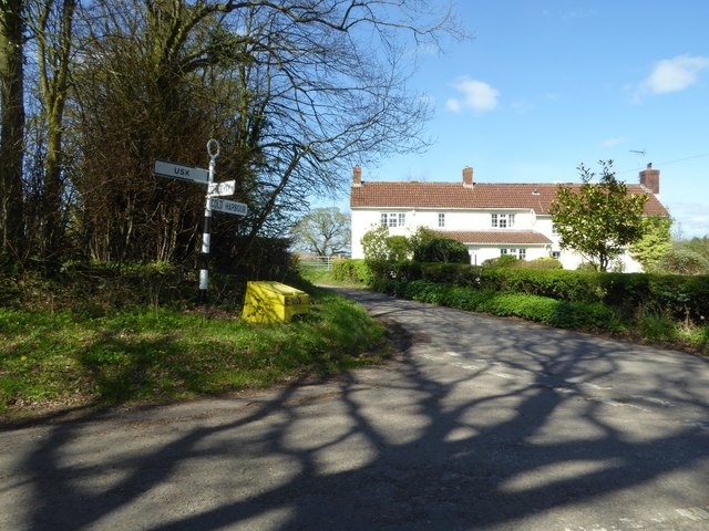
///hourglass.promoting.pastels. Near Raglan, Monmouthshire

Related Wikis

Gwehelog

Gwehelog is a village settlement in the community of Llanarth, in Monmouthshire, south east Wales. == Location == Gwehelog is located 2 miles (3.2 km)...

Cefntilla Court

Cefn Tilla Court, Llandenny, Monmouthshire, Wales, is a country house dating from the mid-19th century. Its origins date from 1616. During the English...

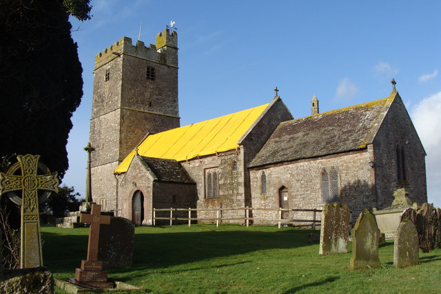
St John's Church, Llandenny

The Church of St John is the parish church of Llandenny, Monmouthshire, Wales. It is in the Perpendicular style and is a Grade I listed building as of...

Llandenny

Llandenny (Welsh: Llandenni or, lesser used, Mathenni) is a village in Monmouthshire, south east Wales, United Kingdom. Llandenny is located three miles...

Llandenny railway station

Llandenny Station was a station along the Coleford, Monmouth, Usk and Pontypool Railway. It was built in 1857, during the construction of the line and...

Cefntilla Halt railway station

Cefntilla Halt was a request stop on the former Coleford, Monmouth, Usk and Pontypool Railway. It was opened on 27 March 1954 and was open for less than...

Raglan Road Crossing Halt railway station

Raglan Road Crossing Halt was a station on the former Coleford, Monmouth, Usk and Pontypool Railway. It was opened in November 1930 on the approximate...

Trostrey Court

Trostrey Court House, Trostrey, Monmouthshire is a late 16th century gentry house. The current building replaced an earlier medieval court. The house played...

Nearby Amenities

Located within 500m of 51.737735,-2.8800089
Entrance: yes
Lat/Long: 51.7367792/-2.8856558
Direction: 165
Generator Method: photovoltaic
Generator Output Electricity: yes
Generator Solar Modules: 6
Generator Source: solar
Generator Type: solar_photovoltaic_panel
Location: roof
Power: generator
Lat/Long: 51.7380368/-2.8767845
Direction: SSE
Generator Method: photovoltaic
Generator Output Electricity: yes
Generator Solar Modules: 12
Generator Source: solar
Generator Type: solar_photovoltaic_panel
Location: roof
Power: generator
Lat/Long: 51.7369437/-2.8790952
Bus Stop
Woodland View (SW-bound)
Bus: yes
Naptan AtcoCode: 5330AWB35053
Network: Newport Bus
Operator: Newport Bus
Public Transport: platform
Ref: gwegdga
Lat/Long: 51.7416531/-2.8807489
Bus Stop
Woodland View (NE-bound)
Bus: yes
Naptan AtcoCode: 5330AWB35064
Network: Newport Bus
Operator: Newport Bus
Public Transport: platform
Ref: gwegdgd
Lat/Long: 51.7411447/-2.8810987
Bus Stop
Trostrey (SE-bound)
Bus: yes
Naptan AtcoCode: 5330AWB35030
Network: Newport Bus
Operator: Newport Bus
Public Transport: platform
Ref: gwegdam
Lat/Long: 51.7347196/-2.8812999
Bus Stop
Trostrey (NW-bound)
Bus: yes
Naptan AtcoCode: 5330AWB35063
Network: Newport Bus
Operator: Newport Bus
Public Transport: platform
Ref: gwegdap
Lat/Long: 51.7350979/-2.8816972
The data included in this document is from www.openstreetmap.org. The data is made available under ODbL.

Have you been to Coed Tir-prydd?

Leave your review of Coed Tir-prydd below (or comments, questions and feedback).