Big Wood

Wood, Forest in Monmouthshire

Wales

Big Wood

country road near Llandenny country road to the north of the village of Llandenny.
country road near Llandenny Credit: Philip Halling

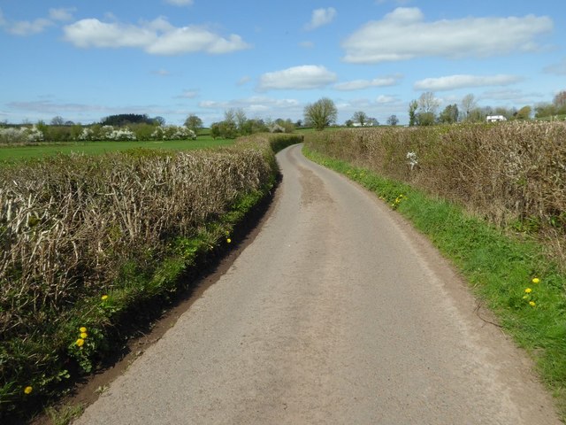
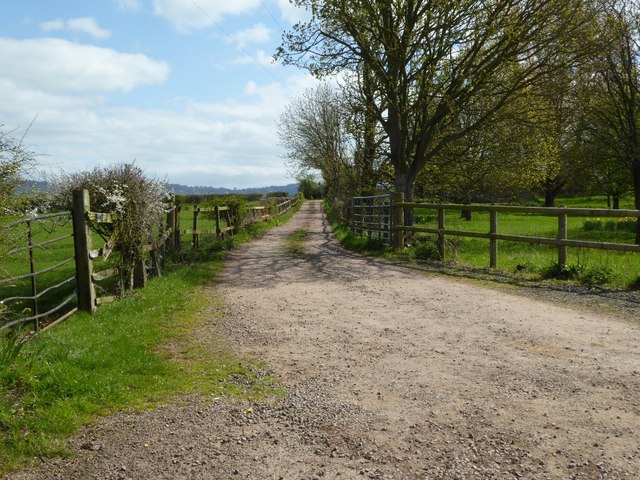
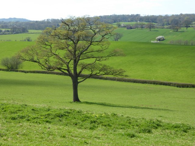
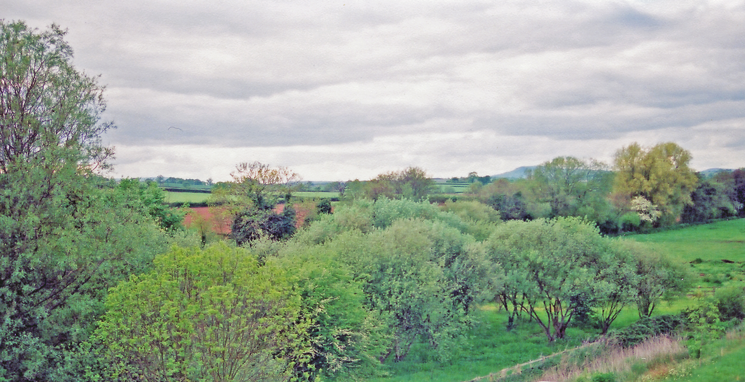
Big Wood is a substantial forest located in Monmouthshire, Wales. Covering an area of approximately 200 acres, it is an expansive and diverse woodland that attracts nature enthusiasts and outdoor adventurers alike. Situated in a picturesque landscape, Big Wood offers a serene and tranquil environment for visitors to explore.

The forest is home to a wide variety of tree species, including oak, beech, birch, and pine, creating a rich and diverse ecosystem. The dense canopy provides ample shade and shelter for a plethora of wildlife, making it a haven for birds, mammals, and insects. Nature lovers can expect to encounter species such as deer, badgers, foxes, and a myriad of bird species during their visit.

The wood is crisscrossed by numerous well-maintained walking trails, allowing visitors to explore its beauty at their own pace. These paths meander through ancient woodland, carpeted with wildflowers and ferns, providing a serene and peaceful atmosphere. In addition, there are designated picnic areas and benches scattered throughout the forest, providing the perfect opportunity for visitors to relax and soak in the natural surroundings.

Big Wood is a popular destination for outdoor activities such as hiking, birdwatching, and photography. It offers a unique opportunity for visitors to connect with nature, immerse themselves in the peaceful ambiance, and appreciate the beauty of the Welsh countryside. Whether seeking solitude or an adventure in the great outdoors, Big Wood is a must-visit destination in Monmouthshire.

If you have any feedback on the listing, please let us know in the comments section below.
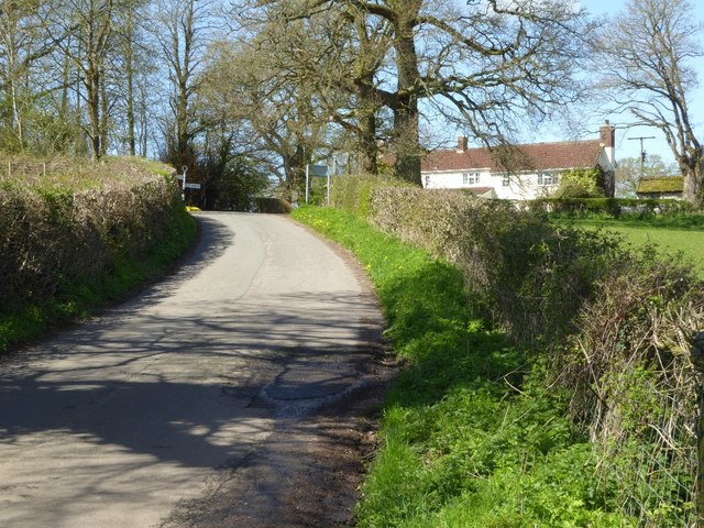
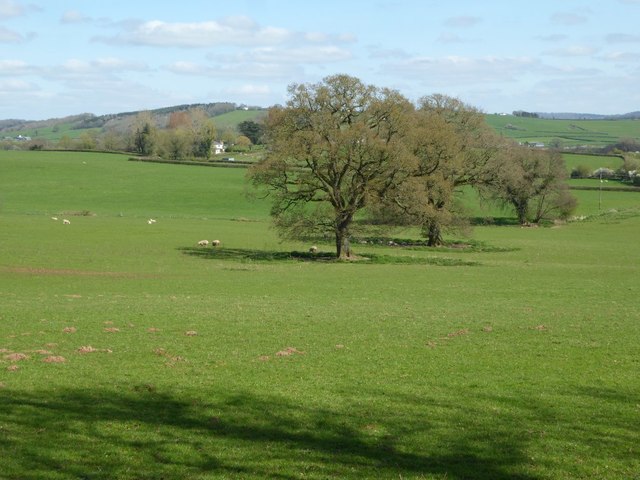
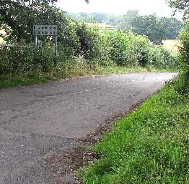
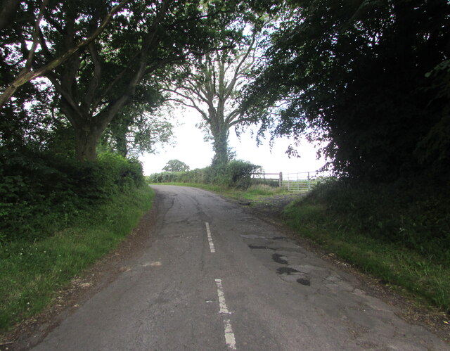
Big Wood Images

Images are sourced within 2km of 51.734295/-2.8770459 or Grid Reference SO3904. Thanks to Geograph Open Source API. All images are credited.

country road near Llandenny country road to the north of the village of Llandenny.
country road near Llandenny
country road to the north of the village of Llandenny.
Entrance to Maes-gwyn Entrance and drive to Maes-gwyn to the north of Llandenny.
Entrance to Maes-gwyn
Entrance and drive to Maes-gwyn to the north of Llandenny.
Entrance and footpath Entrance and track to farm buildings, this is also the route of a footpath.
Entrance and footpath
Entrance and track to farm buildings, this is also the route of a footpath.
Raglan Arms The Raglan Arms in Llandenny, presumably taking its name from the Barons of Raglan who used to reside at nearby Cefntilla Court until 2010.
Raglan Arms
The Raglan Arms in Llandenny, presumably taking its name from the Barons of Raglan who used to reside at nearby Cefntilla Court until 2010.
A tree showing signs of spring The leaves are beginning to emerge on this tree in a field to the north of Cefntilla Court.  Barely visible in the picture is what appears to be an abandoned cottage in the distance to the right of the tree.
A tree showing signs of spring
The leaves are beginning to emerge on this tree in a field to the north of Cefntilla Court. Barely visible in the picture is what appears to be an abandoned cottage in the distance to the right of the tree.
Road junction near Llandenny
Country road to the west of Llandenny
Trees in a field Trees in a field near the village of Llandenny.
Trees in a field
Trees in a field near the village of Llandenny.
Footpath to Llandenny Gate into a field with a footpath sign and footpath to Llandenny.
Footpath to Llandenny
Gate into a field with a footpath sign and footpath to Llandenny.
Llandenny boundary sign, Monmouthshire The sign at the western edge of the village shows that Llandenny is Llandenni in Welsh.
Llandenny boundary sign, Monmouthshire
The sign at the western edge of the village shows that Llandenny is Llandenni in Welsh.
Old-style signpost near Llandenny, Monmouthshire Showing left for Usk, right for Cold Harbour, behind the camera for Llandenny.
Old-style signpost near Llandenny, Monmouthshire
Showing left for Usk, right for Cold Harbour, behind the camera for Llandenny.
Road from Llandenny towards Usk, Monmouthshire The Llandenny boundary sign <a title="https://www.geograph.org.uk/photo/6894982" href="https://www.geograph.org.uk/photo/6894982">Link</a> is behind the camera.
Road from Llandenny towards Usk, Monmouthshire
The Llandenny boundary sign Link is behind the camera.
Llandenny Village Hall, Monmouthshire In the former village school.
Llandenny Village Hall, Monmouthshire
In the former village school.
Recreation area in Llandenny, Monmouthshire South of the village hall. <a title="https://www.geograph.org.uk/photo/6895013" href="https://www.geograph.org.uk/photo/6895013">Link</a>
Recreation area in Llandenny, Monmouthshire
South of the village hall. Link
Leafy lane in Llandenny, Monmouthshire South of the village hall. <a title="https://www.geograph.org.uk/photo/6895013" href="https://www.geograph.org.uk/photo/6895013">Link</a>
Leafy lane in Llandenny, Monmouthshire
South of the village hall. Link
Walking towards Llandenny Village Hall, Monmouthshire This side road leads to the village hall. <a title="https://www.geograph.org.uk/photo/6895013" href="https://www.geograph.org.uk/photo/6895013">Link</a>
Walking towards Llandenny Village Hall, Monmouthshire
This side road leads to the village hall. Link
Village hall direction sign, Llandenny, Monmouthshire The black arrow on the sign facing the main road through the village points towards this <a title="https://www.geograph.org.uk/photo/6895020" href="https://www.geograph.org.uk/photo/6895020">Link</a> side road.
Village hall direction sign, Llandenny, Monmouthshire
The black arrow on the sign facing the main road through the village points towards this Link side road.
The Coach House, Llandenny, Monmouthshire The Old Vicarage <a title="https://www.geograph.org.uk/photo/6895038" href="https://www.geograph.org.uk/photo/6895038">Link</a> is on the right.
The Coach House, Llandenny, Monmouthshire
The Old Vicarage Link is on the right.
Show me another place!

Big Wood is located at Grid Ref: SO3904 (Lat: 51.734295, Lng: -2.8770459)

Unitary Authority: Monmouthshire

Police Authority: Gwent

What 3 Words

///skews.delays.lined. Near Raglan, Monmouthshire

Related Wikis

Gwehelog

Gwehelog is a village settlement in the community of Llanarth, in Monmouthshire, south east Wales. == Location == Gwehelog is located 2 miles (3.2 km)...

Cefntilla Court

Cefn Tilla Court, Llandenny, Monmouthshire, Wales, is a country house dating from the mid-19th century. Its origins date from 1616. During the English...

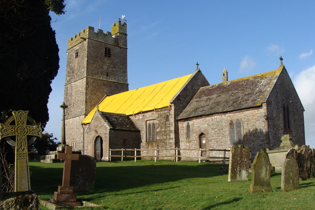
St John's Church, Llandenny

The Church of St John is the parish church of Llandenny, Monmouthshire, Wales. It is in the Perpendicular style and is a Grade I listed building as of...

Llandenny

Llandenny (Welsh: Llandenni or, lesser used, Mathenni) is a village in Monmouthshire, south east Wales, United Kingdom. Llandenny is located three miles...

Cefntilla Halt railway station

Cefntilla Halt was a request stop on the former Coleford, Monmouth, Usk and Pontypool Railway. It was opened on 27 March 1954 and was open for less than...

Llandenny railway station

Llandenny Station was a station along the Coleford, Monmouth, Usk and Pontypool Railway. It was built in 1857, during the construction of the line and...

Raglan Road Crossing Halt railway station

Raglan Road Crossing Halt was a station on the former Coleford, Monmouth, Usk and Pontypool Railway. It was opened in November 1930 on the approximate...

Treworgan Manor, Llansoy

Treworgan Manor, Llansoy, Monmouthshire is a country house dating from the early 18th century. Its origins are older, from the 16th century. Long in the...

Nearby Amenities

Located within 500m of 51.734295,-2.8770459
Llandenny Walks
Place: hamlet
Source: OS_OpenData_StreetView
Lat/Long: 51.7352935/-2.8711026
Direction: 165
Generator Method: photovoltaic
Generator Output Electricity: yes
Generator Solar Modules: 6
Generator Source: solar
Generator Type: solar_photovoltaic_panel
Location: roof
Power: generator
Lat/Long: 51.7380368/-2.8767845
Direction: SSE
Generator Method: photovoltaic
Generator Output Electricity: yes
Generator Solar Modules: 12
Generator Source: solar
Generator Type: solar_photovoltaic_panel
Location: roof
Power: generator
Lat/Long: 51.7369437/-2.8790952
Bus Stop
Trostrey (SE-bound)
Bus: yes
Naptan AtcoCode: 5330AWB35030
Network: Newport Bus
Operator: Newport Bus
Public Transport: platform
Ref: gwegdam
Lat/Long: 51.7347196/-2.8812999
Bus Stop
Trostrey (NW-bound)
Bus: yes
Naptan AtcoCode: 5330AWB35063
Network: Newport Bus
Operator: Newport Bus
Public Transport: platform
Ref: gwegdap
Lat/Long: 51.7350979/-2.8816972
The data included in this document is from www.openstreetmap.org. The data is made available under ODbL.

Have you been to Big Wood?

Leave your review of Big Wood below (or comments, questions and feedback).