Pant-yr-eos Wood
Wood, Forest in Monmouthshire
Wales
Pant-yr-eos Wood

Pant-yr-eos Wood is a picturesque woodland located in Monmouthshire, Wales. Covering an area of approximately 50 acres, this enchanting forest offers visitors a tranquil retreat from the hustle and bustle of everyday life.
The woodland is known for its diverse range of tree species, including oak, beech, and ash. The canopy of the forest creates a cool and shaded environment, perfect for a leisurely stroll on a hot summer's day. The forest floor is carpeted with a vibrant array of wildflowers, adding to the natural beauty of the area.
Pant-yr-eos Wood is not only a haven for nature enthusiasts but also a habitat for a variety of wildlife. Visitors may spot woodland birds such as woodpeckers, owls, and song thrushes, as well as small mammals like squirrels and hedgehogs. It is advisable to bring binoculars and a camera to fully appreciate the diverse flora and fauna.
The wood is crisscrossed by a network of well-maintained footpaths, allowing visitors to explore the area at their own pace. There are also picnic areas where visitors can relax and enjoy a packed lunch surrounded by the peaceful sounds of nature.
Pant-yr-eos Wood is open to the public throughout the year, and admission is free. It is easily accessible by car, with ample parking available nearby. The wood is also a popular destination for dog walkers, but it is important to keep dogs on a leash to protect the wildlife and maintain the tranquility of the area.
Overall, Pant-yr-eos Wood offers a captivating and serene natural environment, making it a must-visit destination for those seeking solace in the beauty of nature.
If you have any feedback on the listing, please let us know in the comments section below.
Pant-yr-eos Wood Images
Images are sourced within 2km of 51.596244/-2.8777905 or Grid Reference ST3988. Thanks to Geograph Open Source API. All images are credited.


Pant-yr-eos Wood is located at Grid Ref: ST3988 (Lat: 51.596244, Lng: -2.8777905)
Unitary Authority: Newport
Police Authority: Gwent
What 3 Words
///sardine.proved.unwraps. Near Bishton, Newport
Nearby Locations
Related Wikis
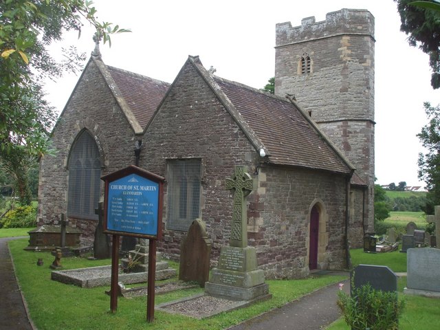
Llanmartin
Llanmartin (Welsh: Llanfarthyn) is a village and parish in the city of Newport, Wales. == The community == The parish contains several communities and...

Underwood, Newport
Underwood is a settlement in the city of Newport, South East Wales. It is an early 1960s council housing estate that consists of houses, shops, a leisure...
Bishton
Bishton or Bishopston (Welsh: Llangadwaladr Trefesgob or simply Trefesgob) is a small rural community in the east of the city of Newport, South Wales....
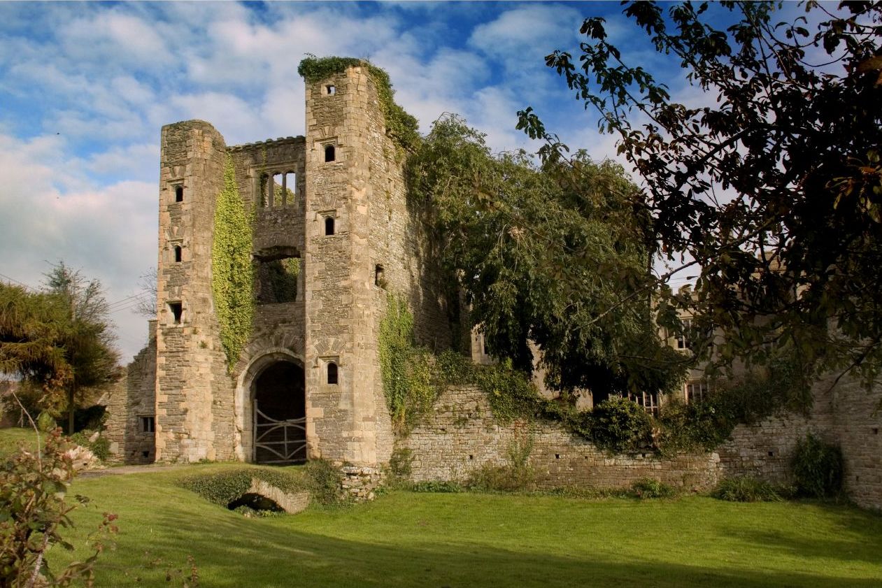
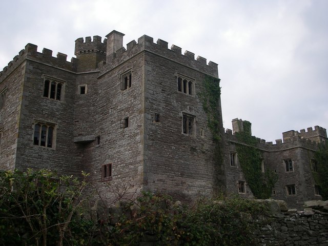
Pencoed Castle
Pencoed Castle is a ruined Tudor mansion, largely dating from the 16th century, in the parish of Llanmartin, now within the city of Newport, south Wales...
Nearby Amenities
Located within 500m of 51.596244,-2.8777905Have you been to Pant-yr-eos Wood?
Leave your review of Pant-yr-eos Wood below (or comments, questions and feedback).