Coed-y-pilla

Wood, Forest in Monmouthshire

Wales

Coed-y-pilla

Bridge over the A449
Bridge over the A449 Credit: Anthony Parkes

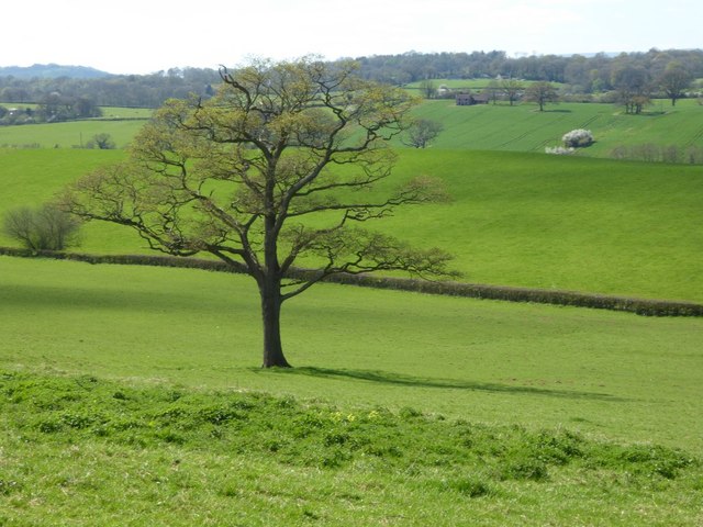
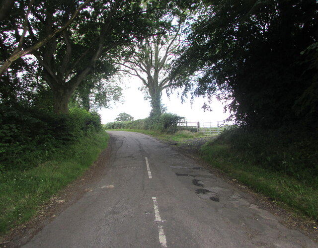
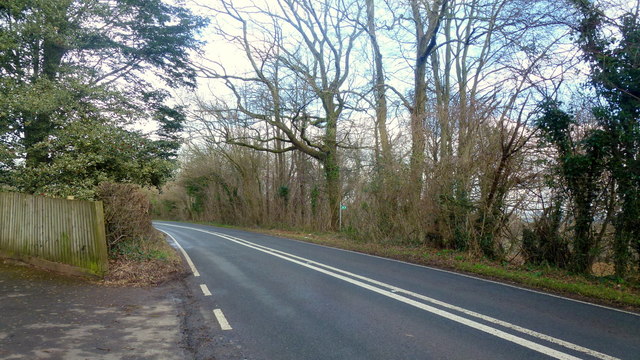
Coed-y-Pilla is a sprawling woodland located in Monmouthshire, Wales. Covering an area of approximately 200 acres, this ancient forest is known for its diverse range of flora and fauna. The woodland is made up of a mix of broadleaf and coniferous trees, providing a rich habitat for a variety of wildlife.

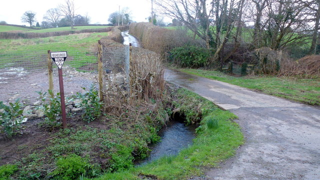
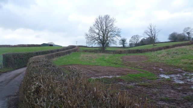
Visitors to Coed-y-Pilla can enjoy a range of outdoor activities, including hiking, birdwatching, and nature photography. There are several well-maintained walking trails that wind through the forest, offering stunning views of the surrounding countryside.

In addition to its natural beauty, Coed-y-Pilla also has a rich cultural history. The forest is home to several ancient ruins, including the remains of a medieval castle and a Roman fort. These historical sites provide a glimpse into the area's past and add to the charm of this enchanting woodland.

Overall, Coed-y-Pilla is a popular destination for nature lovers and history enthusiasts alike. With its peaceful atmosphere and stunning scenery, it is the perfect place to escape the hustle and bustle of everyday life and immerse oneself in the beauty of the Welsh countryside.

If you have any feedback on the listing, please let us know in the comments section below.
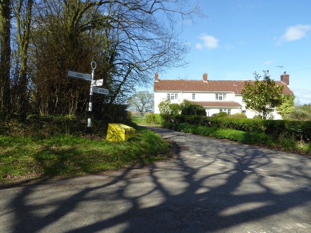
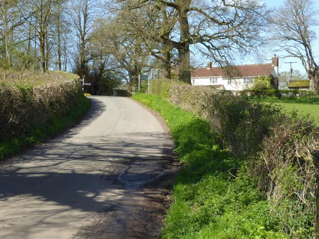
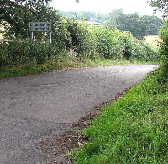
Coed-y-pilla Images

Images are sourced within 2km of 51.722631/-2.8809461 or Grid Reference SO3903. Thanks to Geograph Open Source API. All images are credited.

Bridge over the A449
Lay-by and minor road crossing A449 near Lanolway Farm
A tree showing signs of spring The leaves are beginning to emerge on this tree in a field to the north of Cefntilla Court.  Barely visible in the picture is what appears to be an abandoned cottage in the distance to the right of the tree.
A tree showing signs of spring
The leaves are beginning to emerge on this tree in a field to the north of Cefntilla Court. Barely visible in the picture is what appears to be an abandoned cottage in the distance to the right of the tree.
Road junction near Llandenny
Country road to the west of Llandenny
Footpath to Llandenny Gate into a field with a footpath sign and footpath to Llandenny.
Footpath to Llandenny
Gate into a field with a footpath sign and footpath to Llandenny.
Llangeview Lodge near Usk, Monmouthshire Dog friendly <a title="https://www.geograph.org.uk/photo/5716203" href="https://www.geograph.org.uk/photo/5716203">Link</a> country pub & restaurant with accommodation (eleven bed & breakfast rooms) alongside 
the B4235 Chepstow Road viewed in March 2018. Formerly the Rat Trap seen here <a title="https://www.geograph.org.uk/photo/1080069" href="https://www.geograph.org.uk/photo/1080069">Link</a> in 2008.
Llangeview Lodge near Usk, Monmouthshire
Dog friendly Link country pub & restaurant with accommodation (eleven bed & breakfast rooms) alongside the B4235 Chepstow Road viewed in March 2018. Formerly the Rat Trap seen here Link in 2008.
Chepstow Road towards Usk, Monmouthshire The B4235 Chepstow Road passes Llangeview Lodge. <a title="https://www.geograph.org.uk/photo/5716180" href="https://www.geograph.org.uk/photo/5716180">Link</a>
Chepstow Road towards Usk, Monmouthshire
The B4235 Chepstow Road passes Llangeview Lodge. Link
Field between the B4235 and A449 near Usk, Monmouthshire Viewed from a field gate at the edge of the B4235 Chepstow Road near Llangeview Lodge. <a title="https://www.geograph.org.uk/photo/5716180" href="https://www.geograph.org.uk/photo/5716180">Link</a>
Field between the B4235 and A449 near Usk, Monmouthshire
Viewed from a field gate at the edge of the B4235 Chepstow Road near Llangeview Lodge. Link
Chepstow Road towards Gwernesney, Monmouthshire Looking to the ENE along the B4235 Chepstow Road. Llangeview Lodge <a title="https://www.geograph.org.uk/photo/5716180" href="https://www.geograph.org.uk/photo/5716180">Link</a> is behind the camera.
Chepstow Road towards Gwernesney, Monmouthshire
Looking to the ENE along the B4235 Chepstow Road. Llangeview Lodge Link is behind the camera.
Dog Friendly Pub sign at the edge of Llangeview Lodge near Usk, Monmouthshire Alongside the B4235 Chepstow Road at the edge of Llangeview Lodge. <a title="https://www.geograph.org.uk/photo/5716180" href="https://www.geograph.org.uk/photo/5716180">Link</a>
Dog Friendly Pub sign at the edge of Llangeview Lodge near Usk, Monmouthshire
Alongside the B4235 Chepstow Road at the edge of Llangeview Lodge. Link
Road into Usk Showground near Gwernesney, Monmouthshire Viewed from these gates. <a title="https://www.geograph.org.uk/photo/5716220" href="https://www.geograph.org.uk/photo/5716220">Link</a>
Road into Usk Showground near Gwernesney, Monmouthshire
Viewed from these gates. Link
Llandenny boundary sign, Monmouthshire The sign at the western edge of the village shows that Llandenny is Llandenni in Welsh.
Llandenny boundary sign, Monmouthshire
The sign at the western edge of the village shows that Llandenny is Llandenni in Welsh.
Old-style signpost near Llandenny, Monmouthshire Showing left for Usk, right for Cold Harbour, behind the camera for Llandenny.
Old-style signpost near Llandenny, Monmouthshire
Showing left for Usk, right for Cold Harbour, behind the camera for Llandenny.
Road from Llandenny towards Usk, Monmouthshire The Llandenny boundary sign <a title="https://www.geograph.org.uk/photo/6894982" href="https://www.geograph.org.uk/photo/6894982">Link</a> is behind the camera.
Road from Llandenny towards Usk, Monmouthshire
The Llandenny boundary sign Link is behind the camera.
Raglan Road Looking north towards Raglan (the original A449) at the entrance to Park House.
Footpath sign to Coed Canol on the other side of the road.
Raglan Road
Looking north towards Raglan (the original A449) at the entrance to Park House. Footpath sign to Coed Canol on the other side of the road.
Track and bridleway Towards The Poplars Farm, crossing the Cayo Brook in the foreground.
Track and bridleway
Towards The Poplars Farm, crossing the Cayo Brook in the foreground.
Wet fields by the lane to Gwehelog Common Looking north-west.
Wet fields by the lane to Gwehelog Common
Looking north-west.
Show me another place!

Coed-y-pilla is located at Grid Ref: SO3903 (Lat: 51.722631, Lng: -2.8809461)

Unitary Authority: Monmouthshire

Police Authority: Gwent

What 3 Words

///redouble.dolly.floating. Near Usk, Monmouthshire

Related Wikis

Gwehelog

Gwehelog is a village settlement in the community of Llanarth, in Monmouthshire, south east Wales. == Location == Gwehelog is located 2 miles (3.2 km)...

Cefntilla Court

Cefn Tilla Court, Llandenny, Monmouthshire, Wales, is a country house dating from the mid-19th century. Its origins date from 1616. During the English...

Cefntilla Halt railway station

Cefntilla Halt was a request stop on the former Coleford, Monmouth, Usk and Pontypool Railway. It was opened on 27 March 1954 and was open for less than...

Berthin Brook

The Berthin Brook is a minor right bank tributary of the River Usk in Monmouthshire, in south Wales. Flowing north from New Inn initially, it turns east...

Nearby Amenities

Located within 500m of 51.722631,-2.8809461
Pub
The Hall Inn
Addr City: Gwehelog
Addr Postcode: NP15 1RB
Addr Street: Monmouth Road
Opening Hours: Mo 17:30-23:00; Tu-Fr 12:00-15:00,17:30-23:00; Sa-Su 12:00-23:00
Source: survey
Website: https://www.thehallinn.co.uk/
Wikidata: Q80857513
Lat/Long: 51.7263736/-2.8828554
Power: tower
Lat/Long: 51.7224026/-2.8862044
Power: pole
Lat/Long: 51.7233098/-2.8831869
Power: pole
Lat/Long: 51.7239395/-2.8825298
Power: tower
Lat/Long: 51.723697/-2.8837502
Power: pole
Lat/Long: 51.726028/-2.8772941
Power: pole
Lat/Long: 51.7263337/-2.8786942
Power: pole
Lat/Long: 51.7261775/-2.8802446
Power: pole
Lat/Long: 51.7255296/-2.8808776
Power: pole
Lat/Long: 51.7251175/-2.8813201
Power: pole
Lat/Long: 51.7246091/-2.8818163
Power: tower
Lat/Long: 51.7246955/-2.8818861
Power: tower
Lat/Long: 51.7248417/-2.8803867
Power: tower
Lat/Long: 51.7251956/-2.8768328
Telephone
Booth: K6
Covered: booth
Man Made: telephone_box
Old Phone: +44 1291 672315
Lat/Long: 51.7263284/-2.8827538
Post Box
Post Box Mounting: wooden_post
Post Box Type: lamp
Royal Cypher: EIIR
Royal Cypher Wikidata: Q33102113
Lat/Long: 51.7263292/-2.8827746
Defibrillator
Defibrillator Location: inside Gwehelog Village Hall
Emergency: defibrillator
Indoor: yes
Lat/Long: 51.7253631/-2.883832
Direction: WSW
Generator Method: photovoltaic
Generator Output Electricity: yes
Generator Solar Modules: 6
Generator Source: solar
Generator Type: solar_photovoltaic_panel
Location: roof
Power: generator
Lat/Long: 51.7210858/-2.8831789
Direction: WSW
Generator Method: photovoltaic
Generator Output Electricity: yes
Generator Solar Modules: 10
Generator Source: solar
Generator Type: solar_photovoltaic_panel
Location: roof
Power: generator
Lat/Long: 51.7210705/-2.8832124
Direction: 165
Generator Method: photovoltaic
Generator Output Electricity: yes
Generator Solar Modules: 16
Generator Source: solar
Generator Type: solar_photovoltaic_panel
Location: roof
Power: generator
Lat/Long: 51.7214397/-2.883142
Direction: SW
Generator Method: photovoltaic
Generator Output Electricity: yes
Generator Solar Modules: 10
Generator Source: solar
Generator Type: solar_photovoltaic_panel
Location: roof
Power: generator
Lat/Long: 51.721161/-2.8808219
Direction: S
Generator Method: photovoltaic
Generator Output Electricity: yes
Generator Solar Modules: 10
Generator Source: solar
Generator Type: solar_photovoltaic_panel
Location: roof
Power: generator
Lat/Long: 51.7256612/-2.8818036
Direction: S
Generator Method: photovoltaic
Generator Output Electricity: yes
Generator Solar Modules: 10
Generator Source: solar
Generator Type: solar_photovoltaic_panel
Location: roof
Power: generator
Lat/Long: 51.7256616/-2.8817211
Direction: S
Generator Method: photovoltaic
Generator Output Electricity: yes
Generator Solar Modules: 7
Generator Source: solar
Generator Type: solar_photovoltaic_panel
Location: roof
Power: generator
Lat/Long: 51.7256612/-2.8812859
Direction: S
Generator Method: photovoltaic
Generator Output Electricity: yes
Generator Solar Modules: 7
Generator Source: solar
Generator Type: solar_photovoltaic_panel
Location: roof
Power: generator
Lat/Long: 51.7256612/-2.8813376
Bus Stop
Hall Inn (outside)
Bus: yes
Naptan AtcoCode: 5330AWB35026
Network: Newport Bus
Operator: Newport Bus
Public Transport: platform
Ref: gwegmpg
Lat/Long: 51.7264705/-2.8824786
Bus Stop
Hall Inn (opposite)
Bus: yes
Naptan AtcoCode: 5330AWB35027
Network: Newport Bus
Operator: Newport Bus
Public Transport: platform
Ref: gwegmpa
Lat/Long: 51.7260433/-2.8828274
Bus Stop
Orchard House (NE-bound)
Bus: yes
Naptan AtcoCode: 5330AWB35025
Network: Newport Bus
Operator: Newport Bus
Public Transport: platform
Ref: gwegmpt
Lat/Long: 51.7227902/-2.884131
Bus Stop
Orchard House (SW-bound)
Bus: yes
Naptan AtcoCode: 5330AWZ26276
Network: Newport Bus
Operator: Newport Bus
Public Transport: platform
Ref: gwegmtg
Lat/Long: 51.7229581/-2.8839651
The data included in this document is from www.openstreetmap.org. The data is made available under ODbL.

Have you been to Coed-y-pilla?

Leave your review of Coed-y-pilla below (or comments, questions and feedback).