Coed y Prior
Wood, Forest in Monmouthshire
Wales
Coed y Prior
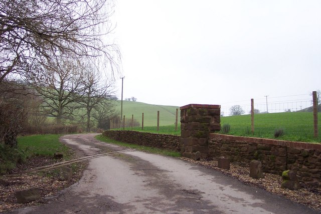
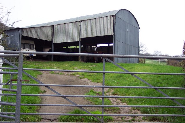
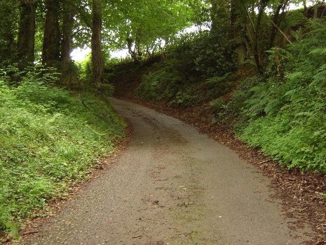
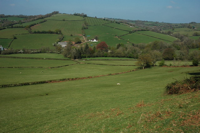
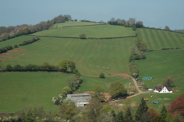
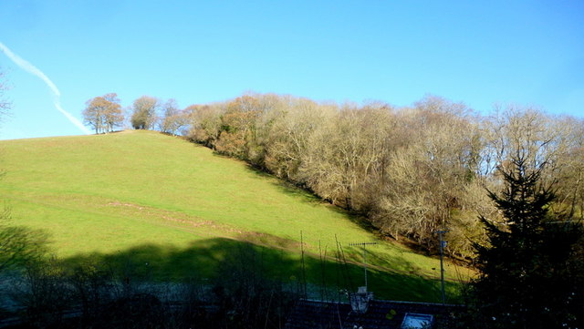
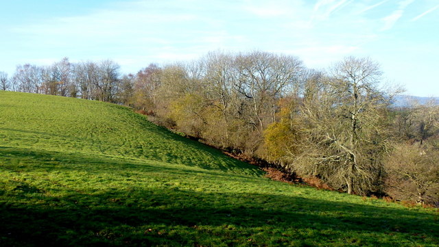
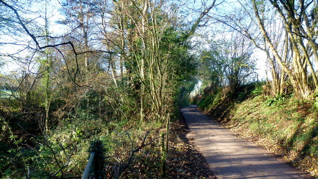
Coed y Prior is a picturesque woodland located in Monmouthshire, Wales. Covering an area of approximately 500 acres, it is often referred to as a forest due to its dense and lush vegetation. The woodland is situated near the town of Abergavenny and is easily accessible to visitors from surrounding areas.
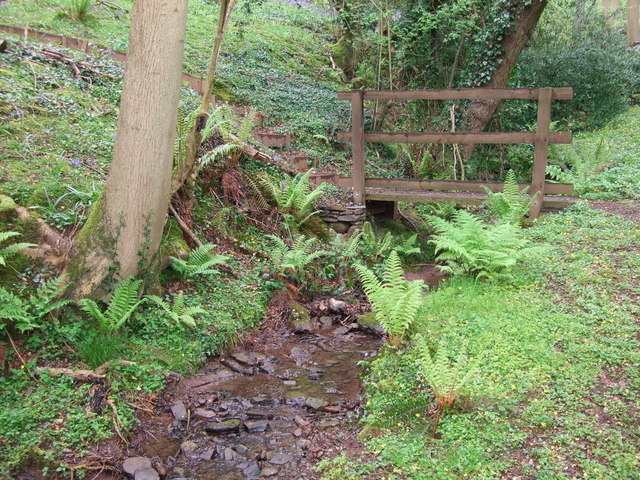
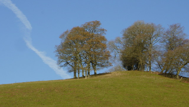
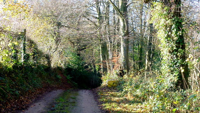
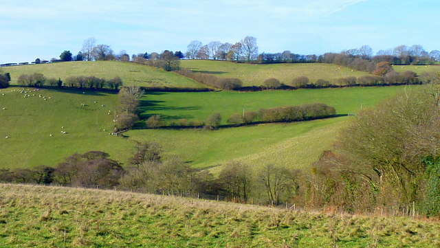
Coed y Prior offers a tranquil and peaceful retreat for nature enthusiasts and outdoor lovers. The woodland is mainly composed of broadleaf trees, including oak, beech, and birch, creating a vibrant and colorful canopy throughout the year. The forest floor is adorned with a variety of wildflowers and ferns, adding to the beauty of the landscape.
The woodland is managed by the Woodland Trust, ensuring the preservation and conservation of the natural habitat. Coed y Prior provides a habitat for a diverse range of wildlife, including birds, mammals, and insects. Visitors may spot species such as red kites, woodpeckers, and foxes, among others, while exploring the trails and paths that wind through the wood.
For outdoor enthusiasts, Coed y Prior offers opportunities for walking, hiking, and cycling. There are well-maintained trails that cater to different levels of difficulty, allowing visitors of all ages and abilities to enjoy the woodland. Additionally, the woodland is equipped with picnic areas, making it an ideal spot for a family day out or a peaceful lunch surrounded by nature.
Overall, Coed y Prior in Monmouthshire is a captivating woodland with its enchanting beauty, diverse wildlife, and recreational activities, making it an excellent destination for nature lovers and those seeking a peaceful escape from the hustle and bustle of everyday life.
If you have any feedback on the listing, please let us know in the comments section below.
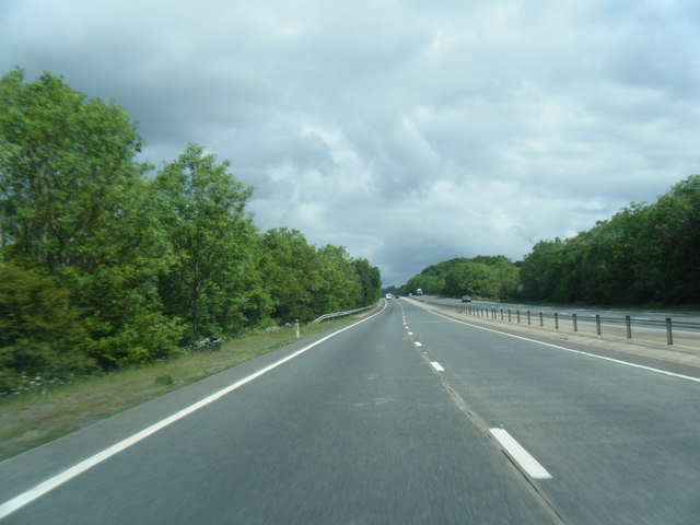
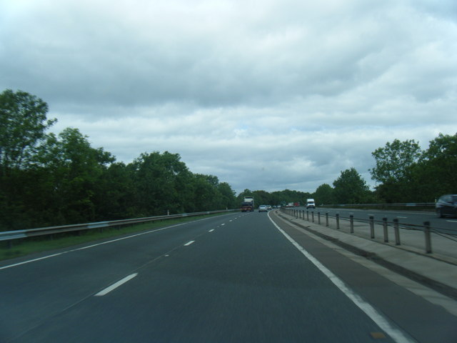
Coed y Prior Images
Images are sourced within 2km of 51.677075/-2.8840967 or Grid Reference ST3897. Thanks to Geograph Open Source API. All images are credited.
Coed y Prior is located at Grid Ref: ST3897 (Lat: 51.677075, Lng: -2.8840967)
Unitary Authority: Monmouthshire
Police Authority: Gwent
What 3 Words
///otherwise.readjust.asked. Near Llangybi, Monmouthshire
Nearby Locations
Related Wikis

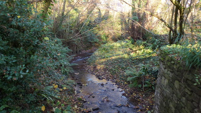
Olway Brook
The Olway Brook (Welsh: Nant Olwy) is a left bank tributary of the River Usk in Monmouthshire in south Wales. Arising from the confluence of several brooks...

Llanllowell
Llanllowell (Welsh: Llanllywel) is a village in Monmouthshire, southeast Wales, in the United Kingdom. It is two miles southeast of Usk, in the community...

The Cwm, Llantrisant, Monmouthshire
The Cwm, Llantrisant, Monmouthshire is a farmhouse dating from the 16th century. Expanded in both the 17th and 18th centuries, The Cwm is a Grade II* listed...
Llantrisant Fawr
Llantrisant Fawr is a community in Monmouthshire, Wales. Villages within the community include Llantrisant and Llanllowell. The community council has three...

Church of St Peter, St Paul and St John, Llantrisant
The Church of St Peter, St Paul and St John, is the parish church of Llantrisant, Monmouthshire, Wales. Described by the architectural historian, John...
Llantrisant, Monmouthshire
Llantrisant () is a village in Monmouthshire, south east Wales, United Kingdom. The community population at the 2011 census was 475. == Location == Llantrisant...

Pentwyn, Llanllowell
Pentwyn, Llanllowell, Monmouthshire is a farmhouse dating from the mid-16th century. The house is Grade II* listed, with the adjacent barn having its own...

Nantybanw, Llantrisant
Nantybanw, Llantrisant in Monmouthshire, Wales is a country house dating from 1625. The house is Grade II* listed and the associated farm buildings have...
Have you been to Coed y Prior?
Leave your review of Coed y Prior below (or comments, questions and feedback).