Allt Wood

Wood, Forest in Monmouthshire

Wales

Allt Wood

Ysguborwen Looking NorthWest
Ysguborwen Credit: Colin Bates

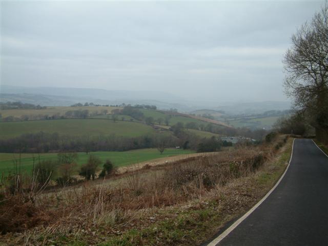
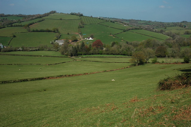
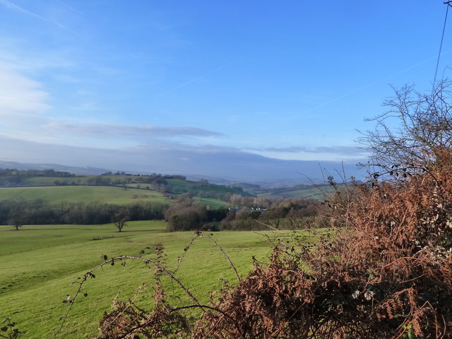
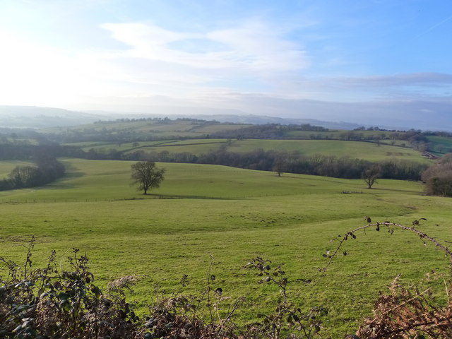
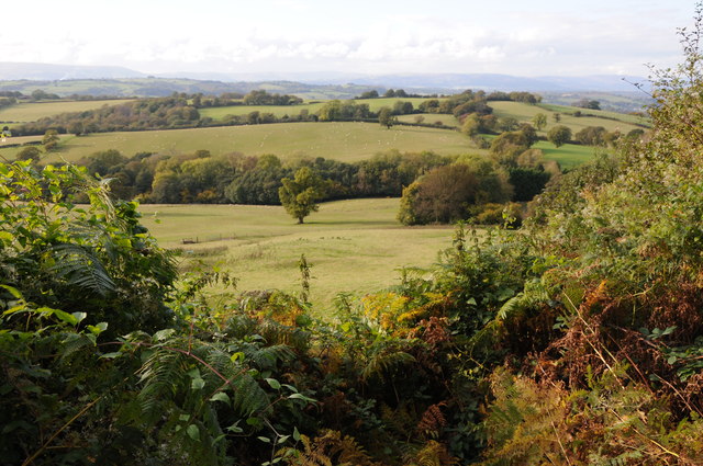
Allt Wood is a picturesque forest located in Monmouthshire, Wales. Covering an area of approximately 100 hectares, it is a popular destination for nature lovers, hikers, and birdwatchers. The woodland is situated on the eastern slopes of the Usk Valley and offers stunning views of the surrounding countryside.

The forest is predominantly made up of native broadleaf trees, including oak, beech, and ash. These mature trees create a dense canopy, providing a habitat for a wide variety of wildlife. Visitors to Allt Wood can expect to see an array of bird species, such as woodpeckers, owls, and warblers, as well as mammals like badgers, foxes, and deer.

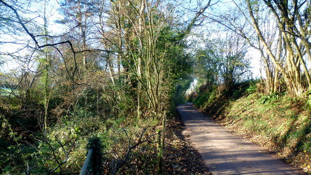
There are several well-marked walking trails throughout the wood, catering to different levels of fitness and interests. These trails offer visitors the opportunity to explore the diverse ecosystems within the forest, including ancient woodlands, meadows, and streams. Along the way, there are informative signs that provide educational information about the flora and fauna found in the area.

Allt Wood is also home to a number of historical features, including the ruins of an old Iron Age hillfort. This adds an extra layer of intrigue to the forest, making it a fascinating destination for history enthusiasts.

Overall, Allt Wood in Monmouthshire is a captivating woodland that offers visitors a chance to immerse themselves in nature, discover its rich biodiversity, and enjoy the tranquility of the Welsh countryside.

If you have any feedback on the listing, please let us know in the comments section below.
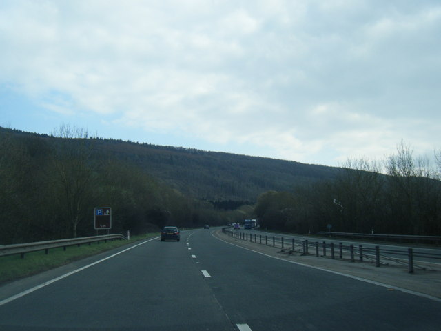
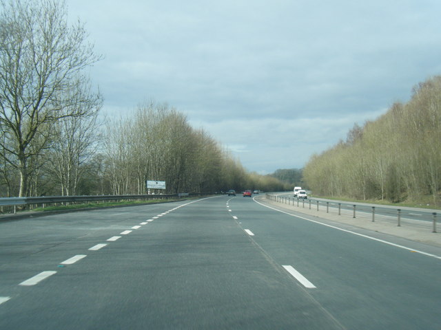
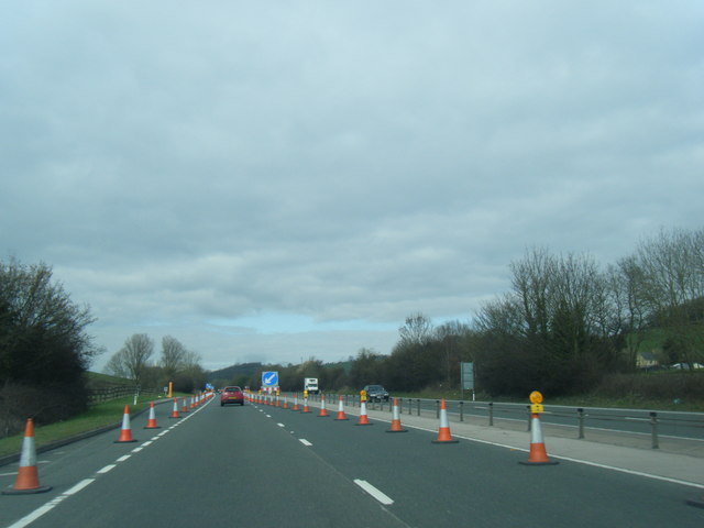
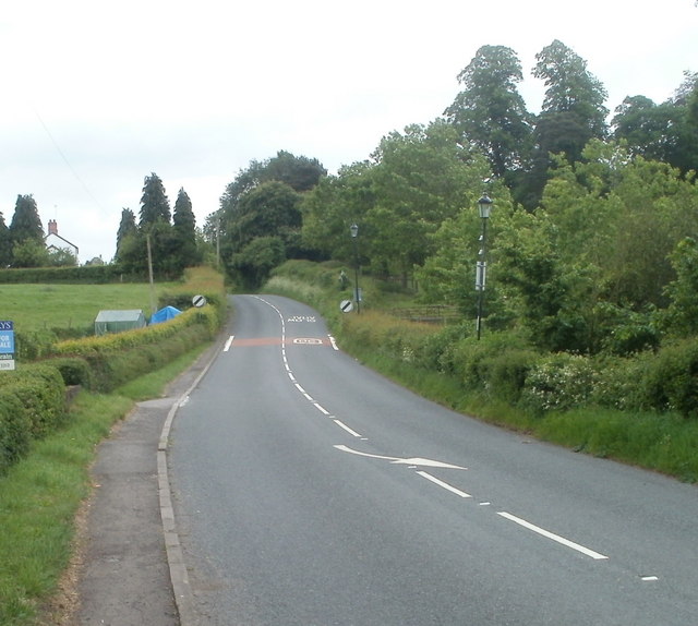
Allt Wood Images

Images are sourced within 2km of 51.658416/-2.8830828 or Grid Reference ST3995. Thanks to Geograph Open Source API. All images are credited.

Ysguborwen Looking NorthWest
Ysguborwen
Looking NorthWest
Barn at Arch Farm
Barn at Arch Farm
Track to Tump Farm Added description December 2014.
This is one of my early Geograph contributions, it needs straightening.
Track to Tump Farm
Added description December 2014. This is one of my early Geograph contributions, it needs straightening.
View north from Corn Hill Gwern-Ddu Hill viewed from Corn Hill.
View north from Corn Hill
Gwern-Ddu Hill viewed from Corn Hill.
View from farm entrance track, near Pen y Cae-Mawr
Field and view from farm track entrance, near Pen y Cae-Mawr
Farmland above the Usk valley Farmland above the Usk valley, viewed from the road descending from Pen-y-Cae-Mawr.
Farmland above the Usk valley
Farmland above the Usk valley, viewed from the road descending from Pen-y-Cae-Mawr.
Nant-y-banw Lane The Llantrisant Brook runs alongside to the left.
Nant-y-banw Lane
The Llantrisant Brook runs alongside to the left.
A449 east of Newbridge-on-Usk, looking south
A449 looking north
A449 looking north
A449 looking north near Llantrisant
Southern edge of Llangybi The road from Usk to Caerleon approaches the start of the National Speed Limit at the southern edge of the village of Llangybi (also spelt Llangibby).
Southern edge of Llangybi
The road from Usk to Caerleon approaches the start of the National Speed Limit at the southern edge of the village of Llangybi (also spelt Llangibby).
Road from Caerleon reaches Llangybi Llangybi (or Llangibby) is a village, population about a thousand, located 3 miles south of Usk and 5 miles north of Caerleon.
Road from Caerleon reaches Llangybi
Llangybi (or Llangibby) is a village, population about a thousand, located 3 miles south of Usk and 5 miles north of Caerleon.
Albert Cottage, Llangybi Located on the corner of Ton Road and the main road through the village.
Albert Cottage, Llangybi
Located on the corner of Ton Road and the main road through the village.
Ton Road, Llangybi Ton Road heads SW away from the main road through the village.
Ton Road, Llangybi
Ton Road heads SW away from the main road through the village.
Parc Road, Llangybi Viewed across the main road through the village. The sign on the left shows Llandegvedd Reservoir 3½ miles.
Parc Road, Llangybi
Viewed across the main road through the village. The sign on the left shows Llandegvedd Reservoir 3½ miles.
Llangybi Post Office and Village Shop Located on the east side of the main road through the village, facing Parc Road. <a title="https://www.geograph.org.uk/photo/2409704" href="https://www.geograph.org.uk/photo/2409704">Link</a>
Llangybi Post Office and Village Shop
Located on the east side of the main road through the village, facing Parc Road. Link
Wooden sculpture outside village shop and post office, Llangybi The sculpture of King Arthur, Guinevere and Merlin is in front of the village shop and post office. <a title="https://www.geograph.org.uk/photo/2409711" href="https://www.geograph.org.uk/photo/2409711">Link</a> 
The name of the village on the side of the building is spelt Llangibby, whereas the boundary signs <a title="https://www.geograph.org.uk/photo/2409676" href="https://www.geograph.org.uk/photo/2409676">Link</a> show Llangybi.
Wooden sculpture outside village shop and post office, Llangybi
The sculpture of King Arthur, Guinevere and Merlin is in front of the village shop and post office. Link The name of the village on the side of the building is spelt Llangibby, whereas the boundary signs Link show Llangybi.
Show me another place!

Allt Wood is located at Grid Ref: ST3995 (Lat: 51.658416, Lng: -2.8830828)

Unitary Authority: Monmouthshire

Police Authority: Gwent

What 3 Words

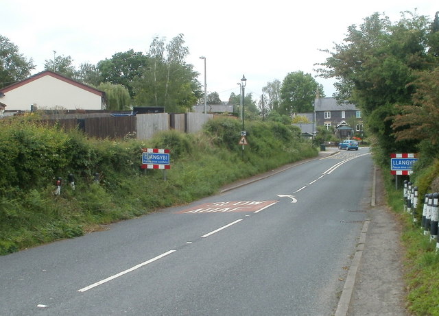
///cheetahs.bedspread.leaves. Near Llangybi, Monmouthshire

Nearby Locations

Allt Wood

Related Wikis

Llantrisant, Monmouthshire

Llantrisant () is a village in Monmouthshire, south east Wales, United Kingdom. The community population at the 2011 census was 475. == Location == Llantrisant...

Church of St Peter, St Paul and St John, Llantrisant

The Church of St Peter, St Paul and St John, is the parish church of Llantrisant, Monmouthshire, Wales. Described by the architectural historian, John...

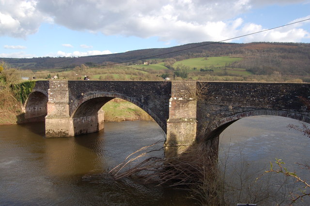
New Bridge, Newbridge-on-Usk

New Bridge crosses the River Usk at Newbridge-on-Usk between Usk and Caerleon. The bridge carries the B4236. It was constructed in 1779, probably by William...

Newbridge-on-Usk

Newbridge-on-Usk (Welsh: Pontnewydd ar Wysg) is a hamlet in the village and parish of Tredunnock, near Usk, Monmouthshire, south east Wales, in the United...

The Cwm, Llantrisant, Monmouthshire

The Cwm, Llantrisant, Monmouthshire is a farmhouse dating from the 16th century. Expanded in both the 17th and 18th centuries, The Cwm is a Grade II* listed...

St Andrew's Church, Tredunnock

The Church of St Andrew, Tredunnock, Monmouthshire is a parish church with its origins in the 12th or 13th century. A Grade II* listed building, the church...

Tredunnock

Tredunnock (Welsh: Tredynog) is a small village in Monmouthshire, south east Wales, in the United Kingdom. Tredunnock is located four miles (6.4 km) northeast...

Bertholey House

Bertholey House, is a country house near the village of Llantrisant, in Monmouthshire, Wales. A Tudor house originally stood on the site, the home of...

Have you been to Allt Wood?

Leave your review of Allt Wood below (or comments, questions and feedback).