Lightwood Plantation

Wood, Forest in Flintshire

Wales

Lightwood Plantation

Old Milestone by the A359, Overton Road, Penley, Maelor South Parish By the A539, Overton Road, in parish of Maelor South (Wrexham County Borough District), Penley, in verge by fence, South side of road.

Inscription reads:- : To / Whitchurch 10 / (Ruabon 7) :

To be surveyed

Milestone Society National ID: FLT_WTRB06
Old Milestone by the A359, Overton Road, Penley, Maelor South Parish Credit: Milestone Society

Lightwood Plantation is a sprawling forest located in Flintshire, Wales. Covering an area of approximately 300 acres, the plantation is home to a diverse range of flora and fauna, making it a popular destination for nature enthusiasts and hikers alike.

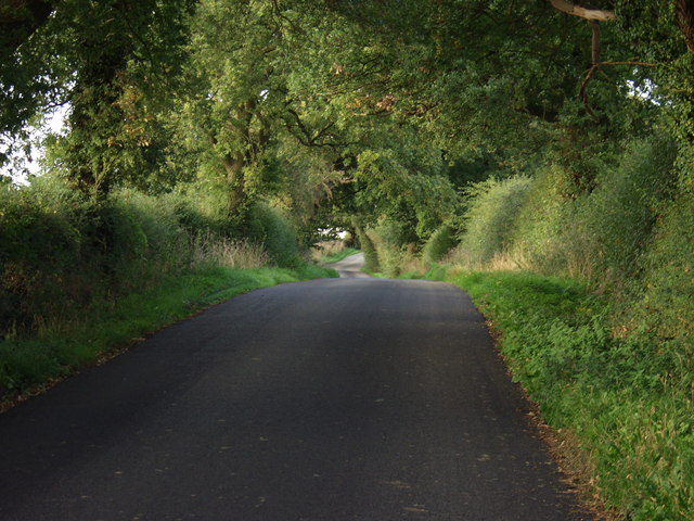
The forest is primarily made up of oak, beech, and birch trees, providing a picturesque backdrop for visitors to enjoy. A network of well-maintained walking trails wind their way through the forest, offering opportunities to explore the natural beauty of the area.

In addition to its natural beauty, Lightwood Plantation also has a rich history. Originally established in the 18th century as a timber plantation, the forest has played an important role in the local economy for centuries. Today, remnants of the plantation's past can still be seen, including old logging roads and remnants of sawmills.

Overall, Lightwood Plantation offers a peaceful and serene escape from the hustle and bustle of everyday life. Whether you're looking to take a leisurely stroll through the woods or simply enjoy the beauty of nature, this forest has something to offer for everyone.

If you have any feedback on the listing, please let us know in the comments section below.

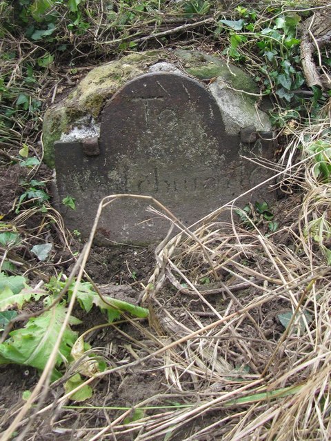
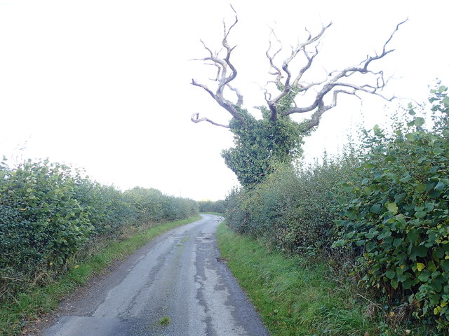
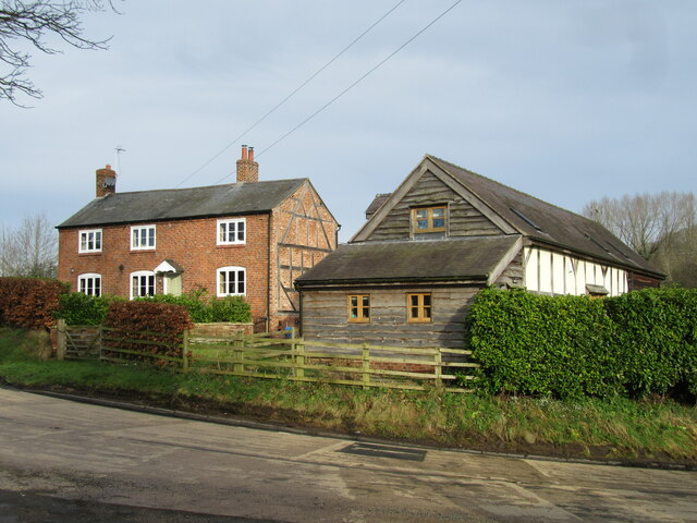
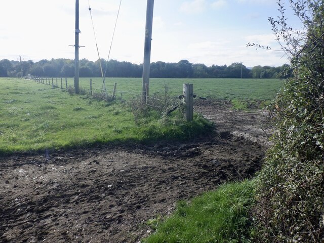
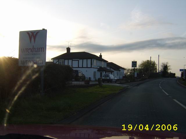
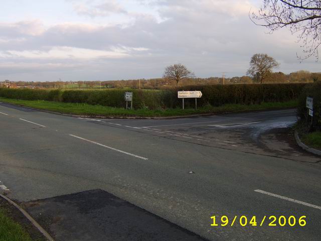
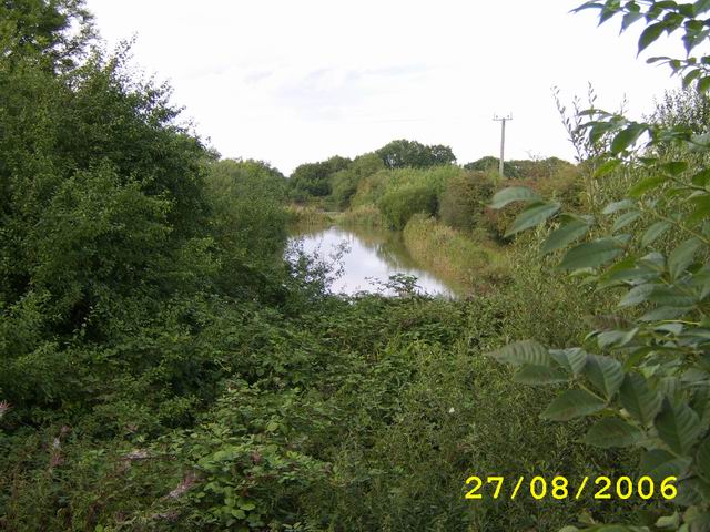
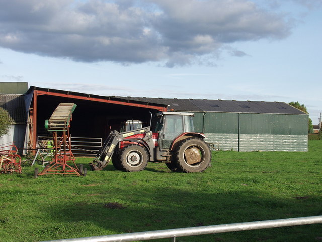
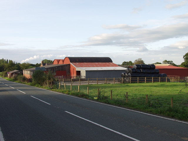
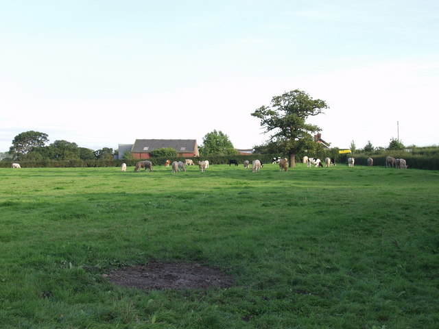
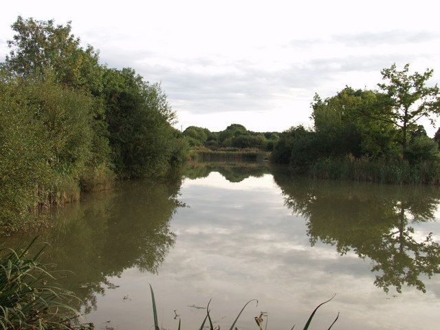
Lightwood Plantation Images

Images are sourced within 2km of 52.954212/-2.9192003 or Grid Reference SJ3840. Thanks to Geograph Open Source API. All images are credited.

Old Milestone by the A359, Overton Road, Penley, Maelor South Parish By the A539, Overton Road, in parish of Maelor South (Wrexham County Borough District), Penley, in verge by fence, South side of road.

Inscription reads:- : To / Whitchurch 10 / (Ruabon 7) :

To be surveyed

Milestone Society National ID: FLT_WTRB06
Old Milestone by the A359, Overton Road, Penley, Maelor South Parish
By the A539, Overton Road, in parish of Maelor South (Wrexham County Borough District), Penley, in verge by fence, South side of road. Inscription reads:- : To / Whitchurch 10 / (Ruabon 7) : To be surveyed Milestone Society National ID: FLT_WTRB06
Dead Tree, but green with ivy
Timber construction in evidence In house and restored barn adjacent to the A539.
Timber construction in evidence
In house and restored barn adjacent to the A539.
Cow path, Goblindale The walk to the milking parlour.
Cow path, Goblindale
The walk to the milking parlour.
Crossing The Border Crossing into Wales between Ellesmere And Wrexham, The black and white building is The Trotting Mare Public House
Crossing The Border
Crossing into Wales between Ellesmere And Wrexham, The black and white building is The Trotting Mare Public House
Eastwick Crossroad
Eastwick Crossroad
Country House and Barn
Disused Railway Route
Buildings at  Rhewl Farm Relatively modern buildings at the back of this mixed livestock farm.
Buildings at Rhewl Farm
Relatively modern buildings at the back of this mixed livestock farm.
Crab Mill Farm This mixed livestock livestock farm is for sale, "with a comphrehensive range of livestock buildings". There is outline planning for conversion of two of the buildings to residential use.
Crab Mill Farm
This mixed livestock livestock farm is for sale, "with a comphrehensive range of livestock buildings". There is outline planning for conversion of two of the buildings to residential use.
Cattle grazing near Crab Mill Farm Beef type steers grazing the excellent grass that has grown following the return to wet and warm weather.
Cattle grazing near Crab Mill Farm
Beef type steers grazing the excellent grass that has grown following the return to wet and warm weather.
Red Hall Lane near Parkley Farm Typical North Shropshire lane with mature trees and high well maintained hedges.
Red Hall Lane near Parkley Farm
Typical North Shropshire lane with mature trees and high well maintained hedges.
Fishing ponds at Trench These ponds have been made by flooding what was a cutting on the closed Ellesmere to Bangor-is-y-coed railway.
Fishing ponds at Trench
These ponds have been made by flooding what was a cutting on the closed Ellesmere to Bangor-is-y-coed railway.
Buildings at Trench Farm A mix of buildings many of which are not used or used for non agricultural activities. Crop of maize on right waiting the first frost to dry the leaves before harvest.
Buildings at Trench Farm
A mix of buildings many of which are not used or used for non agricultural activities. Crop of maize on right waiting the first frost to dry the leaves before harvest.
Silage stubble at Trench Farm Last cut of silage this year and stubble should provide a bit more grazing later in the year. The two areas in this field with scrubby trees are what I believe to be "dew ponds" which were shallow depressions in the clay which provided waterings for cattle and also water supply. This area has many of these, some farms have one in every field.
Silage stubble at Trench Farm
Last cut of silage this year and stubble should provide a bit more grazing later in the year. The two areas in this field with scrubby trees are what I believe to be "dew ponds" which were shallow depressions in the clay which provided waterings for cattle and also water supply. This area has many of these, some farms have one in every field.
Cows and buildings at Red Hall Farm The cooler wetter weather has brought what looks like a "spring flush" to the grazings all over this area. Here the black and whites enjoy a pleasant evening.
Cows and buildings at Red Hall Farm
The cooler wetter weather has brought what looks like a "spring flush" to the grazings all over this area. Here the black and whites enjoy a pleasant evening.
Red Hall Lane at Red Hall Farm The lane is more open here and there are less trees, probably due to the historical management of the hedges. See <a href="https://www.geograph.org.uk/gridref/SJ3838">SJ3838</a>
Red Hall Lane at Red Hall Farm
The lane is more open here and there are less trees, probably due to the historical management of the hedges. See SJ3838
Farm buildings at The Croft A range of 1940's farm buildings, probably built under government rural development schemes.
Farm buildings at The Croft
A range of 1940's farm buildings, probably built under government rural development schemes.
Show me another place!

Lightwood Plantation is located at Grid Ref: SJ3840 (Lat: 52.954212, Lng: -2.9192003)

Unitary Authority: Wrexham

Police Authority: North Wales

What 3 Words

///renews.tides.inspects. Near Overton, Wrexham

Related Wikis

Overton-on-Dee railway station

Overton-on-Dee railway station was a station to the southeast of Overton-on-Dee, Wrexham, Wales at Lightwood Green. The station was opened on 2 November...

Knolton

Knolton () is a hamlet in Wrexham County Borough, Wales, close to the border with Shropshire, England. It is in Overton parish, and is 5½ miles ENE of...

Trench Halt railway station

Trench Halt railway station was a station to the northwest of Dudleston Heath, Shropshire, England. The station was opened in 1914 and closed in 1962....

Overton-on-Dee

Overton (Welsh: Owrtyn) or Overton-on-Dee is a village and community in Wrexham County Borough, Wales. It is situated close to the Welsh-English border...

Nearby Amenities

Located within 500m of 52.954212,-2.9192003
Trench Farm Airstrip
Aeroway: aerodrome
Source: https://www.abct.org.uk/airfields/airfield-finder/trench-farm/
Lat/Long: 52.9520782/-2.9224392
The data included in this document is from www.openstreetmap.org. The data is made available under ODbL.

Have you been to Lightwood Plantation?

Leave your review of Lightwood Plantation below (or comments, questions and feedback).