Lightwood Green

Settlement in Flintshire

Wales

Lightwood Green

Old Milestone by the A359, Overton Road, Penley, Maelor South Parish By the A539, Overton Road, in parish of Maelor South (Wrexham County Borough District), Penley, in verge by fence, South side of road.

Inscription reads:- : To / Whitchurch 10 / (Ruabon 7) :

To be surveyed

Milestone Society National ID: FLT_WTRB06
Old Milestone by the A359, Overton Road, Penley, Maelor South Parish Credit: Milestone Society

Lightwood Green is a small village located in Flintshire, Wales. It is situated near the larger towns of Mold and Buckley, and is surrounded by picturesque countryside. The village is known for its peaceful and rural setting, making it a popular choice for those looking to escape the hustle and bustle of city life.

Lightwood Green is home to a mix of residential properties, ranging from quaint cottages to larger, more modern houses. There is a small primary school in the village, providing education for local children, as well as a village hall which hosts various community events throughout the year.

Although Lightwood Green is a quiet and tranquil village, it is just a short drive away from amenities such as shops, restaurants, and recreational facilities in Mold and Buckley. The village is also well-connected by road, with easy access to the A494 and A55, making it convenient for commuters to travel to nearby towns and cities.

Overall, Lightwood Green offers a peaceful and idyllic setting for residents, with a strong sense of community and a close-knit atmosphere.

If you have any feedback on the listing, please let us know in the comments section below.

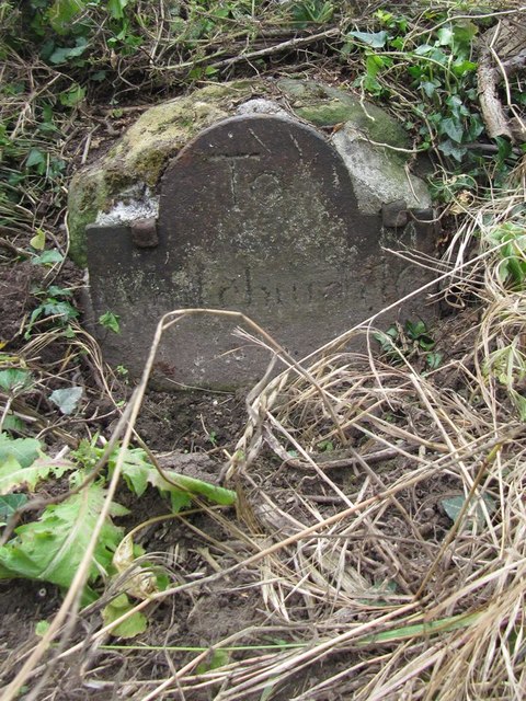
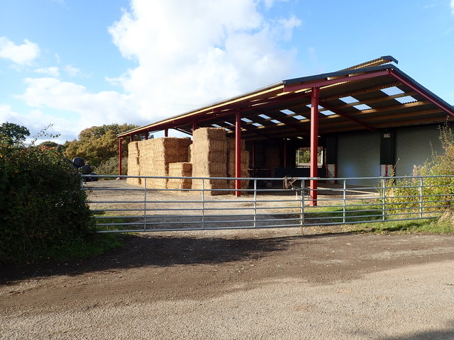
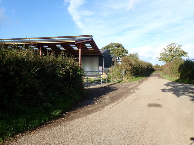
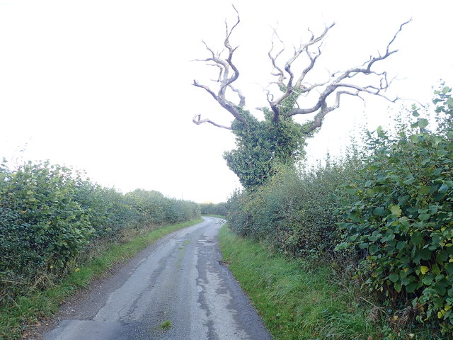
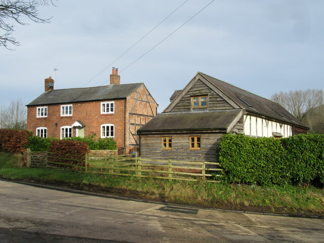
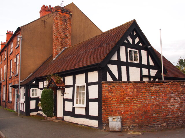
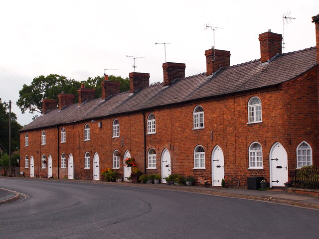
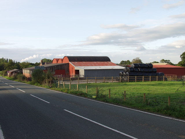
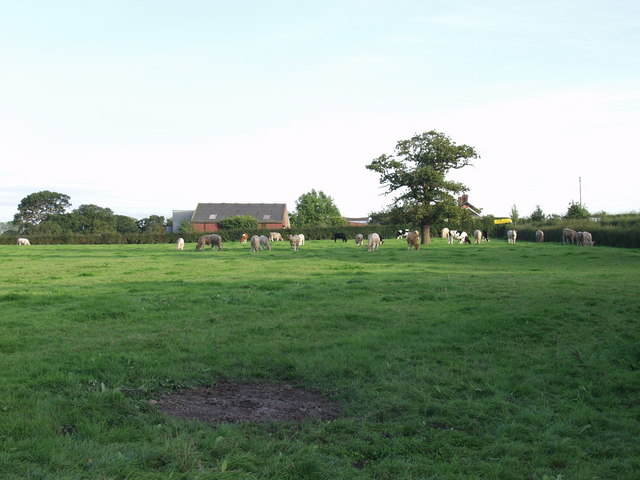
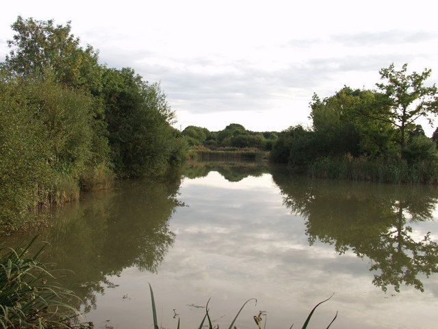
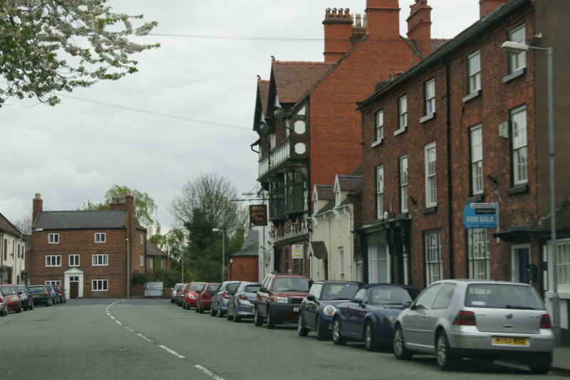
Lightwood Green Images

Images are sourced within 2km of 52.961761/-2.912584 or Grid Reference SJ3840. Thanks to Geograph Open Source API. All images are credited.

Old Milestone by the A359, Overton Road, Penley, Maelor South Parish By the A539, Overton Road, in parish of Maelor South (Wrexham County Borough District), Penley, in verge by fence, South side of road.

Inscription reads:- : To / Whitchurch 10 / (Ruabon 7) :

To be surveyed

Milestone Society National ID: FLT_WTRB06
Old Milestone by the A359, Overton Road, Penley, Maelor South Parish
By the A539, Overton Road, in parish of Maelor South (Wrexham County Borough District), Penley, in verge by fence, South side of road. Inscription reads:- : To / Whitchurch 10 / (Ruabon 7) : To be surveyed Milestone Society National ID: FLT_WTRB06
Barn on Burgess Lane
Farm buildings, Burgess Lane
Dead Tree, but green with ivy
Timber construction in evidence In house and restored barn adjacent to the A539.
Timber construction in evidence
In house and restored barn adjacent to the A539.
Church Cottage, Overton
Dispensary Row, Overton Built around 1800.
Dispensary Row, Overton
Built around 1800.
Country House and Barn
Crab Mill Farm This mixed livestock livestock farm is for sale, "with a comphrehensive range of livestock buildings". There is outline planning for conversion of two of the buildings to residential use.
Crab Mill Farm
This mixed livestock livestock farm is for sale, "with a comphrehensive range of livestock buildings". There is outline planning for conversion of two of the buildings to residential use.
Cattle grazing near Crab Mill Farm Beef type steers grazing the excellent grass that has grown following the return to wet and warm weather.
Cattle grazing near Crab Mill Farm
Beef type steers grazing the excellent grass that has grown following the return to wet and warm weather.
Fishing ponds at Trench These ponds have been made by flooding what was a cutting on the closed Ellesmere to Bangor-is-y-coed railway.
Fishing ponds at Trench
These ponds have been made by flooding what was a cutting on the closed Ellesmere to Bangor-is-y-coed railway.
Buildings at Trench Farm A mix of buildings many of which are not used or used for non agricultural activities. Crop of maize on right waiting the first frost to dry the leaves before harvest.
Buildings at Trench Farm
A mix of buildings many of which are not used or used for non agricultural activities. Crop of maize on right waiting the first frost to dry the leaves before harvest.
Silage stubble at Trench Farm Last cut of silage this year and stubble should provide a bit more grazing later in the year. The two areas in this field with scrubby trees are what I believe to be "dew ponds" which were shallow depressions in the clay which provided waterings for cattle and also water supply. This area has many of these, some farms have one in every field.
Silage stubble at Trench Farm
Last cut of silage this year and stubble should provide a bit more grazing later in the year. The two areas in this field with scrubby trees are what I believe to be "dew ponds" which were shallow depressions in the clay which provided waterings for cattle and also water supply. This area has many of these, some farms have one in every field.
Cows and buildings at Red Hall Farm The cooler wetter weather has brought what looks like a "spring flush" to the grazings all over this area. Here the black and whites enjoy a pleasant evening.
Cows and buildings at Red Hall Farm
The cooler wetter weather has brought what looks like a "spring flush" to the grazings all over this area. Here the black and whites enjoy a pleasant evening.
Red Hall Lane at Red Hall Farm The lane is more open here and there are less trees, probably due to the historical management of the hedges. See <a href="https://www.geograph.org.uk/gridref/SJ3838">SJ3838</a>
Red Hall Lane at Red Hall Farm
The lane is more open here and there are less trees, probably due to the historical management of the hedges. See SJ3838
Farm buildings at The Croft A range of 1940's farm buildings, probably built under government rural development schemes.
Farm buildings at The Croft
A range of 1940's farm buildings, probably built under government rural development schemes.
Over the Hill This sign post from Sandy Lane pointed in the direction of little green but no indication of how far it may have been.
Over the Hill
This sign post from Sandy Lane pointed in the direction of little green but no indication of how far it may have been.
Well Defined The signpost indicated a choice but the weather ruled against either.
Well Defined
The signpost indicated a choice but the weather ruled against either.
Show me another place!

Lightwood Green is located at Grid Ref: SJ3840 (Lat: 52.961761, Lng: -2.912584)

Unitary Authority: Wrexham

Police Authority: North Wales

What 3 Words

///relies.arts.tidy. Near Overton, Wrexham

Related Wikis

Overton-on-Dee railway station

Overton-on-Dee railway station was a station to the southeast of Overton-on-Dee, Wrexham, Wales at Lightwood Green. The station was opened on 2 November...

Cloy Halt railway station

Cloy Halt railway station was a station to the east of Overton-on-Dee, Wrexham, Wales. The station was opened on 30 June 1932 and closed on 10 September...

Cloy Brook Pastures

Cloy Brook Pastures is a Site of Special Scientific Interest in the preserved county of Clwyd, north Wales. It is an area of wet pasture managed by grazing...

Overton-on-Dee

Overton (Welsh: Owrtyn) or Overton-on-Dee is a village and community in Wrexham County Borough, Wales. It is situated close to the Welsh-English border...

Nearby Amenities

Located within 500m of 52.961761,-2.912584
Lightwood Green
Name Cy: Lightwood Green
Name En: Lightwood Green
Place: village
Wikidata: Q107032608
Lat/Long: 52.9599141/-2.9141954
Overton-on-Dee
Historic Railway: station
Razed Railway: site
Lat/Long: 52.9603866/-2.9119069
Power: pole
Lat/Long: 52.9602793/-2.9188885
Power: pole
Lat/Long: 52.9603051/-2.9170673
Power: pole
Lat/Long: 52.9603342/-2.9155116
Power: pole
Lat/Long: 52.9609853/-2.9174669
Power: pole
Lat/Long: 52.9616421/-2.9183681
Power: pole
Lat/Long: 52.9621025/-2.9190529
Power: pole
Lat/Long: 52.9605579/-2.9170714
Power: pole
Lat/Long: 52.9599637/-2.9165215
Power: pole
Lat/Long: 52.9601755/-2.9110492
The data included in this document is from www.openstreetmap.org. The data is made available under ODbL.

Have you been to Lightwood Green?

Leave your review of Lightwood Green below (or comments, questions and feedback).