Coed Gawr

Wood, Forest in Monmouthshire

Wales

Coed Gawr

Cilfeigan Farm This is Cilfeigan Farm, hard to find.
Cilfeigan Farm Credit: Nick Mutton 01329 000000

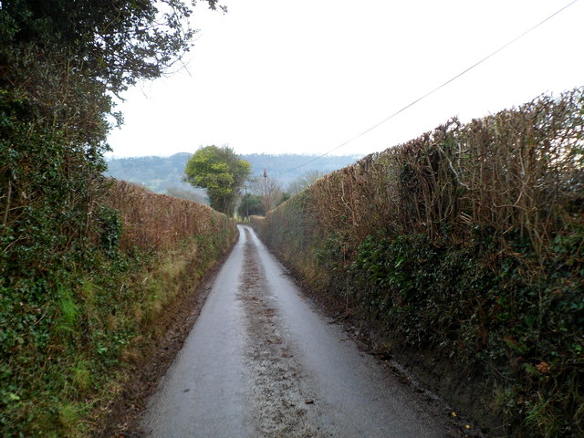
Coed Gawr is a woodland located in Monmouthshire, Wales. Spanning over a vast area, it is considered one of the most picturesque and ancient forests in the region. The name "Coed Gawr" translates to "Big Wood," reflecting its expansive size and dense vegetation.

The forest is predominantly composed of deciduous trees, including oak, beech, and ash, which form a dense canopy overhead. The rich biodiversity of the woodland provides a habitat for a variety of flora and fauna, making it a popular spot for nature enthusiasts and wildlife enthusiasts alike.

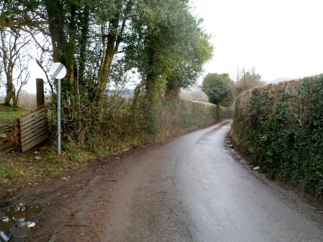
Coed Gawr offers a range of walking trails, allowing visitors to explore its natural beauty. The trails wind through the forest, passing by babbling brooks, moss-covered rocks, and vibrant wildflowers. The peaceful ambiance and tranquility of the woodland make it an ideal location for a leisurely stroll or a peaceful retreat.

In addition to its natural beauty, Coed Gawr holds historical significance. The forest has been mentioned in ancient texts and folklore, contributing to its mythical charm. Many ancient ruins and archaeological sites are scattered throughout the woodland, providing glimpses into its rich history and cultural heritage.

Overall, Coed Gawr in Monmouthshire is a captivating destination for nature lovers, history enthusiasts, and those seeking solace in the midst of nature. Its lush vegetation, diverse wildlife, and ancient ruins make it a truly enchanting place to visit.

If you have any feedback on the listing, please let us know in the comments section below.
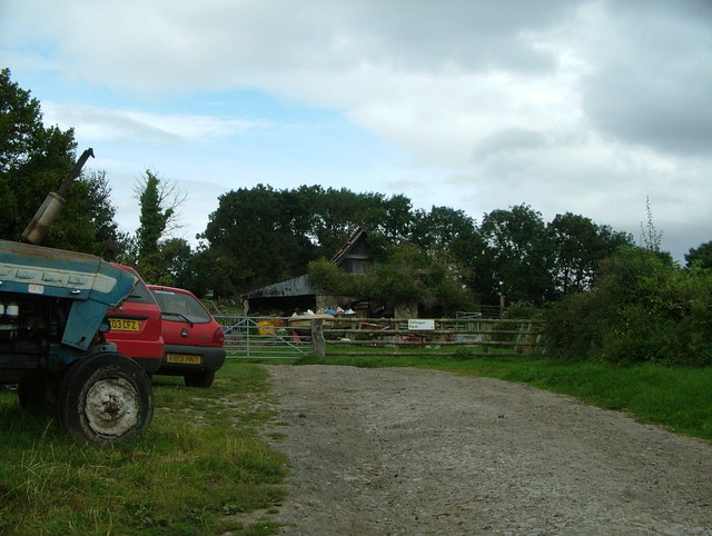
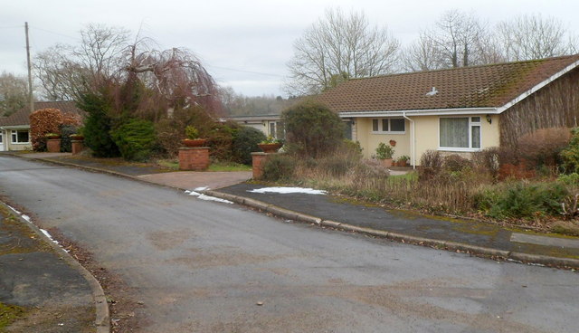
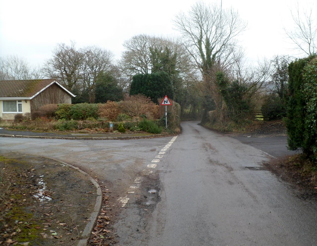
Coed Gawr Images

Images are sourced within 2km of 51.679584/-2.9384415 or Grid Reference ST3598. Thanks to Geograph Open Source API. All images are credited.

Cilfeigan Farm This is Cilfeigan Farm, hard to find.
Cilfeigan Farm
This is Cilfeigan Farm, hard to find.
Wellfield Close houses, Coed-y-paen In view are two of the three houses in Wellfield Close.
Wellfield Close houses, Coed-y-paen
In view are two of the three houses in Wellfield Close.
Disorderly collapsed lorry, Coed-y-paen I was wondering how to describe the central feature of this view
when I found this in the 2011 Best Kept Village judges' comments:

"Disorderly collapsed lorry in field on edge of village"
Disorderly collapsed lorry, Coed-y-paen
I was wondering how to describe the central feature of this view when I found this in the 2011 Best Kept Village judges' comments: "Disorderly collapsed lorry in field on edge of village"
Wellfield House, Coed-y-paen Located alongside the main road through the village, opposite a road junction.
Wellfield House, Coed-y-paen
Located alongside the main road through the village, opposite a road junction.
Old-style and new-style signs, Coed-y-paen Located at the edge of Wellfield House. <a title="https://www.geograph.org.uk/photo/3127499" href="https://www.geograph.org.uk/photo/3127499">Link</a>
Above a modern sign pointing left towards Pontypool and Llandegfedd Reservoir
is a small old-style sign pointing left towards New Inn (3 miles).
Old-style and new-style signs, Coed-y-paen
Located at the edge of Wellfield House. Link Above a modern sign pointing left towards Pontypool and Llandegfedd Reservoir is a small old-style sign pointing left towards New Inn (3 miles).
Road to Cwmbran from Coed-y-paen A nearby sign shows 1 mile to Sôr Brook picnic area <a title="https://www.geograph.org.uk/photo/1751326," href="https://www.geograph.org.uk/photo/1751326,">Link</a> and 3 miles to Cwmbran.
Road to Cwmbran from Coed-y-paen
A nearby sign shows 1 mile to Sôr Brook picnic area Link and 3 miles to Cwmbran.
3 miles from Coed-y-paen to Llangybi The sign opposite Wellfield House <a title="https://www.geograph.org.uk/photo/3127499" href="https://www.geograph.org.uk/photo/3127499">Link</a> 
shows that Llangybi is 3 miles away and Glascoed Village half a mile less.
3 miles from Coed-y-paen to Llangybi
The sign opposite Wellfield House Link shows that Llangybi is 3 miles away and Glascoed Village half a mile less.
House construction, Coed-y-paen An early February 2012 view of a new house adjacent to Wellfield House. <a title="https://www.geograph.org.uk/photo/3127499" href="https://www.geograph.org.uk/photo/3127499">Link</a>
House construction, Coed-y-paen
An early February 2012 view of a new house adjacent to Wellfield House. Link
Coed-y-paen : a track to The Forest Pointing along this track, a signpost alongside the main road through the village shows 
The Forest 1.6 KM.
Coed-y-paen : a track to The Forest
Pointing along this track, a signpost alongside the main road through the village shows The Forest 1.6 KM.
Christchurch, Coed-y-paen The medieval Church in Wales church was built in the Gothic Decorated style.
Its dominant feature is the crenellated tower.
Christchurch, Coed-y-paen
The medieval Church in Wales church was built in the Gothic Decorated style. Its dominant feature is the crenellated tower.
From church to pub, Coed-y-paen A view from the entrance to the village church <a title="https://www.geograph.org.uk/photo/3128844" href="https://www.geograph.org.uk/photo/3128844">Link</a> past a Victorian postbox <a title="https://www.geograph.org.uk/photo/2269308" href="https://www.geograph.org.uk/photo/2269308">Link</a> in the wall, towards the Carpenters Arms. <a title="https://www.geograph.org.uk/photo/2269304" href="https://www.geograph.org.uk/photo/2269304">Link</a>
From church to pub, Coed-y-paen
A view from the entrance to the village church Link past a Victorian postbox Link in the wall, towards the Carpenters Arms. Link
Wooden bus shelter, Coed-y-paen Located opposite the entrance to the village church <a title="https://www.geograph.org.uk/photo/3128844" href="https://www.geograph.org.uk/photo/3128844">Link</a> are a litter bin, three steps up to a notice board, a wooden bus shelter with a slate roof, and a grit bin (the contents of which are used to treat icy or snowy roads).
Wooden bus shelter, Coed-y-paen
Located opposite the entrance to the village church Link are a litter bin, three steps up to a notice board, a wooden bus shelter with a slate roof, and a grit bin (the contents of which are used to treat icy or snowy roads).
Coed-y-paen junction Ahead for the village church <a title="https://www.geograph.org.uk/photo/3128844" href="https://www.geograph.org.uk/photo/3128844">Link</a> and the Carpenters Arms. <a title="https://www.geograph.org.uk/photo/2269304" href="https://www.geograph.org.uk/photo/2269304">Link</a>
Left for the reservoir and Pontypool, right for Llangibby (also spelt Llangybi).
Coed-y-paen junction
Ahead for the village church Link and the Carpenters Arms. Link Left for the reservoir and Pontypool, right for Llangibby (also spelt Llangybi).
Spindle Tree Cottage, Coed-y-paen Located on the south side of a T-junction, facing the road 
to the village church <a title="https://www.geograph.org.uk/photo/3128844" href="https://www.geograph.org.uk/photo/3128844">Link</a> and the Carpenters Arms. <a title="https://www.geograph.org.uk/photo/2269304" href="https://www.geograph.org.uk/photo/2269304">Link</a>
Spindle Tree Cottage, Coed-y-paen
Located on the south side of a T-junction, facing the road to the village church Link and the Carpenters Arms. Link
Coed-y-paen bungalows The bungalows are located in an unnamed cul-de-sac on the north side of the main road through the village. All the bungalows have names, so in a small village, there is no need for a street name.
Coed-y-paen bungalows
The bungalows are located in an unnamed cul-de-sac on the north side of the main road through the village. All the bungalows have names, so in a small village, there is no need for a street name.
Bends ahead on the road east from Coed-y-paen Near the eastern edge of the village, the road to Llangybi
passes an unnamed cul-de-sac of bungalows. <a title="https://www.geograph.org.uk/photo/3128921" href="https://www.geograph.org.uk/photo/3128921">Link</a>
Bends ahead on the road east from Coed-y-paen
Near the eastern edge of the village, the road to Llangybi passes an unnamed cul-de-sac of bungalows. Link
End of the 30 mph speed limit in Coed-y-paen Although this location is some distance from the eastern boundary of Coed-y-paen, the main residential part of the village is behind the camera, so the 30mph speed limit increases to the National Speed Limit ahead, on the road to Llangybi.
End of the 30 mph speed limit in Coed-y-paen
Although this location is some distance from the eastern boundary of Coed-y-paen, the main residential part of the village is behind the camera, so the 30mph speed limit increases to the National Speed Limit ahead, on the road to Llangybi.
The car is king, Coed-y-paen A few metres behind the camera, the 30mph speed limit through the residential part of the village increased <a title="https://www.geograph.org.uk/photo/3129029" href="https://www.geograph.org.uk/photo/3129029">Link</a> to the National Speed Limit ahead. This means that cars can travel at up to 60mph along this narrow road lined with vertical hedges and with no provision for walkers.
The car is king, Coed-y-paen
A few metres behind the camera, the 30mph speed limit through the residential part of the village increased Link to the National Speed Limit ahead. This means that cars can travel at up to 60mph along this narrow road lined with vertical hedges and with no provision for walkers.
Show me another place!

Coed Gawr is located at Grid Ref: ST3598 (Lat: 51.679584, Lng: -2.9384415)

Unitary Authority: Monmouthshire

Police Authority: Gwent

What 3 Words

///term.heat.unscathed. Near Llangybi, Monmouthshire

Related Wikis

HM Prison Prescoed

HM Prison Prescoed (Welsh: Carchar Prescoed EF) is a Category D men's open prison, located in Coed-y-paen, three miles from Usk in Monmouthshire, Wales...

Tregrug Castle

Tregrug Castle (Welsh: Castell Tregrug; Welsh pronunciation: [ˈkastɛɬ trɛˈɡriːɡ]) or Llangibby Castle is a ruin in Monmouthshire, Wales, located about...

Usk Inlier

The Usk Inlier is a domed outcrop of rock strata of Silurian age in Monmouthshire in south-eastern Wales. It is located in the countryside between the...

Coed-y-paen

Coed-y-paen is a village in South Wales, situated at the south-eastern end of Llandegfedd Reservoir, 2.5 miles (4 km) north-west of Llangybi. HM Prison...

Nearby Amenities

Located within 500m of 51.679584,-2.9384415
Created By: GPSBabel-1.3.6
Lat/Long: 51.679849/-2.944375
Created By: GPSBabel-1.3.6
Lat/Long: 51.679956/-2.94428
Created By: GPSBabel-1.3.6
Lat/Long: 51.680064/-2.944198
Created By: GPSBabel-1.3.6
Lat/Long: 51.680716/-2.94326
Created By: GPSBabel-1.3.6
Lat/Long: 51.68078/-2.943166
Created By: GPSBabel-1.3.6
Lat/Long: 51.680836/-2.943077
Created By: GPSBabel-1.3.6
Lat/Long: 51.682546/-2.941315
Created By: GPSBabel-1.3.6
Lat/Long: 51.682282/-2.941681
Created By: GPSBabel-1.3.6
Lat/Long: 51.682208/-2.941777
Created By: GPSBabel-1.3.6
Lat/Long: 51.682124/-2.941864
Created By: GPSBabel-1.3.6
Lat/Long: 51.68098/-2.942939
Created By: GPSBabel-1.3.6
Lat/Long: 51.675418/-2.939211
Created By: GPSBabel-1.3.6
Lat/Long: 51.675273/-2.938898
Power: pole
Lat/Long: 51.682526/-2.9378571
Power: pole
Lat/Long: 51.6813578/-2.9395925
Power: pole
Lat/Long: 51.6806493/-2.9406117
Power: pole
Lat/Long: 51.6795508/-2.9422304
Power: pole
Lat/Long: 51.678503/-2.9454035
The data included in this document is from www.openstreetmap.org. The data is made available under ODbL.

Have you been to Coed Gawr?

Leave your review of Coed Gawr below (or comments, questions and feedback).