Duke's Brake

Wood, Forest in Monmouthshire

Wales

Duke's Brake

Converted Baptist chapel near Llangibby This old Victorian chapel has been converted into a home.
Converted Baptist chapel near Llangibby Credit: Jeremy Bolwell

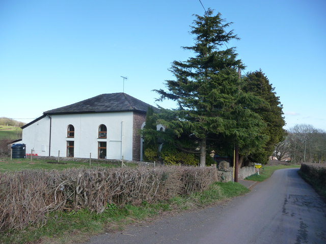
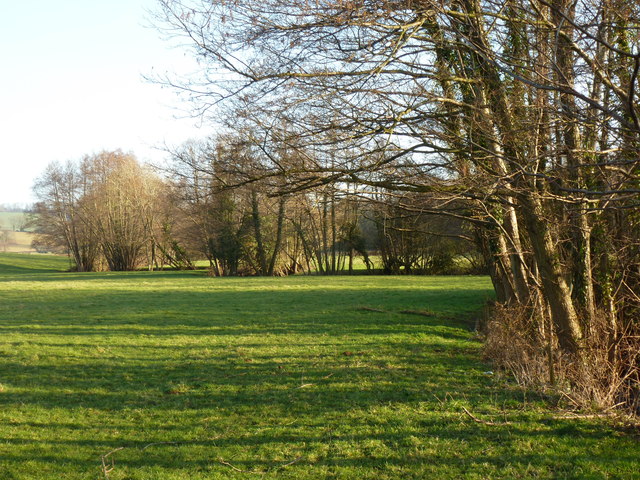
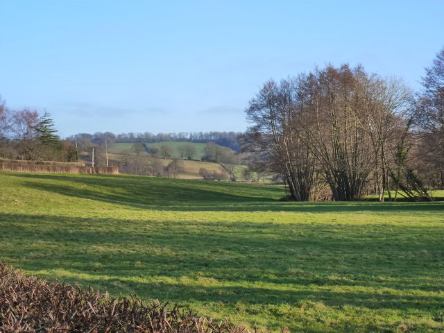
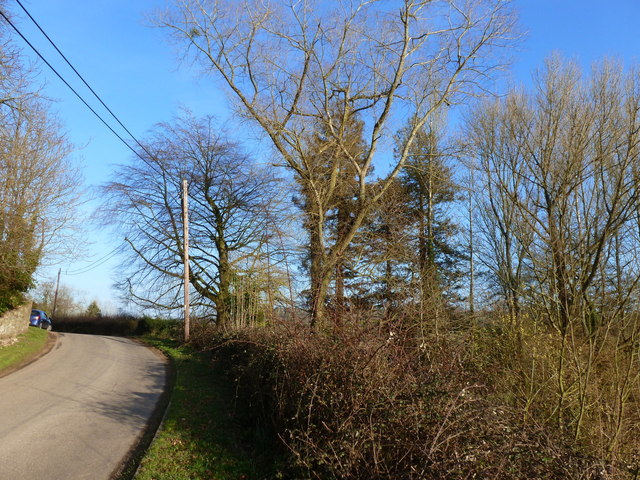
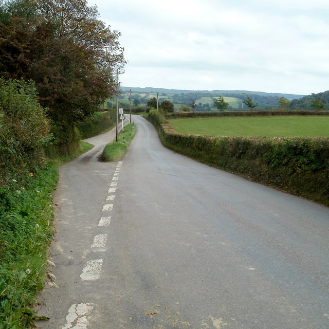
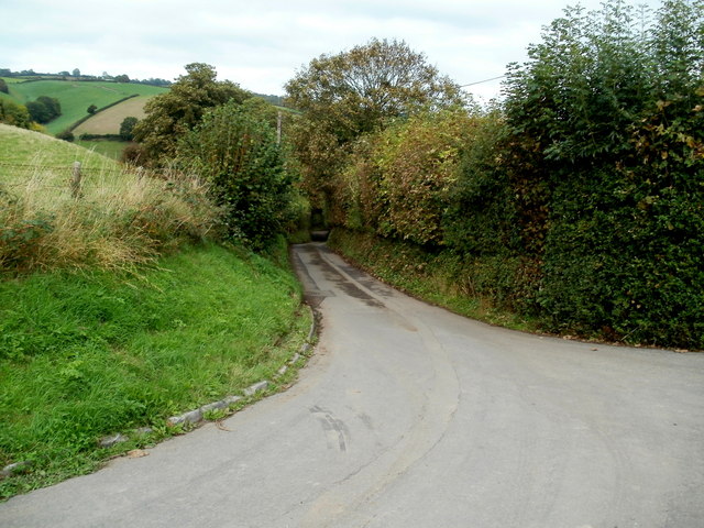
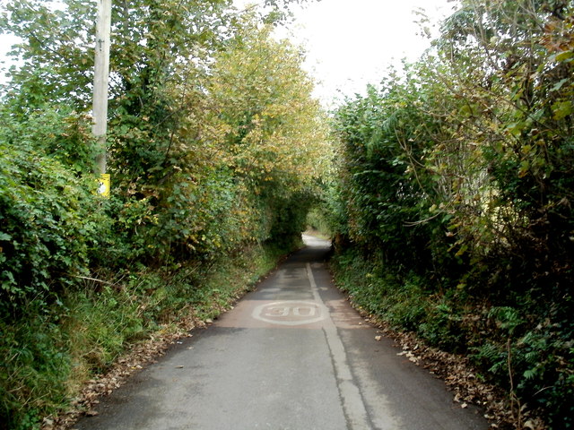
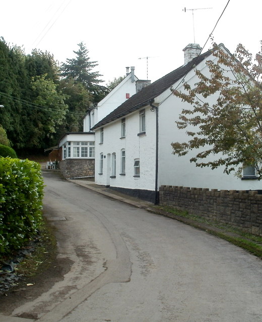
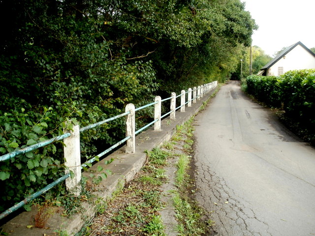
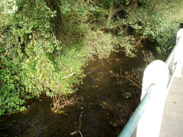
Duke's Brake is a picturesque woodland located in Monmouthshire, Wales. This ancient forest is known for its dense canopy of oak and beech trees, creating a peaceful and tranquil environment for visitors to explore. The forest is home to a variety of wildlife, including deer, squirrels, and a wide range of bird species.

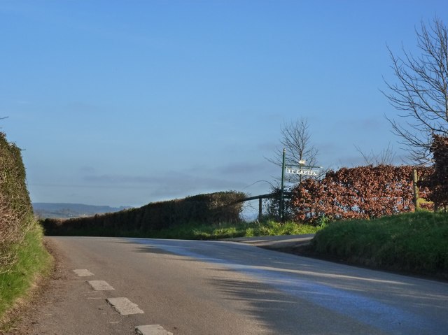
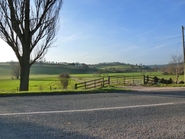
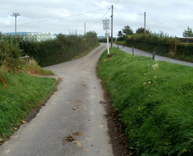
Duke's Brake is a popular destination for hikers and nature enthusiasts, with a network of well-maintained trails that wind through the forest, offering stunning views of the surrounding countryside. The forest is also home to a number of historic landmarks, including the ruins of an old ironworks and a medieval castle, adding to its charm and character.

Visitors to Duke's Brake can enjoy a range of activities, from hiking and birdwatching to picnicking and photography. The forest is particularly beautiful in the autumn months when the leaves change color, creating a vibrant display of reds, yellows, and oranges. Whether you are looking for a peaceful retreat into nature or an opportunity to explore the history of the area, Duke's Brake offers something for everyone.

If you have any feedback on the listing, please let us know in the comments section below.

Duke's Brake Images

Images are sourced within 2km of 51.652289/-2.9380943 or Grid Reference ST3595. Thanks to Geograph Open Source API. All images are credited.

Converted Baptist chapel near Llangibby This old Victorian chapel has been converted into a home.
Converted Baptist chapel near Llangibby
This old Victorian chapel has been converted into a home.
The road to Ty-Capten, Llandegveth
Field with - allegedly - a footpath But tractor tracks here are more prominent than those of walking boots!
Field with - allegedly - a footpath
But tractor tracks here are more prominent than those of walking boots!
The winding path of the Sor Brook traced by trees, near Llandegveth
The valley of the Sor Brook, from Tre-Herbert Road, near Llandegveth
The road near Llwyncelyn
Track entrance opposite Llansoar Farm
Brown field near Llandegveth Viewed from a field gate alongside Tre-herbert Road.
Brown field near Llandegveth
Viewed from a field gate alongside Tre-herbert Road.
Junction for Llandegveth ahead Viewed along Tre-herbert Road. The left turn for Llandegveth is opposite 
the middle of the 75 metre long narrow grass strip.
Junction for Llandegveth ahead
Viewed along Tre-herbert Road. The left turn for Llandegveth is opposite the middle of the 75 metre long narrow grass strip.
The Farmers Arms, Llandegveth The village pub dates from c1750.
The Farmers Arms, Llandegveth
The village pub dates from c1750.
Turn left ahead for Llandegveth A 75 metre long narrow grass strip separates Tre-herbert Road on the right from the approach lane to the left turn for Llandegveth. A board on a post on the strip shows that the left turn is the way
to The Farmers Arms <a title="https://www.geograph.org.uk/photo/3380138" href="https://www.geograph.org.uk/photo/3380138">Link</a>
Turn left ahead for Llandegveth
A 75 metre long narrow grass strip separates Tre-herbert Road on the right from the approach lane to the left turn for Llandegveth. A board on a post on the strip shows that the left turn is the way to The Farmers Arms Link
Farm access track, Llandegveth Viewed from the edge of Tre-herbert Road.
Farm access track, Llandegveth
Viewed from the edge of Tre-herbert Road.
Lane to Llandegveth The lane heads away from Tre-herbert Road.
Lane to Llandegveth
The lane heads away from Tre-herbert Road.
30mph speed limit on the lane to Llandegveth As well as the 30 on the lane surface, there is a speed limit sign on the left, hidden by vegetation.
30mph speed limit on the lane to Llandegveth
As well as the 30 on the lane surface, there is a speed limit sign on the left, hidden by vegetation.
Beech Cottage and The Farmers Arms, Llandegveth A view from a bend in the main road through Llandegveth, 
looking past Beech Cottage towards the edge of the village pub. <a title="https://www.geograph.org.uk/photo/3380138" href="https://www.geograph.org.uk/photo/3380138">Link</a>
Beech Cottage and The Farmers Arms, Llandegveth
A view from a bend in the main road through Llandegveth, looking past Beech Cottage towards the edge of the village pub. Link
Road alongside Sor Brook, Llandegveth A fence is between the main road through the village and Sor Brook, a tributary of the River Usk.
Road alongside Sor Brook, Llandegveth
A fence is between the main road through the village and Sor Brook, a tributary of the River Usk.
Sor Brook, Llandegveth The brook is alongside this <a title="https://www.geograph.org.uk/photo/3380656" href="https://www.geograph.org.uk/photo/3380656">Link</a> part of the main road through the village.
Sor Brook, Llandegveth
The brook is alongside this Link part of the main road through the village.
Shop Cottage, Llandegveth The main road through the village descends past Shop Cottage.
Shop Cottage, Llandegveth
The main road through the village descends past Shop Cottage.
Show me another place!

Duke's Brake is located at Grid Ref: ST3595 (Lat: 51.652289, Lng: -2.9380943)

Unitary Authority: Monmouthshire

Police Authority: Gwent

What 3 Words

///basket.simulates.spin. Near Llangybi, Monmouthshire

Nearby Locations

Duke's Brake

Related Wikis

Berllan-deg, Llanhennock

Berllan-deg, Llanhennock, Monmouthshire is a country house dating from the mid-17th century. A rare survival of a remarkably unaltered hall house, Berllan...

Llandegveth

Llandegveth (Welsh: Llandegfedd) is a village in Monmouthshire, south east Wales. == Location == Llandegveth is located between Cwmbran, in Torfaen, and...

Ton Farmhouse, Llangybi

Ton Farmhouse, Llangybi, Monmouthshire is a farmhouse dating from the early 17th century. John Newman, in his Monmouthshire Pevsner, describes it as a...

Tregrug Castle

Tregrug Castle (Welsh: Castell Tregrug; Welsh pronunciation: [ˈkastɛɬ trɛˈɡriːɡ]) or Llangibby Castle is a ruin in Monmouthshire, Wales, located about...
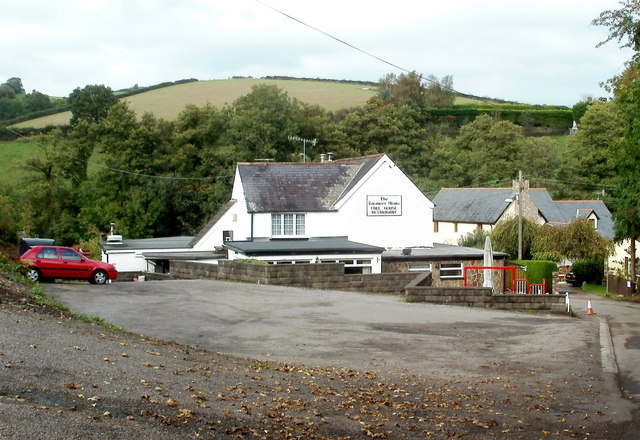
Nearby Amenities

Located within 500m of 51.652289,-2.9380943
Created By: GPSBabel-1.3.6
Lat/Long: 51.649659/-2.93599
Created By: GPSBabel-1.3.6
Lat/Long: 51.649751/-2.936527
Created By: GPSBabel-1.3.6
Lat/Long: 51.649749/-2.937113
Created By: GPSBabel-1.3.6
Lat/Long: 51.649088/-2.939431
Created By: GPSBabel-1.3.6
Lat/Long: 51.64916/-2.939218
Direction: 145
Generator Method: photovoltaic
Generator Output Electricity: yes
Generator Solar Modules: 14
Generator Source: solar
Generator Type: solar_photovoltaic_panel
Location: roof
Power: generator
Lat/Long: 51.6486909/-2.9419863
The data included in this document is from www.openstreetmap.org. The data is made available under ODbL.

Have you been to Duke's Brake?

Leave your review of Duke's Brake below (or comments, questions and feedback).