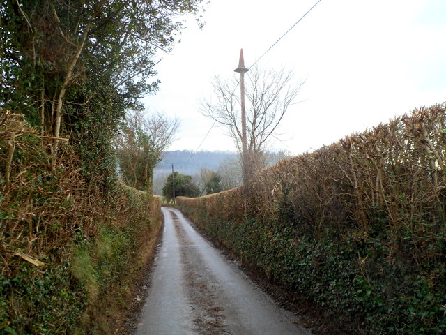
Bittia Wood

Wood, Forest in Monmouthshire

Wales

Bittia Wood

Welcome to Woodlake Park Golf Club, Monmouthshire The Welcome board is alongside a grid across 
the entrance from the road from Glascoed to Coed-y-Paen.
Welcome to Woodlake Park Golf Club, Monmouthshire Credit: Jaggery

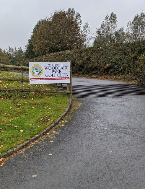
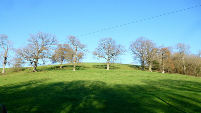
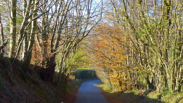
Bittia Wood is a picturesque forest located in Monmouthshire, Wales. Covering an area of approximately 500 acres, this woodland is known for its diverse flora and fauna, making it a popular destination for nature enthusiasts and hikers.

The forest is primarily composed of deciduous trees, such as oak, beech, and ash, which create a stunning display of colors during the autumn season. The dense vegetation provides a habitat for a wide variety of wildlife, including deer, foxes, badgers, and numerous bird species.

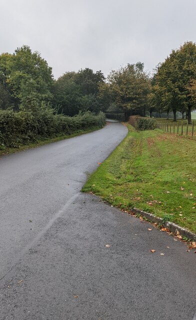
Bittia Wood is crisscrossed by a network of well-maintained trails, allowing visitors to explore the area and admire its natural beauty. The main trail, known as the Bittia Loop, takes hikers through the heart of the forest, offering breathtaking views of the surrounding countryside.

In addition to its recreational value, Bittia Wood also plays a significant role in the conservation efforts of Monmouthshire. The forest is managed sustainably, with measures in place to protect the existing ecosystem and promote biodiversity. Local authorities work closely with conservation organizations to monitor the health of the forest and ensure its long-term preservation.

Visitors to Bittia Wood can enjoy a peaceful and tranquil environment, away from the hustle and bustle of urban life. With its stunning scenery, abundant wildlife, and well-maintained trails, this forest truly offers a captivating experience for nature lovers of all ages.

If you have any feedback on the listing, please let us know in the comments section below.
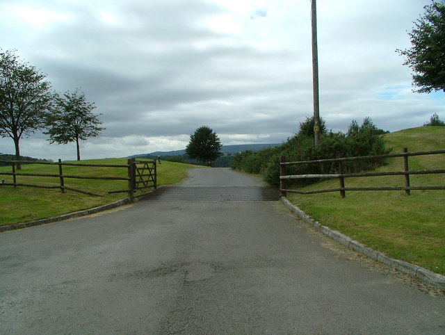
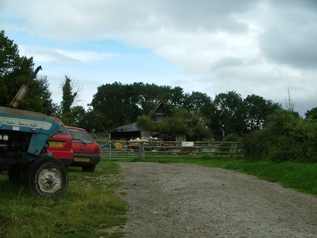
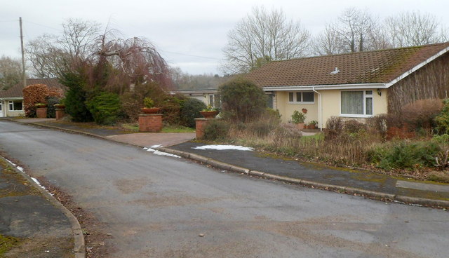
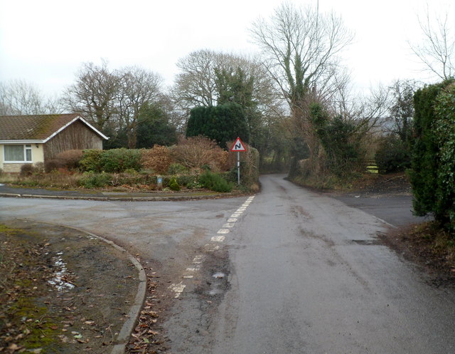
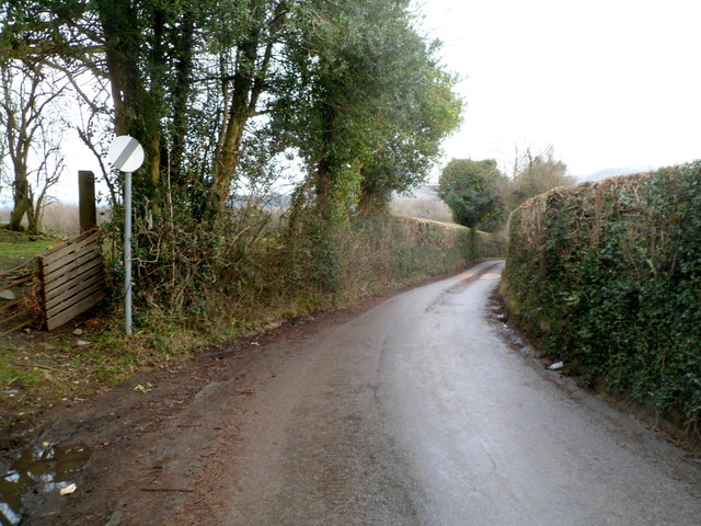
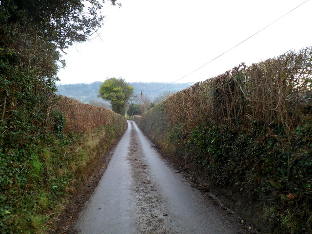
Bittia Wood Images

Images are sourced within 2km of 51.684843/-2.9351943 or Grid Reference ST3598. Thanks to Geograph Open Source API. All images are credited.

Welcome to Woodlake Park Golf Club, Monmouthshire The Welcome board is alongside a grid across 
the entrance from the road from Glascoed to Coed-y-Paen.
Welcome to Woodlake Park Golf Club, Monmouthshire
The Welcome board is alongside a grid across the entrance from the road from Glascoed to Coed-y-Paen.
Woodlake Park Golf Course name sign, Monmouthshire Located near the golf club entrance road <a title="https://www.geograph.org.uk/photo/6996198" href="https://www.geograph.org.uk/photo/6996198">Link</a>
Woodlake Park Golf Course name sign, Monmouthshire
Located near the golf club entrance road Link
Road from Glascoed towards Coed-y-Paen Looking south along a road in rural Monmouthshire.
Road from Glascoed towards Coed-y-Paen
Looking south along a road in rural Monmouthshire.
Cae-maen Wood from the air Cefn Lla farm is in the foreground. Viewed from a Bristol bound flight from Prague.
Cae-maen Wood from the air
Cefn Lla farm is in the foreground. Viewed from a Bristol bound flight from Prague.
House at the junction of the lane to Cefn Ila Farm
Footpath, near Cefn Ila Farm I didn't have a chance to find out the purpose of the corrugated metal - I hope it was not to deter ramblers...
Footpath, near Cefn Ila Farm
I didn't have a chance to find out the purpose of the corrugated metal - I hope it was not to deter ramblers...
Woodlake Park golf course (entrance) This is the entrance to Woodlake Park golf course
Woodlake Park golf course (entrance)
This is the entrance to Woodlake Park golf course
Cilfeigan Farm This is Cilfeigan Farm, hard to find.
Cilfeigan Farm
This is Cilfeigan Farm, hard to find.
Cefn Ila Farm One of the farm buildings across the sheep pasture south of Coed-duon.
Cefn Ila Farm
One of the farm buildings across the sheep pasture south of Coed-duon.
Line of oaks On a contour of the hillside above the track to Cefn Ila Farm.
Line of oaks
On a contour of the hillside above the track to Cefn Ila Farm.
Track to Cefn Ila A private drive.
Track to Cefn Ila
A private drive.
Coed Cefn Ila Newly-planted woodland with public access.
Coed Cefn Ila
Newly-planted woodland with public access.
View from the myriad line Looking north-west along the lane to Glascoed on the southern edge of the SO myriad.
View from the myriad line
Looking north-west along the lane to Glascoed on the southern edge of the SO myriad.
Coed-y-paen bungalows The bungalows are located in an unnamed cul-de-sac on the north side of the main road through the village. All the bungalows have names, so in a small village, there is no need for a street name.
Coed-y-paen bungalows
The bungalows are located in an unnamed cul-de-sac on the north side of the main road through the village. All the bungalows have names, so in a small village, there is no need for a street name.
Bends ahead on the road east from Coed-y-paen Near the eastern edge of the village, the road to Llangybi
passes an unnamed cul-de-sac of bungalows. <a title="https://www.geograph.org.uk/photo/3128921" href="https://www.geograph.org.uk/photo/3128921">Link</a>
Bends ahead on the road east from Coed-y-paen
Near the eastern edge of the village, the road to Llangybi passes an unnamed cul-de-sac of bungalows. Link
End of the 30 mph speed limit in Coed-y-paen Although this location is some distance from the eastern boundary of Coed-y-paen, the main residential part of the village is behind the camera, so the 30mph speed limit increases to the National Speed Limit ahead, on the road to Llangybi.
End of the 30 mph speed limit in Coed-y-paen
Although this location is some distance from the eastern boundary of Coed-y-paen, the main residential part of the village is behind the camera, so the 30mph speed limit increases to the National Speed Limit ahead, on the road to Llangybi.
The car is king, Coed-y-paen A few metres behind the camera, the 30mph speed limit through the residential part of the village increased <a title="https://www.geograph.org.uk/photo/3129029" href="https://www.geograph.org.uk/photo/3129029">Link</a> to the National Speed Limit ahead. This means that cars can travel at up to 60mph along this narrow road lined with vertical hedges and with no provision for walkers.
The car is king, Coed-y-paen
A few metres behind the camera, the 30mph speed limit through the residential part of the village increased Link to the National Speed Limit ahead. This means that cars can travel at up to 60mph along this narrow road lined with vertical hedges and with no provision for walkers.
Traffic cone on a telephone pole, Coed-y-paen How did the traffic cone get to be on top of the pole? It would have taken great strength, accuracy and tenacity to throw it high enough so that it landed here. A ladder or a mobile high tower would have been needed it seems, but why bother?
Traffic cone on a telephone pole, Coed-y-paen
How did the traffic cone get to be on top of the pole? It would have taken great strength, accuracy and tenacity to throw it high enough so that it landed here. A ladder or a mobile high tower would have been needed it seems, but why bother?
Show me another place!

Bittia Wood is located at Grid Ref: ST3598 (Lat: 51.684843, Lng: -2.9351943)

Unitary Authority: Monmouthshire

Police Authority: Gwent

What 3 Words

///innocence.when.storage. Near Llanbadoc, Monmouthshire

Related Wikis

HM Prison Prescoed

HM Prison Prescoed (Welsh: Carchar Prescoed EF) is a Category D men's open prison, located in Coed-y-paen, three miles from Usk in Monmouthshire, Wales...

Usk Inlier

The Usk Inlier is a domed outcrop of rock strata of Silurian age in Monmouthshire in south-eastern Wales. It is located in the countryside between the...

Cefn Ila

Cefn Ila (Welsh: Coed Cefn Ila) is an 83 acres (34 ha) woodland located in Llanbadoc, a mile away from Usk, Monmouthshire, Wales, owned and run by the...

Tregrug Castle

Tregrug Castle (Welsh: Castell Tregrug; Welsh pronunciation: [ˈkastɛɬ trɛˈɡriːɡ]) or Llangibby Castle is a ruin in Monmouthshire, Wales, located about...

Coed-y-paen

Coed-y-paen is a village in South Wales, situated at the south-eastern end of Llandegfedd Reservoir, 2.5 miles (4 km) north-west of Llangybi. HM Prison...

Llanbadoc

Llanbadoc (Welsh: Llanbadog Fawr) is a village and community in the county of Monmouthshire and the preserved county of Gwent in Wales. The population...

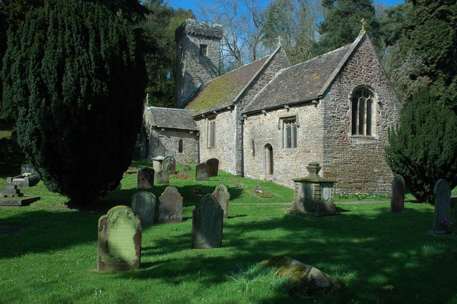
St Madoc's Church, Llanbadoc

The Church of St Madoc, Llanbadoc, Monmouthshire is a parish church with its origins in the 14th century. A Grade II* listed building, the church remains...

Old Town Hall, Usk

The Old Town Hall (Welsh: Hen Neuadd y Dref Brynbuga) is a municipal building in Old Market Street, Usk, Monmouthshire, Wales. The structure, which is...

Nearby Amenities

Located within 500m of 51.684843,-2.9351943
Created By: GPSBabel-1.3.6
Lat/Long: 51.687596/-2.935386
Created By: GPSBabel-1.3.6
Lat/Long: 51.687483/-2.935466
Created By: GPSBabel-1.3.6
Lat/Long: 51.686895/-2.936003
Created By: GPSBabel-1.3.6
Lat/Long: 51.686803/-2.936062
Created By: GPSBabel-1.3.6
Lat/Long: 51.687167/-2.935893
Created By: GPSBabel-1.3.6
Lat/Long: 51.686076/-2.936725
Created By: GPSBabel-1.3.6
Lat/Long: 51.68662/-2.936173
Created By: GPSBabel-1.3.6
Lat/Long: 51.686299/-2.936464
Created By: GPSBabel-1.3.6
Lat/Long: 51.686411/-2.936338
Created By: GPSBabel-1.3.6
Lat/Long: 51.685189/-2.937524
Created By: GPSBabel-1.3.6
Lat/Long: 51.685067/-2.937586
Created By: GPSBabel-1.3.6
Lat/Long: 51.685424/-2.937348
Created By: GPSBabel-1.3.6
Lat/Long: 51.68554/-2.937242
Created By: GPSBabel-1.3.6
Lat/Long: 51.688198/-2.935068
Created By: GPSBabel-1.3.6
Lat/Long: 51.682546/-2.941315
Tyn-Y-Caeau Hill
Ele: 155
Natural: peak
Lat/Long: 51.6832353/-2.9293535
Coed Mawr
Natural: wood
Lat/Long: 51.6848904/-2.941018
Power: pole
Lat/Long: 51.6882498/-2.9313111
Power: pole
Lat/Long: 51.6871656/-2.9329285
Power: pole
Lat/Long: 51.6859617/-2.9346398
Power: pole
Lat/Long: 51.6851635/-2.9358146
Power: pole
Lat/Long: 51.6842023/-2.9372227
Power: pole
Lat/Long: 51.682526/-2.9378571
Power: pole
Lat/Long: 51.6813578/-2.9395925
Crossing
Crossing: uncontrolled
Crossing Island: no
Crossing Markings: zebra
Tactile Paving: no
Lat/Long: 51.6858714/-2.9422134
The data included in this document is from www.openstreetmap.org. The data is made available under ODbL.

Have you been to Bittia Wood?

Leave your review of Bittia Wood below (or comments, questions and feedback).