Cave Rough
Wood, Forest in Radnorshire
Wales
Cave Rough
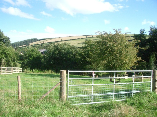
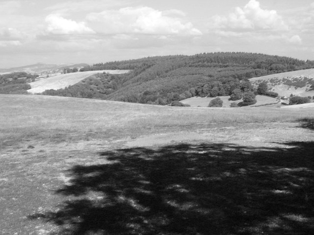
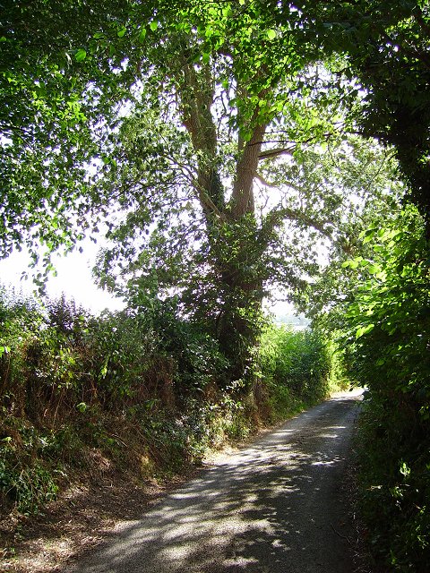
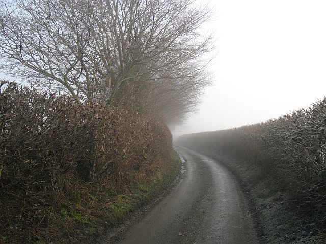
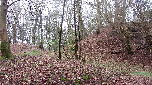
Cave Rough is a stunning woodland located in Radnorshire, Wales. This ancient forest spans over a vast area and is known for its rugged beauty and diverse wildlife. The forest is situated in a remote and secluded area, offering visitors a sense of tranquility and a chance to connect with nature.
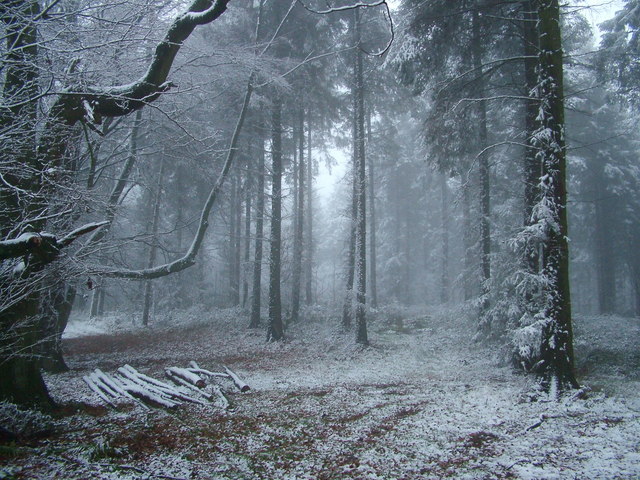
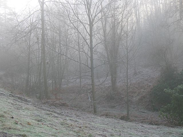
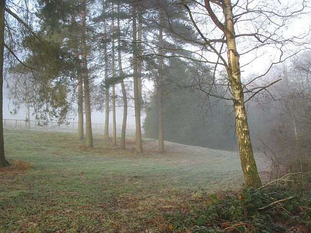
Cave Rough is characterized by its dense and towering trees, which create a thick canopy that filters sunlight and creates a magical ambiance. The forest floor is covered in a rich carpet of moss, ferns, and wildflowers, adding to its natural allure. The woodland is crisscrossed by numerous trails and pathways, making it a popular destination for hikers and nature enthusiasts.
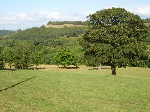
This woodland is home to a variety of wildlife species, including deer, foxes, badgers, and numerous bird species. The forest also boasts a diverse range of plant life, with ancient oaks, beech, and birch trees dominating the landscape. The ecosystem of Cave Rough is carefully protected and managed, ensuring the preservation of its biodiversity.
Visitors to Cave Rough can enjoy a range of activities, from leisurely walks to more adventurous pursuits such as mountain biking and wildlife spotting. The forest is also a popular spot for camping, with designated areas available for overnight stays.
Cave Rough, Radnorshire is a true haven for nature lovers, offering a peaceful escape from the hustle and bustle of everyday life. Its untamed beauty and abundant wildlife make it a must-visit destination for those seeking an authentic woodland experience.
If you have any feedback on the listing, please let us know in the comments section below.
Cave Rough Images
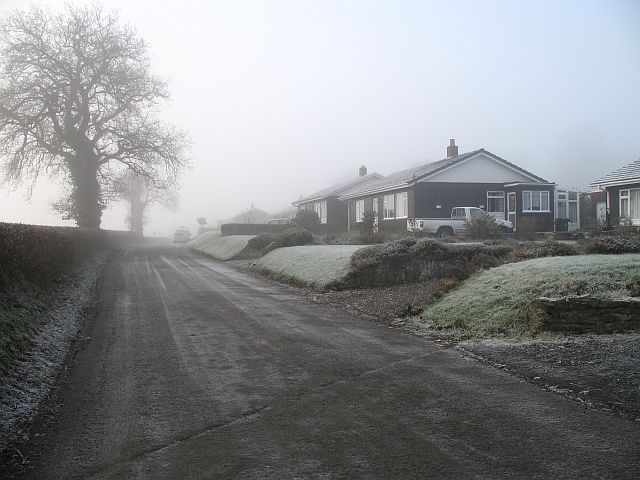
Images are sourced within 2km of 52.342521/-2.9655996 or Grid Reference SO3472. Thanks to Geograph Open Source API. All images are credited.


Cave Rough is located at Grid Ref: SO3472 (Lat: 52.342521, Lng: -2.9655996)
Unitary Authority: Powys
Police Authority: Dyfed Powys
What 3 Words
///empires.obviously.manuals. Near Bucknell, Shropshire
Nearby Locations
Related Wikis

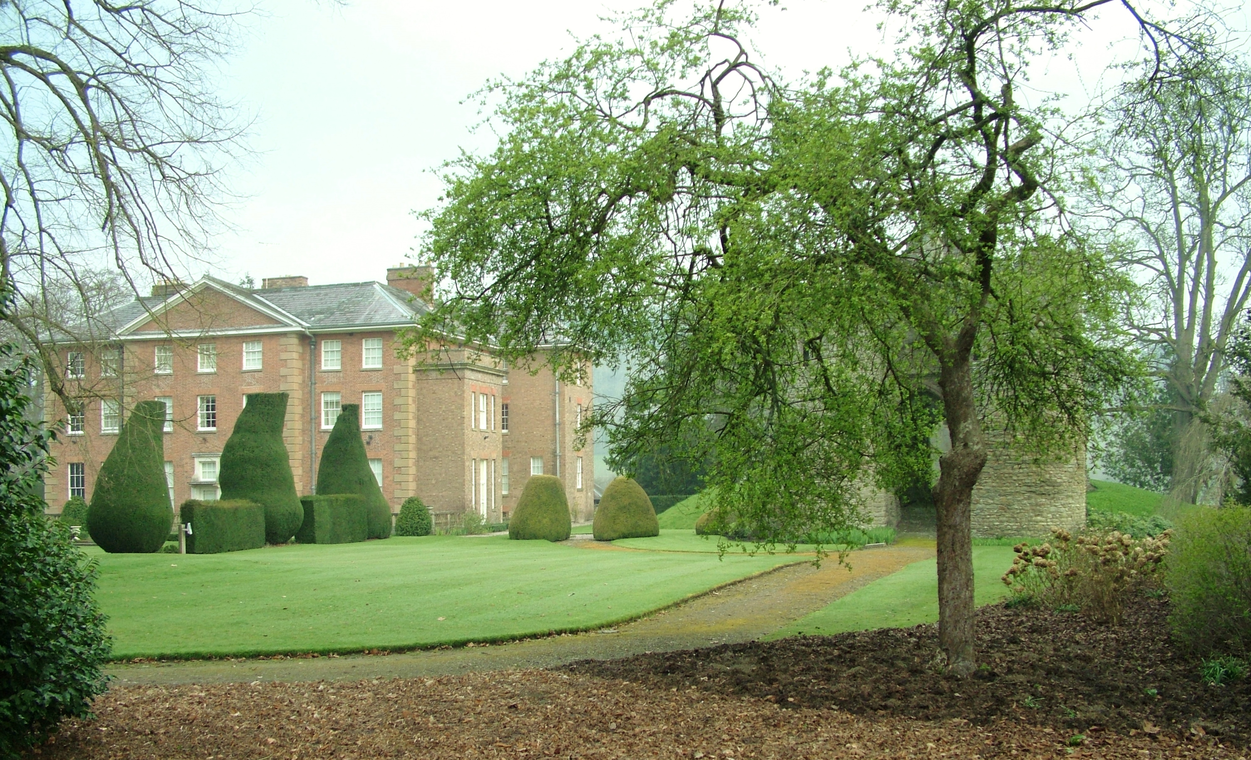
Stanage Park
Stanage Park is a Grade II* listed Welsh country house set in a large park located some 3 miles (4.8 km) east of Knighton, Powys near the settlement of...

Heartsease, Knighton
Heartsease is a small settlement or hamlet in Powys, Wales. It is close to the border with England and lies near the junction of the two counties of Herefordshire...

Bucknell railway station
Bucknell railway station serves the village of Bucknell in Shropshire, England 28+1⁄4 miles (45.5 km) south west of Shrewsbury on the Heart of Wales Line...

Bucknell, Shropshire
Bucknell is a village and civil parish in south Shropshire, England. The village lies on the River Redlake, within 660 yards (600 m) of the River Teme...
Coxall Knoll
Coxall Knoll is a hill lying on the boundary of Shropshire and Herefordshire, England; it is near Bucknell in Shropshire and Buckton and Coxall in Herefordshire...
Brampton Bryan Hall
Brampton Bryan Hall is a 17th-century English country house in the village of Brampton Bryan, Herefordshire. It is still owned by the descendants of Robert...

Brampton Bryan Castle
Brampton Bryan Castle is a ruined medieval castle in the small village of Brampton Bryan in north-western Herefordshire, England, 50m south of the River...
Milebrook
Milebrook is a hamlet in Powys, Wales. == Location == Milebrook is located on a crossroads of the A4113 road almost alongside the Afon Tefeidiad that,...
Nearby Amenities
Located within 500m of 52.342521,-2.9655996Have you been to Cave Rough?
Leave your review of Cave Rough below (or comments, questions and feedback).