Heartsease

Settlement in Radnorshire

Wales

Heartsease

Take the Rainbow Train to Shrewsbury A most amazing horizontal rainbow effect from the level crossing at Bucknell - South Shropshire.
Take the Rainbow Train to Shrewsbury Credit: John Phillips

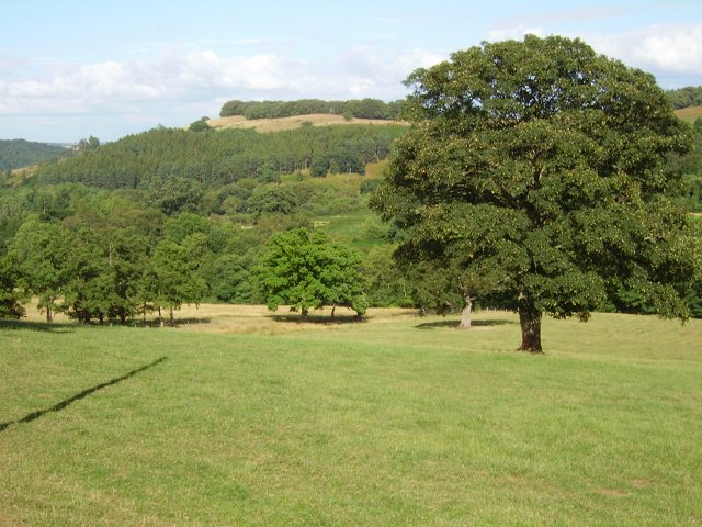
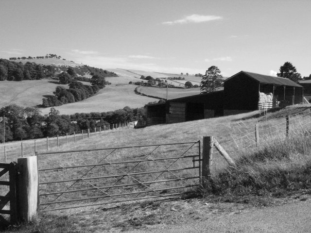
Heartsease is a charming village located in the historic county of Radnorshire, Wales. Situated in the heart of the picturesque Radnor Valley, the village is surrounded by rolling hills and offers breathtaking views of the surrounding countryside. With a population of approximately 500 residents, Heartsease maintains a close-knit community atmosphere.

The village is rich in history, with evidence of settlements dating back to prehistoric times. It was once a bustling market town during the medieval period, and remnants of its past can still be seen in the form of old stone buildings and a Norman church, which serves as a focal point for the community.

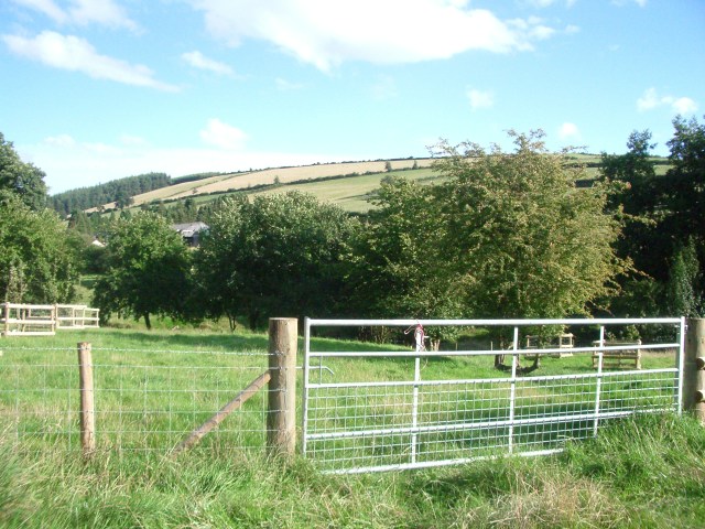
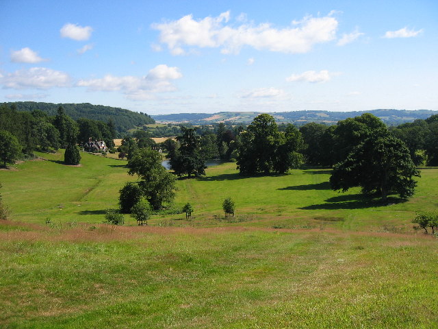
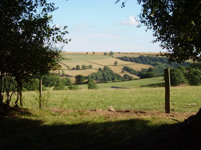
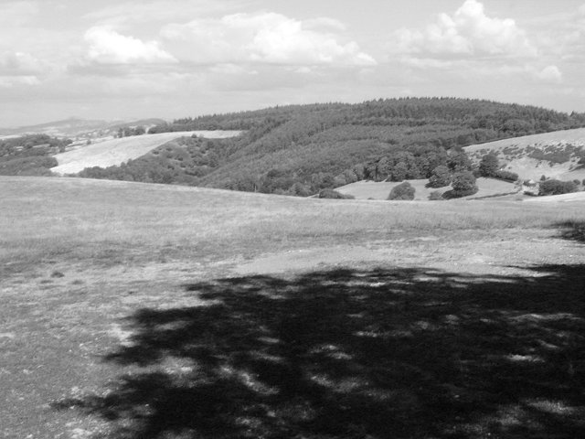
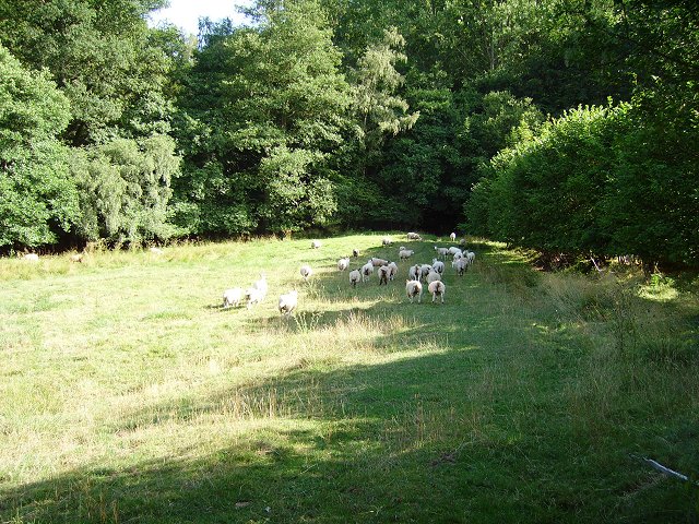
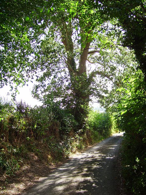
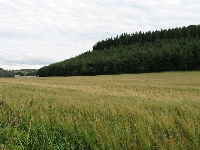
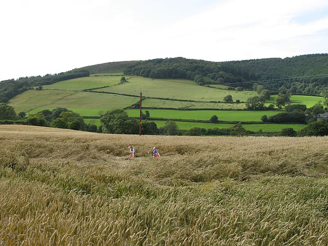
Heartsease is known for its stunning natural beauty and is a popular destination for outdoor enthusiasts. The nearby Radnor Forest offers ample opportunities for hiking, mountain biking, and wildlife spotting. The village is also blessed with several picturesque walking trails, allowing visitors to explore the area's idyllic landscapes at their own pace.

Despite its small size, Heartsease boasts a range of amenities to cater to both residents and visitors. Local shops and cafes provide essential services and a taste of Welsh hospitality. The village also hosts a number of annual events, including a summer fete and a traditional May Day celebration, which further enhance the sense of community.

Heartsease truly exemplifies the charm and tranquility of rural Wales. Its stunning natural surroundings, rich history, and welcoming community make it a delightful place to visit or call home.

If you have any feedback on the listing, please let us know in the comments section below.
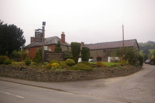
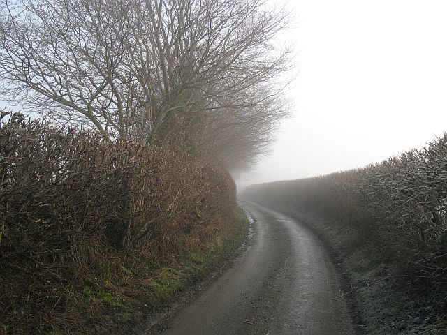
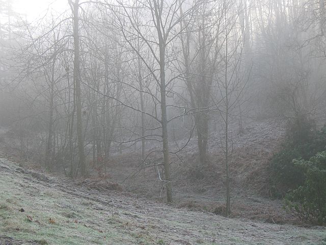
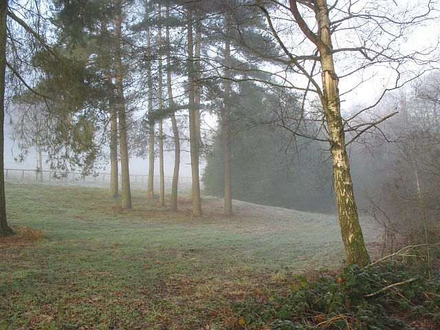
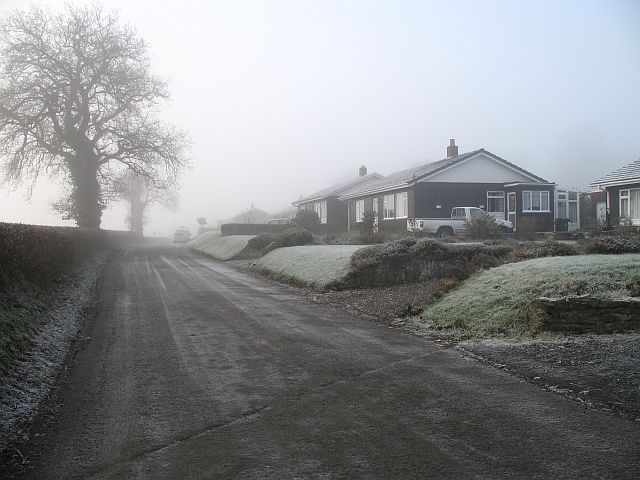
Heartsease Images

Images are sourced within 2km of 52.34643/-2.966962 or Grid Reference SO3472. Thanks to Geograph Open Source API. All images are credited.

Take the Rainbow Train to Shrewsbury A most amazing horizontal rainbow effect from the level crossing at Bucknell - South Shropshire.
Take the Rainbow Train to Shrewsbury
A most amazing horizontal rainbow effect from the level crossing at Bucknell - South Shropshire.
Harley's Mountain looking south-east from the lane, across Boresford Farm
Harley's Mountain
looking south-east from the lane, across Boresford Farm
Brampton Bryan Park Looking NE from the Herefordshire Trail over Brampton Bryan Park
Brampton Bryan Park
Looking NE from the Herefordshire Trail over Brampton Bryan Park
Through the gap View through a hedge into Herefordshire. From the hill road, high above Stanage, Radnorshire.
Through the gap
View through a hedge into Herefordshire. From the hill road, high above Stanage, Radnorshire.
Pedwardine Wood A distant view of the steep side of Pedwardine Wood. When I mapped some of it in the 1980's the steep facing slope was covered in mature Douglas Firs. They were cut down, and the new generation is growing fast. Part of the Brampton Bryan Estate and frequently used for orienteering. 
Taken from near Folly Farm over the border.
Pedwardine Wood
A distant view of the steep side of Pedwardine Wood. When I mapped some of it in the 1980's the steep facing slope was covered in mature Douglas Firs. They were cut down, and the new generation is growing fast. Part of the Brampton Bryan Estate and frequently used for orienteering. Taken from near Folly Farm over the border.
Field on the edge of Stanage Park Grassland, near Black Venn
Field on the edge of Stanage Park
Grassland, near Black Venn
Green Farm Cross border (Wales-England) view towards Brampton Bryan Park.
Green Farm
Cross border (Wales-England) view towards Brampton Bryan Park.
Green Farm Farm on the Radnorshire - Herefordshire border.
Green Farm
Farm on the Radnorshire - Herefordshire border.
Wales - England border. Taken leaning on a gate on the border, looking at a Herefordshire field.
Wales - England border.
Taken leaning on a gate on the border, looking at a Herefordshire field.
Lane by Reeves Farm Northwest corner of Herefordshire. A typical narrow sunken lane, west of Brampton Bryan.
Lane by Reeves Farm
Northwest corner of Herefordshire. A typical narrow sunken lane, west of Brampton Bryan.
Under Park Bank Barley under Park Bank Wood. The brick structure is an access to the Elan Valley Aqueduct.
Under Park Bank
Barley under Park Bank Wood. The brick structure is an access to the Elan Valley Aqueduct.
Teme Valley wheat Wheat and scarecrows, Lower Stanage, Rads.
Teme Valley wheat
Wheat and scarecrows, Lower Stanage, Rads.
Baron of Beef, Bucknell
Shrewsbury to Swansea railway near Bucknell Taken from the minor road on the Shropshire side of the Teme, the railway here was once double track. The railway is an amazing survivor, not only of Beeching, but of repeated attempts to close it during the 1980's and since.
Shrewsbury to Swansea railway near Bucknell
Taken from the minor road on the Shropshire side of the Teme, the railway here was once double track. The railway is an amazing survivor, not only of Beeching, but of repeated attempts to close it during the 1980's and since.
Bucknell to Stowe Road Lane on the Shropshire side of the Teme. Very narrow with few passing places. If on a bike, this is preferable to the fast A road on the Radnorshire side.
Bucknell to Stowe Road
Lane on the Shropshire side of the Teme. Very narrow with few passing places. If on a bike, this is preferable to the fast A road on the Radnorshire side.
Woodland, Stanage Park Stanage Park is mostly woodland, with large clearings. Pegs were out for pheasant shooting.
Woodland, Stanage Park
Stanage Park is mostly woodland, with large clearings. Pegs were out for pheasant shooting.
Stanage Park Woodland beside the road up to Stanage.
Stanage Park
Woodland beside the road up to Stanage.
Ribbon development, Bucknell Bungalows strung out along the road to Stowe. The railway runs behind the houses.
Ribbon development, Bucknell
Bungalows strung out along the road to Stowe. The railway runs behind the houses.
Show me another place!

Heartsease is located at Grid Ref: SO3472 (Lat: 52.34643, Lng: -2.966962)

Unitary Authority: Powys

Police Authority: Dyfed Powys

What 3 Words

///profile.bracing.affirming. Near Bucknell, Shropshire

Nearby Locations

Heartsease Cave Rough

Related Wikis

Stanage Park

Stanage Park is a Grade II* listed Welsh country house set in a large park located some 3 miles (4.8 km) east of Knighton, Powys near the settlement of...

Heartsease, Knighton

Heartsease is a small settlement or hamlet in Powys, Wales. It is close to the border with England and lies near the junction of the two counties of Herefordshire...

Bucknell railway station

Bucknell railway station serves the village of Bucknell in Shropshire, England 28+1⁄4 miles (45.5 km) south west of Shrewsbury on the Heart of Wales Line...

Bucknell, Shropshire

Bucknell is a village and civil parish in south Shropshire, England. The village lies on the River Redlake, within 660 yards (600 m) of the River Teme...

Have you been to Heartsease?

Leave your review of Heartsease below (or comments, questions and feedback).