Cave Wood
Wood, Forest in Radnorshire
Wales
Cave Wood
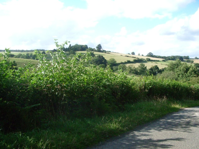
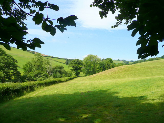
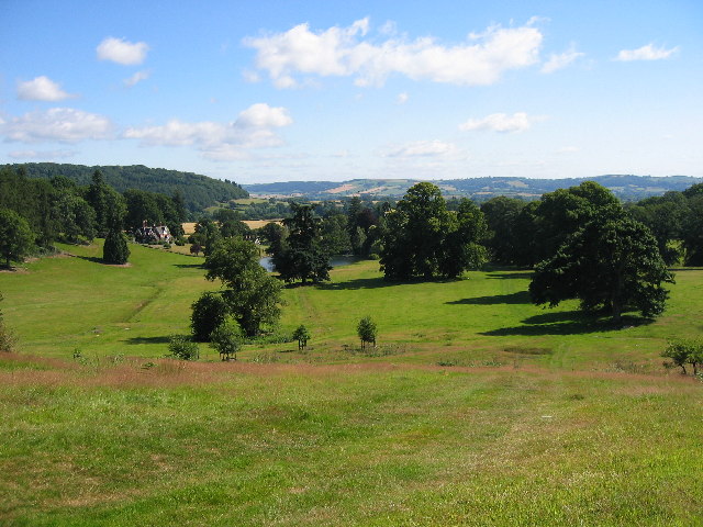
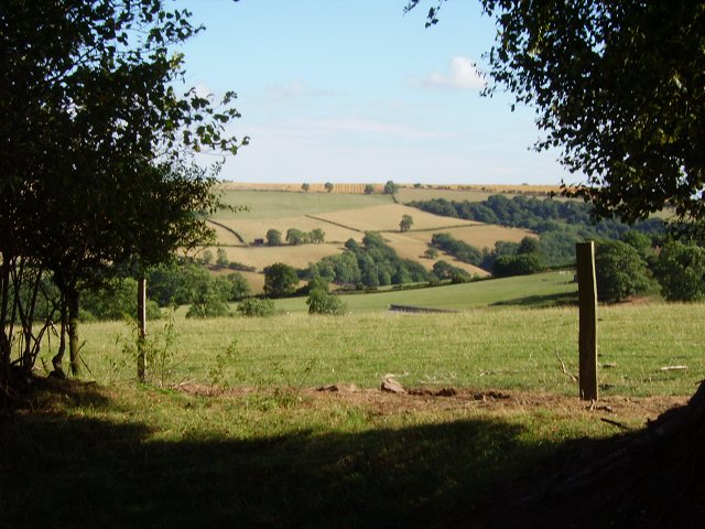
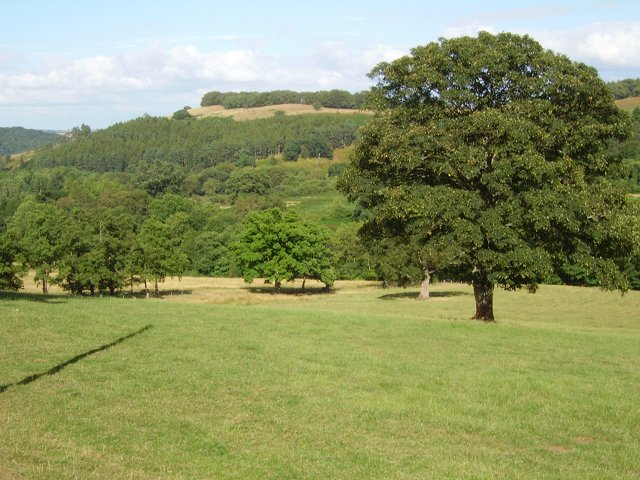
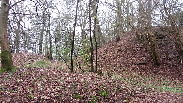
Cave Wood is a captivating forest located in the picturesque county of Radnorshire, Wales. Spanning over a vast area of land, this enchanting woodland is renowned for its natural beauty and rich biodiversity.
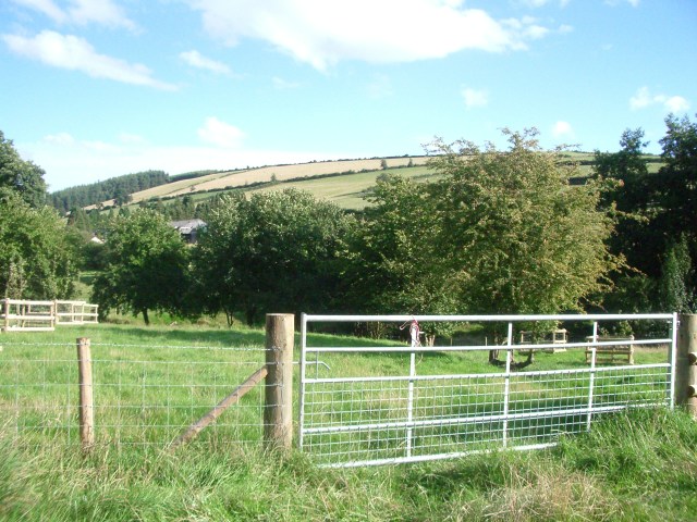
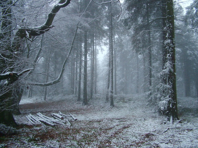
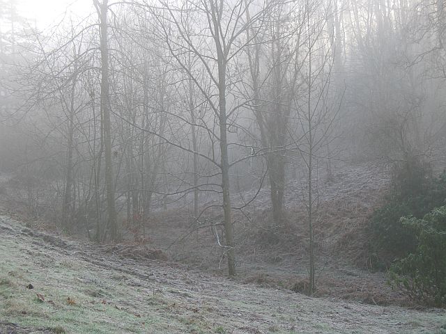
The forest is characterized by its dense canopy of tall, ancient trees that create a mystical atmosphere. The towering oak, beech, and ash trees dominate the landscape, their branches interwoven to form a verdant canopy that filters sunlight, casting dappled shadows on the forest floor. In spring, the woodland bursts into life with a riot of vibrant wildflowers, including bluebells, primroses, and wood anemones, creating a breathtaking spectacle.
Cave Wood is also famed for its numerous caves and limestone formations, which have attracted explorers and nature enthusiasts for centuries. These caves provide a unique habitat for various species of bats, making the forest an important conservation area. The sound of their echolocation can often be heard echoing through the woodland during dusk.
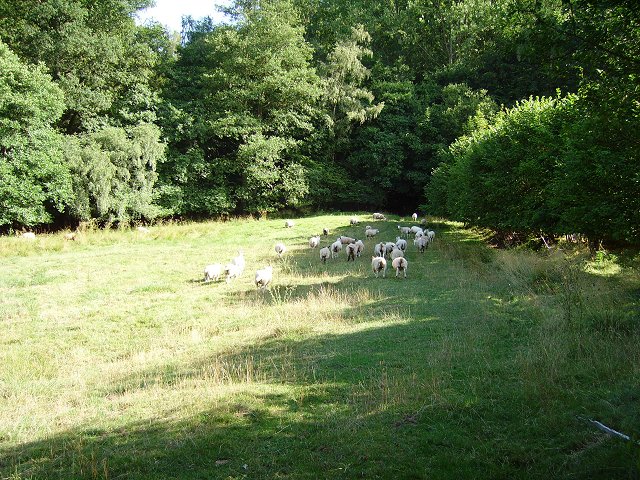
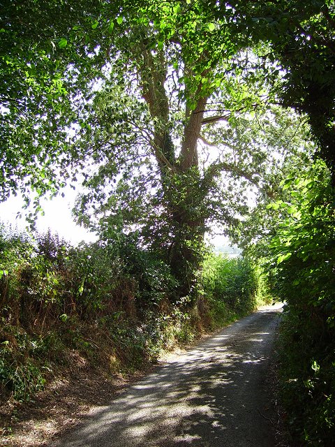
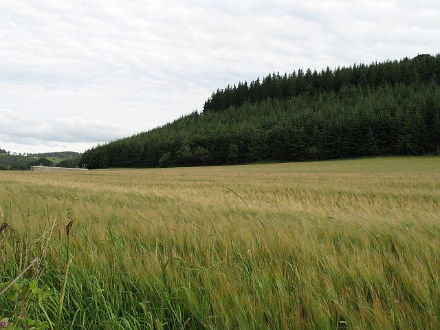
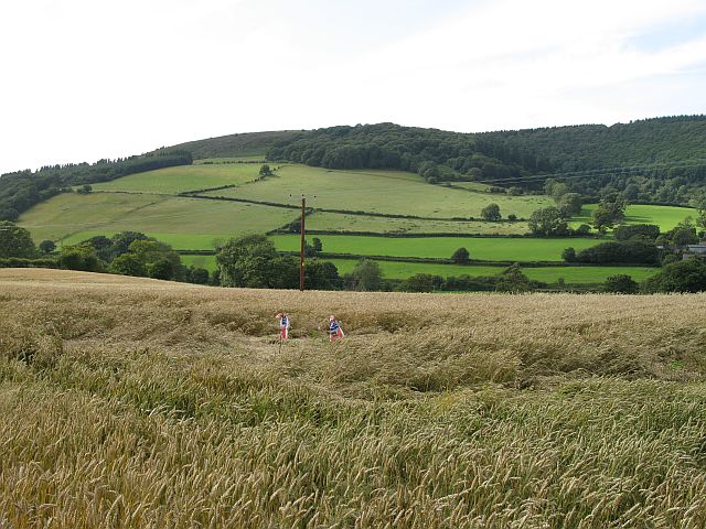
The forest is crisscrossed by a network of walking trails, offering visitors the opportunity to immerse themselves in the tranquility of nature. These trails wind their way through ancient woodlands, babbling streams, and hidden glades, allowing visitors to discover the myriad of flora and fauna that call Cave Wood their home.
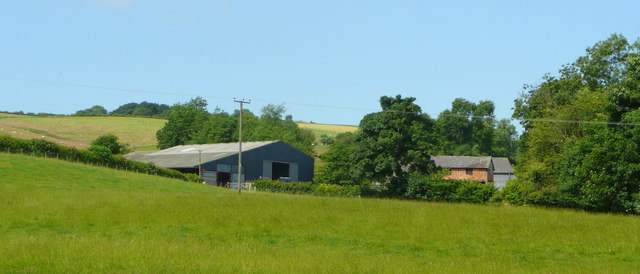
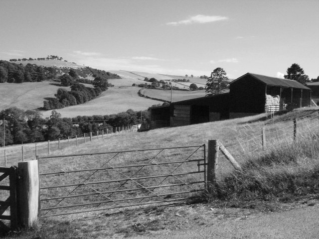
Cave Wood is not only a haven for nature lovers but also a place of historical significance. The forest has witnessed centuries of human activity, with evidence of ancient settlements and archaeological sites scattered throughout its vast expanse.
In conclusion, Cave Wood in Radnorshire is a captivating forest that combines natural beauty, rich biodiversity, and historical significance. Whether it is exploring the ancient caves, admiring the majestic trees, or simply enjoying a peaceful walk through its enchanting trails, Cave Wood offers a truly unforgettable experience for all who visit.
If you have any feedback on the listing, please let us know in the comments section below.
Cave Wood Images
Images are sourced within 2km of 52.337218/-2.971986 or Grid Reference SO3371. Thanks to Geograph Open Source API. All images are credited.


Cave Wood is located at Grid Ref: SO3371 (Lat: 52.337218, Lng: -2.971986)
Unitary Authority: Powys
Police Authority: Dyfed Powys
What 3 Words
///subway.hike.lance. Near Bucknell, Shropshire
Nearby Locations
Related Wikis

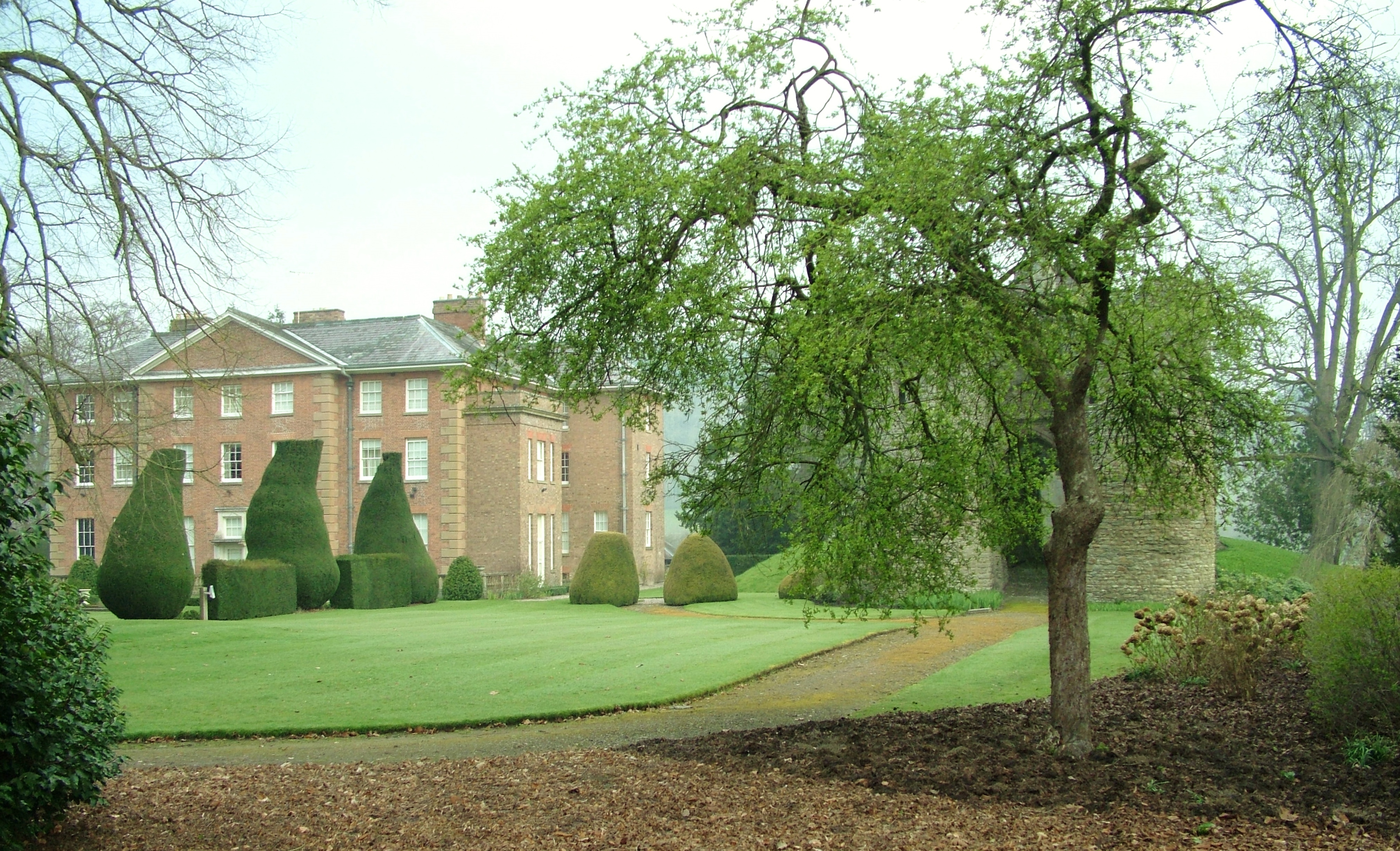
Stanage Park
Stanage Park is a Grade II* listed Welsh country house set in a large park located some 3 miles (4.8 km) east of Knighton, Powys near the settlement of...

Heartsease, Knighton
Heartsease is a small settlement or hamlet in Powys, Wales. It is close to the border with England and lies near the junction of the two counties of Herefordshire...

Bucknell railway station
Bucknell railway station serves the village of Bucknell in Shropshire, England 28+1⁄4 miles (45.5 km) south west of Shrewsbury on the Heart of Wales Line...
Milebrook
Milebrook is a hamlet in Powys, Wales. == Location == Milebrook is located on a crossroads of the A4113 road almost alongside the Afon Tefeidiad that,...

Bucknell, Shropshire
Bucknell is a village and civil parish in south Shropshire, England. The village lies on the River Redlake, within 660 yards (600 m) of the River Teme...
Coxall Knoll
Coxall Knoll is a hill lying on the boundary of Shropshire and Herefordshire, England; it is near Bucknell in Shropshire and Buckton and Coxall in Herefordshire...
Brampton Bryan Hall
Brampton Bryan Hall is a 17th-century English country house in the village of Brampton Bryan, Herefordshire. It is still owned by the descendants of Robert...

Brampton Bryan Castle
Brampton Bryan Castle is a ruined medieval castle in the small village of Brampton Bryan in north-western Herefordshire, England, 50m south of the River...
Have you been to Cave Wood?
Leave your review of Cave Wood below (or comments, questions and feedback).