Waterloo Wood

Wood, Forest in Radnorshire

Wales

Waterloo Wood

The lane near Boresford Farm looking north
The lane near Boresford Farm Credit: Andrew Longton

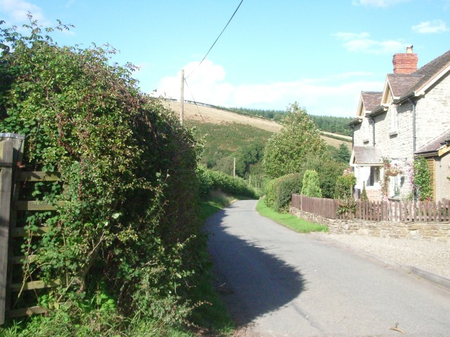
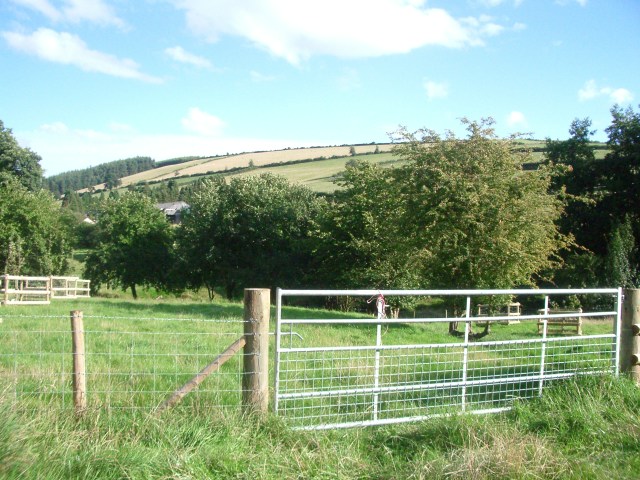
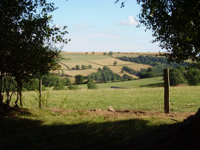
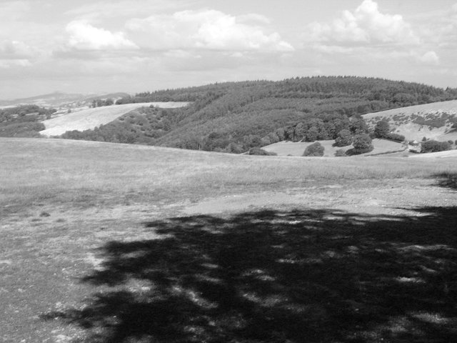
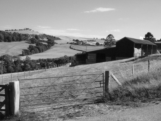
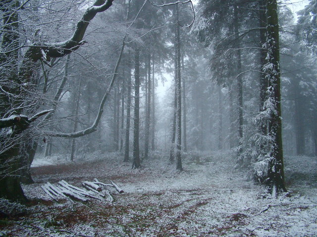
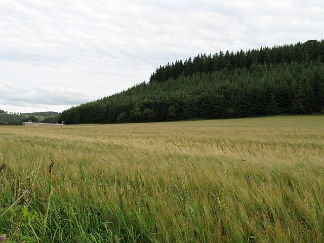
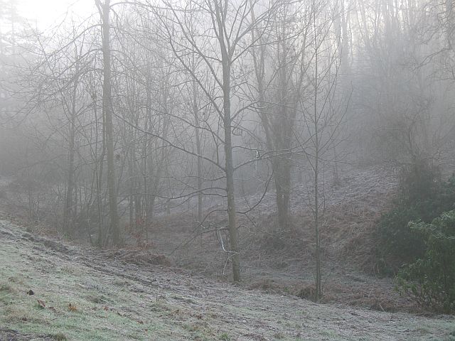
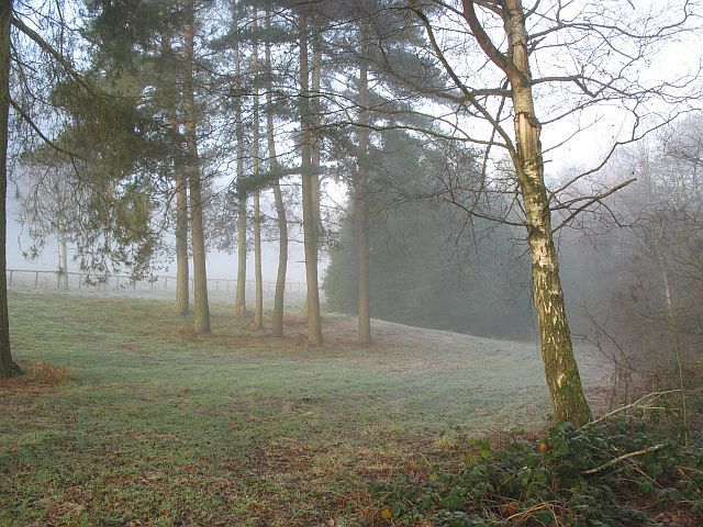
Waterloo Wood is a vast forest located in Radnorshire, a historic county in Wales, United Kingdom. Covering an area of approximately 500 hectares, this woodland is known for its diverse ecosystem and natural beauty. The forest is situated near the village of Waterloo, hence its name.

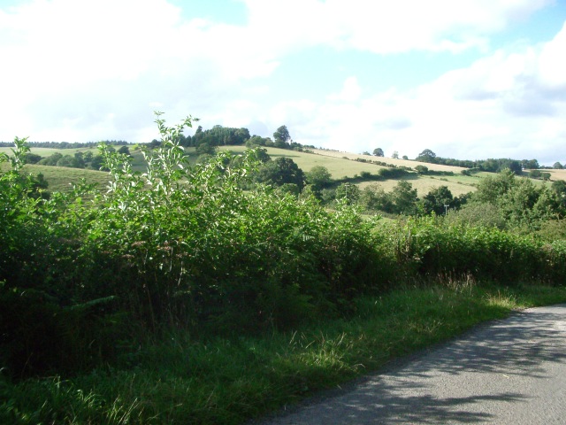
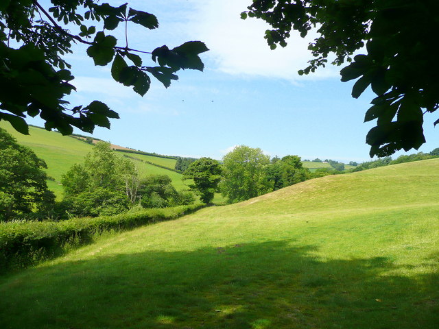
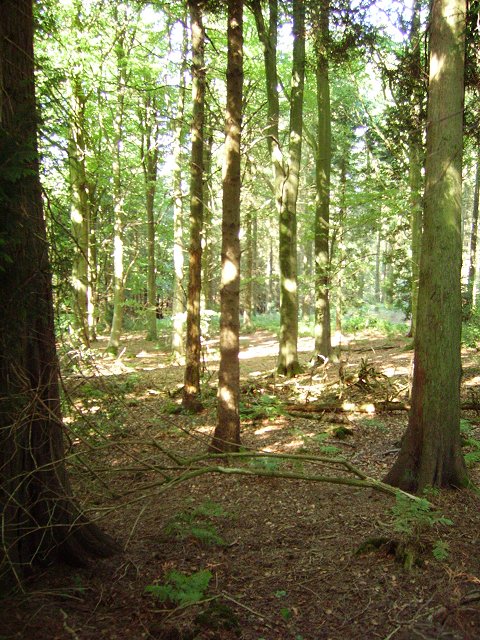
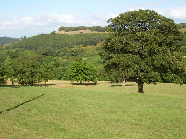
The woodland is primarily composed of broadleaf trees, including oak, ash, beech, and birch. These trees create a dense canopy that provides shade and shelter for a wide variety of flora and fauna. The forest floor is adorned with carpets of bluebells in the spring, creating a breathtaking sight for visitors.

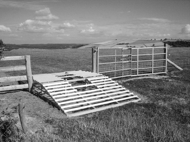
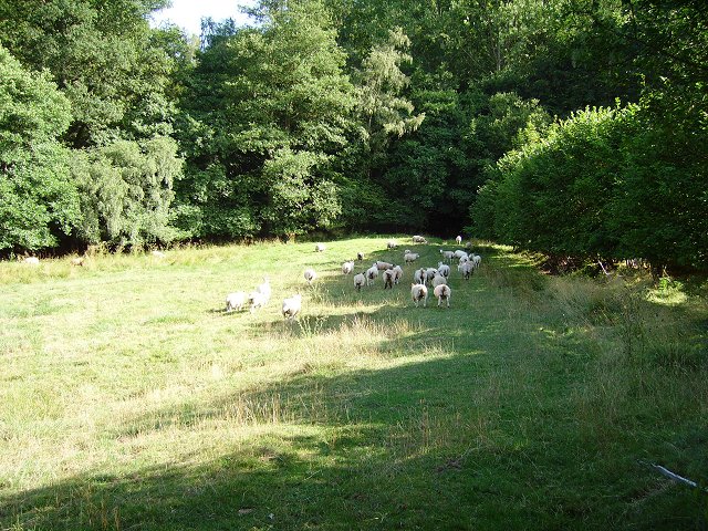
Waterloo Wood is not only a haven for wildlife but also offers recreational opportunities for outdoor enthusiasts. There are several well-maintained walking trails that meander through the forest, allowing visitors to explore its enchanting surroundings. These trails vary in length and difficulty, catering to all levels of fitness and age groups.

The forest is home to an array of wildlife species, including deer, squirrels, badgers, and a rich diversity of bird species. Birdwatchers flock to Waterloo Wood to catch a glimpse of the elusive red kite, which is known to frequent the area.

The management of Waterloo Wood is overseen by the local forestry commission, which ensures sustainable practices and conservation efforts are implemented. The forest is a significant carbon sink, helping to mitigate climate change by absorbing and storing carbon dioxide from the atmosphere.

Overall, Waterloo Wood is a cherished natural treasure in Radnorshire, offering a serene escape into the heart of nature for all who visit.

If you have any feedback on the listing, please let us know in the comments section below.

Waterloo Wood Images

Images are sourced within 2km of 52.334288/-2.976354 or Grid Reference SO3371. Thanks to Geograph Open Source API. All images are credited.

The lane near Boresford Farm looking north
The lane near Boresford Farm
looking north
Hillside looking north towards Hill House Farm from the lane near Willey Lodge
Hillside
looking north towards Hill House Farm from the lane near Willey Lodge
Grazing land east of Boresford Farm The valley is wedged between Harley's Mountain to the left and Oak Hill to the right.
Grazing land east of Boresford Farm
The valley is wedged between Harley's Mountain to the left and Oak Hill to the right.
Hick's Farm View west from Boresford Lane.
Hick's Farm
View west from Boresford Lane.
Harley's Mountain looking south-east from the lane, across Boresford Farm
Harley's Mountain
looking south-east from the lane, across Boresford Farm
Long Wood A biggish forest block on the southern (Radnorshire) side of the Teme Valley.
Long Wood
A biggish forest block on the southern (Radnorshire) side of the Teme Valley.
ATV stile Stile crossed with a cattle grid. Sheep proof but accessible to a quad bike. Folly Farm near Knighton, Rads.
ATV stile
Stile crossed with a cattle grid. Sheep proof but accessible to a quad bike. Folly Farm near Knighton, Rads.
Through the gap View through a hedge into Herefordshire. From the hill road, high above Stanage, Radnorshire.
Through the gap
View through a hedge into Herefordshire. From the hill road, high above Stanage, Radnorshire.
Pedwardine Wood A distant view of the steep side of Pedwardine Wood. When I mapped some of it in the 1980's the steep facing slope was covered in mature Douglas Firs. They were cut down, and the new generation is growing fast. Part of the Brampton Bryan Estate and frequently used for orienteering. 
Taken from near Folly Farm over the border.
Pedwardine Wood
A distant view of the steep side of Pedwardine Wood. When I mapped some of it in the 1980's the steep facing slope was covered in mature Douglas Firs. They were cut down, and the new generation is growing fast. Part of the Brampton Bryan Estate and frequently used for orienteering. Taken from near Folly Farm over the border.
Field on the edge of Stanage Park Grassland, near Black Venn
Field on the edge of Stanage Park
Grassland, near Black Venn
Green Farm Cross border (Wales-England) view towards Brampton Bryan Park.
Green Farm
Cross border (Wales-England) view towards Brampton Bryan Park.
Green Farm Farm on the Radnorshire - Herefordshire border.
Green Farm
Farm on the Radnorshire - Herefordshire border.
Wales - England border. Taken leaning on a gate on the border, looking at a Herefordshire field.
Wales - England border.
Taken leaning on a gate on the border, looking at a Herefordshire field.
Stanage Park woodland Woodland along Stonewall Hill, North of Hill House Farm entrance
Stanage Park woodland
Woodland along Stonewall Hill, North of Hill House Farm entrance
Under Park Bank Barley under Park Bank Wood. The brick structure is an access to the Elan Valley Aqueduct.
Under Park Bank
Barley under Park Bank Wood. The brick structure is an access to the Elan Valley Aqueduct.
Teme Valley wheat Wheat and scarecrows, Lower Stanage, Rads.
Teme Valley wheat
Wheat and scarecrows, Lower Stanage, Rads.
Woodland, Stanage Park Stanage Park is mostly woodland, with large clearings. Pegs were out for pheasant shooting.
Woodland, Stanage Park
Stanage Park is mostly woodland, with large clearings. Pegs were out for pheasant shooting.
Stanage Park Woodland beside the road up to Stanage.
Stanage Park
Woodland beside the road up to Stanage.
Show me another place!

Waterloo Wood is located at Grid Ref: SO3371 (Lat: 52.334288, Lng: -2.976354)

Unitary Authority: Powys

Police Authority: Dyfed Powys

What 3 Words

///cracking.qualify.reflected. Near Bucknell, Shropshire

Related Wikis

Stanage Park

Stanage Park is a Grade II* listed Welsh country house set in a large park located some 3 miles (4.8 km) east of Knighton, Powys near the settlement of...

Heartsease, Knighton

Heartsease is a small settlement or hamlet in Powys, Wales. It is close to the border with England and lies near the junction of the two counties of Herefordshire...

Milebrook

Milebrook is a hamlet in Powys, Wales. == Location == Milebrook is located on a crossroads of the A4113 road almost alongside the Afon Tefeidiad that,...

Bucknell railway station

Bucknell railway station serves the village of Bucknell in Shropshire, England 28+1⁄4 miles (45.5 km) south west of Shrewsbury on the Heart of Wales Line...

Nearby Amenities

Located within 500m of 52.334288,-2.976354
Natural: spring
Source: OS-historic-25k-OSM_Limited
Lat/Long: 52.3327408/-2.9695841
The data included in this document is from www.openstreetmap.org. The data is made available under ODbL.

Have you been to Waterloo Wood?

Leave your review of Waterloo Wood below (or comments, questions and feedback).