Hafod Woodland

Wood, Forest in Denbighshire

Wales

Hafod Woodland

Erddig Hall Erddig Hall was designed in 1683 by Thomas Webb and was handed over to the National Trust in 1973. In 2003 it was voted by readers of the Radio Times and viewers of the Channel 5 television series "Britain's Finest Stately Homes" as "Britain's second finest".

Wikipedia <span class="nowrap"><a title="https://en.wikipedia.org/wiki/Erddig" rel="nofollow ugc noopener" href="https://en.wikipedia.org/wiki/Erddig">Link</a><img style="margin-left:2px;" alt="External link" title="External link - shift click to open in new window" src="https://s1.geograph.org.uk/img/external.png" width="10" height="10"/></span>
Erddig Hall Credit: Jeff Buck

Hafod Woodland is a picturesque and tranquil forest located in Denbighshire, Wales. Covering an area of approximately 200 hectares, the woodland is home to a diverse range of plant and animal species, making it a popular destination for nature enthusiasts and wildlife lovers.

The woodland is characterized by its dense canopy of mature trees, including oak, beech, and birch, creating a lush and green environment that is perfect for exploring on foot. Visitors can enjoy a leisurely stroll along the well-maintained pathways that wind through the forest, taking in the sights and sounds of the natural surroundings.

Hafod Woodland is also known for its rich history, with remnants of ancient settlements and structures scattered throughout the area. The woodland has been designated as a Site of Special Scientific Interest (SSSI) due to its importance for biodiversity and conservation.

Overall, Hafod Woodland offers a peaceful retreat from the hustle and bustle of everyday life, providing a serene setting for relaxation and reflection in the heart of the Welsh countryside.

If you have any feedback on the listing, please let us know in the comments section below.

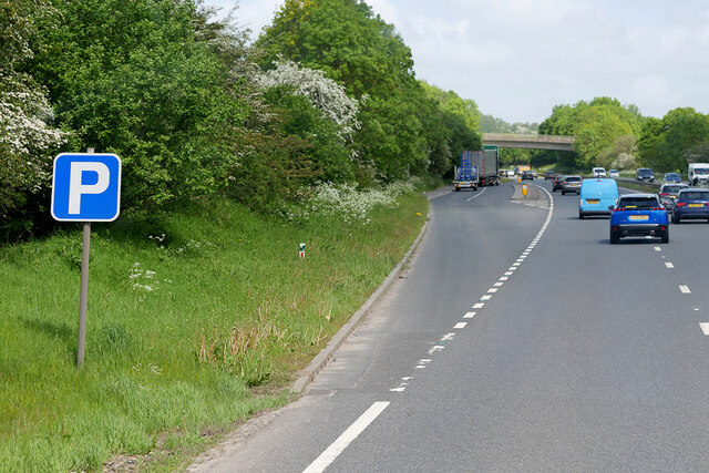
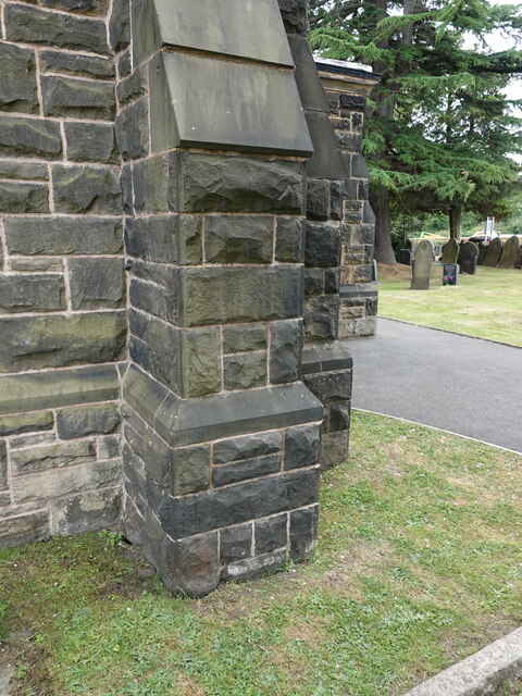
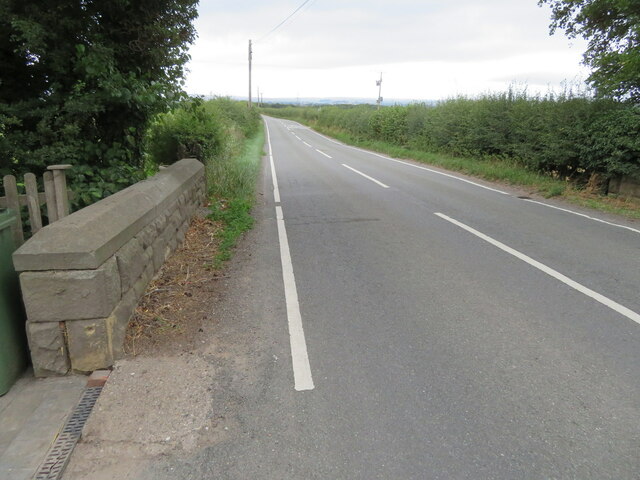
Hafod Woodland Images

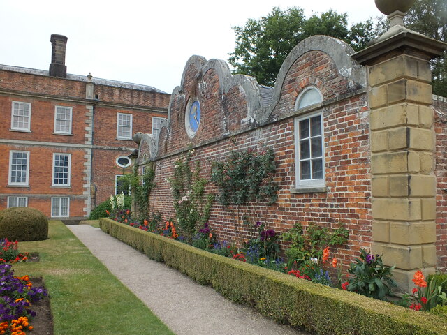
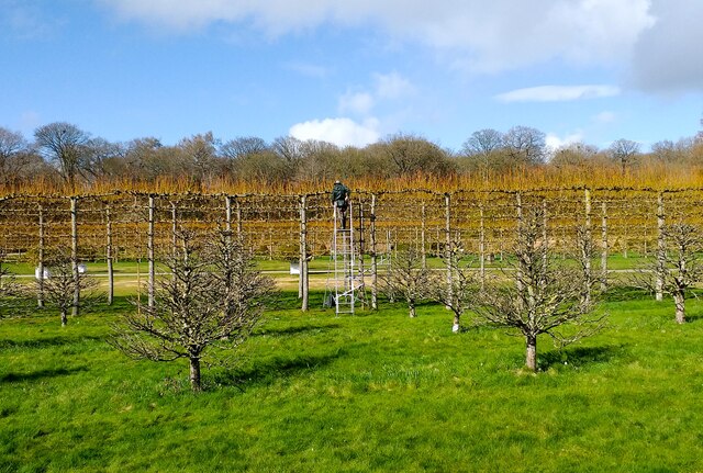
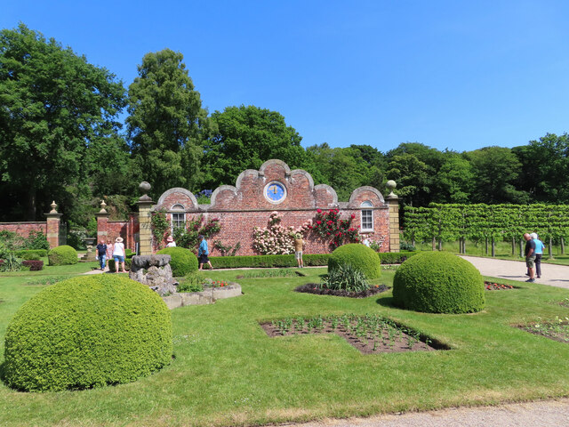
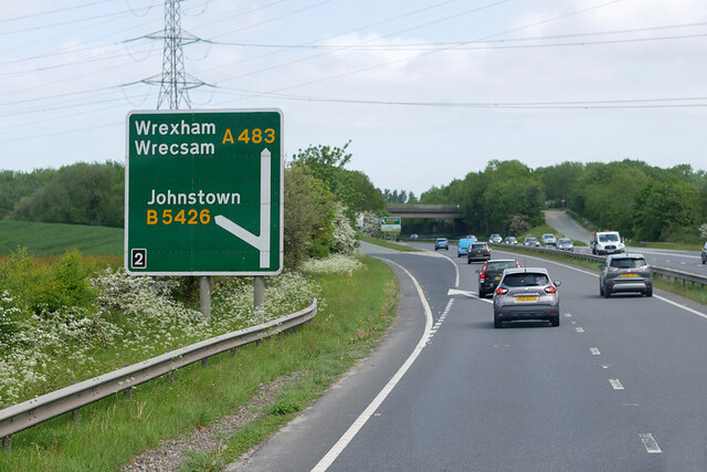
Images are sourced within 2km of 53.014537/-3.0261805 or Grid Reference SJ3146. Thanks to Geograph Open Source API. All images are credited.

Erddig Hall Erddig Hall was designed in 1683 by Thomas Webb and was handed over to the National Trust in 1973. In 2003 it was voted by readers of the Radio Times and viewers of the Channel 5 television series "Britain's Finest Stately Homes" as "Britain's second finest".

Wikipedia <span class="nowrap"><a title="https://en.wikipedia.org/wiki/Erddig" rel="nofollow ugc noopener" href="https://en.wikipedia.org/wiki/Erddig">Link</a><img style="margin-left:2px;" alt="External link" title="External link - shift click to open in new window" src="https://s1.geograph.org.uk/img/external.png" width="10" height="10"/></span>
Erddig Hall
Erddig Hall was designed in 1683 by Thomas Webb and was handed over to the National Trust in 1973. In 2003 it was voted by readers of the Radio Times and viewers of the Channel 5 television series "Britain's Finest Stately Homes" as "Britain's second finest". Wikipedia LinkExternal link
B5097 near Bersham
B5097 near Bersham
Erddig Hall, Wrexham Gable wall and flower beds
Erddig Hall, Wrexham
Gable wall and flower beds
Pleaching the Limes at Erddig Lime trees being pleached in the garden of Erddig Hall in readiness for summer.

Wikipedia Erddig <span class="nowrap"><a title="https://en.wikipedia.org/wiki/Erddig" rel="nofollow ugc noopener" href="https://en.wikipedia.org/wiki/Erddig">Link</a><img style="margin-left:2px;" alt="External link" title="External link - shift click to open in new window" src="https://s1.geograph.org.uk/img/external.png" width="10" height="10"/></span>
Wikipedia Pleaching <span class="nowrap"><a title="https://en.wikipedia.org/wiki/Pleaching" rel="nofollow ugc noopener" href="https://en.wikipedia.org/wiki/Pleaching">Link</a><img style="margin-left:2px;" alt="External link" title="External link - shift click to open in new window" src="https://s1.geograph.org.uk/img/external.png" width="10" height="10"/></span>
Pleaching the Limes at Erddig
Lime trees being pleached in the garden of Erddig Hall in readiness for summer. Wikipedia Erddig LinkExternal link Wikipedia Pleaching LinkExternal link
Erddig Hall Grade I listed country house in the care of the National Trust.

Wikipedia info: <span class="nowrap"><a title="https://en.wikipedia.org/wiki/Erddig" rel="nofollow ugc noopener" href="https://en.wikipedia.org/wiki/Erddig">Link</a><img style="margin-left:2px;" alt="External link" title="External link - shift click to open in new window" src="https://s1.geograph.org.uk/img/external.png" width="10" height="10"/></span>
Erddig Hall
Grade I listed country house in the care of the National Trust. Wikipedia info: LinkExternal link
Erddig, decorative garden wall and clock This is the garden immediately in front of the huge house at Erddig, a National Trust property.
Erddig, decorative garden wall and clock
This is the garden immediately in front of the huge house at Erddig, a National Trust property.
Alliums at Erddig Alliums in a flower bed at the hall end of the formal garden.
Alliums at Erddig
Alliums in a flower bed at the hall end of the formal garden.
Bridge over the A483 near Rhostyllen The A483 is a major north-south trunk road in Wales, running for 149 miles between Chester and Junction 42 of the M4 motorway just east of Swansea.
<span class="nowrap"><a title="http://www.sabre-roads.org.uk/wiki/index.php?title=A483" rel="nofollow ugc noopener" href="http://www.sabre-roads.org.uk/wiki/index.php?title=A483">Link</a><img style="margin-left:2px;" alt="External link" title="External link - shift click to open in new window" src="https://s1.geograph.org.uk/img/external.png" width="10" height="10"/></span>  SABRE
<span class="nowrap"><a title="https://en.wikipedia.org/wiki/A483_road" rel="nofollow ugc noopener" href="https://en.wikipedia.org/wiki/A483_road">Link</a><img style="margin-left:2px;" alt="External link" title="External link - shift click to open in new window" src="https://s1.geograph.org.uk/img/external.png" width="10" height="10"/></span>  Wikipedia
Bridge over the A483 near Rhostyllen
The A483 is a major north-south trunk road in Wales, running for 149 miles between Chester and Junction 42 of the M4 motorway just east of Swansea. LinkExternal link SABRE LinkExternal link Wikipedia
Northbound A483 at Junction 2 The A5 is a major trunk road which runs for about 181 miles from London, in England, to Holyhead, in Wales. For part of its route, it follows a section of the Roman route which later took the Anglo-Saxon name Watling Street.  At Oswestry, the A5 joins the A483 and becomes the bypass to the east of the town. It continues to multiplex with the A483 until it reaches Halton, where it diverges towards Llangollen and Holyhead.
Northbound A483 at Junction 2
The A5 is a major trunk road which runs for about 181 miles from London, in England, to Holyhead, in Wales. For part of its route, it follows a section of the Roman route which later took the Anglo-Saxon name Watling Street. At Oswestry, the A5 joins the A483 and becomes the bypass to the east of the town. It continues to multiplex with the A483 until it reaches Halton, where it diverges towards Llangollen and Holyhead.
Layby on the A483 near to Rhosllannerchrugog The A483 is a major north-south trunk road in Wales, running for 149 miles between Chester and Junction 42 of the M4 motorway just east of Swansea.
<span class="nowrap"><a title="http://www.sabre-roads.org.uk/wiki/index.php?title=A483" rel="nofollow ugc noopener" href="http://www.sabre-roads.org.uk/wiki/index.php?title=A483">Link</a><img style="margin-left:2px;" alt="External link" title="External link - shift click to open in new window" src="https://s1.geograph.org.uk/img/external.png" width="10" height="10"/></span>  SABRE
<span class="nowrap"><a title="https://en.wikipedia.org/wiki/A483_road" rel="nofollow ugc noopener" href="https://en.wikipedia.org/wiki/A483_road">Link</a><img style="margin-left:2px;" alt="External link" title="External link - shift click to open in new window" src="https://s1.geograph.org.uk/img/external.png" width="10" height="10"/></span>  Wikipedia
Layby on the A483 near to Rhosllannerchrugog
The A483 is a major north-south trunk road in Wales, running for 149 miles between Chester and Junction 42 of the M4 motorway just east of Swansea. LinkExternal link SABRE LinkExternal link Wikipedia
Northbound A483 near Rhostyllen The A483 is a major north-south trunk road in Wales, running for 149 miles between Chester and Junction 42 of the M4 motorway just east of Swansea.
<span class="nowrap"><a title="http://www.sabre-roads.org.uk/wiki/index.php?title=A483" rel="nofollow ugc noopener" href="http://www.sabre-roads.org.uk/wiki/index.php?title=A483">Link</a><img style="margin-left:2px;" alt="External link" title="External link - shift click to open in new window" src="https://s1.geograph.org.uk/img/external.png" width="10" height="10"/></span>  SABRE
<span class="nowrap"><a title="https://en.wikipedia.org/wiki/A483_road" rel="nofollow ugc noopener" href="https://en.wikipedia.org/wiki/A483_road">Link</a><img style="margin-left:2px;" alt="External link" title="External link - shift click to open in new window" src="https://s1.geograph.org.uk/img/external.png" width="10" height="10"/></span>  Wikipedia
Northbound A483 near Rhostyllen
The A483 is a major north-south trunk road in Wales, running for 149 miles between Chester and Junction 42 of the M4 motorway just east of Swansea. LinkExternal link SABRE LinkExternal link Wikipedia
Benchmark on Holy Trinity church, Rhostyllen Ordnance Survey benchmark on the north west corner buttress of Holy Trinity church alongside Wrexham Road, Rhostyllen. Levelled at 100.279m above Newlyn Datum, verified 1960. For a wider view see <a href="https://www.geograph.org.uk/photo/7524279">SJ3148 : North west corner of Holy Trinity church, Rhostyllen</a>              
Benchmark database <span class="nowrap"><a title="https://www.bench-marks.org.uk/bm195750" rel="nofollow ugc noopener" href="https://www.bench-marks.org.uk/bm195750">Link</a><img style="margin-left:2px;" alt="External link" title="External link - shift click to open in new window" src="https://s1.geograph.org.uk/img/external.png" width="10" height="10"/></span>
Benchmark on Holy Trinity church, Rhostyllen
Ordnance Survey benchmark on the north west corner buttress of Holy Trinity church alongside Wrexham Road, Rhostyllen. Levelled at 100.279m above Newlyn Datum, verified 1960. For a wider view see SJ3148 : North west corner of Holy Trinity church, Rhostyllen Benchmark database LinkExternal link
North west corner of Holy Trinity church, Rhostyllen The buttress at the north west corner of Holy Trinity church has an Ordnance Survey benchmark <a href="https://www.geograph.org.uk/photo/7524274">SJ3148 : Benchmark on Holy Trinity church, Rhostyllen</a>
North west corner of Holy Trinity church, Rhostyllen
The buttress at the north west corner of Holy Trinity church has an Ordnance Survey benchmark SJ3148 : Benchmark on Holy Trinity church, Rhostyllen
Holy Trinity church, Wrexham Road, Rhostyllen The foundation stone of the Holy Trinity church was laid on the 24th October 1876, and it was consecrated on the 12th September 1877.
Holy Trinity church, Wrexham Road, Rhostyllen
The foundation stone of the Holy Trinity church was laid on the 24th October 1876, and it was consecrated on the 12th September 1877.
Benchmark on Black Brook Bridge Ordnance Survey benchmark on Black Brook Bridge parapet alongside the B5426, east of Rhosllanerchrugog. Levelled at 92.162m above Newlyn Datum, verified 1959. For a wider view see: <a href="https://www.geograph.org.uk/photo/7541558">SJ3245 : The B5426 over Black Brook Bridge</a>  Benchmark database: <span class="nowrap"><a title="https://www.bench-marks.org.uk/bm197126" rel="nofollow ugc noopener" href="https://www.bench-marks.org.uk/bm197126">Link</a><img style="margin-left:2px;" alt="External link" title="External link - shift click to open in new window" src="https://s1.geograph.org.uk/img/external.png" width="10" height="10"/></span>
Benchmark on Black Brook Bridge
Ordnance Survey benchmark on Black Brook Bridge parapet alongside the B5426, east of Rhosllanerchrugog. Levelled at 92.162m above Newlyn Datum, verified 1959. For a wider view see: SJ3245 : The B5426 over Black Brook Bridge Benchmark database: LinkExternal link
The B5426 over Black Brook Bridge Looking west across Black Brook Bridge, east of Rhosllanerchrugog. There is an Ordnance Survey benchmark on the corner of the bridge parapet on the left: <a href="https://www.geograph.org.uk/photo/7541548">SJ3245 : Benchmark on Black Brook Bridge</a>
The B5426 over Black Brook Bridge
Looking west across Black Brook Bridge, east of Rhosllanerchrugog. There is an Ordnance Survey benchmark on the corner of the bridge parapet on the left: SJ3245 : Benchmark on Black Brook Bridge
Benchmark on Middle Sontley Farm barn conversion Ordnance Survey benchmark on Middle Sontley Farm barn conversion. Wat's Dyke Way passes the farm via a minor road.  For a view of the farm see: <a href="https://www.geograph.org.uk/photo/7541625">SJ3246 : Wat's Dyke Way and Middle Sontley Farm</a>  Benchmark database: <span class="nowrap"><a title="https://www.bench-marks.org.uk/bm197140" rel="nofollow ugc noopener" href="https://www.bench-marks.org.uk/bm197140">Link</a><img style="margin-left:2px;" alt="External link" title="External link - shift click to open in new window" src="https://s1.geograph.org.uk/img/external.png" width="10" height="10"/></span>
Benchmark on Middle Sontley Farm barn conversion
Ordnance Survey benchmark on Middle Sontley Farm barn conversion. Wat's Dyke Way passes the farm via a minor road. For a view of the farm see: SJ3246 : Wat's Dyke Way and Middle Sontley Farm Benchmark database: LinkExternal link
Wat's Dyke Way and Middle Sontley Farm Looking north along Wat's Dyke Way towards Middle Sontley Farm. There is an Ordnance Survey benchmark on the left of the nearest building: <a href="https://www.geograph.org.uk/photo/7541615">SJ3246 : Benchmark on Middle Sontley Farm barn conversion</a>
Wat's Dyke Way and Middle Sontley Farm
Looking north along Wat's Dyke Way towards Middle Sontley Farm. There is an Ordnance Survey benchmark on the left of the nearest building: SJ3246 : Benchmark on Middle Sontley Farm barn conversion
Show me another place!

Hafod Woodland is located at Grid Ref: SJ3146 (Lat: 53.014537, Lng: -3.0261805)

Unitary Authority: Wrexham

Police Authority: North Wales

What 3 Words

///odds.fabric.pods. Near Rhosllanerchrugog, Wrexham

Nearby Locations

Hafod Woodland

Related Wikis

Bonc yr Hafod

Bonc yr Hafod (Welsh for 'Hafod Bank') is a country park, on the former site of Hafod Colliery, near Johnstown and Pentre Bychan in Wrexham County Borough...

Rhos railway station

Rhos railway station was a station in Rhosllannerchrugog, Wrexham, Wales on the Shrewsbury and Chester Railway. It was located in a remote spot almost...

Johnstown and Hafod railway station

Johnstown & Hafod was a minor station on the Great Western Railway's London to Birkenhead main line. Although the station is gone the railway is still...

Johnstown, Wrexham

Johnstown is a village (and former electoral ward) in Wrexham County Borough, Wales, and forms part of the old coal mining community of Rhosllannerchrugog...

Nearby Amenities

Located within 500m of 53.014537,-3.0261805
Barrier: kissing_gate
Bicycle: yes
Foot: yes
Motor Vehicle: no
Lat/Long: 53.0124466/-3.0255054
Bonc Yr Hafod
Ele: 150
Natural: peak
Lat/Long: 53.0149358/-3.0269916
Power: tower
Lat/Long: 53.0167237/-3.0231125
Power: tower
Lat/Long: 53.0155916/-3.0214589
Power: tower
Lat/Long: 53.0140466/-3.0192259
Power: tower
Lat/Long: 53.0179667/-3.0248941
Power: pole
Lat/Long: 53.0165903/-3.0234664
Power: pole
Lat/Long: 53.014457/-3.0223452
Power: pole
Lat/Long: 53.0123206/-3.0207735
Power: pole
Lat/Long: 53.0136471/-3.0219375
Barrier: kissing_gate
Bicycle: yes
Foot: yes
Motor Vehicle: no
Lat/Long: 53.0120384/-3.026089
Rhos
Abandoned Railway: station
Railway: site
Wikidata: Q28971114
Wikipedia: en:Rhos railway station
Lat/Long: 53.0166299/-3.0320767
Power: pole
Lat/Long: 53.0187542/-3.0276212
Power: pole
Lat/Long: 53.0179894/-3.0261701
Power: pole
Lat/Long: 53.0172359/-3.0247083
Give Way
Direction: backward
Lat/Long: 53.0152225/-3.0241901
The data included in this document is from www.openstreetmap.org. The data is made available under ODbL.

Have you been to Hafod Woodland?

Leave your review of Hafod Woodland below (or comments, questions and feedback).