Blaen-Gavenny Wood
Wood, Forest in Monmouthshire
Wales
Blaen-Gavenny Wood
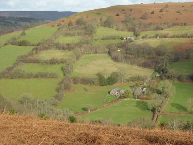
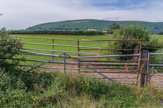
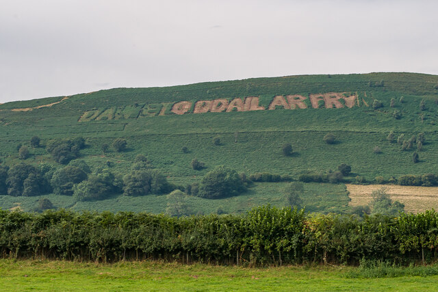
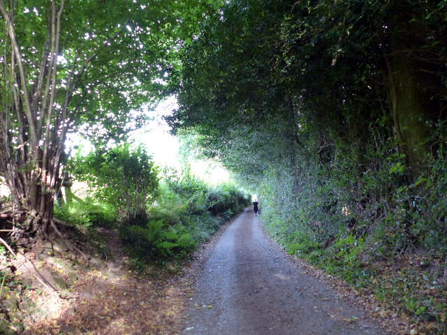
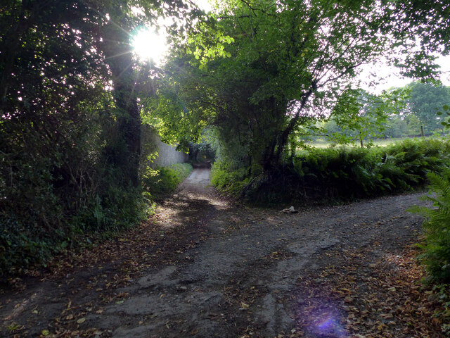
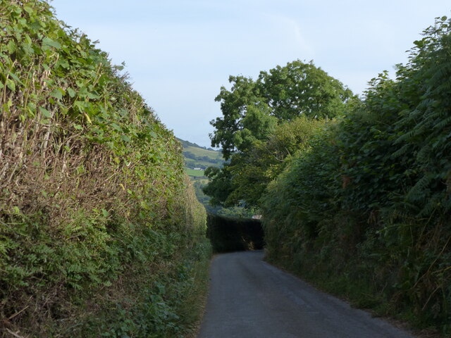
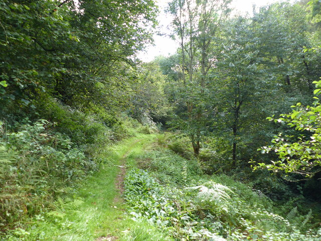
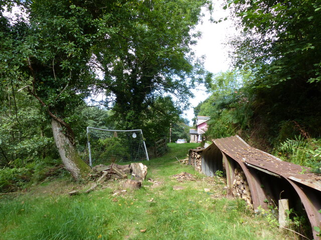
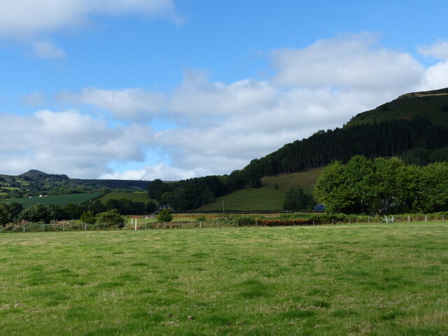
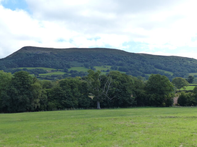
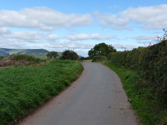
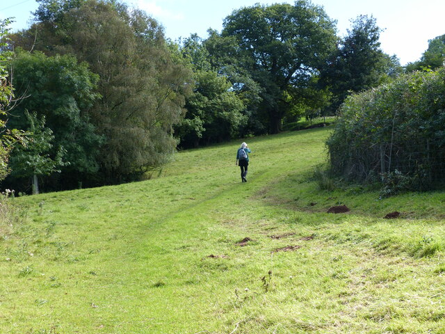
Blaen-Gavenny Wood is a beautiful woodland located in Monmouthshire, Wales. Covering an area of approximately 100 hectares, the wood is known for its diverse range of tree species, including oak, beech, and birch. The woodland is a popular destination for nature enthusiasts and hikers, offering a network of well-maintained trails that meander through the trees and across streams.
Visitors to Blaen-Gavenny Wood can enjoy a peaceful and tranquil environment, with the sound of birdsong and the rustling of leaves providing a soothing backdrop to their outdoor experience. The wood is also home to a variety of wildlife, including deer, squirrels, and a wide array of bird species.
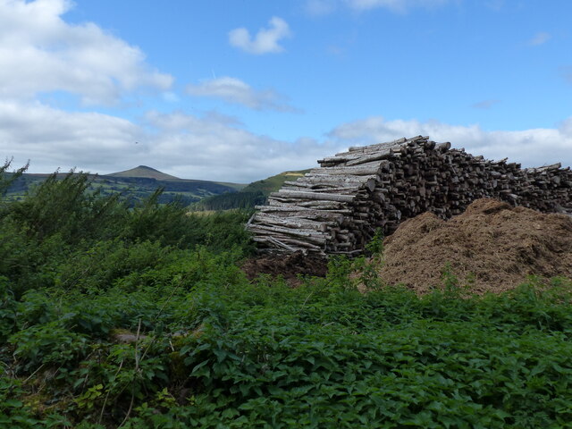
In addition to its natural beauty, Blaen-Gavenny Wood has historical significance, with remnants of ancient settlements and industrial activity scattered throughout the area. The wood is managed by the Forestry Commission, which works to preserve the natural ecosystem while providing opportunities for recreation and education.
Overall, Blaen-Gavenny Wood is a hidden gem in Monmouthshire, offering a peaceful retreat for those looking to connect with nature and explore the beauty of the Welsh countryside.
If you have any feedback on the listing, please let us know in the comments section below.
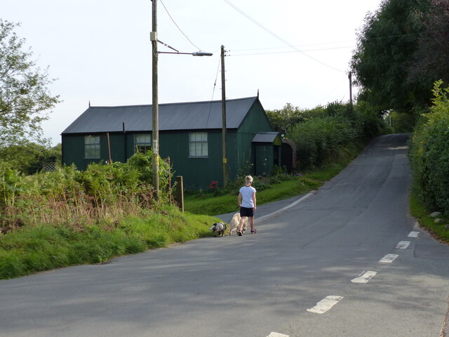
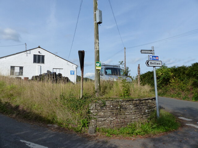
Blaen-Gavenny Wood Images
Images are sourced within 2km of 51.866025/-3.0000186 or Grid Reference SO3119. Thanks to Geograph Open Source API. All images are credited.
Blaen-Gavenny Wood is located at Grid Ref: SO3119 (Lat: 51.866025, Lng: -3.0000186)
Unitary Authority: Monmouthshire
Police Authority: Gwent
What 3 Words
///attaching.decades.discussed. Near Abergavenny, Monmouthshire
Nearby Locations
Related Wikis

Blaengavenny Farmhouse, Llanvihangel Crucorney
Blaengavenny Farmhouse, Llanvihangel Crucorney, Monmouthshire is a farmhouse of late medieval origins. It is a Grade II listed building. Its adjacent barn...
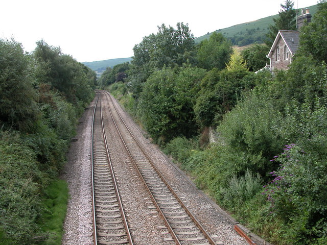
Llanvihangel railway station
Llanvihangel railway station was a former station which served the Monmouthshire village of Llanvihangel Crucorney. It was located on the Welsh Marches...

Pen-y-Clawdd Court
Pen-y-Clawdd Court is a Grade I listed country house in Llanvihangel Crucorney, Monmouthshire, Wales, situated 1 mile (1.6 km) to the southwest of the...

Bryn Arw
Bryn Arw is a hill in the Black Mountains of the Brecon Beacons National Park in Monmouthshire, south Wales. It lies 4 km north of the town of Abergavenny...
Nearby Amenities
Located within 500m of 51.866025,-3.0000186Have you been to Blaen-Gavenny Wood?
Leave your review of Blaen-Gavenny Wood below (or comments, questions and feedback).