Cae Pea Brake
Wood, Forest in Monmouthshire
Wales
Cae Pea Brake

Cae Pea Brake is a picturesque woodland located in Monmouthshire, Wales. Covering an area of approximately 200 acres, it is a haven for nature enthusiasts and offers a tranquil escape from the bustling city life. The woodland is situated within the boundaries of the Brecon Beacons National Park, adding to its allure and natural beauty.
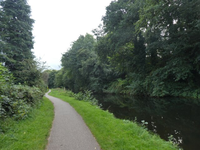
The landscape of Cae Pea Brake is characterized by a diverse mix of trees, including native species such as oak, beech, and birch. These majestic trees provide a dense canopy, creating a shaded and cool environment. The forest floor is adorned with a rich carpet of ferns, bluebells, and wildflowers, enhancing the scenic beauty of the woodland.
Cae Pea Brake is home to a variety of wildlife, making it a popular destination for birdwatchers and nature photographers. Visitors may spot woodland birds such as the great spotted woodpecker, tawny owl, and redstart, along with mammals like foxes, badgers, and squirrels. The woodland also boasts a diverse range of insect species, including butterflies and dragonflies.
A network of well-maintained footpaths and trails wind their way through Cae Pea Brake, offering visitors the opportunity to explore the woodland at their own pace. These paths lead to hidden glades, bubbling streams, and peaceful picnic spots, allowing visitors to immerse themselves in the natural surroundings.
Cae Pea Brake is a valuable asset to the local community and is managed by a dedicated team of conservationists and volunteers. Their efforts ensure that the woodland remains a sanctuary for wildlife and a cherished destination for visitors seeking solace in nature.
If you have any feedback on the listing, please let us know in the comments section below.
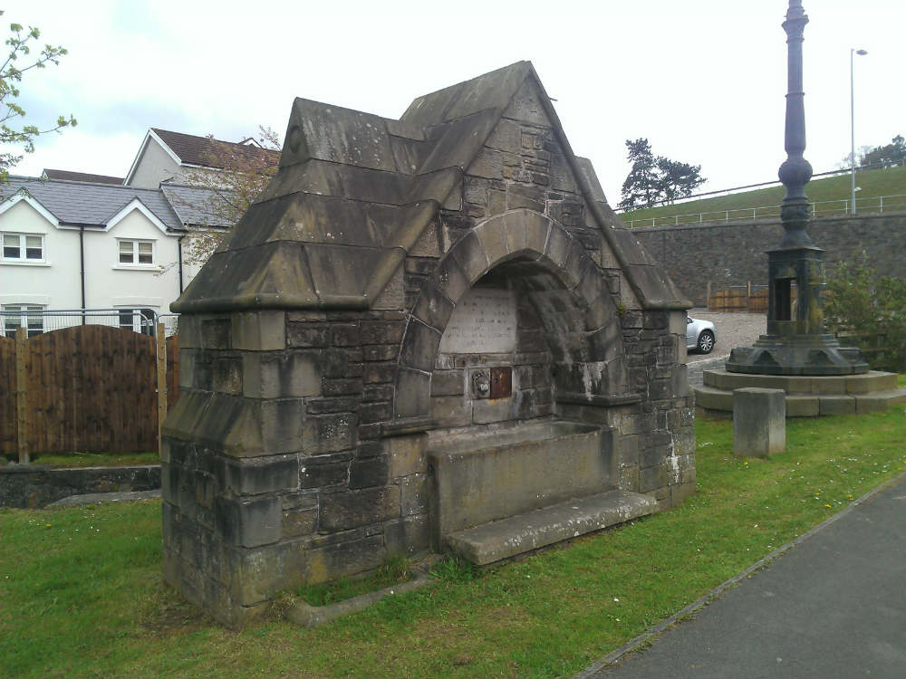
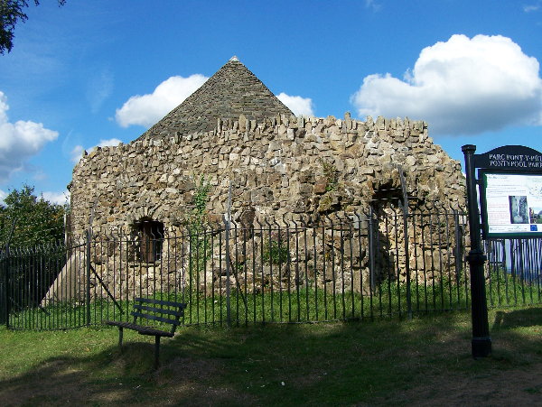
Cae Pea Brake Images
Images are sourced within 2km of 51.694858/-3.0155269 or Grid Reference SO2900. Thanks to Geograph Open Source API. All images are credited.


Cae Pea Brake is located at Grid Ref: SO2900 (Lat: 51.694858, Lng: -3.0155269)
Unitary Authority: Torfaen
Police Authority: Gwent
What 3 Words
///spicy.taken.cried. Near New Inn, Torfaen
Nearby Locations
Related Wikis

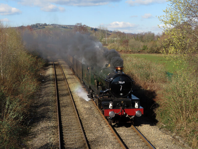
Pontypool and New Inn railway station
Pontypool and New Inn railway station (Welsh: Pont-y Pwl & New Inn) is situated to the south east of Pontypool town centre between the town and the suburb...

Polo Grounds, New Inn
The Polo Grounds, Pontypool Road was a sports ground and former greyhound racing track in New Inn, near Pontypool, Torfaen, south Wales. The Polo Ground...

New Inn
New Inn - (Welsh: Y Dafarn Newydd) - is a village and community directly south east of Pontypool, within the County Borough of Torfaen in Wales, within...

Griffithstown Railway Museum
Griffithstown Railway Museum was a railway memorabilia museum located in Griffithstown, Torfaen, South Wales. It was housed in a former Great Western Railway...
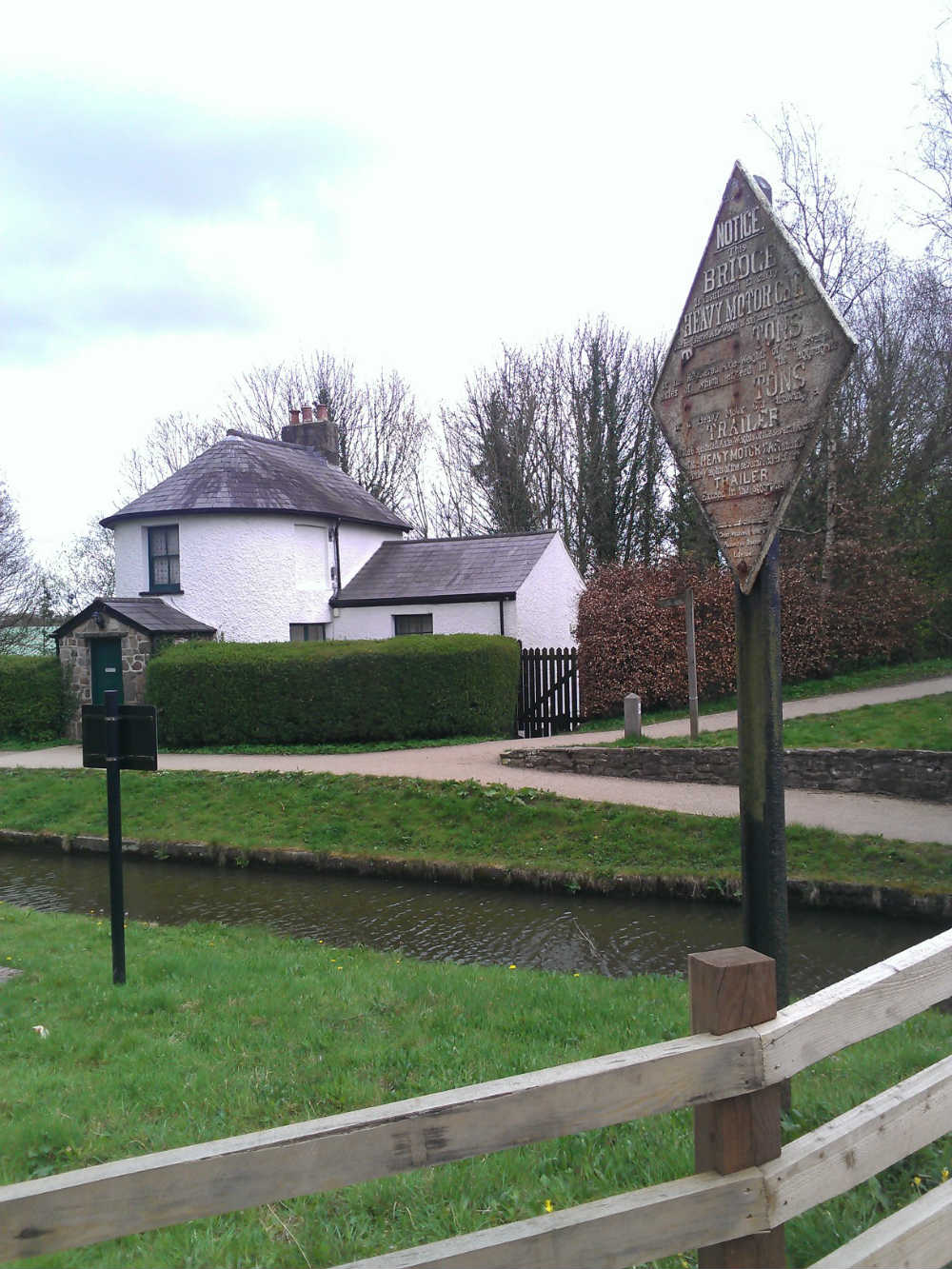
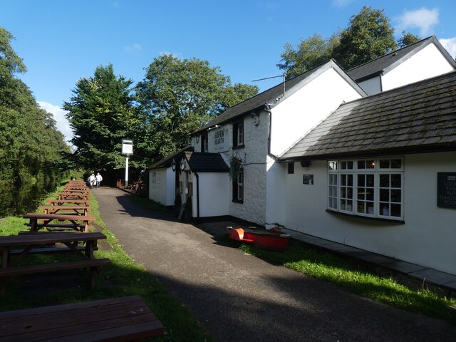
Pontymoile Basin
Pontymoile Basin is a mooring point and canal junction on the Monmouthshire & Brecon Canal. == Location == The basin lies on the Pontypool stretch of the...
Pontymoile
Pontymoile (Welsh: Pont-y-moel) is a suburb of Pontypool in Torfaen, South Wales. It is all but merged with the nearby suburbs of Cwmynyscoy and Upper...

County Hospital, Torfaen
County Hospital (Welsh: Ysbyty'r Sir) is a community hospital in Griffithstown in the county borough of Torfaen, Wales. It is often referred to locally...
Shell Grotto, Pontypool
The Shell Grotto - (Welsh: Groto Cregyn) - (sometimes called the Shell Hermitage) is a Grade II* listed (as of 7 February 1962) late-18th-century stone...
Nearby Amenities
Located within 500m of 51.694858,-3.0155269Have you been to Cae Pea Brake?
Leave your review of Cae Pea Brake below (or comments, questions and feedback).