Coed Cae Breast
Wood, Forest in Monmouthshire
Wales
Coed Cae Breast

Coed Cae Breast is a lush woodland located in Monmouthshire, Wales. Spanning over a vast area, it is renowned for its natural beauty and rich biodiversity. The wood is situated in a hilly region, with its boundaries extending up to the Welsh borders. It provides a peaceful retreat for nature lovers, hikers, and photographers alike.
The forest boasts a diverse range of tree species, including oak, beech, and ash, which contribute to its vibrant and picturesque landscape. These trees provide a sanctuary for countless species of birds, mammals, and insects. Birdwatchers can spot various species, such as the great spotted woodpecker, nuthatch, and buzzard, among others.
Coed Cae Breast offers a network of well-maintained trails, allowing visitors to explore its wonders at their own pace. Whether it be a leisurely stroll or a more challenging hike, the woodland caters to all levels of fitness and interest. The paths wind through the forest, taking visitors past babbling brooks, moss-covered rocks, and enchanting clearings.
In the spring, the forest floor comes alive with a vibrant display of bluebells, wild garlic, and other native wildflowers. This explosion of color creates a picturesque scene that attracts photographers and nature enthusiasts from far and wide.
The wood is also home to a variety of wildlife, including deer, badgers, and foxes. Lucky visitors may even catch a glimpse of these elusive creatures during their visit.
Coed Cae Breast is a true gem in Monmouthshire, offering a tranquil escape from the hustle and bustle of everyday life. Its natural beauty and abundance of wildlife make it a must-visit destination for anyone seeking a connection with nature.
If you have any feedback on the listing, please let us know in the comments section below.
Coed Cae Breast Images
Images are sourced within 2km of 51.698942/-3.0256459 or Grid Reference SO2900. Thanks to Geograph Open Source API. All images are credited.


Coed Cae Breast is located at Grid Ref: SO2900 (Lat: 51.698942, Lng: -3.0256459)
Unitary Authority: Torfaen
Police Authority: Gwent
What 3 Words
///harder.melon.piano. Near Pontypool, Torfaen
Nearby Locations
Related Wikis
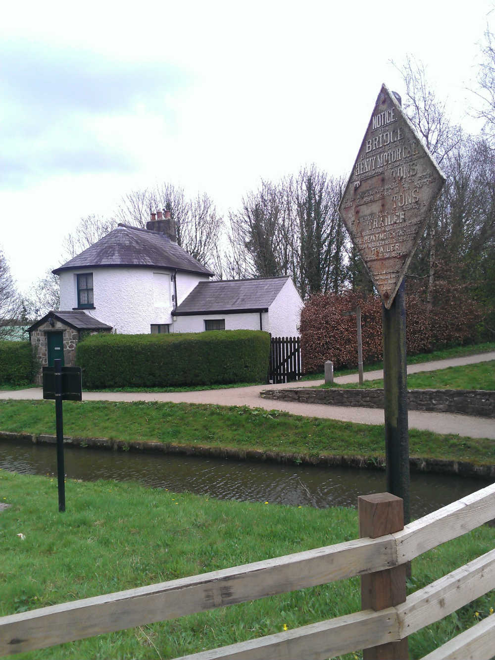
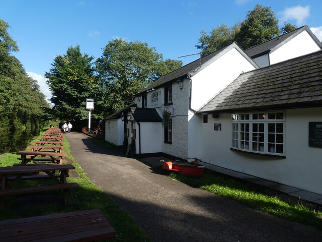
Pontymoile Basin
Pontymoile Basin is a mooring point and canal junction on the Monmouthshire & Brecon Canal. == Location == The basin lies on the Pontypool stretch of the...

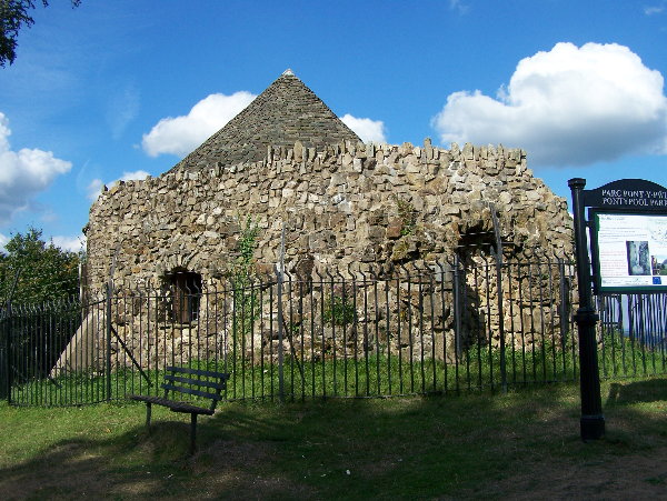
Griffithstown Railway Museum
Griffithstown Railway Museum was a railway memorabilia museum located in Griffithstown, Torfaen, South Wales. It was housed in a former Great Western Railway...
Pontymoile
Pontymoile (Welsh: Pont-y-moel) is a suburb of Pontypool in Torfaen, South Wales. It is all but merged with the nearby suburbs of Cwmynyscoy and Upper...
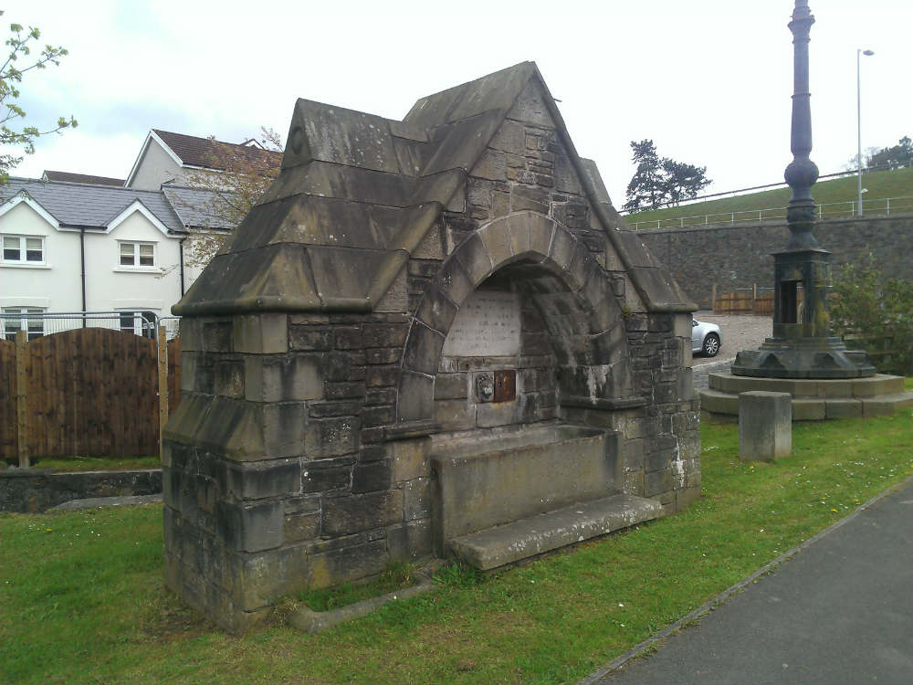
Shell Grotto, Pontypool
The Shell Grotto - (Welsh: Groto Cregyn) - (sometimes called the Shell Hermitage) is a Grade II* listed (as of 7 February 1962) late-18th-century stone...

Blaendare Road Halt railway station
Blaendare Road Halt railway station served Pontymoile and Cwmynyscoy to the south of Pontypool town centre in Torfaen, South Wales, UK. == History == The...

Pontypool Clarence Street railway station
Pontypool Clarence Street railway station was a station on the former Taff Vale Extension (TVE) of the Newport, Abergavenny and Hereford Railway. The TVE...

West Monmouth School
West Monmouth School (Welsh: Ysgol Gorllewin Mynwy; colloquially: West Mon) is a state-funded and non-selective secondary school in Pontypool, Torfaen...

Pontypool and New Inn railway station
Pontypool and New Inn railway station (Welsh: Pont-y Pwl & New Inn) is situated to the south east of Pontypool town centre between the town and the suburb...
Nearby Amenities
Located within 500m of 51.698942,-3.0256459Have you been to Coed Cae Breast?
Leave your review of Coed Cae Breast below (or comments, questions and feedback).