Coed Bald
Wood, Forest in Monmouthshire
Wales
Coed Bald
Coed Bald is a wood and forest located in Monmouthshire, Wales. Covering an area of approximately 500 acres, it is situated near the village of Llanvetherine, about 5 miles northeast of the town of Abergavenny. The wood is part of the wider Coed-y-Bryn Special Area of Conservation.
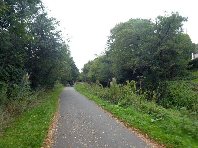
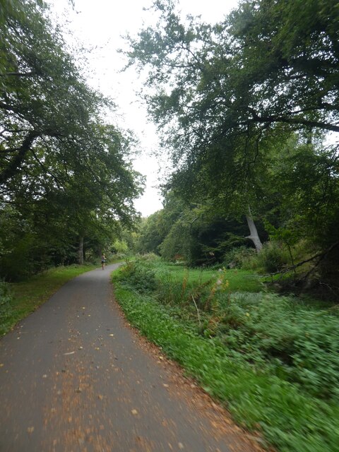
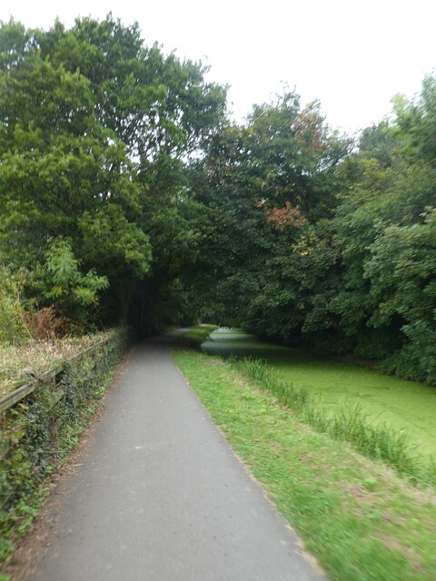
Coed Bald is characterized by its diverse range of trees and plant species, including oak, beech, ash, and birch. These trees create a dense canopy, providing a habitat for various wildlife species such as deer, badgers, and a variety of birds.
The wood offers several walking trails, allowing visitors to explore its natural beauty and enjoy the tranquil surroundings. The paths wind through the trees, offering glimpses of stunning woodland vistas and opportunities for birdwatching.
Coed Bald also has historical significance, with evidence of human activity dating back to the Bronze Age. The area contains several ancient earthwork enclosures and burial mounds, indicating its use by early settlers.
The wood is managed by the Woodland Trust, a conservation charity dedicated to protecting and restoring woodlands across the UK. They work to maintain the ecological balance of Coed Bald, preserving its natural heritage for future generations.
Overall, Coed Bald is a picturesque wood and forest, offering visitors the chance to immerse themselves in nature, explore its rich biodiversity, and delve into its ancient history.
If you have any feedback on the listing, please let us know in the comments section below.
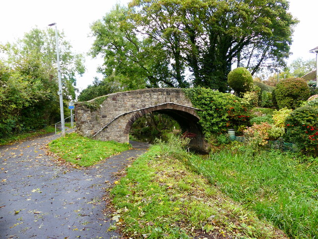
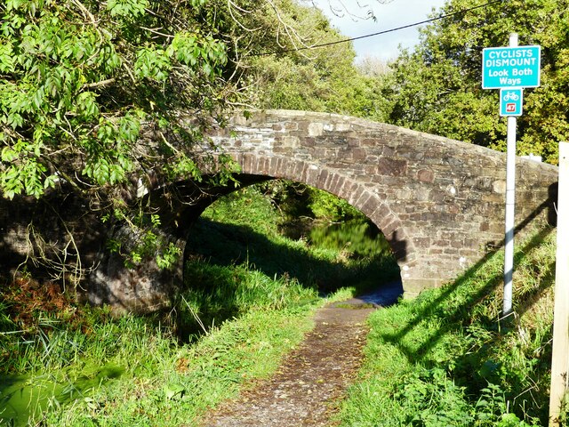
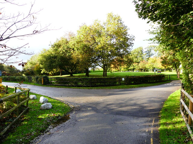
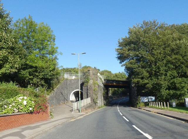
Coed Bald Images
Images are sourced within 2km of 51.608701/-3.0562184 or Grid Reference ST2690. Thanks to Geograph Open Source API. All images are credited.


Coed Bald is located at Grid Ref: ST2690 (Lat: 51.608701, Lng: -3.0562184)
Unitary Authority: Newport
Police Authority: Gwent
What 3 Words
///snuck.bespoke.lobby. Near Risca, Caerphilly
Related Wikis

Risca Community Comprehensive School
Risca Community Comprehensive School is a community comprehensive school located in the town of Risca near Newport on the eastern side of the Caerphilly...

Welsh Oak
The Welsh Oak is a pub located in Pontymister, Caerphilly County Borough, Wales. In recent years, due to a decline in trade, the pub has ceased trading...
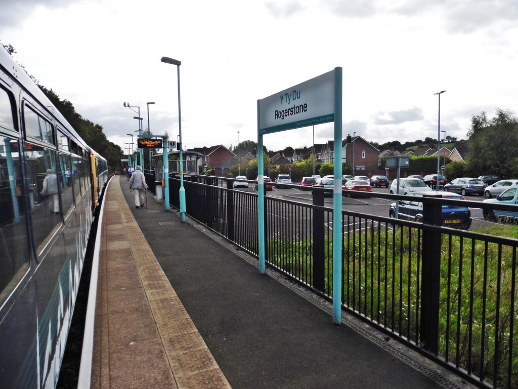
Rogerstone railway station
Rogerstone railway station (Welsh: Tŷ-du) is a station on the Ebbw Valley Railway in the community of Rogerstone in Newport, south Wales. The station is...
Bettws, Newport
Bettws (Welsh: Betws) is a large modern housing estate, electoral ward and coterminous community (parish) of the city of Newport, South Wales. == Etymology... ==
Nearby Amenities
Located within 500m of 51.608701,-3.0562184Have you been to Coed Bald?
Leave your review of Coed Bald below (or comments, questions and feedback).