Coed Bedw
Wood, Forest in Monmouthshire
Wales
Coed Bedw
Coed Bedw, located in Monmouthshire, is a picturesque woodland area known for its lush greenery and tranquil atmosphere. Covering an area of approximately 100 acres, this forest is a popular destination for nature lovers and outdoor enthusiasts.
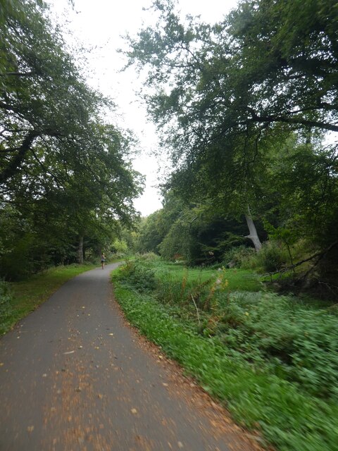
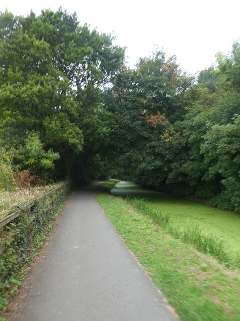
The woodland is primarily composed of native broadleaf trees such as oak, beech, and ash, creating a diverse and vibrant ecosystem. The forest floor is carpeted with a variety of wildflowers, ferns, and mosses, adding to the enchanting ambiance of the area.
Coed Bedw is home to a wide range of wildlife, including numerous bird species, small mammals like squirrels and rabbits, and occasional sightings of deer. The forest provides a natural habitat for these creatures, offering a safe haven for them to thrive.
The woodland is crisscrossed by a network of walking trails, allowing visitors to explore the area at their own pace. These paths wind through the dense foliage, offering stunning views of the surrounding landscape and providing opportunities for peaceful walks, jogging, or cycling.
Coed Bedw also has several picnic spots, providing the perfect opportunity for visitors to take a break and enjoy the serenity of the forest. The area is well-maintained, with regular maintenance and conservation efforts to preserve its natural beauty.
Overall, Coed Bedw in Monmouthshire is a haven for nature enthusiasts seeking a peaceful retreat. Its rich biodiversity, scenic trails, and tranquil atmosphere make it an idyllic destination for anyone looking to immerse themselves in the beauty of a woodland setting.
If you have any feedback on the listing, please let us know in the comments section below.
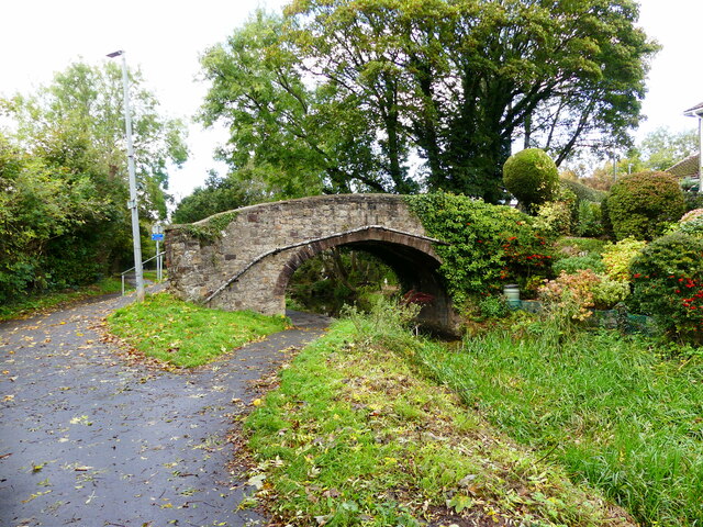
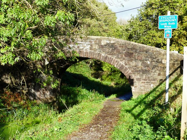
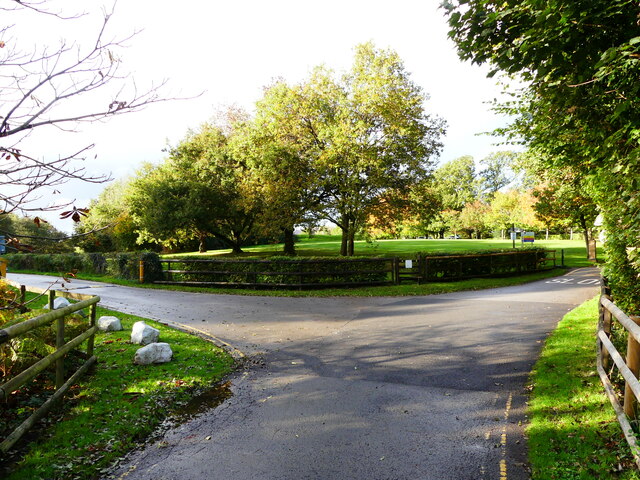
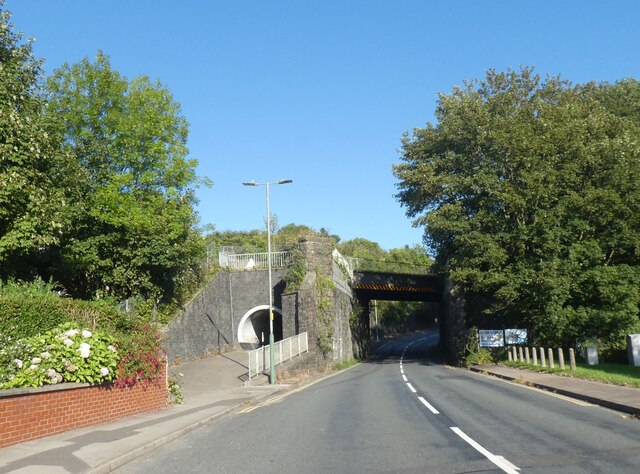
Coed Bedw Images
Images are sourced within 2km of 51.610887/-3.0611793 or Grid Reference ST2690. Thanks to Geograph Open Source API. All images are credited.


Coed Bedw is located at Grid Ref: ST2690 (Lat: 51.610887, Lng: -3.0611793)
Unitary Authority: Newport
Police Authority: Gwent
What 3 Words
///fidget.rinses.carbonate. Near Risca, Caerphilly
Related Wikis

Risca Community Comprehensive School
Risca Community Comprehensive School is a community comprehensive school located in the town of Risca near Newport on the eastern side of the Caerphilly...

Welsh Oak
The Welsh Oak is a pub located in Pontymister, Caerphilly County Borough, Wales. In recent years, due to a decline in trade, the pub has ceased trading...
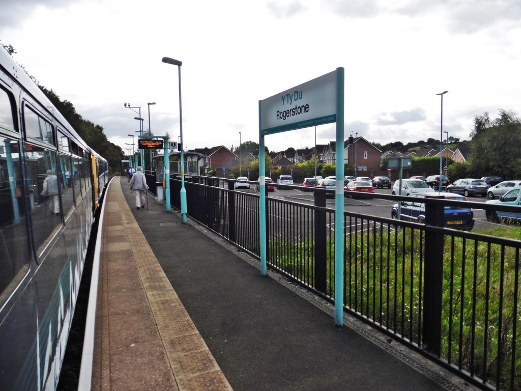
Rogerstone railway station
Rogerstone railway station (Welsh: Tŷ-du) is a station on the Ebbw Valley Railway in the community of Rogerstone in Newport, south Wales. The station is...
Tynycwm Halt railway station
Tynycwm Halt railway station served the town of Risca, Monmouthshire, Wales, from 1935 to 1962 on the Monmouthshire Railway. == History == The station...
Nearby Amenities
Located within 500m of 51.610887,-3.0611793Have you been to Coed Bedw?
Leave your review of Coed Bedw below (or comments, questions and feedback).