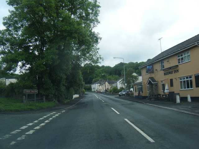
Coed Talon

Wood, Forest in Flintshire

Wales

Coed Talon

Fferm, Pontblyddyn An Elizabethan manor house.
Fferm, Pontblyddyn Credit: Chris Andrews

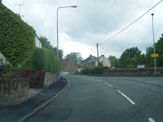
Coed Talon is a small village located in the county of Flintshire, Wales. Situated in the northeastern part of the country, it is surrounded by picturesque woodlands and forests. The name "Coed Talon" translates to "wood" or "forest" in English, which perfectly reflects the area's lush and abundant natural beauty.

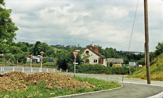
The village is characterized by its peaceful and rural atmosphere, making it an ideal destination for those seeking tranquility and a connection with nature. The dense woodlands that surround Coed Talon offer a myriad of outdoor recreational activities, including hiking, cycling, and wildlife spotting. The area is home to a wide variety of flora and fauna, with many rare and protected species making their homes within the forests.

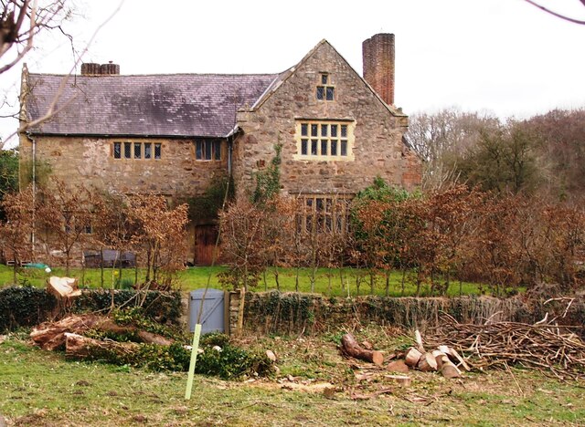
Coed Talon is also known for its historical significance, with several ancient landmarks and remnants of the past scattered throughout the village. The area has a rich mining heritage, with evidence of coal mining dating back to the 19th century. Visitors can explore old mine shafts and learn about the village's industrial past through various exhibitions and guided tours.

In terms of amenities, Coed Talon boasts a close-knit community with a small number of local shops, pubs, and a primary school. The village provides a peaceful retreat from the bustling cities, while still offering essential services and a sense of community for its residents. Coed Talon truly captures the essence of rural Wales, with its beautiful woodlands, rich history, and welcoming atmosphere.

If you have any feedback on the listing, please let us know in the comments section below.
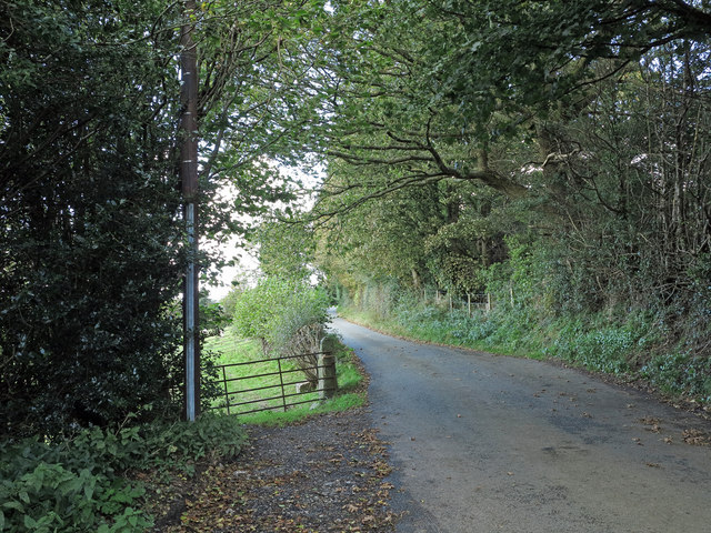
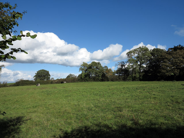
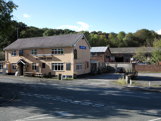
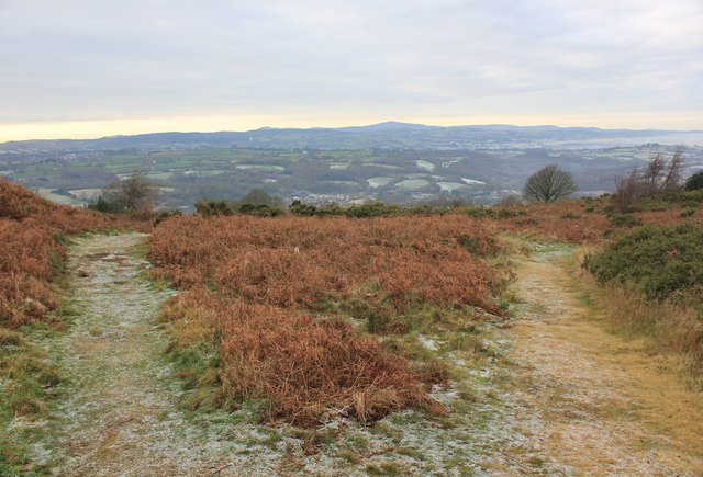
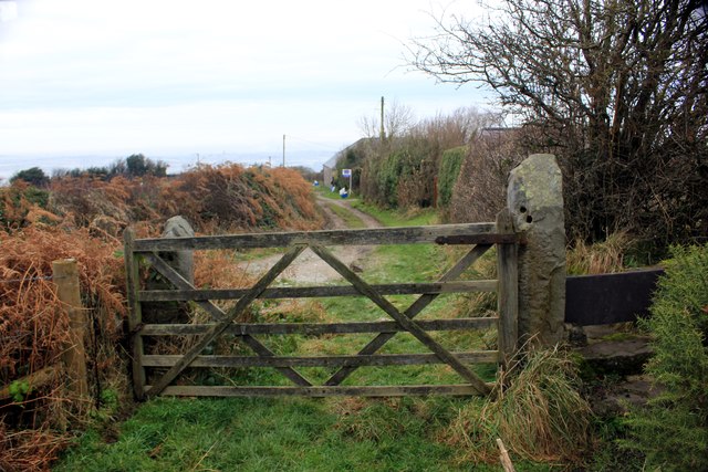
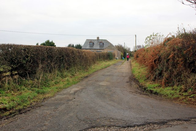
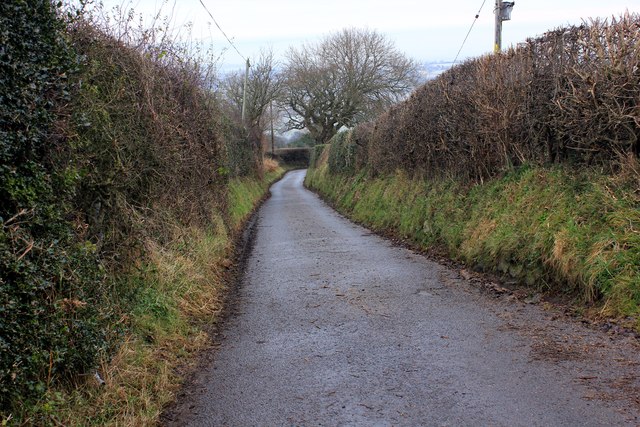
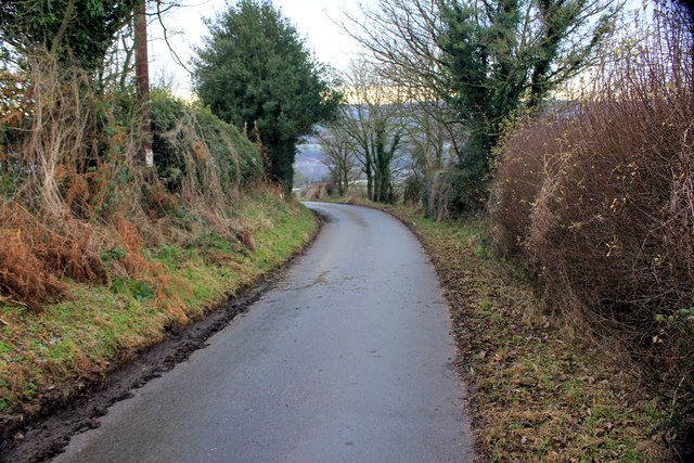
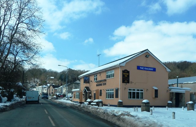
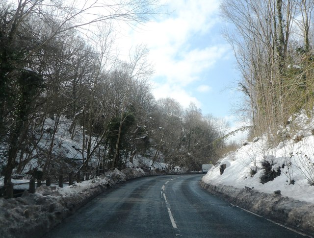
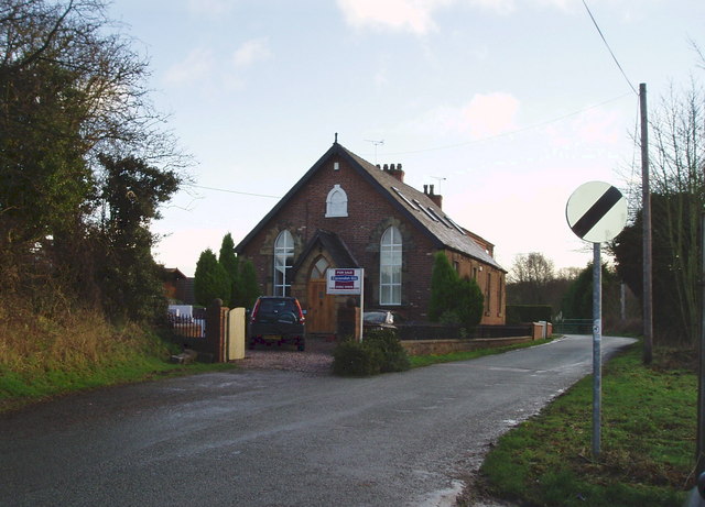
Coed Talon Images

Images are sourced within 2km of 53.123142/-3.0983139 or Grid Reference SJ2659. Thanks to Geograph Open Source API. All images are credited.

Fferm, Pontblyddyn An Elizabethan manor house.
Fferm, Pontblyddyn
An Elizabethan manor house.
Corwen Road at Pontybodkin
Corwen Road at Coed Talon boundary
Corwen Road at Treuddyn petrol station
Site of Coed Talon station, 1986 View NE on A5104, at the former crossing of the LNW & GW Joint line from Mold (left) to Brymbo (right). Nothing whatever is to be seen now relating to the railway, the line having been closed finally on 22/7/63, to passengers from 27/3/50.
Site of Coed Talon station, 1986
View NE on A5104, at the former crossing of the LNW & GW Joint line from Mold (left) to Brymbo (right). Nothing whatever is to be seen now relating to the railway, the line having been closed finally on 22/7/63, to passengers from 27/3/50.
Minor road north-west of Mynydd Bychan The road is seen descending northwards on hill slopes below the Waun-y-Llyn Country Park.
Minor road north-west of Mynydd Bychan
The road is seen descending northwards on hill slopes below the Waun-y-Llyn Country Park.
Field east of Coed-talon The field is passed by a minor road descending to Coed-talon; it also lies south-east of the delightfully named village, Pontybodkin.
Field east of Coed-talon
The field is passed by a minor road descending to Coed-talon; it also lies south-east of the delightfully named village, Pontybodkin.
The Railway Inn and other buildings The Railway Inn is in the village of  Coed-talon on the A5104 between Treuddyn and Pontybodkin. There's no longer a railway there of course.
The Railway Inn and other buildings
The Railway Inn is in the village of Coed-talon on the A5104 between Treuddyn and Pontybodkin. There's no longer a railway there of course.
Pathway at Waen y Llyn Country Park Waen y Llyn Country Park near Hope Mountain.
Pathway at Waen y Llyn Country Park
Waen y Llyn Country Park near Hope Mountain.
Stile and Gate at Waen y Llyn Country Park One of the entrances to Waen y Llyn Country Park at its northern end.
Stile and Gate at Waen y Llyn Country Park
One of the entrances to Waen y Llyn Country Park at its northern end.
Lane at Berth Lane at Berth leading to Waen y Llyn Country Park.
Lane at Berth
Lane at Berth leading to Waen y Llyn Country Park.
Country Lane at Berth Lane at Berth heading east.
Country Lane at Berth
Lane at Berth heading east.
Lane to Pontybodkin Lane heading west from Berth to Pontybodkin.
Lane to Pontybodkin
Lane heading west from Berth to Pontybodkin.
The Railway Inn
The Railway Inn
The A5104 in Nant Wood
Treuddyn petrol station
House at Treuddyn
House at Treuddyn
Cattle in field beside Frank Farm From a footpath heading west from Pontybodkin
Cattle in field beside Frank Farm
From a footpath heading west from Pontybodkin
Show me another place!

Coed Talon is located at Grid Ref: SJ2659 (Lat: 53.123142, Lng: -3.0983139)

Unitary Authority: Flintshire

Police Authority: North Wales

What 3 Words

///special.crank.playful. Near Leeswood, Flintshire

Nearby Locations

Coed Talon

Related Wikis

Coed Talon railway station

Coed Talon railway station was a station in Coed Talon, Flintshire, Wales. The station was opened on 1 January 1892, closed to passengers on 27 March 1950...

Coed Talon

Coed Talon (also spelt "Coed-talon") is a small, formerly industrial village between Leeswood and Treuddyn in Flintshire, Wales. Its name is derived from...

Leeswood

Leeswood (Welsh: Coed-llai) is a village, community and electoral ward in Flintshire, Wales, about four miles from the historic market town of Mold. At...

Treuddyn

Treuddyn is a village, community and electoral ward in Flintshire, Wales, located just off the A5104 road, around 4 miles south-east of Mold and 3 miles...

Nearby Amenities

Located within 500m of 53.123142,-3.0983139
Pub
The Railway Inn
Addr Postcode: CH7 4TP
Addr Street: Corwen Road
Fhrs Id: 610664
Source Addr: FHRS Open Data
Wikidata: Q80855385
Lat/Long: 53.1227838/-3.0941992
Coed Talon
Place: village
Wikidata: Q5140534
Lat/Long: 53.1223245/-3.0943265
Leisure: playground
Lat/Long: 53.1217152/-3.0940262
Power: pole
Lat/Long: 53.1192656/-3.100749
Power: pole
Lat/Long: 53.1197695/-3.1013471
Power: pole
Lat/Long: 53.1208479/-3.0978844
Power: pole
Lat/Long: 53.1204697/-3.099955
Power: pole
Lat/Long: 53.1203119/-3.1008965
Power: pole
Lat/Long: 53.1201413/-3.1018299
Power: pole
Lat/Long: 53.1199852/-3.1027767
Material: wood
Power: pole
Lat/Long: 53.1227055/-3.0936196
Direction: SSW
Generator Method: photovoltaic
Generator Output Electricity: yes
Generator Solar Modules: 10
Generator Source: solar
Generator Type: solar_photovoltaic_panel
Location: roof
Power: generator
Lat/Long: 53.1218234/-3.0956715
Direction: ESE
Generator Method: photovoltaic
Generator Output Electricity: yes
Generator Solar Modules: 9
Generator Source: solar
Generator Type: solar_photovoltaic_panel
Location: roof
Power: generator
Lat/Long: 53.1218463/-3.0955582
Direction: 170
Generator Method: photovoltaic
Generator Output Electricity: yes
Generator Solar Modules: 18
Generator Source: solar
Generator Type: solar_photovoltaic_panel
Location: roof
Power: generator
Lat/Long: 53.1246402/-3.0934775
Coed Talon
Historic Railway: station
Railway: site
Wikidata: Q28971094
Wikipedia: en:Coed Talon railway station
Lat/Long: 53.1232502/-3.0939535
The data included in this document is from www.openstreetmap.org. The data is made available under ODbL.

Have you been to Coed Talon?

Leave your review of Coed Talon below (or comments, questions and feedback).