Gwern-beifiog Wood
Wood, Forest in Flintshire
Wales
Gwern-beifiog Wood

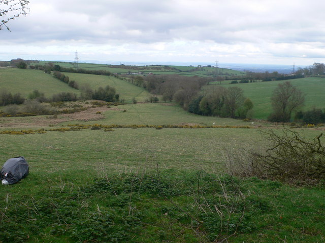
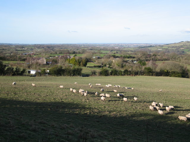
Gwern-beifiog Wood is a picturesque forest located in Flintshire, Wales. Covering an area of approximately 100 hectares, this woodland is a haven for nature lovers and outdoor enthusiasts. The wood is situated near the village of Gwernaffield-y-Waun, just a few miles north of the town of Mold.
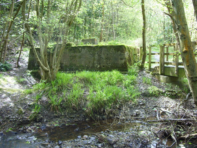
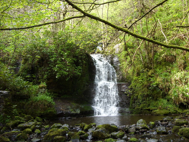
The woodland is predominantly made up of native broadleaf trees, including oak, beech, and birch, which create a rich and diverse ecosystem. The forest floor is adorned with carpets of bluebells in the spring, adding a vibrant burst of color to the landscape. The wood also features a small stream that meanders through its heart, providing a soothing soundtrack to visitors.
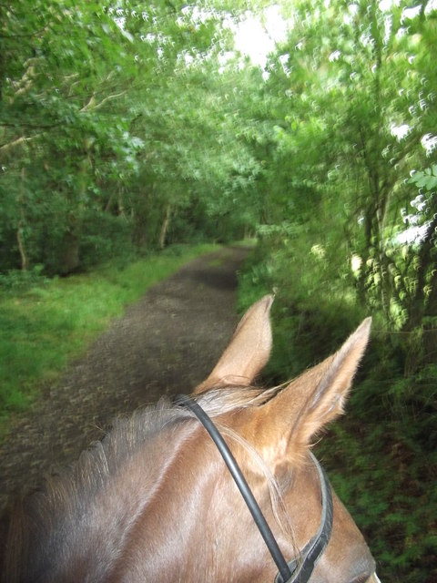
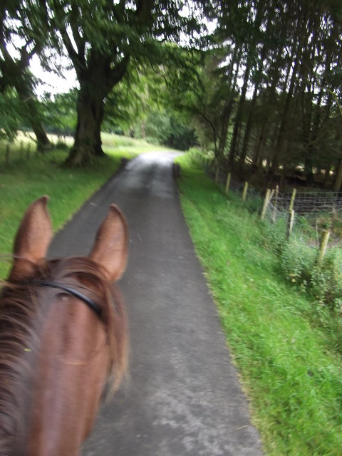
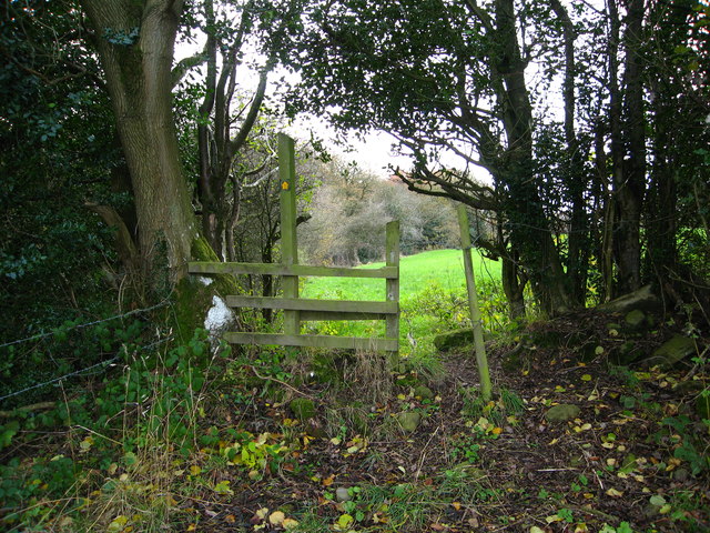
Gwern-beifiog Wood offers a variety of walking trails, ranging from easy strolls to more challenging hikes. These trails are well-maintained and offer stunning views of the surrounding countryside. Along the way, visitors may encounter a wide array of wildlife, including squirrels, deer, and a diverse range of bird species. The wood is also home to a number of rare plant species, making it a significant conservation area.
The forest is a popular destination for families, who can enjoy picnicking in the designated areas, as well as participating in educational activities and nature walks. The wood is also frequently used by local schools and community groups for outdoor learning and environmental education programs.
Overall, Gwern-beifiog Wood is a charming and tranquil destination, offering visitors the opportunity to immerse themselves in the beauty of nature and experience the rich biodiversity of the area.
If you have any feedback on the listing, please let us know in the comments section below.
Gwern-beifiog Wood Images
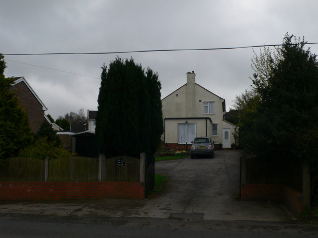
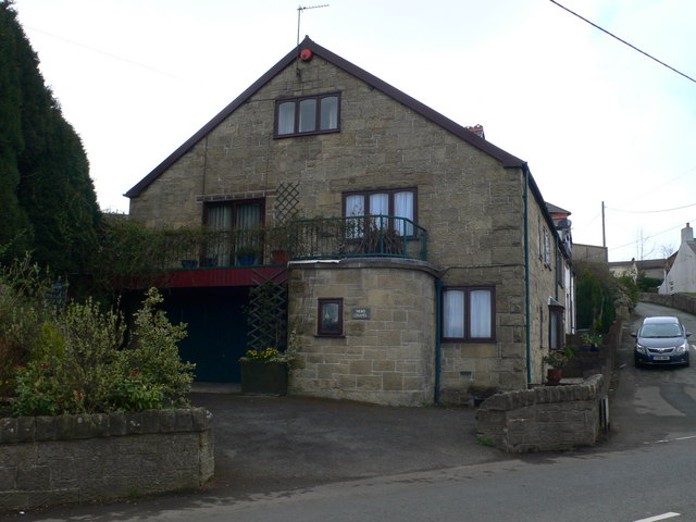
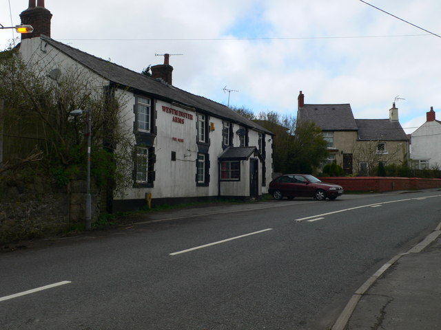
Images are sourced within 2km of 53.078269/-3.1106215 or Grid Reference SJ2554. Thanks to Geograph Open Source API. All images are credited.


Gwern-beifiog Wood is located at Grid Ref: SJ2554 (Lat: 53.078269, Lng: -3.1106215)
Unitary Authority: Flintshire
Police Authority: North Wales
What 3 Words
///blunt.huddle.catapult. Near Brymbo, Wrexham
Nearby Locations
Related Wikis
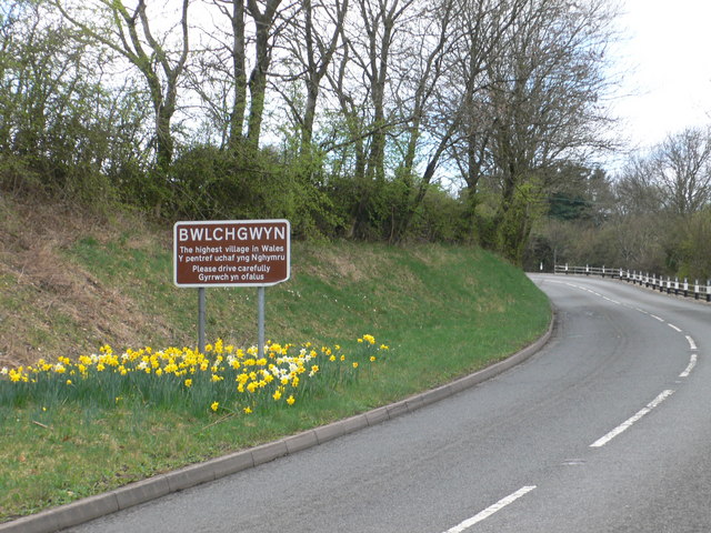
Bwlchgwyn
Bwlchgwyn (Welsh: Bwlch-gwyn) is a village in Wrexham County Borough, Wales, on the A525 road, 5 miles (8 km) west of the city of Wrexham and 10 miles...

Gwynfryn, Wrexham
Gwynfryn is a hill-top village in the community of Minera in Wrexham County Borough, Wales. Its name, originally that of the village chapel, is formed...

Ogof Dydd Byraf
Ogof Dydd Byraf is a cave which extends under Esclusham Mountain in the north-east Wales from its entrance in the south face of the Minera Limeworks quarry...
Minera Limeworks
The Minera Limeworks were extensive lime quarries and kilns at Minera in Wrexham, Wales. It was located at grid reference SJ253520, near the villages...
Nearby Amenities
Located within 500m of 53.078269,-3.1106215Have you been to Gwern-beifiog Wood?
Leave your review of Gwern-beifiog Wood below (or comments, questions and feedback).