Coed Pen-y-nant

Wood, Forest in Flintshire

Wales

Coed Pen-y-nant

Peniel Chapel Dating from 1823, now sadly derelict.
Peniel Chapel Credit: John H Darch

The requested URL returned error: 429 Too Many Requests

If you have any feedback on the listing, please let us know in the comments section below.

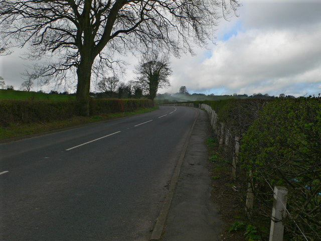
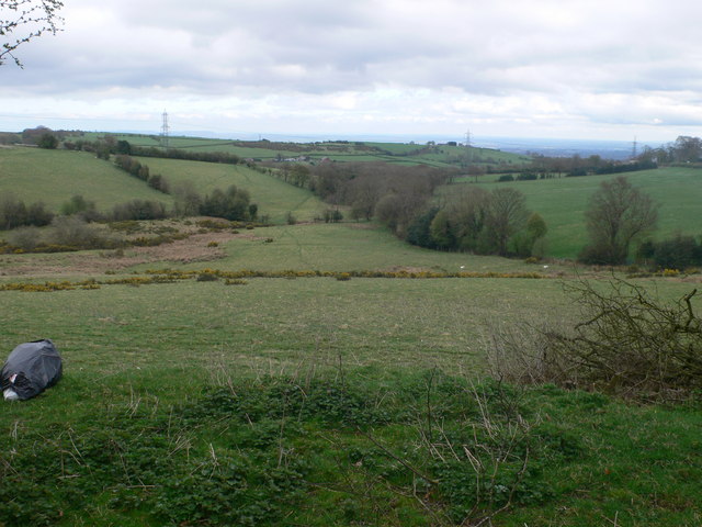
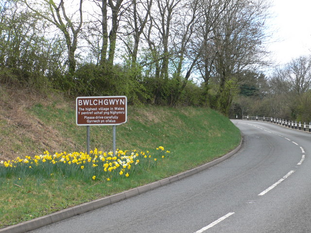
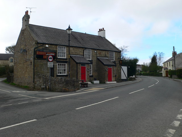
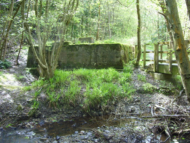
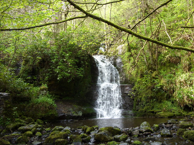
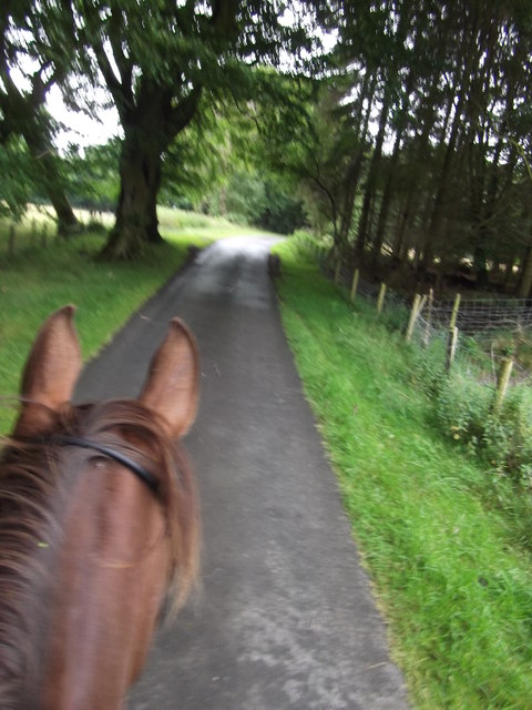
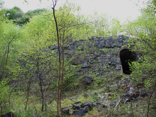
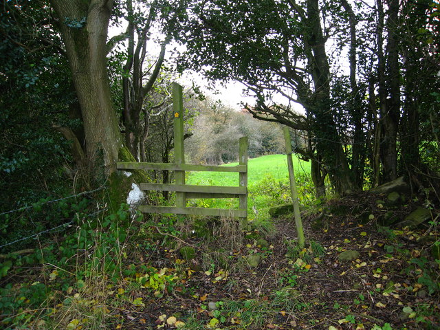
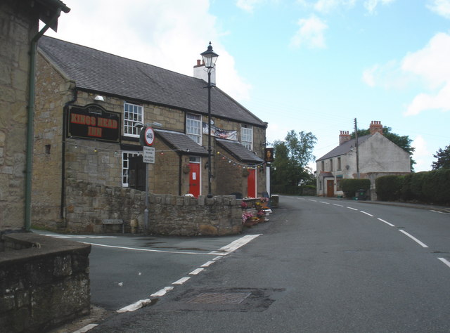
Coed Pen-y-nant Images

Images are sourced within 2km of 53.075696/-3.1099582 or Grid Reference SJ2553. Thanks to Geograph Open Source API. All images are credited.

Peniel Chapel Dating from 1823, now sadly derelict.
Peniel Chapel
Dating from 1823, now sadly derelict.
The A525 Ruthin Road between Bwlchgwyn and Minera
View northeastwards from the Ruthin Road in Minera
Approaching Bwlchgwyn - the "highest village in Wales" At an elevation of approx 1100ft, and about 6 miles from Wrexham, it is not unusual for Bwlchgwyn to be cut off by snow whilst Wrexham enjoys beautiful spring weather.
Approaching Bwlchgwyn - the "highest village in Wales"
At an elevation of approx 1100ft, and about 6 miles from Wrexham, it is not unusual for Bwlchgwyn to be cut off by snow whilst Wrexham enjoys beautiful spring weather.
The Kings Head Inn, Bwlchgwyn Standing on the crossroads of Ruthin Road, Fronheulog Hill and Brymbo Road. The last remaining open pub in Bwlchgwyn.
The Kings Head Inn, Bwlchgwyn
Standing on the crossroads of Ruthin Road, Fronheulog Hill and Brymbo Road. The last remaining open pub in Bwlchgwyn.
Christ Church, Bwlchgwyn Christ Church was consecrated on 1 October 1879. Originally built as a school in 1867, an application was made between 1876 and 1879 to the Church Authorities , for a grant towards the conversion of the building from a school to a church.
Christ Church, Bwlchgwyn
Christ Church was consecrated on 1 October 1879. Originally built as a school in 1867, an application was made between 1876 and 1879 to the Church Authorities , for a grant towards the conversion of the building from a school to a church.
The Old Police Station, Bwlchgwyn
Capel Nebo, Bwlchgwyn Now converted into a house, this chapel was built in 1852 for the Independents.
Capel Nebo, Bwlchgwyn
Now converted into a house, this chapel was built in 1852 for the Independents.
Westminster Arms, Bwlchgwyn This is another pub which is no longer in business.
Westminster Arms, Bwlchgwyn
This is another pub which is no longer in business.
Opencast lead workings The mining for lead in the 19th century and earlier has left a deep, straight opencast trench almost 300m long following the vein. There are also shafts reaching deeper such as this one in the centre with a tree growing out of it
Opencast lead workings
The mining for lead in the 19th century and earlier has left a deep, straight opencast trench almost 300m long following the vein. There are also shafts reaching deeper such as this one in the centre with a tree growing out of it
Opencast lead workings Old workings for lead dug opencast from the surface along the vein has left a straight, deep 'valley' over 300m long, with shafts alongside
Opencast lead workings
Old workings for lead dug opencast from the surface along the vein has left a straight, deep 'valley' over 300m long, with shafts alongside
Concrete structure, Nant y Ffrith This large concrete base is next to the footbridge and has the rough-cast concrete look of a 1930s or 40s industrial building. What was its purpose? Mining? There are mounting bolts and nearby coils of old wire rope. There is a mine level near.
Concrete structure, Nant y Ffrith
This large concrete base is next to the footbridge and has the rough-cast concrete look of a 1930s or 40s industrial building. What was its purpose? Mining? There are mounting bolts and nearby coils of old wire rope. There is a mine level near.
Waterfall, Nant y Ffrith
Lane going towards Wern Ganol A really quiet lane continuing off the bridleway from The Smithy near Llanfynydd. A pleasant ride with a switched on horse! - ears pricked!
Lane going towards Wern Ganol
A really quiet lane continuing off the bridleway from The Smithy near Llanfynydd. A pleasant ride with a switched on horse! - ears pricked!
Tall quarry at Minera Quarries This quarry has a towering, narrow entrance with massive cliffs and is circular in shape making it full of echoes.
Tall quarry at Minera Quarries
This quarry has a towering, narrow entrance with massive cliffs and is circular in shape making it full of echoes.
Hoffman kiln at Minera Quarry
Stile between grazing fields Beside a woodland strip, on a footpath between Glascoed Road and Cefn Road
Stile between grazing fields
Beside a woodland strip, on a footpath between Glascoed Road and Cefn Road
Moors Inn, Four Crosses
Show me another place!

Coed Pen-y-nant is located at Grid Ref: SJ2553 (Lat: 53.075696, Lng: -3.1099582)

Unitary Authority: Flintshire

Police Authority: North Wales

What 3 Words

///kickbacks.wheels.lizards. Near Brymbo, Wrexham

Related Wikis

Bwlchgwyn

Bwlchgwyn (Welsh: Bwlch-gwyn) is a village in Wrexham County Borough, Wales, on the A525 road, 5 miles (8 km) west of the city of Wrexham and 10 miles...

Gwynfryn, Wrexham

Gwynfryn is a hill-top village in the community of Minera in Wrexham County Borough, Wales. Its name, originally that of the village chapel, is formed...

Ogof Dydd Byraf

Ogof Dydd Byraf is a cave which extends under Esclusham Mountain in the north-east Wales from its entrance in the south face of the Minera Limeworks quarry...

Minera Limeworks

The Minera Limeworks were extensive lime quarries and kilns at Minera in Wrexham, Wales. It was located at grid reference SJ253520, near the villages...

Nearby Amenities

Located within 500m of 53.075696,-3.1099582
Grit Bin
Lat/Long: 53.074198/-3.103295
Grit Bin
Lat/Long: 53.072025/-3.112295
Direction: 190
Generator Method: photovoltaic
Generator Output Electricity: yes
Generator Solar Modules: 16
Generator Source: solar
Generator Type: solar_photovoltaic_panel
Location: roof
Power: generator
Lat/Long: 53.0728738/-3.1050763
Direction: 190
Generator Method: photovoltaic
Generator Output Electricity: yes
Generator Solar Modules: 10
Generator Source: solar
Generator Type: solar_photovoltaic_panel
Location: roof
Power: generator
Lat/Long: 53.0728657/-3.1048873
Direction: 195
Generator Method: photovoltaic
Generator Output Electricity: yes
Generator Solar Modules: 13
Generator Source: solar
Generator Type: solar_photovoltaic_panel
Location: roof
Power: generator
Lat/Long: 53.0742645/-3.103526
Four Crosses
Name Cy: Four Crosses
Name En: Four Crosses
Place: isolated_dwelling
Wikidata: Q107032546
Lat/Long: 53.073617/-3.1138972
Direction: 185
Generator Method: photovoltaic
Generator Output Electricity: yes
Generator Solar Modules: 16
Generator Source: solar
Generator Type: solar_photovoltaic_panel
Location: roof
Power: generator
Lat/Long: 53.073251/-3.1132172
Direction: SE
Generator Method: photovoltaic
Generator Output Electricity: yes
Generator Solar Modules: 18
Generator Source: solar
Generator Type: solar_photovoltaic_panel
Location: roof
Power: generator
Lat/Long: 53.0793016/-3.1070133
Direction: 190
Generator Method: photovoltaic
Generator Output Electricity: yes
Generator Solar Modules: 6
Generator Source: solar
Generator Type: solar_photovoltaic_panel
Location: roof
Power: generator
Lat/Long: 53.0728554/-3.1048045
The data included in this document is from www.openstreetmap.org. The data is made available under ODbL.

Have you been to Coed Pen-y-nant?

Leave your review of Coed Pen-y-nant below (or comments, questions and feedback).