Gwernto Wood
Wood, Forest in Flintshire
Wales
Gwernto Wood

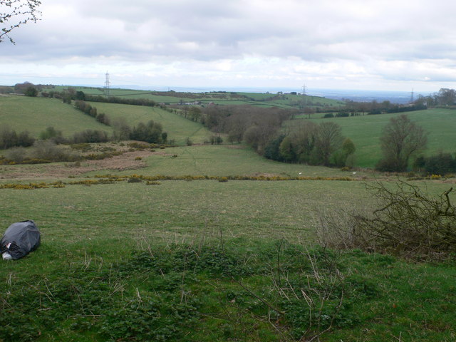
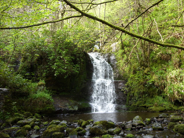
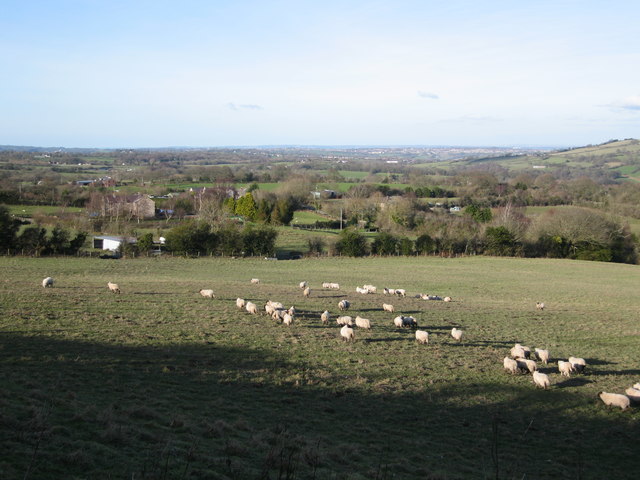
Gwernto Wood is a picturesque woodland located in Flintshire, Wales. Covering an area of approximately 60 hectares, this forest is a popular destination for nature enthusiasts and hikers. The wood is situated near the villages of Gwernymynydd and Pantymwyn, offering a tranquil and idyllic setting for visitors to enjoy.
The wood is primarily composed of native broadleaf trees, such as oak, beech, and birch, which create a rich and diverse ecosystem. These trees provide habitat for a variety of wildlife, including birds, squirrels, and various species of insects.
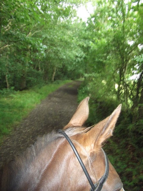
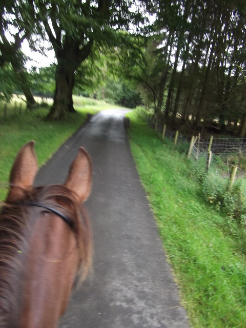
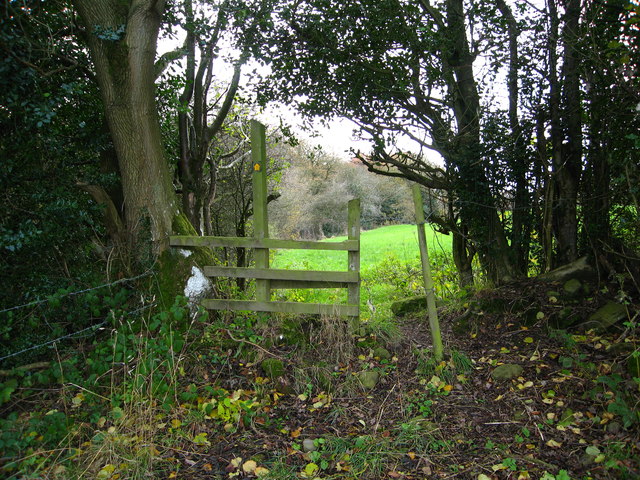
Gwernto Wood features well-maintained footpaths and trails, allowing visitors to explore the forest at their own pace. The paths wind through the woodland, leading to beautiful viewpoints and peaceful spots for picnicking. Additionally, there are designated areas for camping and barbecues, making it an ideal destination for family outings and outdoor activities.
The forest is managed by local authorities, ensuring the preservation of its natural beauty and biodiversity. Conservation efforts are in place to protect the woodland and its inhabitants, promoting sustainable practices and responsible visitor behavior.
Gwernto Wood is easily accessible by car, with ample parking available nearby. The forest is open to the public throughout the year, offering a peaceful retreat from the hustle and bustle of everyday life. Whether it's a leisurely stroll, birdwatching, or simply enjoying the serenity of nature, Gwernto Wood provides a welcoming environment for all nature enthusiasts to enjoy.
If you have any feedback on the listing, please let us know in the comments section below.
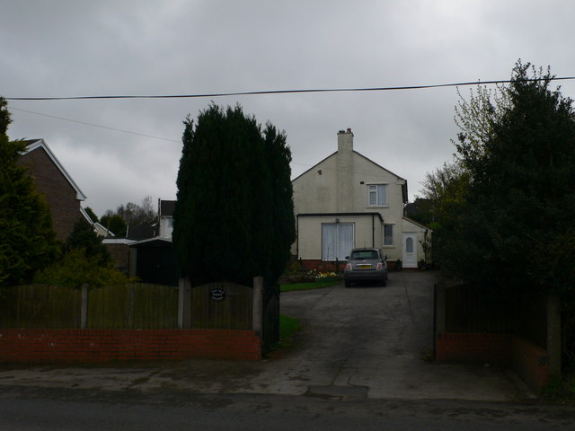
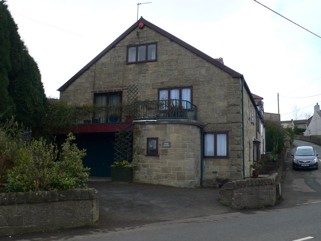
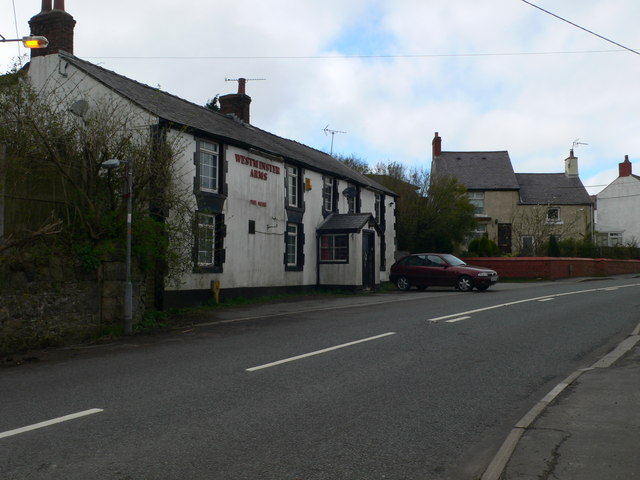
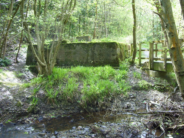
Gwernto Wood Images
Images are sourced within 2km of 53.080733/-3.1095653 or Grid Reference SJ2554. Thanks to Geograph Open Source API. All images are credited.


Gwernto Wood is located at Grid Ref: SJ2554 (Lat: 53.080733, Lng: -3.1095653)
Unitary Authority: Flintshire
Police Authority: North Wales
What 3 Words
///zebra.pebble.swooning. Near Brymbo, Wrexham
Nearby Locations
Related Wikis
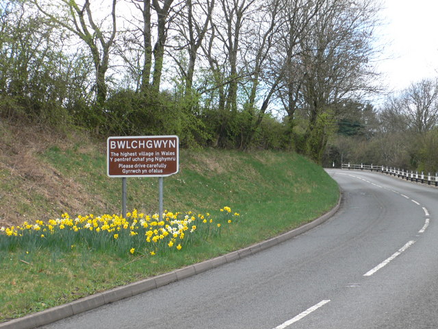
Bwlchgwyn
Bwlchgwyn (Welsh: Bwlch-gwyn) is a village in Wrexham County Borough, Wales, on the A525 road, 5 miles (8 km) west of the city of Wrexham and 10 miles...

Gwynfryn, Wrexham
Gwynfryn is a hill-top village in the community of Minera in Wrexham County Borough, Wales. Its name, originally that of the village chapel, is formed...

North East Wales
North East Wales (Welsh: Gogledd-Ddwyrain Cymru) is an area or region of Wales, commonly defined as a grouping of the principal areas of Denbighshire,...

North East Wales National Park
A national park has been proposed to replace the Clwydian Range and Dee Valley AONB in the north-east of Wales. Proposals for the then Clwydian Range AONB...
Nearby Amenities
Located within 500m of 53.080733,-3.1095653Have you been to Gwernto Wood?
Leave your review of Gwernto Wood below (or comments, questions and feedback).